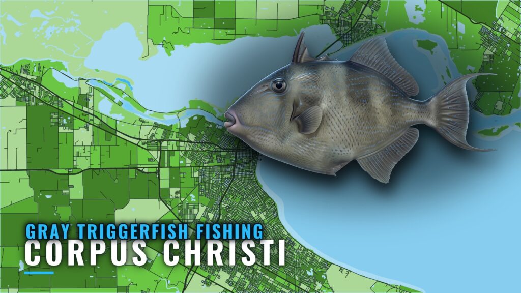
Gray triggerfish fishing out of Corpus Christi is a reef-structure fishery. Gray triggerfish increased after materials were deployed at the TPWD Corpus Christi Reef Site, which shows the structure holds fish. This guide maps the reefs by run distance from Packery Channel and Port Aransas. For the wider coast, see the gray triggerfish fishing in the Gulf of Mexico and the Gulf of Mexico offshore fishing guide.
Where boats run from Corpus Christi
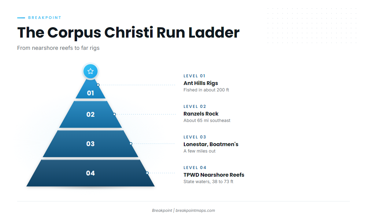
Two inlets set your run: Packery Channel and Port Aransas. Distances below are measured from the barrier islands. State waters hold the short runs, and the far grounds are the long ones.
Nearshore state-water reefs
- TPWD Corpus Christi Reef Site. A nearshore reef with a 38 to 73 ft depth range.
- TPWD nearshore reef, 160 acres. It sits in 70 ft of state waters between Packery Channel and Port Aransas.
- Lonestar Reef and Boatmen’s Reef. Both lie a few miles out from the barrier islands.
Anglers moving up from bay fishing in a 20 to 26 ft boat should start with this tier.
Farther grounds
- Ranzels Rock. About 65 miles southeast of Corpus Christi.
- 29 Fathom Bank. A mid-shelf bank.
- Ant Hills area oil rigs. Fished in about 200 feet of water.
These runs call for bigger boats with the fuel range to match.
Grounds and structure that hold triggerfish
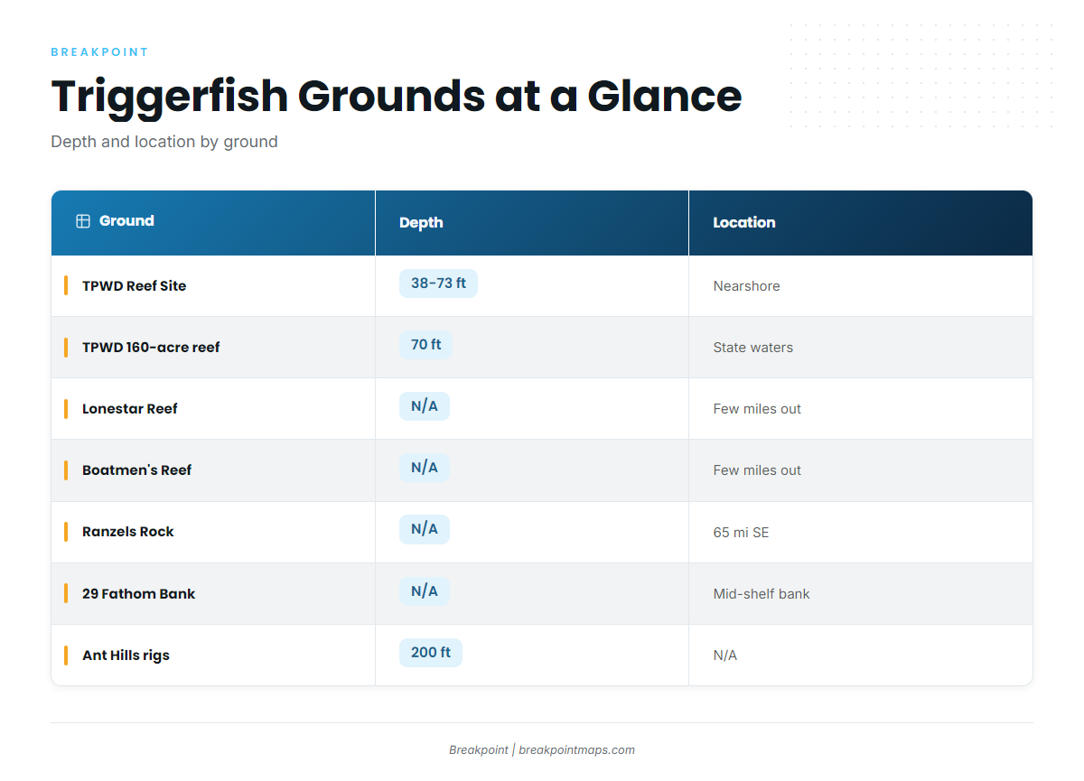
The table lists every named ground with the depth and location details available for each. The short entries below add what is known about each one.
| Ground | Depth | Distance or location |
|---|---|---|
| TPWD Corpus Christi Reef Site | 38 to 73 ft | Nearshore |
| TPWD nearshore reef (160 acres) | 70 ft | State waters between Packery Channel and Port Aransas |
| Lonestar Reef | A few miles out from the barrier islands | |
| Boatmen’s Reef | A few miles out from the barrier islands | |
| Mustang Island-775 | Backup spot | |
| Ranzels Rock | About 65 miles southeast of Corpus Christi | |
| 29 Fathom Bank | Mid-shelf bank | |
| Ant Hills area oil rigs | 200 ft |
TPWD Corpus Christi Reef Site
The reef sits in 38 to 73 ft and comes from the TPWD artificial reef program. It is the first ground to learn.
TPWD nearshore reef between Packery Channel and Port Aransas
This 160-acre TPWD reef lies in 70 ft in state waters between the two inlets.
Lonestar Reef and Boatmen’s Reef
Both reefs sit a few miles out from the barrier islands.
Mustang Island-775
This is the backup spot.
Ranzels Rock
It lies about 65 miles southeast of Corpus Christi.
29 Fathom Bank
A mid-shelf bank, and the other long run on the list.
Ant Hills area oil rigs
The rigs are fished in about 200 feet of water.
How triggerfish are fished here
The local method is reef fishing over the structure above. You work the reef, the bank or the rig rather than open water. Chart layers are not for navigation.
Who fishes for them out of this port
Private boaters run their own boats from Packery Channel and Port Aransas. The nearshore state-water reefs suit the shorter runs. Ranzels Rock, 29 Fathom Bank and the Ant Hills rigs are the long runs.
FAQ: gray triggerfish fishing out of Corpus Christi
Where do boats catch gray triggerfish out of Corpus Christi?
Gray triggerfish fishing out of Corpus Christi centers on the TPWD nearshore reefs between Packery Channel and Port Aransas, plus Lonestar Reef and Boatmen’s Reef a few miles out from the barrier islands. Farther out, boats run to Ranzels Rock, 29 Fathom Bank and the Ant Hills rigs.
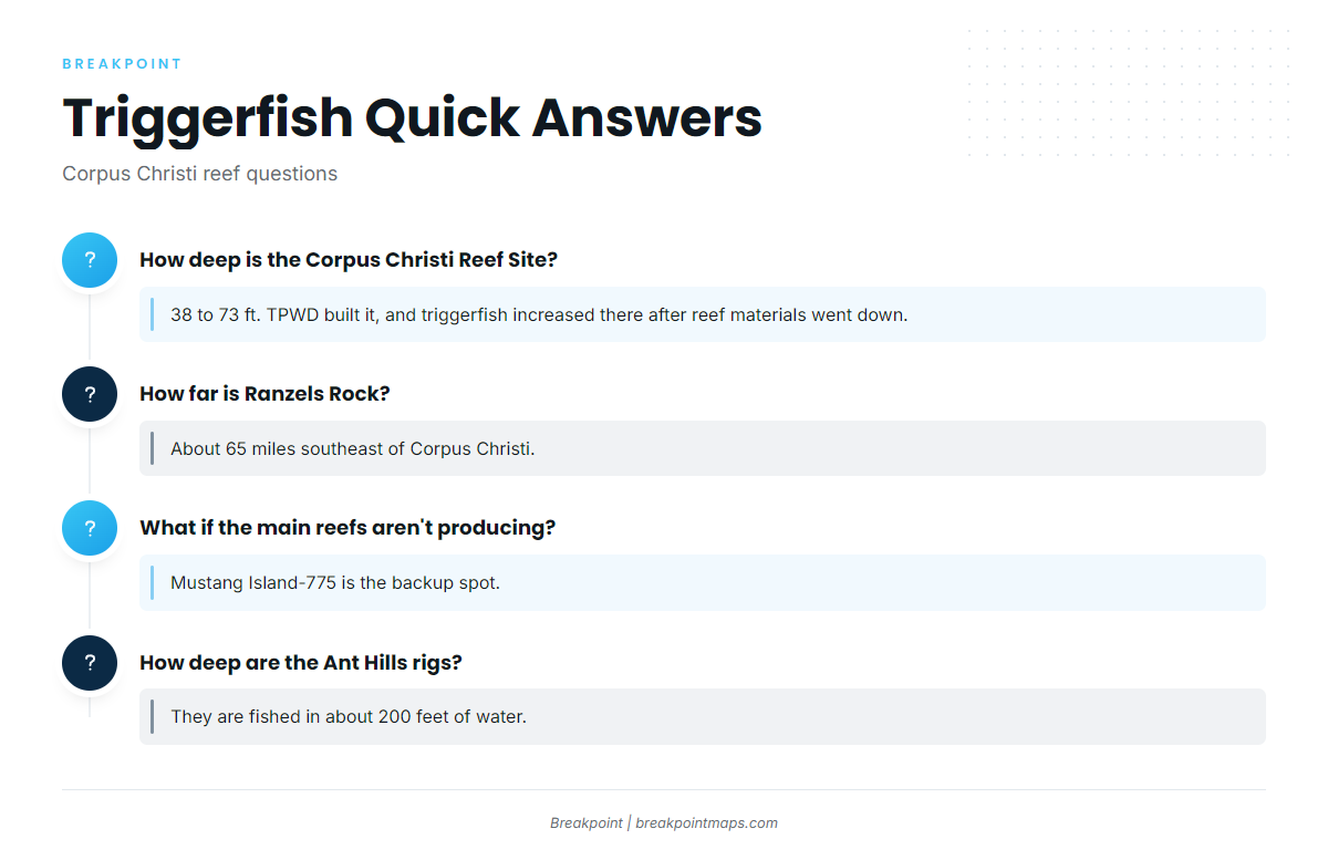
How deep is the Corpus Christi Reef Site?
It sits in 38 to 73 ft. TPWD built it, and gray triggerfish increased there after reef materials were deployed.
How far is Ranzels Rock?
About 65 miles southeast of Corpus Christi.
What do I do if the main reefs aren’t producing?
Mustang Island-775 is the backup spot.
How deep are the Ant Hills rigs?
They are fished in about 200 feet of water.
Where are the triggerfish rules?
TPWD rules apply on the state-water reefs, and federal Gulf reef fish rules apply on the far grounds. Check both agencies before you fish.