Blackfin tuna fishing out of Georgetown happens in late fall or late winter, and it means running offshore in cold weather. This guide covers the season, 8 named grounds with their depths, and the one NOAA station to read before you leave the dock. It’s written for owner-operators running their own boats.
When blackfin are off Georgetown
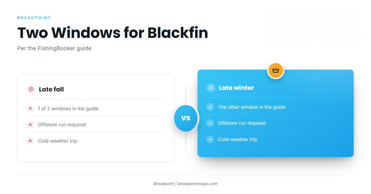
The FishingBooker Georgetown guide puts blackfin tuna off Georgetown, South Carolina, in late fall or late winter, so those are the 2 windows to plan around. For the fish itself, start with our blackfin tuna guide. For the wider picture along this coast, see Atlantic Southeast blackfin (see also the wider Atlantic Southeast guide).
| Window | Season |
|---|---|
| Late fall | First of the 2 windows |
| Late winter | Second of the 2 windows |
Late fall and late winter
Both windows involve a cold-weather offshore run, so plan for that.
Running in cold weather
The trip needs a captain willing to run offshore in cold weather, and if you run your own boat, that’s you. Whether to go comes down to the numbers on the day. The NIWS1 section below shows where to start reading them.
Grounds and structure near Georgetown
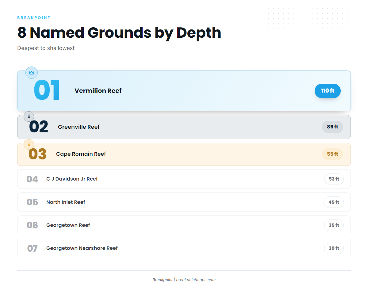
These are the 8 named grounds and structure near Georgetown, sorted by depth. The depths match the South Carolina artificial reef locations, so you can check them against the state listing. You can mark any of them on the Chart Contours layer. Chart layers are not for navigation.
| Name | Depth (ft) | Bearing/distance |
|---|---|---|
| Hector Reef | 12 | |
| Georgetown Nearshore Reef | 30 | |
| Georgetown Reef | 35 | |
| North Inlet Reef | 45 | |
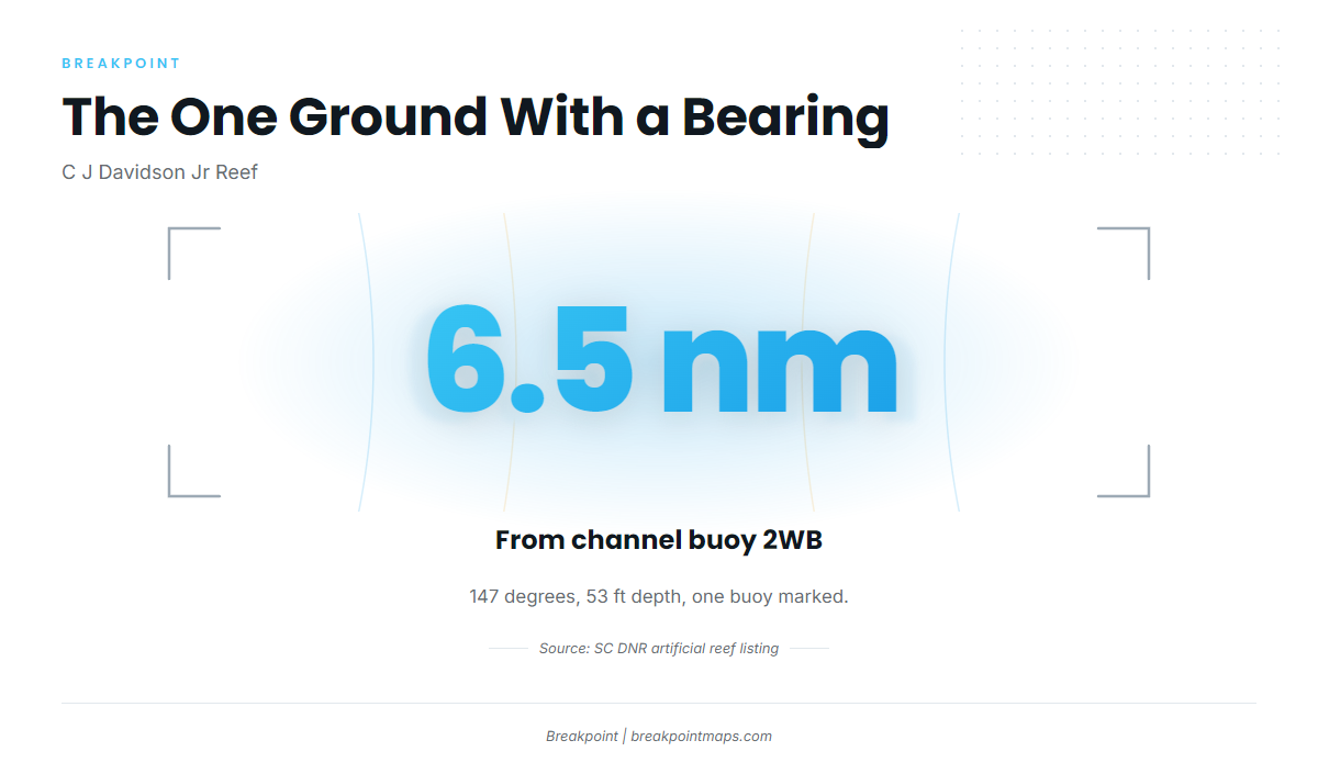
| C J Davidson Jr Reef | 53 | 147 degrees, 6.5 nm from channel buoy 2WB, one buoy marked |
| Cape Romain Reef | 55 | |
| Greenville Reef | 85 | |
| Vermilion Reef | 110 |
C J Davidson Jr Reef
C J Davidson Jr Reef sits in 53 ft, at 147 degrees and 6.5 nm from channel buoy 2WB, with one buoy marked. It is the only ground on this list with a bearing and distance.
Deeper ground: Vermilion and Greenville
Vermilion Reef, at 110 ft, is the deepest named ground on the list. Greenville Reef is next at 85 ft.
Nearshore reefs
The shallower grounds run from 12 to 55 ft:
- Hector Reef, 12 ft
- Georgetown Nearshore Reef, 30 ft
- Georgetown Reef, 35 ft
- North Inlet Reef, 45 ft
- Cape Romain Reef, 55 ft
How it is fished and who fishes it
In season, the fishing here is done by boats and captains willing to make a cold-weather offshore run. That includes charters and owner-operators running their own boats. Methods carry over from our tuna fishing guides.
Reading conditions at NIWS1
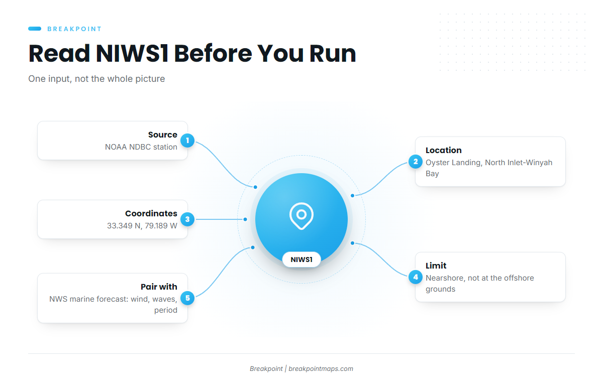
NOAA NDBC publishes station NIWS1, the nearest buoy to read before you run.
Station details and coordinates
- Station: NOAA NDBC NIWS1
- Location: Oyster Landing, North Inlet-Winyah Bay Reserve
- Coordinates: 33.349 N, 79.189 W
What it can and cannot see
NIWS1 sits at Oyster Landing, well away from the offshore grounds, so treat it as one input rather than a report on the water where you’ll fish. Before you run, check the official National Weather Service marine forecast for wind, wave height and period.
FAQ
When is the season for blackfin tuna fishing out of Georgetown?
Late fall or late winter, per the FishingBooker guide. In season, the trip takes a willingness to run offshore in cold weather.
What is the deepest named reef near Georgetown?
Vermilion Reef, at 110 ft. Greenville Reef is next at 85 ft.
Where is C J Davidson Jr Reef?
It lies at 147 degrees and 6.5 nm from channel buoy 2WB, in 53 ft, with one buoy marked.
Which buoy should I check?
NOAA NDBC station NIWS1 at Oyster Landing, 33.349 N, 79.189 W. It is nearshore, so pair it with the National Weather Service marine forecast for wind, wave height and period.
Where are the rules?
The state and federal rules are on the pages linked in the Regulations section above. Check both before fishing.