When blue marlin are off Atlantic City
Blue marlin fishing out of Atlantic City is a canyon game, and August is described as peak marlin season at the canyons. This page covers the timing, the structure on the run out, the local spread, and who runs it. Our blue marlin species guide covers the biology and general tactics.
August at the canyons
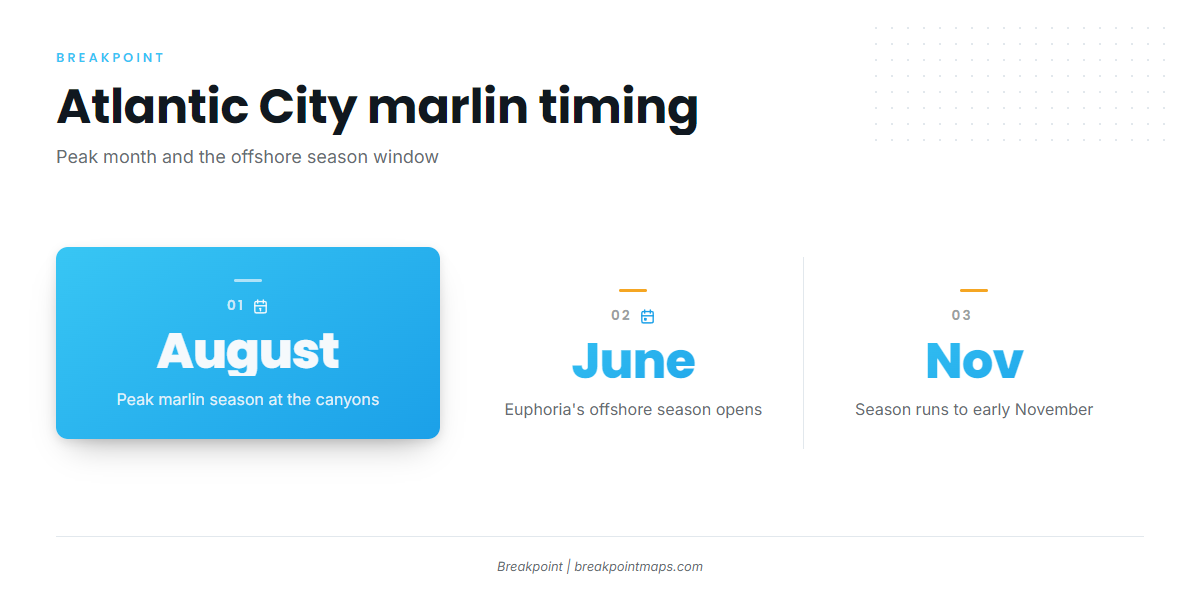
August is described as peak marlin season at the canyons offshore of Atlantic City, so it is the month to commit boat time if you are picking only one.
The offshore season window
Euphoria lists a June to early November offshore season. That is the operator’s offshore window rather than a marlin calendar, so treat it as the outer edge of the season.
- Peak at the canyons: August
- Euphoria’s offshore season: June to early November
Where boats run
Boats run to the canyons offshore of Atlantic City. For the wider canyon picture, see our Northeast Atlantic marlin guide (see also the wider Atlantic Northeast guide).
The canyons
The canyons offshore of Atlantic City are the grounds. Jessie James Charters’ 16-hour trip targets them, and that trip length is the local marker for a full canyon day.
- Where: canyons offshore of Atlantic City
- Trip reference: Jessie James Charters’ 16-hour canyon trip
Reading conditions at the port
The nearest NOAA station is ACYN4 (8534720), Atlantic City, NJ, at 39.357 N, 74.418 W. It sits at Atlantic City itself, so its readings describe the port end of the run and say little about the canyons.
For the run itself, check the official NWS marine forecast and read the wind, wave height and period numbers before you leave the inlet.
Named structure on the run out
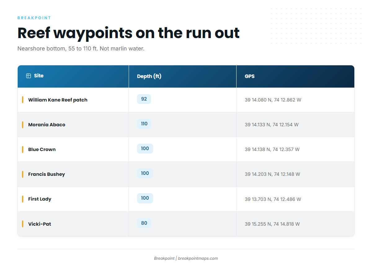
Atlantic City Reef is a New Jersey artificial reef site in 55 ft of water, 12.2 nautical miles east of Atlantic City. Its named wrecks and patches sit in 55 to 110 ft on the route offshore. Boats pass this structure on the way out; it is not where they look for blue marlin.
The Atlantic City port guide carries the inlet, ramp and marina detail.
| Site | Type | Depth (ft) | GPS |
|---|---|---|---|
| William Kane Reef patch | caisson gate, inside Atlantic City Reef | 92 | 39 14.080 N, 74 12.862 W |
| Reina Wreck (tug Tobacco Pointe) | tug | 39 14.0381 N, 74 12.5675 W | |
| Morania Abaco | tanker | 110 | 39 14.133 N, 74 12.154 W |
| Blue Crown | freighter | 100 | 39 14.138 N, 74 12.357 W |
| Francis Bushey | tanker | 100 | 39 14.203 N, 74 12.148 W |
| First Lady | clam dredge | 100 | 39 13.703 N, 74 12.486 W |
| Vicki-Pat | clam dredge | 80 | 39 15.255 N, 74 14.818 W |
Load these coordinates as waypoints in Breakpoint. Chart layers and published coordinates are not for navigation.
How marlin are fished here
The local method is trolling, and the operators name their spread.
Spreader bars and daisy chains
Jessie James Charters’ 16-hour trip description names trolling with spreader bars and daisy chains, which is the spread to expect on a local canyon day. Our billfish guides cover tactics beyond it.
Who fishes them from this port
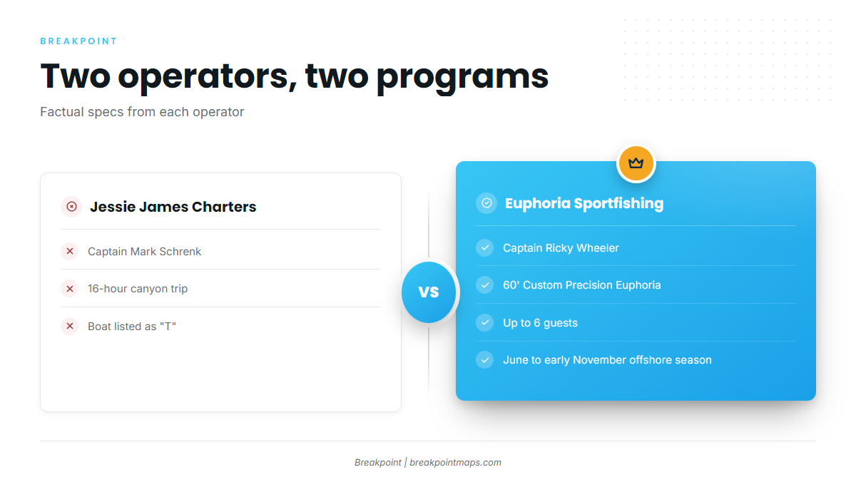
Two local operators list blue marlin.
Jessie James Charters
Captain Mark Schrenk runs the 16-hour canyon trip. The boat for that trip is listed on the Jessie James Charters site as "T."
Euphoria Sportfishing
Captain Ricky Wheeler runs the 60′ Custom Precision Euphoria, which takes up to 6 guests. Euphoria lists a June to early November offshore season. The operator’s site is euphoriasportfishing.com.
- Boat: 60′ Custom Precision Euphoria
- Capacity: up to 6 guests
- Captain: Ricky Wheeler
FAQ: blue marlin out of Atlantic City
When is blue marlin fishing out of Atlantic City at its peak?
August is described as peak marlin season at the canyons offshore of Atlantic City.
What offshore season does Euphoria list?
June to early November, as listed by Euphoria Sportfishing.
Where do boats run for blue marlin from Atlantic City?
To the canyons offshore of Atlantic City. Jessie James Charters’ 16-hour trip targets them.
What spread is used locally?
Trolling with spreader bars and daisy chains, per Jessie James Charters’ 16-hour trip description.
What is the nearest NOAA station?
ACYN4 (8534720) at Atlantic City, 39.357 N, 74.418 W. Its readings cover the port end of the run, not the canyons.