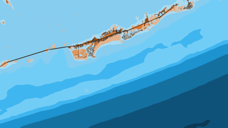

This page covers Marathon, a Middle Keys port, and blue marlin fishing out of Marathon for anglers running their own boat. It lists the named grounds and their depths, from the 480 ft Marathon Hump to the shallow bridge-rubble reefs, so you can decide where to look.
When blue marlin are around Marathon
Blue marlin are a deep-water, pelagic fish, so the search starts with the deep grounds offshore rather than the reef line. Timing and biology are covered in the blue marlin species guide, which is worth reading before you pick a day.
- Start with the deep structure.
- Treat the shallow reefs as landmarks on the way out.
- Plan the trip around the species guide.
Grounds and structure off Marathon
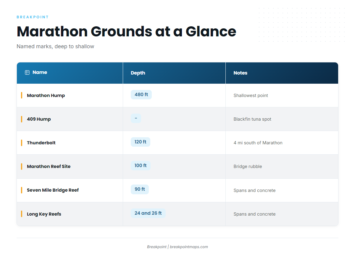
Marathon’s deep target is the Marathon Hump, which tops out at 480 feet. Everything else listed here is shallower, from Thunderbolt at 120 feet down to bridge-rubble reefs at 24 to 100 feet. For the wider deep-water picture, see the Atlantic and Southeast blue marlin guide (see also the Atlantic Southeast offshore fishing guide).
Marathon Hump (Marathon West Hump)
The shallowest point is 480 feet. Also called the Marathon West Hump, it is a deep seamount and the deepest structure on this list.
409 Hump
Also written 408 Hump, this ground is named as a top Middle Keys blackfin tuna spot, so treat it as a blackfin ground.
Thunderbolt
Thunderbolt sits in 120 feet of water, 4 miles south of Marathon and Key Colony Beach. It is the intermediate reference between the shallow reefs and the humps.
Bridge-rubble reefs
These are the port’s artificial structure and serve as landmarks, not as marlin holding water.
- Seven Mile Bridge Reef: 90 feet, bridge spans and concrete.
- Marathon Reef Site: 100 feet, bridge rubble.
- Long Key Reefs: 24 and 26 feet, bridge spans and concrete.
| Name | Depth | Notes |
|---|---|---|
| Marathon Hump (Marathon West Hump) | 480 ft | Shallowest point |
| 409 Hump (408 Hump) | – | Top Middle Keys blackfin tuna spot |
| Thunderbolt | 120 ft | 4 miles south of Marathon and Key Colony Beach |
| Marathon Reef Site | 100 ft | Bridge rubble |
| Seven Mile Bridge Reef | 90 ft | Bridge spans and concrete |
| Long Key Reefs | 24 and 26 ft | Bridge spans and concrete |
You can plot these grounds on the Chart Contours layer in Breakpoint. Chart layers are not for navigation.
How far boats run and where they head
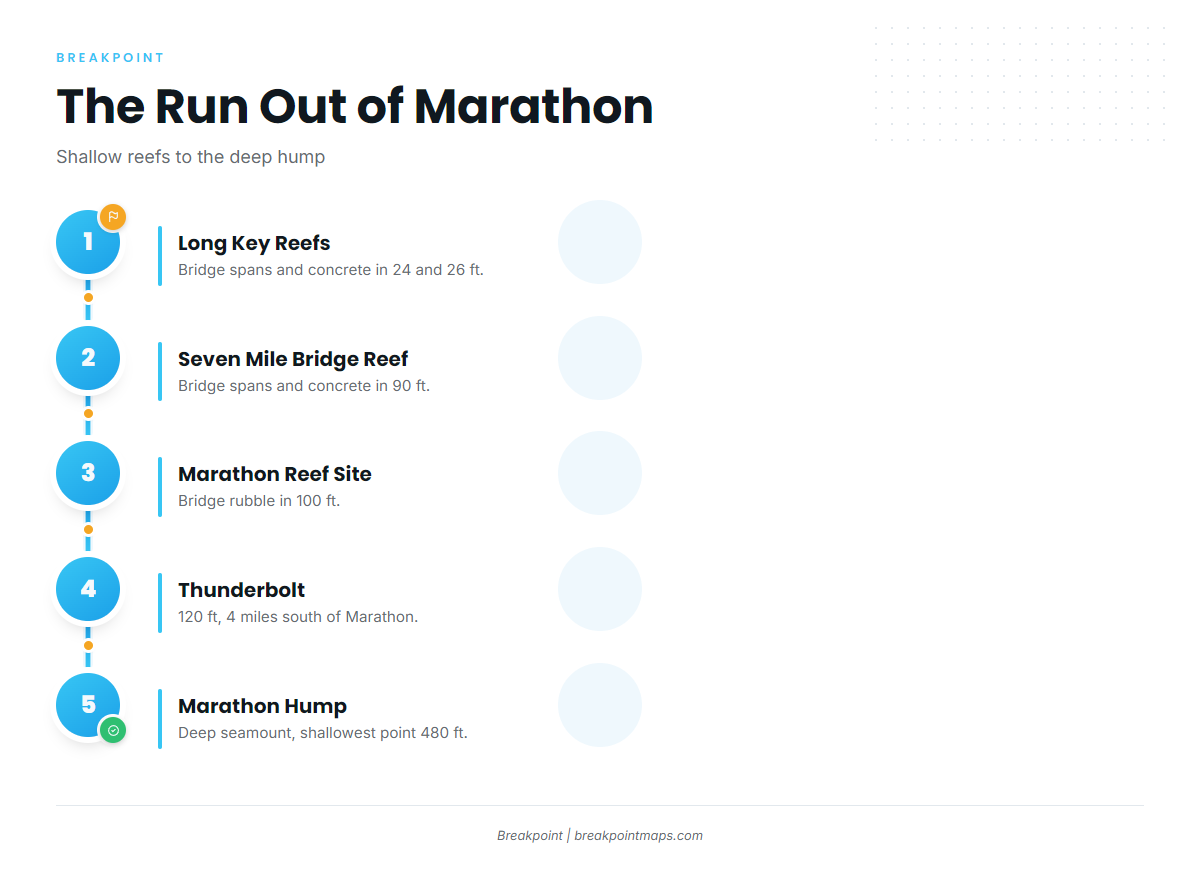
The nearest named offshore mark is Thunderbolt, 4 miles south of Marathon and Key Colony Beach. The humps are the deep targets farther out.
Boats typically work outward in this order:
- The shallow bridge reefs, at 24 to 100 feet.
- Thunderbolt, at 120 feet.
- The humps, with the Marathon Hump at 480 feet at its shallowest.
How it is fished and who fishes it from this port
Private center consoles and the local offshore fleet work the humps, often on blackfin tuna trips. The 409 Hump is the named blackfin spot, and if you already run that ground for tuna, marlin fit into the same water.
For technique, start with the billfish fishing guides.
FAQ about blue marlin fishing out of Marathon
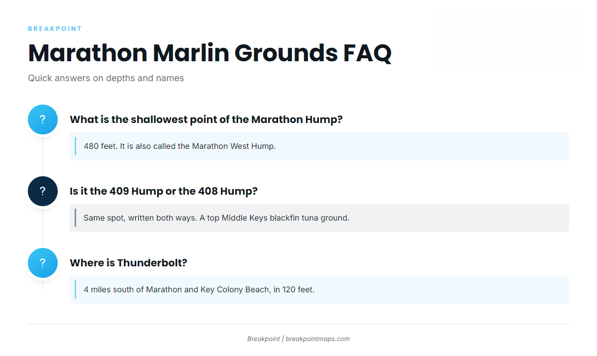
What is the shallowest point of the Marathon Hump?
480 feet. The same ground is also called the Marathon West Hump.
Is it the 409 Hump or the 408 Hump?
It is the same spot, written both ways. It is named as a top Middle Keys blackfin tuna spot.
Where is Thunderbolt?
Thunderbolt is 4 miles south of Marathon and Key Colony Beach, in 120 feet of water.
What depth are the bridge reefs?
Seven Mile Bridge Reef is at 90 feet and Marathon Reef Site is at 100 feet. Long Key Reefs are at 24 and 26 feet.
Where are the rules for blue marlin fishing out of Marathon?
FWC sets the state rules and NOAA Fisheries sets the federal billfish rules. Check both before fishing.