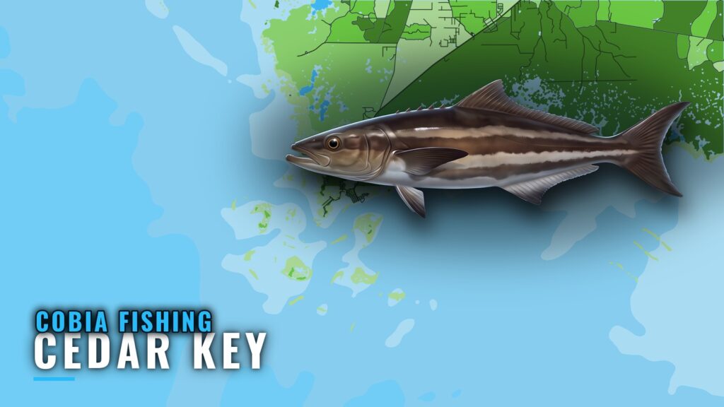
Cobia fishing out of Cedar Key centers on the spring migration and on structure, especially deepwater wrecks 15-25 miles out. This page covers the season, the FWC reef depths and coordinates, and the buoy to read before you leave.
When cobia are around Cedar Key
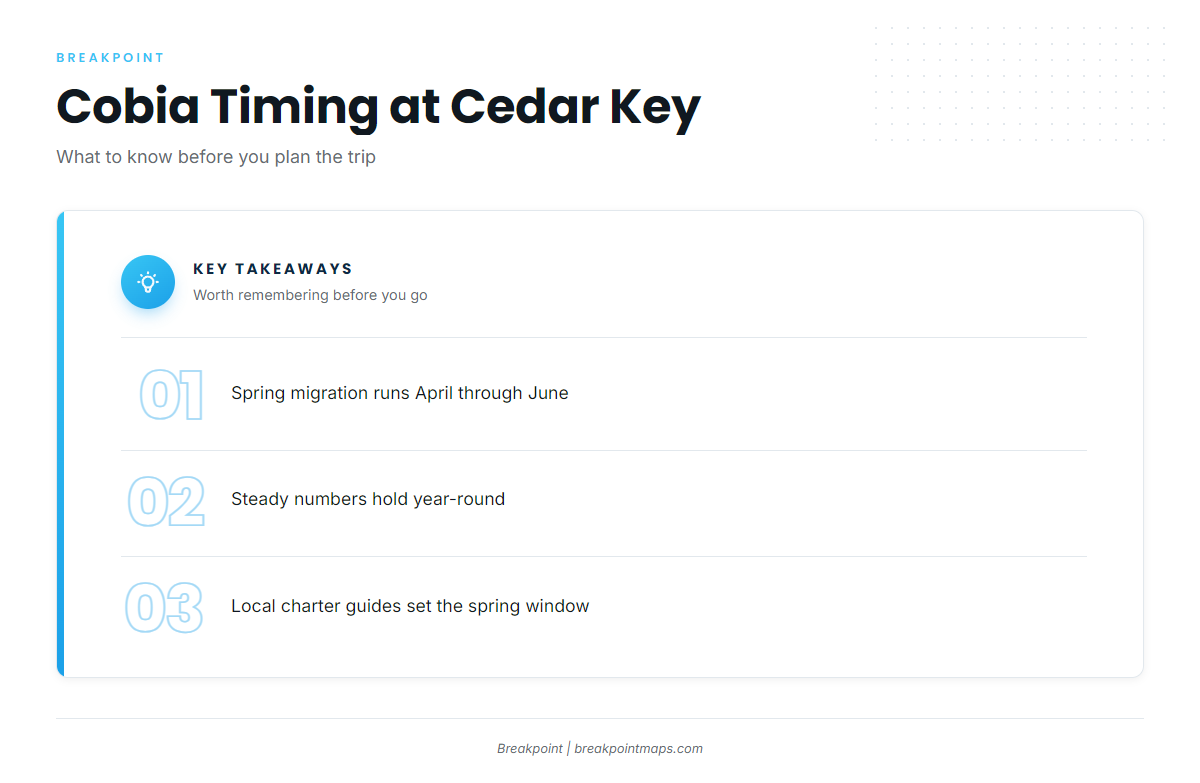
Local charter guides put the spring migration at April through June. Outside that window, cobia hold steady numbers year-round, so a trip to the structure can produce fish in most months.
For how the run moves along the coast, see the Gulf spring run (see also the Gulf of Mexico region guide). This page stays with what happens off Cedar Key.
- Spring migration: April through June
- Rest of the year: steady numbers, year-round
Where boats run and the grounds that hold cobia
Boats out of Cedar Key fish inshore and offshore reefs and wrecks. Local charters concentrate on deepwater wrecks, with offshore spots 15-25 miles out.
Seahorse Reef and Kingfish Hole
Seahorse Reef is a natural sandbar rather than an artificial reef. It sits offshore, a longer run from Cedar Key than the inshore reef sites. Kingfish Hole lies on its northwest side.
FWC artificial reefs
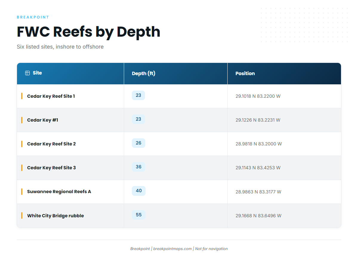
The coordinates below come from the FWC layer and are sorted by depth, shallowest to deepest. White City Bridge rubble is the deepest at 55 ft.
| Site | Structure | Depth (ft) | Latitude | Longitude |
|---|---|---|---|---|
| Cedar Key Reef Site 1 | FWC artificial reef | 23 | 29.1018 N | 83.2200 W |
| Cedar Key #1 | Stone crab modules, 1986 | 23 | 29.1226 N | 83.2231 W |
| Cedar Key Reef Site 2 | Pipe and pyramid loads, 1988-89 | 26 | 28.9818 N | 83.2000 W |
| Cedar Key Reef Site 3 | Pipe loads | 36 | 29.1143 N | 83.4253 W |
| Suwannee Regional Reefs, Site A | Concrete cubes | 40 | 28.9863 N | 83.3177 W |
| White City Bridge rubble | Steel and concrete | 55 | 29.1668 N | 83.6496 W |
Swipe the table sideways to see every column.
Chart layers are not for navigation.
Reading conditions at CDRF1
The nearest station is NOAA NDBC C-MAN station CDRF1 at Cedar Key, at 29.136 N 83.029 W. Check wind, wave height and period there, then read the official NWS coastal waters forecast before you leave the dock.
How cobia are fished out of Cedar Key
Locals fish structure and wrecks from the same 24 ft skiff they use for offshore grouper trips. Cobia is an easy add-on if you already run to the reefs and wrecks for grouper, since both fish share the boat and the structure. For the species side of that pattern, see how cobia relate to structure. If you fish the same ground for other offshore gamefish, the same runs apply.
Who fishes for cobia out of Cedar Key
Two Cedar Key charters list cobia:
- Hookin It Charters and Tours, Capt. Jayson Porter. See the Hookin It Charters listing.
- Saltwater Outlaw Fishing, Capt. Tracy Collins, a fourth-generation Cedar Key native with 34 years on the water. See the Saltwater Outlaw Fishing listing.
Either one can give you a local read on the grounds before you take your own boat out to them.
FAQ about cobia fishing out of Cedar Key
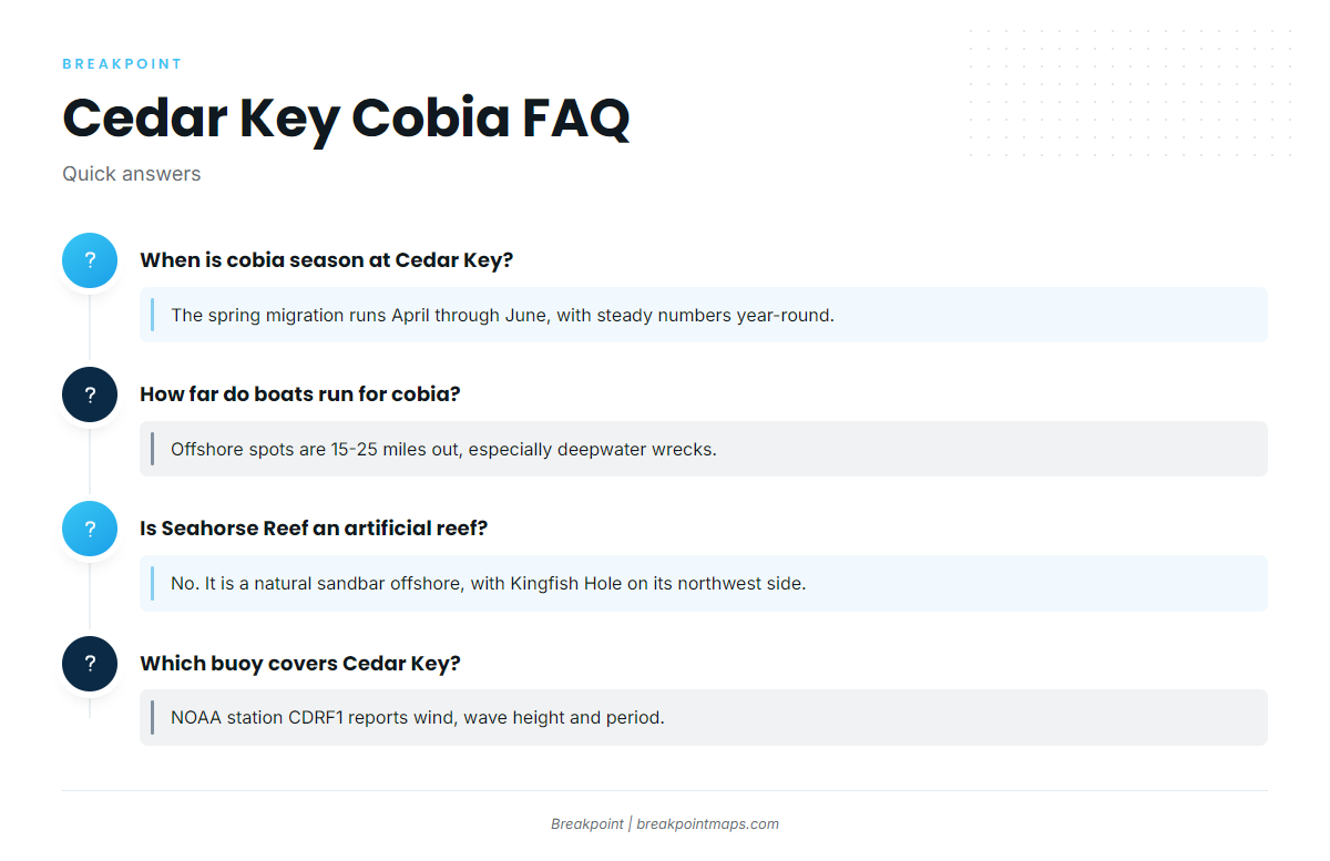
When is cobia season at Cedar Key?
The spring migration runs April through June. Cobia hold steady numbers year-round.
How far do boats run for cobia from Cedar Key?
Boats run to inshore and offshore reefs and wrecks, especially deepwater wrecks. Offshore spots are 15-25 miles out.
Is Seahorse Reef an artificial reef?
No. It is a natural sandbar offshore, and Kingfish Hole lies on its northwest side.
What is the deepest listed structure near Cedar Key?
White City Bridge rubble, steel and concrete, in 55 ft at 29.1668 N 83.6496 W.
What boat do local charters use for cobia?
The same 24 ft skiff they use for offshore grouper.
Which buoy covers Cedar Key?
NOAA NDBC C-MAN station CDRF1, at 29.136 N 83.029 W. It reports wind, wave height and period.