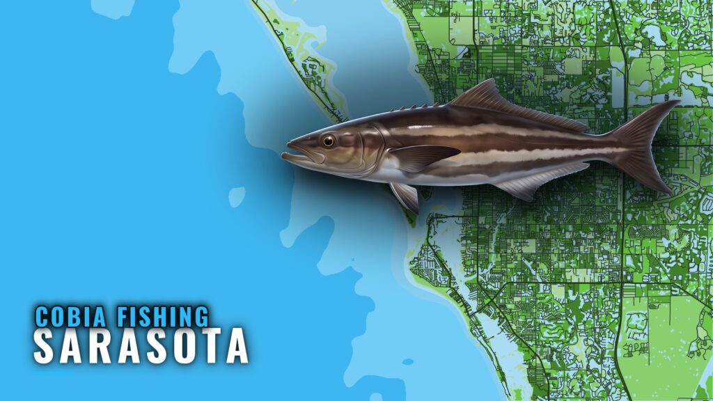
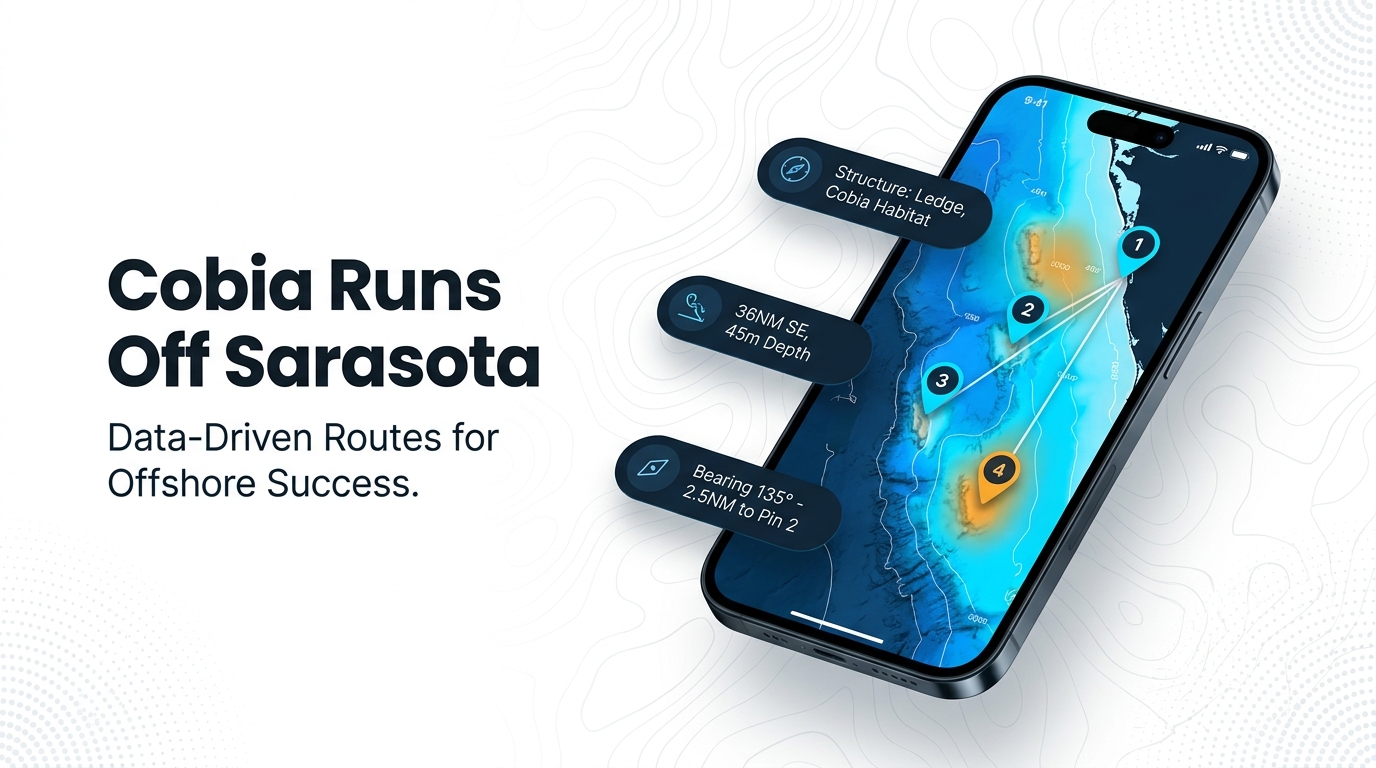
Cobia fishing out of Sarasota starts in March and peaks in April and May, when fish hold on nearshore reefs, markers and rays. This guide covers when they show, how far you run from New Pass, and the depths and bearings of the grounds that hold them. For pass and ramp details, see the Sarasota port guide. We can’t promise fish, but we can help you decide where to look.
When cobia are off Sarasota
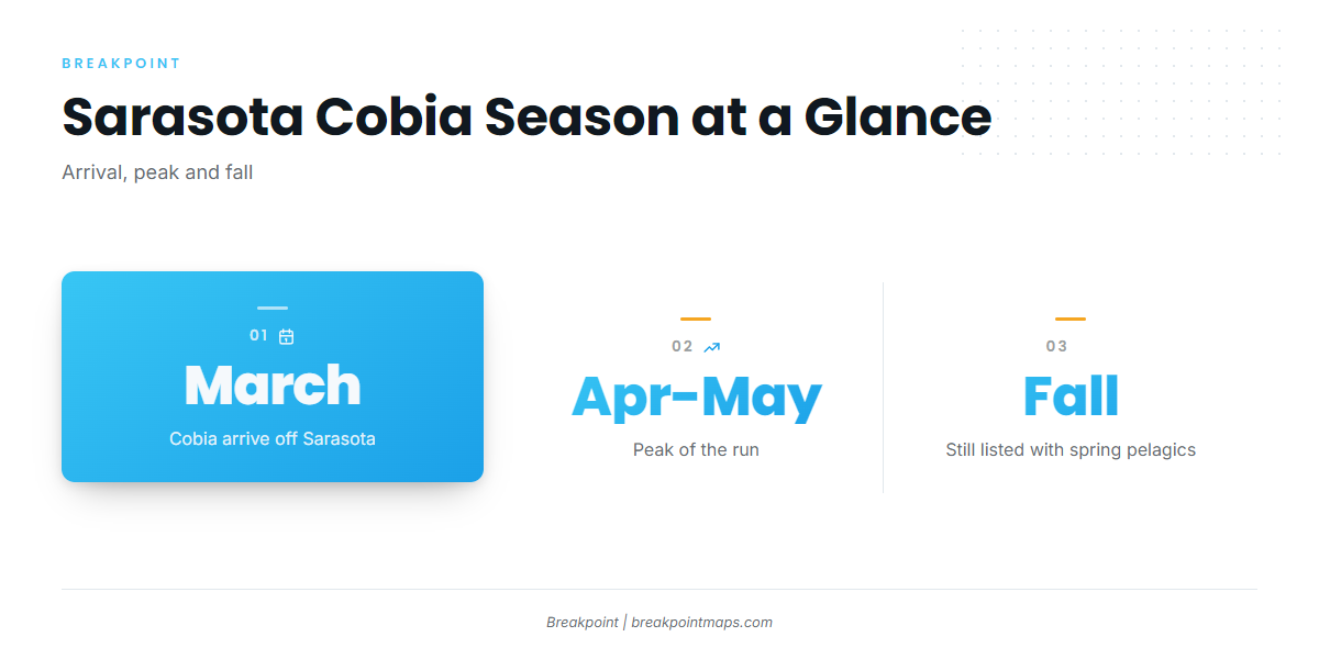
Cobia in Sarasota follow a spring window with a tail into fall. The fish are part of the Gulf-wide run (see also the Gulf of Mexico region guide) that moves along the coast, and they stay on local structure after the peak.
Spring arrival and peak
sarasota.fish puts arrival in March, with the peak in April and May. In that window they work nearshore reefs, markers and rays.
Into fall
FishingBooker lists cobia into fall, among other spring pelagics that stay around after the spring run.
| Window | What the listings say |
|---|---|
| March | Arrival |
| April and May | Peak |
| Into fall | Cobia remain among the spring pelagics |
Where boats run and the grounds that hold fish
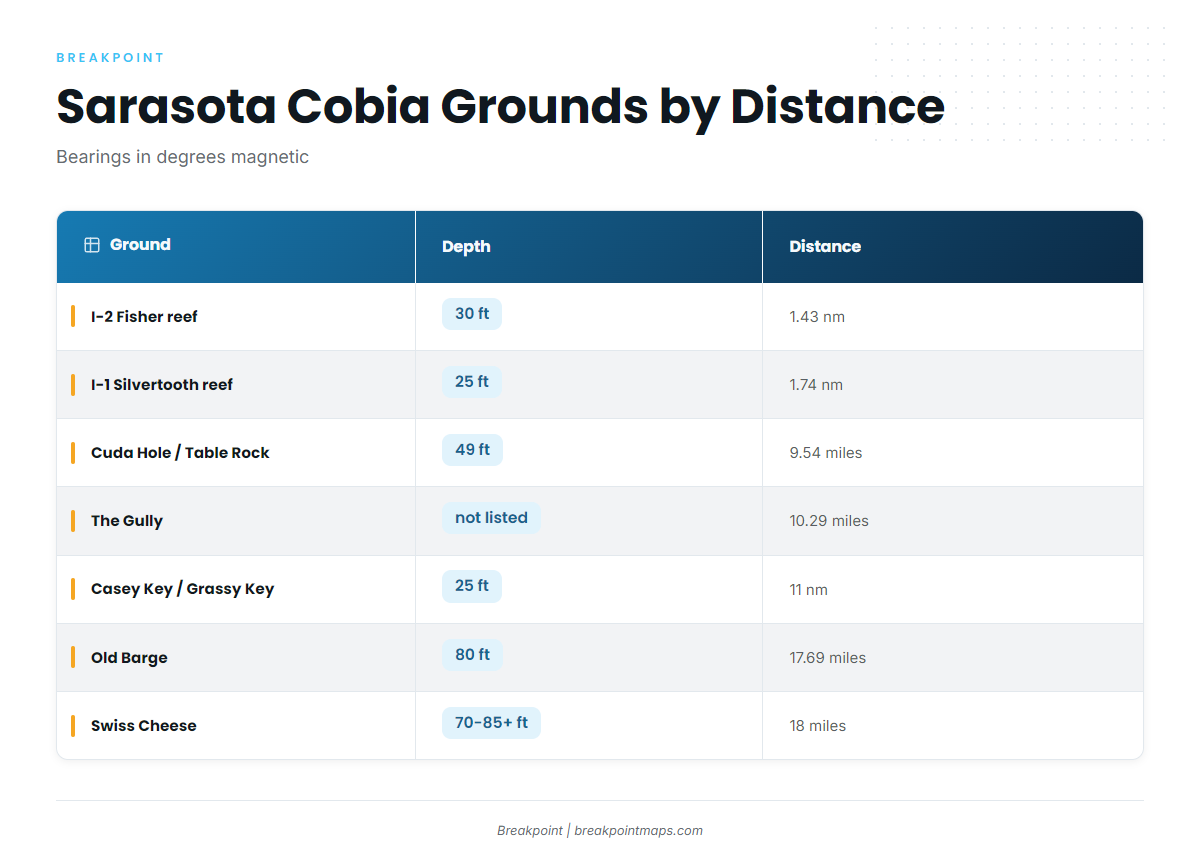
Boats run to nearshore reefs, markers and rays. Longer 10-hour trips out to about 50 miles also list cobia.
All bearings are degrees magnetic. Distances run from New Pass, except Cuda Hole, which runs from the New Pass Gulf marker. Rows run nearest to farthest.
| Ground | Depth | Bearing (magnetic) | Distance | Notes |
|---|---|---|---|---|
| I-2 Fisher reef | 30 ft | 239 degrees | 1.43 nm from New Pass | |
| I-1 Silvertooth reef | 25 ft | 187 degrees | 1.74 nm from New Pass | |
| Point of Rocks (Siesta Key) | not listed | not listed | Off Siesta Key beach | |
| Cuda Hole / Table Rock ledge | 49 ft | 246 degrees | 9.54 miles from New Pass Gulf marker | |
| The Gully | not listed | 259 degrees | 10.29 miles from New Pass | |
| Casey Key Beach / Grassy Key ledges | 25 ft | 152 degrees | 11 nm | 5-8 ft ledges; runs south |
| Old Barge | 80 ft | 249.6 degrees | 17.69 miles from New Pass | |
| Swiss Cheese | 70-85+ ft | About 250 degrees | 18 miles from New Pass |
Swipe the table sideways to see every column.
The run bands at a glance:
- Inside 2 nm: I-2 Fisher, I-1 Silvertooth and Point of Rocks
- 9 to 11 miles: Cuda Hole / Table Rock, The Gully and the Casey Key ledges
- 17 to 18 miles: Old Barge and Swiss Cheese
- About 50 miles: the 10-hour trips
Inside 2 nm: I-1 Silvertooth, I-2 Fisher, Point of Rocks
I-2 Fisher sits in 30 ft, 1.43 nm from New Pass at 239 degrees magnetic. I-1 Silvertooth sits in 25 ft, 1.74 nm out at 187 degrees magnetic. Point of Rocks lies off Siesta Key beach. This is the nearshore water where the local method is used.
9 to 11 miles: Cuda Hole / Table Rock, The Gully, Casey Key / Grassy Key ledges
Cuda Hole / Table Rock ledge is in 49 ft, at 246 degrees magnetic and 9.54 miles from the New Pass Gulf marker, so measure that one from the marker rather than the pass. The Gully lists only a bearing and distance: 259 degrees magnetic, 10.29 miles from New Pass. Casey Key Beach / Grassy Key ledges are the southern option, in 25 ft with 5-8 ft ledges, 11 nm out at 152 degrees magnetic.
17 to 18 miles: Old Barge, Swiss Cheese
Old Barge is in 80 ft at 249.6 degrees magnetic, 17.69 miles from New Pass. Swiss Cheese is in 70-85+ ft at about 250 degrees magnetic, 18 miles from New Pass. The two sit on nearly the same line.
Longer runs to about 50 miles
The 10-hour trips out to about 50 miles also list cobia.
Before you run
Chart layers are not for navigation. For wind, wave height and period, read NDBC C-MAN VENF1 at Venice, at 27.072 N 82.453 W. It is the nearest NDBC station we could open. Check the official forecast before you go as well.
How cobia are fished here
Local anglers fish cobia visually, working the same nearshore structure the fish favor.
Sight-casting reefs, markers and rays
Locally, cobia are fished by sight-casting around nearshore reefs, markers and rays. You look for the fish, then put the cast in front of it. For rigging and behavior, see the cobia species guide.
Who fishes for cobia out of Sarasota
These local charters list cobia.
Sarasota Offshore Fishing Charters
FISH TALES is a 2001 Luhrs 40 ft sportfisher. Captain Tyler is named on the operator’s FAQ. Site: sarasotaoffshorefishingcharters.com.
Gulfcoast Offshore Ventures
Capt. Tim Noe runs a 42 ft Freeman out of Siesta Key. See the Gulfcoast Offshore Ventures charter site.
Sarasota Bay Fishing Charters
Capt. Tony Blizzard works from Ken Thompson Pkwy Dock 3. Site: sarasota-fla-fishing.com.
FAQ: cobia fishing out of Sarasota
When do cobia show up off Sarasota?
Cobia arrive off Sarasota in March and peak in April and May, according to sarasota.fish. FishingBooker lists cobia among the spring pelagics that stay into fall.
How far do I run from New Pass?
Structure runs from under 2 nm out to 17 to 18 miles. The bands are inside 2 nm, 9 to 11 miles, and 17 to 18 miles. The 10-hour trips go out to about 50 miles.
What is the closest structure to New Pass?
I-2 Fisher is closest, at 1.43 nm, 239 degrees magnetic, in 30 ft. Next is I-1 Silvertooth, at 1.74 nm, 187 degrees magnetic, in 25 ft.
How are cobia fished locally?
Locally, cobia are fished by sight-casting around nearshore reefs, markers and rays.
Where do I check conditions before running?
Read NDBC C-MAN VENF1 at Venice (27.072 N 82.453 W) for wind, wave height and period. Then check the official forecast before you run.