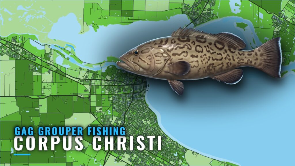
Gag grouper off Corpus Christi
Gag grouper fishing out of Corpus Christi is part of a reef-fish trip rather than a stand-alone fishery. Gag come up on the same offshore bottom stops as other reef species, and the grounds run from a state-water reef to banks and rigs far offshore. This page orders them by distance, with the depths and distances that exist, so you can plan fuel and the day. For the whole coast, see the Gulf of Mexico fishing guide.
When the fish are here
Gag are taken alongside other offshore reef species on bottom trips from this port. For timing, habitat and biology, read the gag grouper guide.
Who fishes for them
Private boaters and other offshore anglers work reef structure for gag out of this port.
How far boats run
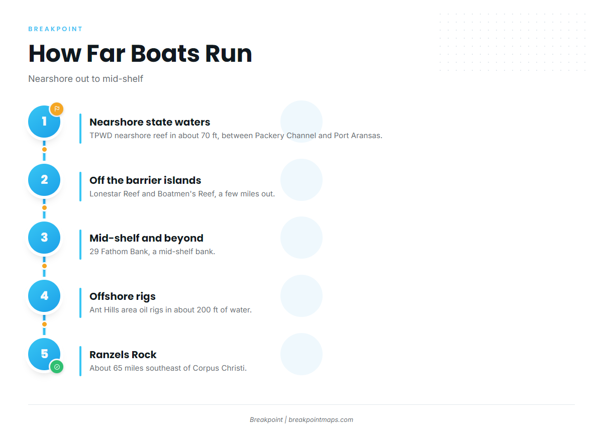
Grounds stack outward from the barrier islands. Check the official marine forecast for wind, wave height and period before the run.
Nearshore state waters
The TPWD nearshore reef sits in state waters between Packery Channel and Port Aransas, in about 70 ft of water. Packery Channel and Port Aransas are locators here, not run guidance.
Off the barrier islands
Lonestar Reef and Boatmen’s Reef lie a few miles out from the barrier islands.
Mid-shelf and beyond
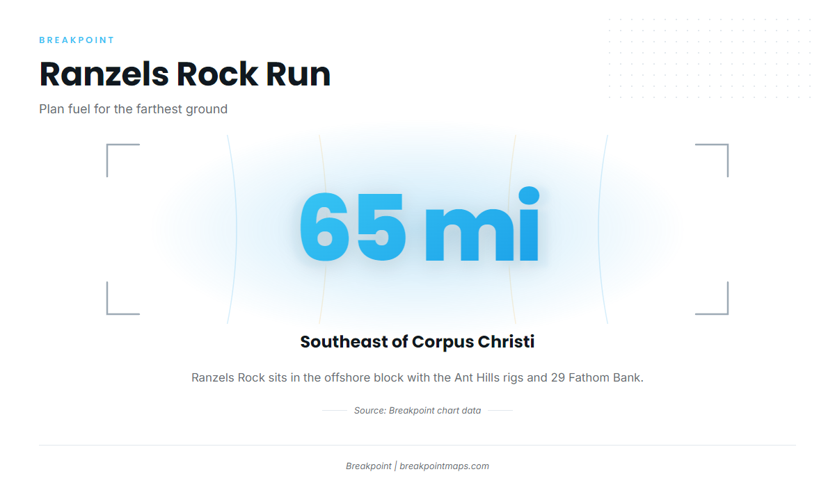
Three grounds make up the offshore block:
- Ranzels Rock: about 65 miles southeast of Corpus Christi.
- Ant Hills area oil rigs: fished in about 200 ft of water.
- 29 Fathom Bank: a mid-shelf bank.
Grouper grounds and structure
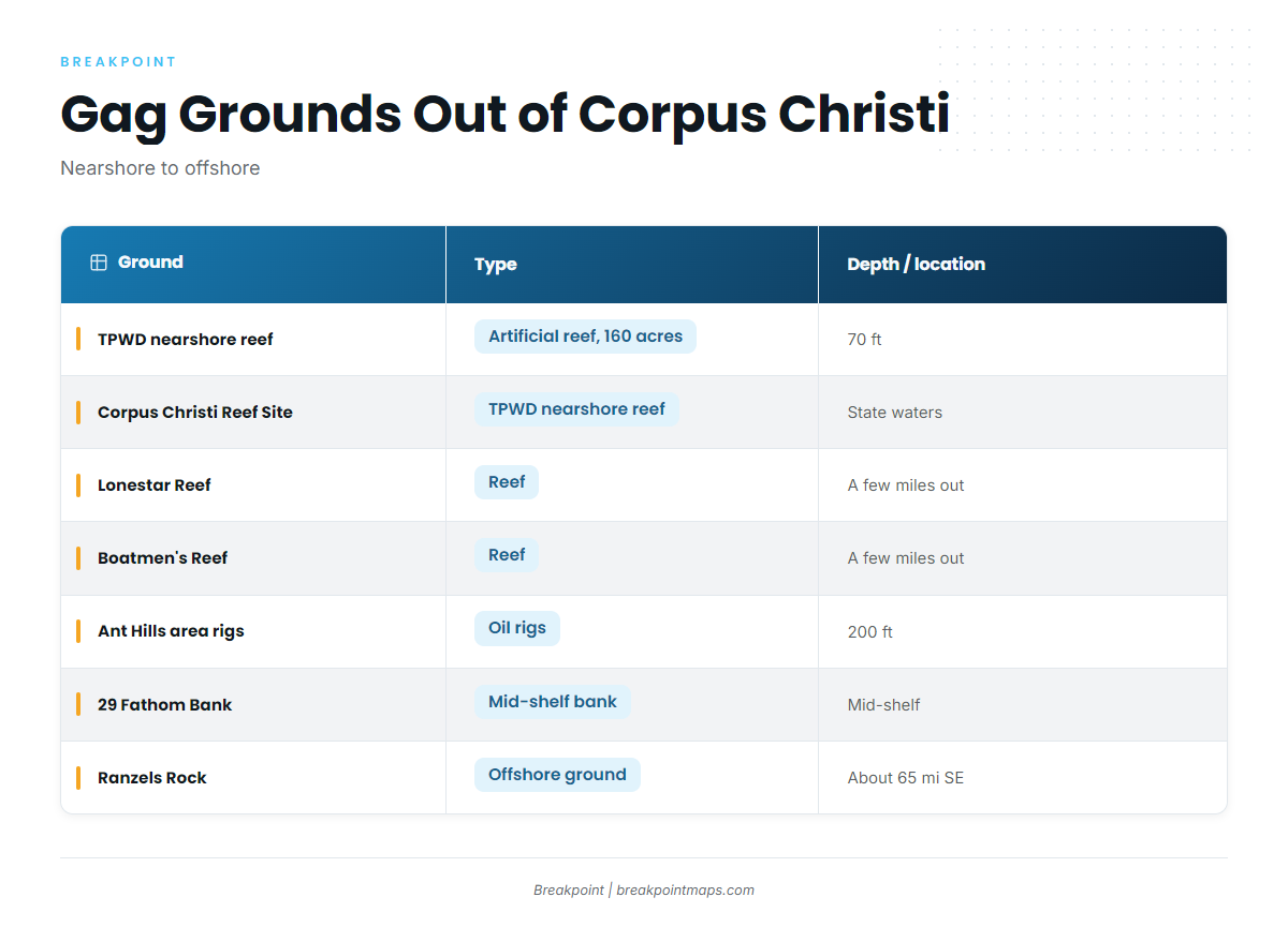
The table lists each ground by type, depth and location. A blank cell means there is no figure to report.
| Ground | Type | Depth | Distance/location |
|---|---|---|---|
| TPWD nearshore reef | Artificial reef, 160 acres | 70 ft | State waters between Packery Channel and Port Aransas |
| Corpus Christi Reef Site | TPWD nearshore reef | ||
| Lonestar Reef | Reef | A few miles out from the barrier islands | |
| Boatmen’s Reef | Reef | A few miles out from the barrier islands | |
| Mustang Island-775 | Backup spot | ||
| Ant Hills area oil rigs | Oil rigs | 200 ft | |
| 29 Fathom Bank | Mid-shelf bank | ||
| Ranzels Rock | About 65 miles southeast of Corpus Christi |
TPWD nearshore reef
The TPWD nearshore reef covers 160 acres in about 70 ft of water, in state waters between Packery Channel and Port Aransas. It belongs to the TPWD artificial reef program.
Corpus Christi Reef Site
A TPWD nearshore reef.
Lonestar Reef
A reef a few miles out from the barrier islands.
Boatmen’s Reef
A reef a few miles out from the barrier islands.
Mustang Island-775
A backup spot.
Ant Hills area oil rigs
Oil rigs fished in about 200 ft of water.
29 Fathom Bank
A mid-shelf bank.
Ranzels Rock
About 65 miles southeast of Corpus Christi.
You can plot these grounds on the Chart Contours layer to plan the run. Chart layers are not for navigation.
How gag are fished here
Gag are part of offshore bottom fishing for reef fish, one species among others boats target on the same structure. For rigging and technique on mixed trips, see the reef fish guides.
FAQ: gag grouper fishing out of Corpus Christi
How far is Ranzels Rock from Corpus Christi?
About 65 miles southeast. It is part of the offshore block with the Ant Hills rigs and 29 Fathom Bank.
How deep are the Ant Hills rigs?
The oil rigs are fished in about 200 ft of water.
What is the TPWD nearshore reef?
It is a 160-acre reef in about 70 ft, in state waters between Packery Channel and Port Aransas.
Which reefs sit closest to the barrier islands?
Lonestar Reef and Boatmen’s Reef, a few miles out. The TPWD nearshore reef and Corpus Christi Reef Site are also nearshore.
Where do I find the rules for gag?
Check TPWD for state waters and NOAA Fisheries and the Gulf Council for grounds farther out. The Regulations section above points to both.