Where Boynton Beach boats run for greater amberjack
Greater amberjack fishing out of Boynton Beach centers on the reefs and wrecks offshore of the port. This page covers the named structure, its depths and the methods local boats use. The wider picture is in the greater amberjack fishing in the Atlantic Southeast and the Atlantic Southeast fishing guide.
The run
Boats leave Boynton Inlet and run to reefs and wrecks offshore of Boynton Beach. Inlet, ramp and conditions detail are on the Boynton Beach port page. Check the official coastal waters forecast before the run.
Timing
Seasonal behavior and biology are covered in the greater amberjack species guide.
The grounds and structure
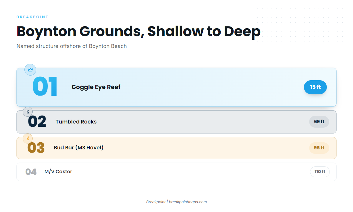
Five named grounds sit near Boynton Beach, listed here from shallow to deep where a depth is published.
| Ground | Depth | Location note |
|---|---|---|
| Goggle Eye Reef | 15 ft | |
| Tumbled Rocks | 69 ft | About 1 mile off Gulfstream, close to Boynton Inlet |
| Boynton Ledge | ||
| Bud Bar (MS Havel) | 95 ft | 26°28.70’N, 80°02.31’W |
| M/V Castor | 110 ft | Off the southern coast of Boynton Beach |
Depths and coordinates here are for planning only. The chart layers are not for navigation, so check the official chart and the NOAA Coast Pilot chapter before running.
Goggle Eye Reef
Goggle Eye Reef sits in 15 ft, the shallowest named ground on the list.
Tumbled Rocks
Tumbled Rocks sits in 69 ft, about 1 mile off Gulfstream and close to Boynton Inlet.
Boynton Ledge
Boynton Ledge is a named ledge off Boynton Beach. No depth is published.
Bud Bar (MS Havel)
Bud Bar (MS Havel) is a wreck in 95 ft at 26°28.70’N, 80°02.31’W. It is the only ground on this page with published coordinates.
M/V Castor
M/V Castor lies in 110 ft off the southern coast of Boynton Beach. It is the deepest named wreck on the list.
How amberjack are fished here
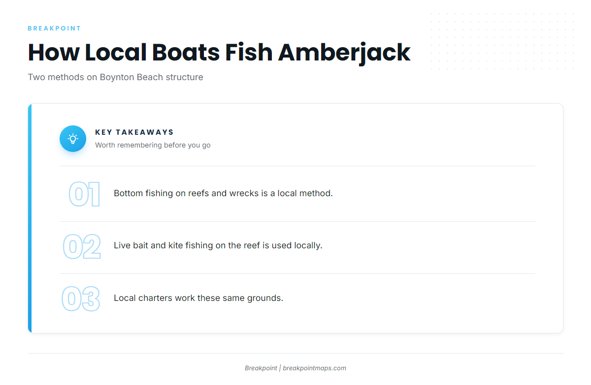
Local boats use two approaches on this structure.
Bottom fishing reefs and wrecks
Cool Runnings lists bottom fishing on reefs and wrecks as a local method. General technique and the regional picture are in the reef fish guides.
Live bait and kite fishing on the reef
Outfront’s 6-hour trip lists live bait and kite fishing on the reef, and local boats use the method.
Who fishes them out of Boynton Beach
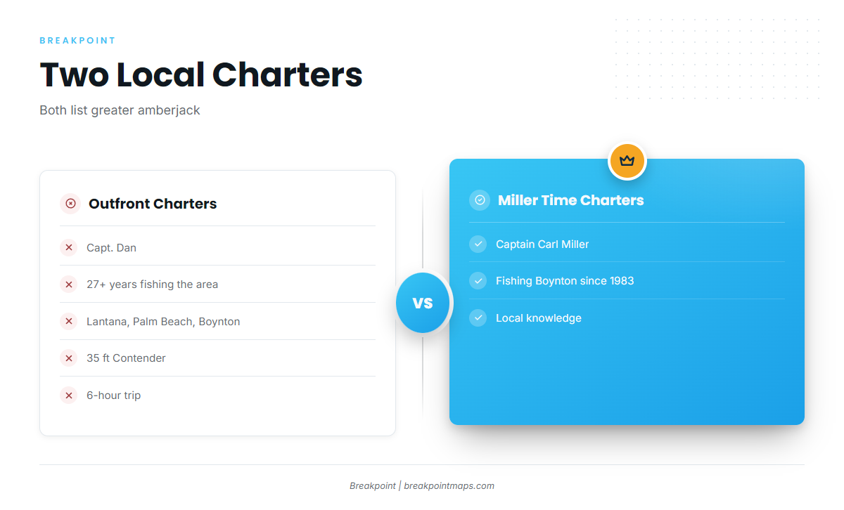
Two local charters list greater amberjack.
Outfront Charters
Outfront Charters runs a 35 ft Contender with Capt. Dan, who has 27+ years fishing Lantana, Palm Beach and Boynton. The 6-hour trip is the one that lists live bait and kite fishing on the reef.
Miller Time Fishing Charters
Miller Time Fishing Charters is run by Captain Carl Miller, who has been fishing Boynton since 1983.
FAQ: greater amberjack out of Boynton Beach
Where do boats run for greater amberjack out of Boynton Beach?
Boats run to the reefs and wrecks offshore of the port. Named structure includes Tumbled Rocks, Bud Bar (MS Havel) and M/V Castor.
What is the deepest named wreck off Boynton Beach?
M/V Castor, in 110 ft off the southern coast of Boynton Beach.
What are the Bud Bar coordinates?
Bud Bar (MS Havel) sits in 95 ft at 26°28.70’N, 80°02.31’W. These are for planning, so check the official chart.
How do local boats fish for amberjack here?
Bottom fishing on reefs and wrecks, and live bait and kite fishing on the reef.
Where are the amberjack rules for Boynton Beach?
The FWC sets Florida’s rules, so check them before fishing. Boynton Beach fishes Atlantic water, so Gulf closures and limits do not apply.