
About Boynton Beach
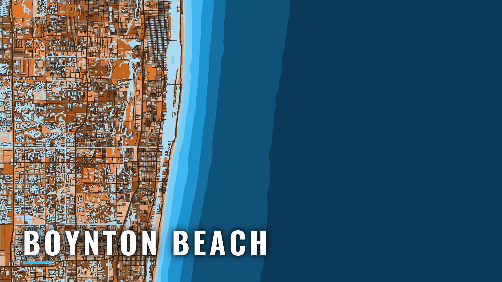
Boats from Boynton Beach reach the Atlantic through Boynton Inlet, a jettied cut at the south end of Lake Worth Lagoon, and the Gulf Stream is reported only a few miles outside. The NOAA Coast Pilot also lists the inlet as South Lake Worth Inlet, and the Intracoastal Waterway is the inside route to it. Something tends to show year-round, with sailfish, mahi, kingfish, wahoo, cobia and blackfin tuna the main targets. Boynton Beach fishes the same Gulf Stream edge covered in our Atlantic Southeast guide. Rules are on our Florida page, and you should check FWC’s saltwater rules before you fish. Species detail is in the species guides.
Access and navigation
You launch inside the lagoon, run the Intracoastal to the inlet, and cross the bar. Each step has its own limits.
Ramp and marina list
- Harvey E. Oyer Jr. Park Boat RampCity of Boynton Beach public ramp beside the inlet
- Boynton Harbor Marinafuel, half a mile south of the inlet
Inlet behavior
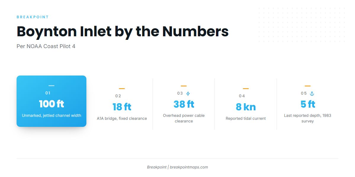
Boynton Inlet is a jettied, unmarked channel about 100 feet wide. The State Road A1A bridge over the inlet is fixed at 18 feet, and the NOAA Coast Pilot 4 chapter gives an overhead power cable at the bridge at 38 feet. Check your T-top, tower and antenna height before you commit.
Tidal currents are reported to reach 8 knots. The Coast Pilot reports a strong undertow on the ebb and eddies on both flood and ebb. Breaking, confused seas are reported between the bridge and the mouth unless the sea is flat, and an easterly wind is reported to stand breakers across the entrance. The ebb with an east wind tends to set up the worst of it.
Shoaling is reported from about 100 yards south of the end of the north jetty, extending south. Submerged rocks are reported 15 feet east of the end of the south jetty. A concrete ledge along both jetties, east of the A1A bridge, sits just below the surface at high tide. The last reported controlling depth over the bar is 5 feet, from a 1983 survey. The bar may have changed since then, and the survey gives no indication of how.
Alternative approach
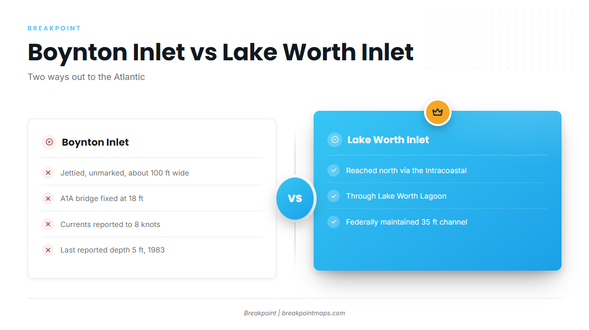
Lake Worth Inlet is reached by running north up the Intracoastal Waterway through Lake Worth Lagoon. The Coast Pilot describes a federally maintained 35-foot entrance channel there. Hillsboro Inlet lies farther south.
Arrival check
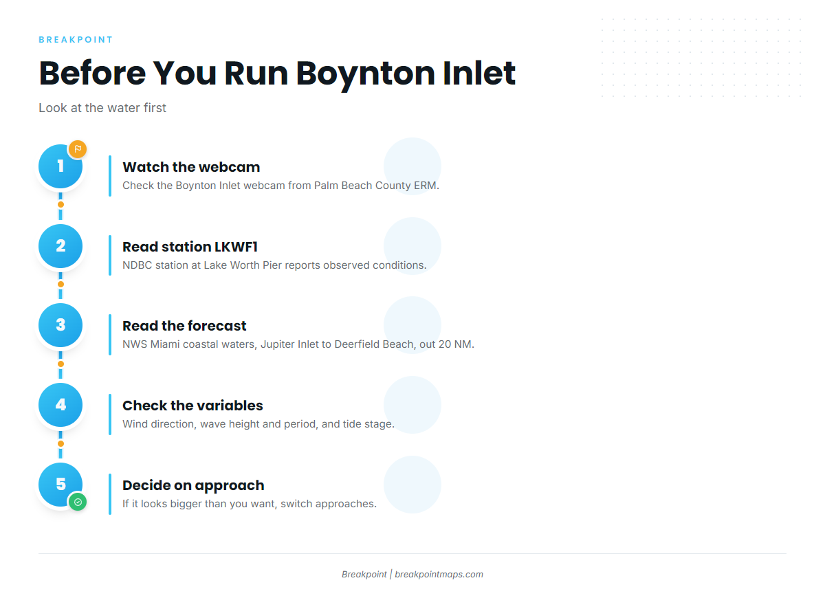
Look at the water when you get there. Four checks help:
- The Boynton Inlet webcam from Palm Beach County ERM
- NDBC station LKWF1 at Lake Worth Pier
- The Jupiter to Deerfield coastal forecast from NWS Miami, out 20 NM
- Wind direction, wave height and period, and the tide stage
If conditions look bigger than you want, use another inlet.
Fishing conditions
Close to the beach, Goggle Eye Reef, an artificial reef off Boynton Inlet, holds bottom. Outside it runs the natural reef line, and a few miles out sits the Gulf Stream edge. The edge position and bottom contours are visible in the OBS SST and Chart Contours layers in Breakpoint, though chart layers are not for navigation.
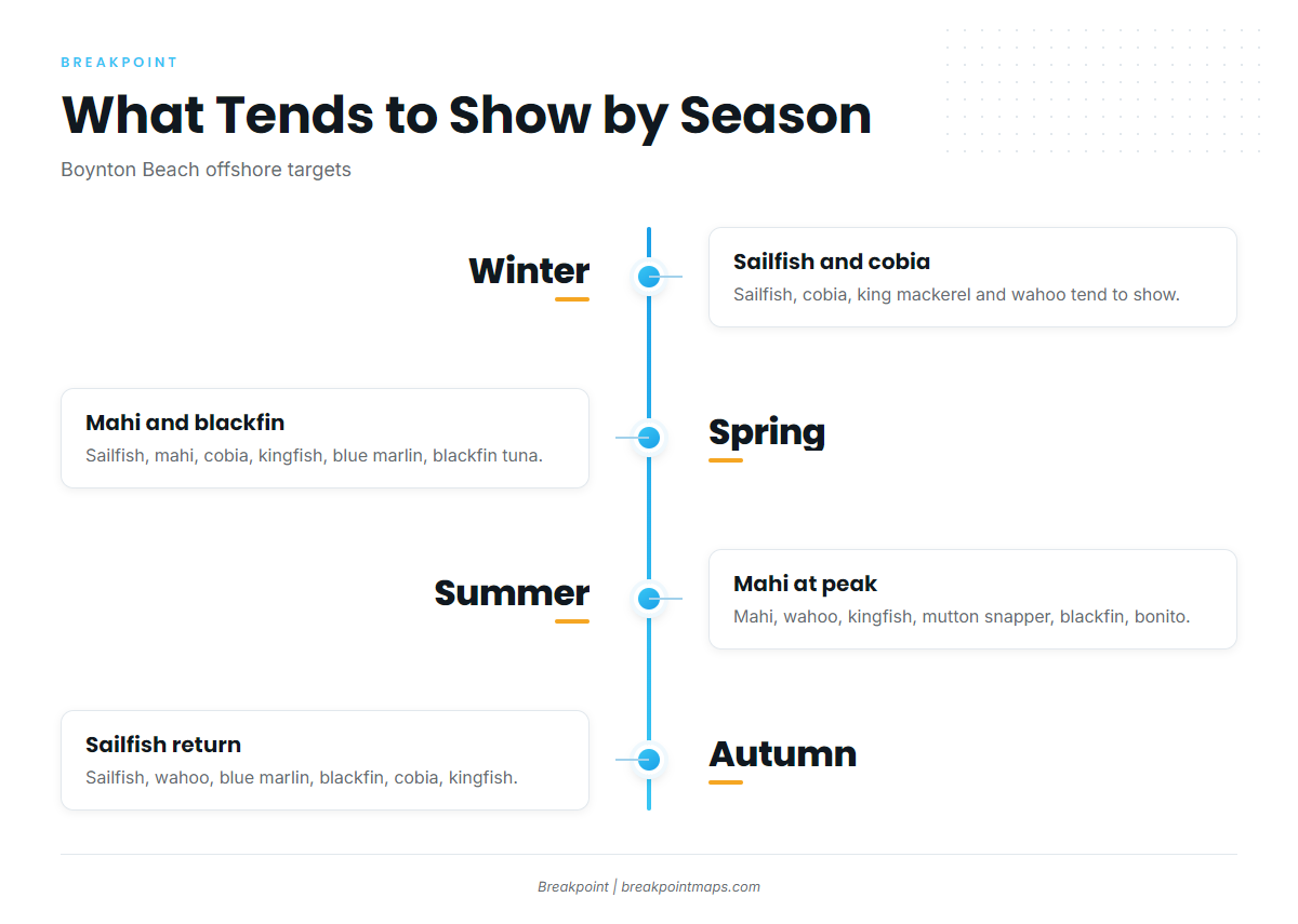
Winter
Sailfish, cobia, king mackerel and wahoo tend to show. Our sailfish guide covers the fish itself. The Gulf Stream edge is the place to start looking.
Spring
Sailfish, mahi, cobia, kingfish, blue marlin and blackfin tuna tend to show. Our mahi guide covers how to find and work them. Blue water close to the beach keeps the run short.
Summer
Mahi are at their peak, along with wahoo, kingfish, mutton snapper, blackfin tuna and bonito. Our regional guide covers the mahi peak along this coast. Reef fish and pelagics both fit the same trip.
Autumn
Sailfish return, along with wahoo, blue marlin, blackfin tuna, cobia and kingfish. See the sailfish return in the Atlantic Southeast for how the season builds along this coast.