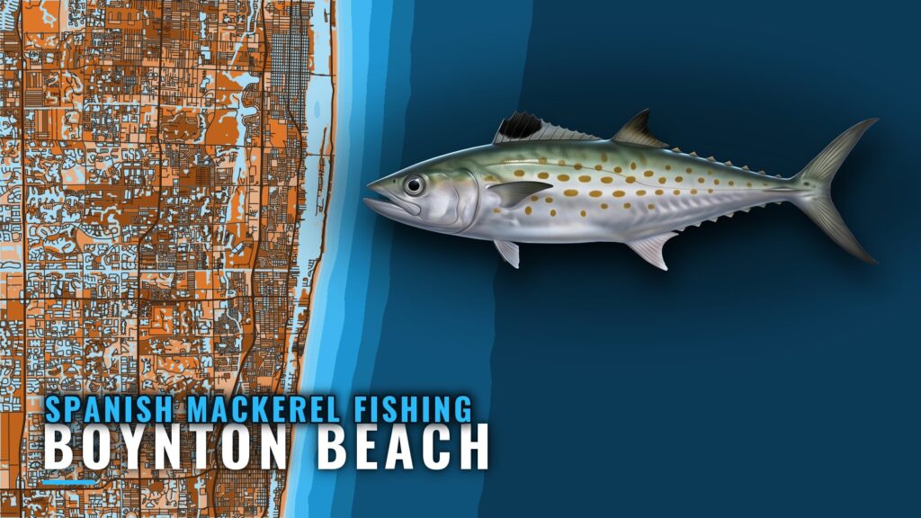
Spanish mackerel fishing out of Boynton Beach
Spanish mackerel trips out of Boynton Beach are offshore trolling runs through Boynton Inlet onto named reef, ledge and wreck structure in Palm Beach County, in 15 ft to 110 ft of water. For when the fish move along this coast, see the Spanish mackerel guide. For the wider migration picture, see the Atlantic Southeast Spanish mackerel guide (see also the wider Atlantic Southeast guide).
Where boats run from Boynton Inlet
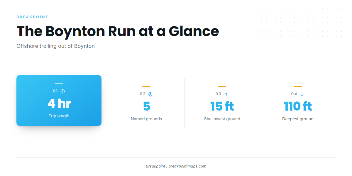
For inlet, ramp and conditions detail, start with the Boynton Beach port guide. Boats here run offshore trolling trips built around a 4-hour trip, the length Outfront Charters runs. The named grounds below all fit inside that frame, from 15 ft to 110 ft, so a center console can work more than one of them in a morning. Before you run, check the official forecast numbers for wind, wave height and period through the port guide.
Grounds and structure off Boynton Beach
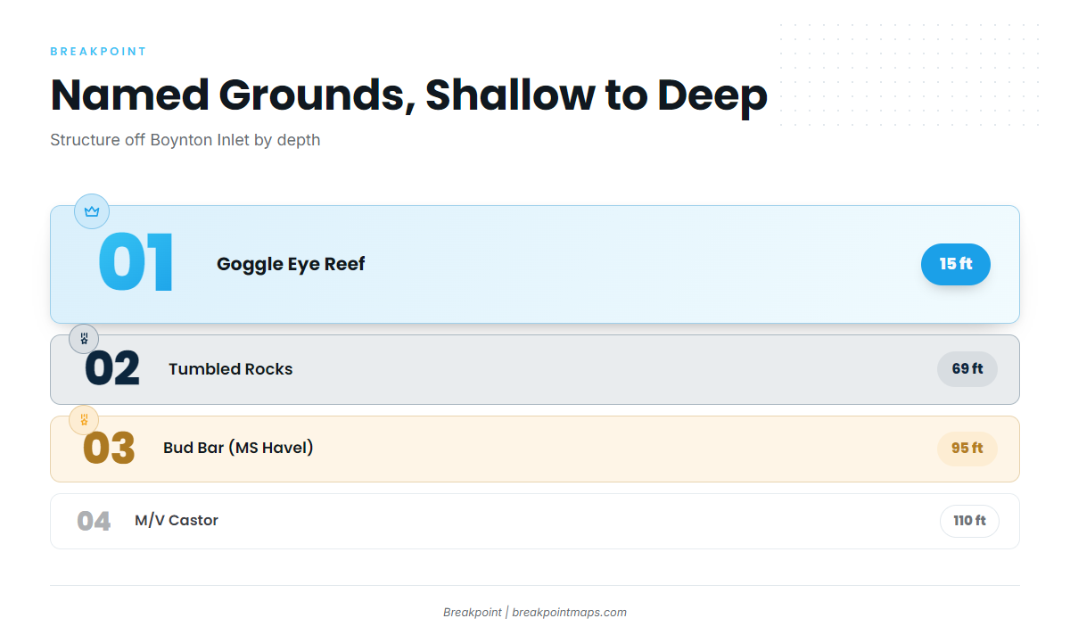
The named grounds below run shallow to deep, with the numbers available for each. Each is a place worth checking, not a promise of fish. The Castor and the Havel are wrecks; the other sites are artificial reef and natural structure.
Goggle Eye Reef
Goggle Eye Reef sits in 15 ft, the shallowest named structure on this list.
Tumbled Rocks
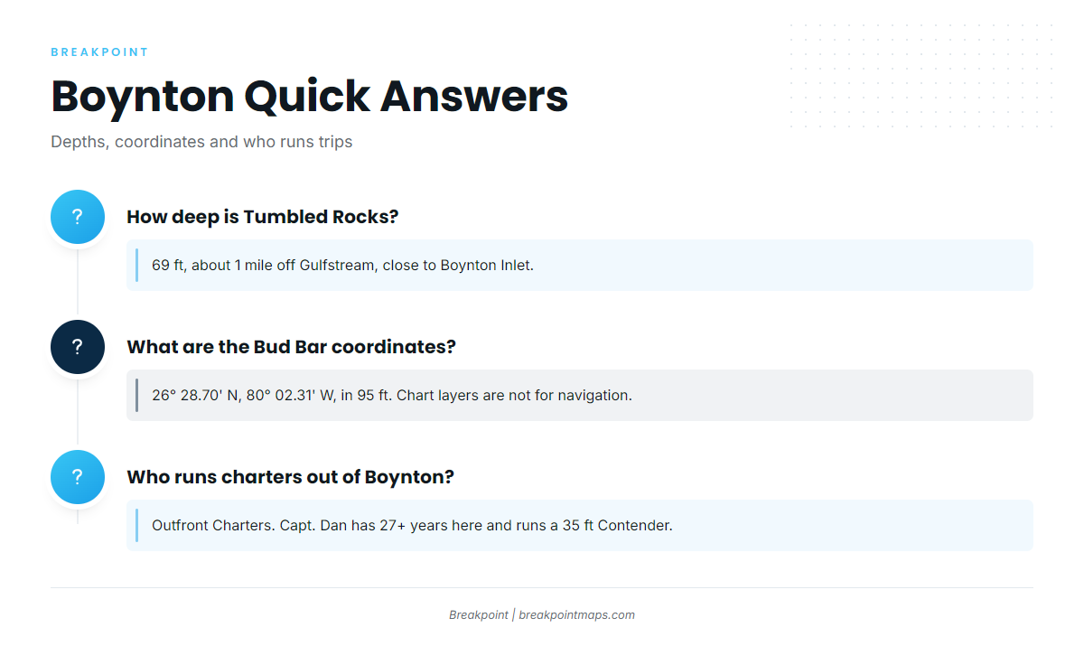
Tumbled Rocks sits in 69 ft, about 1 mile off Gulfstream and close to Boynton Inlet.
Boynton Ledge
Boynton Ledge is the named ledge among the local structure. By depth it falls between the shallow reef and the deeper wrecks.
Bud Bar (MS Havel)
Bud Bar, the MS Havel, sits in 95 ft.
26° 28.70′ N, 80° 02.31′ W
These coordinates are ready for the plotter. Chart layers are not for navigation.
M/V Castor
The M/V Castor sits in 110 ft, off the southern coast of Boynton Beach. It is the deepest named ground on the list.
How it is fished locally
Trolling is the local method, and the charter fleet is small.
Trolling
The Outfront 4-hour trip combines trolling with live bait. If you troll for more than mackerel on the same run, the coastal and offshore gamefish guides cover the other species.
Who fishes them here
Outfront Charters in Boynton Beach lists Spanish mackerel. Capt. Dan has fished Lantana, Palm Beach and Boynton for 27+ years and runs a 35 ft Contender on a 4-hour trolling and live bait trip.
FAQ about Spanish mackerel fishing out of Boynton Beach
How deep is Tumbled Rocks?
Tumbled Rocks sits in 69 ft, about 1 mile off Gulfstream and close to Boynton Inlet.
What are the Bud Bar coordinates?
Bud Bar, the MS Havel, is at 26° 28.70′ N, 80° 02.31′ W, in 95 ft. Chart layers are not for navigation.
How far do boats run for Spanish mackerel out of Boynton?
Boats run offshore trolling trips sized to a 4-hour trip, per Outfront. The named grounds run from 15 ft at Goggle Eye Reef to 110 ft at the M/V Castor.
Who runs Spanish mackerel charters out of Boynton?
Outfront Charters lists Spanish mackerel. Capt. Dan has 27+ years fishing Lantana, Palm Beach and Boynton, and runs a 35 ft Contender on a 4-hour trolling and live bait trip.
Where are the size and bag limits?
Use the Florida regulations page for state waters and the mackerel and cobia federal rules for federal waters. Check both before you fish.