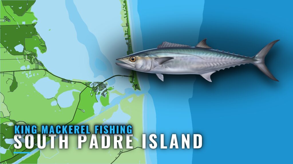
King mackerel fishing out of South Padre Island
King mackerel fishing out of South Padre Island runs from the Brazos Santiago jetties out to blue water. Boats chase king mackerel, also called kingfish, on named reefs and out to the shelf edge. This page covers timing, the grounds in order of the run with depths and distances, how kings are fished here, and which operators fish them from this port.
When king mackerel are around South Padre Island
Osprey II runs drift trips in the warmer months. REEL Madness runs a 6-hour trolling trip for kings and states no season. The operators’ own trip schedules are the best local signal of when kings are around. Migration timing follows the Gulf-wide pattern (see also the Gulf of Mexico fishing guide).
Where boats run for kings
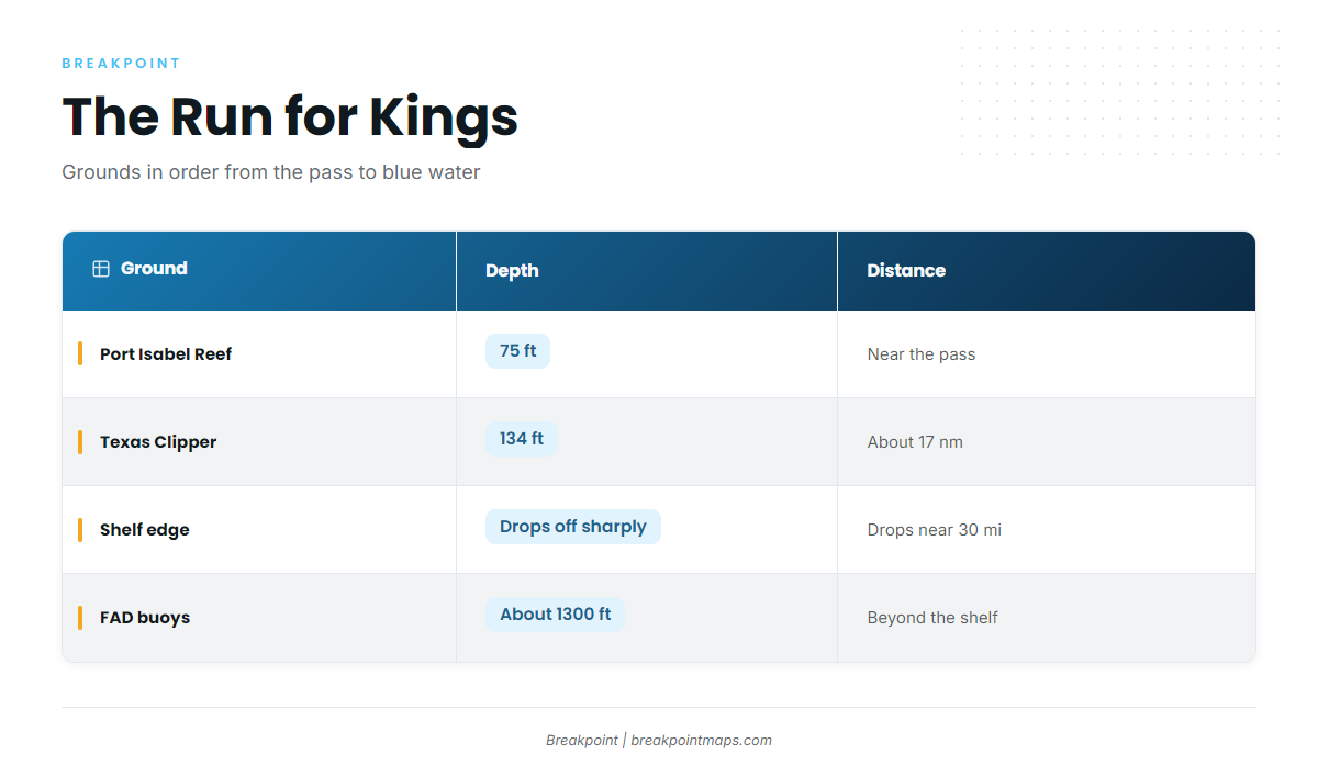
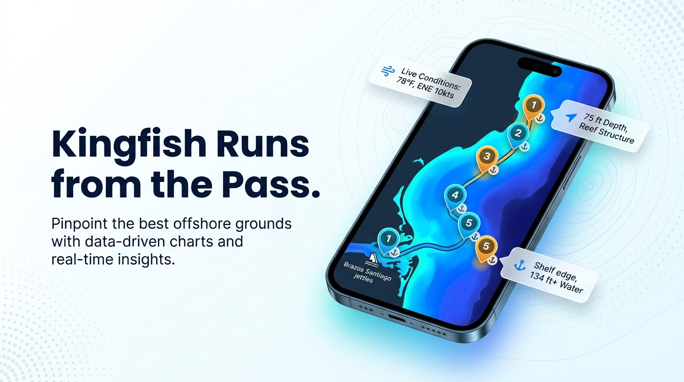
Texas Sportfish describes the range simply: kingfish are found between the beach and blue water. The grounds step outward from jetty water to blue water, and each one adds distance.
| Ground | Depth | Distance or position |
|---|---|---|
| Brazos Santiago Pass jetties (North and South) | Flank the pass entrance to the Gulf | |
| Port Isabel Reef | 75 ft | |
| RGV Reef | ||
| Texas Clipper | 134 ft | About 17 nm off South Padre Island |
| Continental shelf edge | Starts to drop around 30 miles offshore | |
| Texas FAD network (Hilton / Houston Big Game Fishing Club buoys) | About 1300 ft | |
| Deep-water oil rigs (incl. Perdido) |
Brazos Santiago Pass and the jetties
The North and South jetties flank the pass entrance to the Gulf. Every run leaves through the pass, and boats also fish the jetties themselves for kings.
Port Isabel Reef (75 ft)
Port Isabel Reef sits in 75 ft and is one of the named grounds boats run to for kings.
RGV Reef
The Rio Grande Valley (RGV) Reef is named structure off the port. It comes next in the run after Port Isabel Reef.
Texas Clipper (134 ft, about 17 nm)
The Texas Clipper lies in 134 ft, about 17 nm off South Padre Island. Texas Parks and Wildlife’s Clipper reef is a named reef off the port.
Toward blue water: the shelf edge, FAD buoys and rigs
The continental shelf edge starts to drop around 30 miles offshore, and Chart Contours shows the drop. The Texas FAD network (Hilton / Houston Big Game Fishing Club buoys) sits in about 1300 ft. The deep-water oil rigs, including Perdido, mark the far end of the range.
Reading conditions before the run
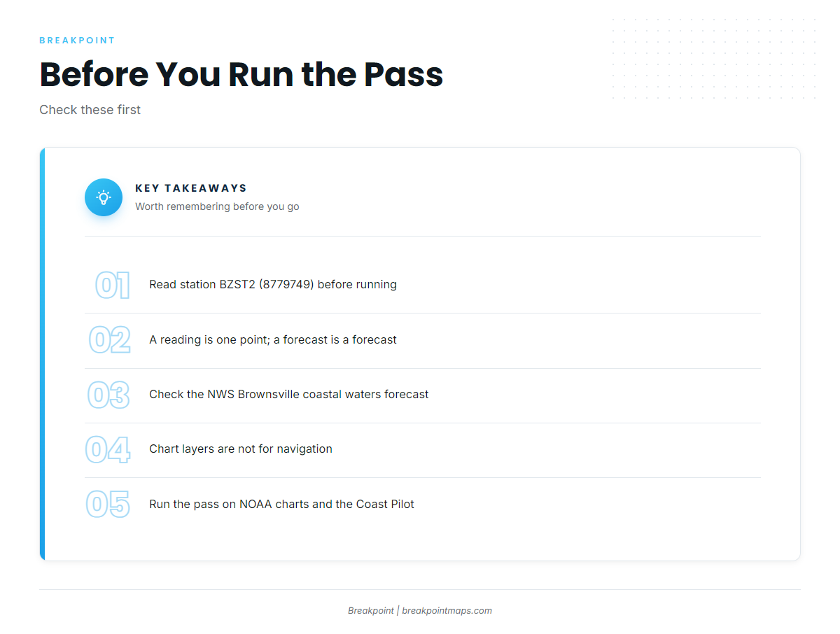
Check NDBC/TCOON station BZST2 (8779749), SPI Brazos Santiago, TX, at 26.067N 97.155W, before you leave the dock. It reports conditions at that one point only, so use it alongside a forecast. The NWS Brownsville coastal waters forecast covers wind and seas. Chart layers are not for navigation. Run the pass using official NOAA charts and NOAA Coast Pilot chapter 11.
How kings are fished out of South Padre Island
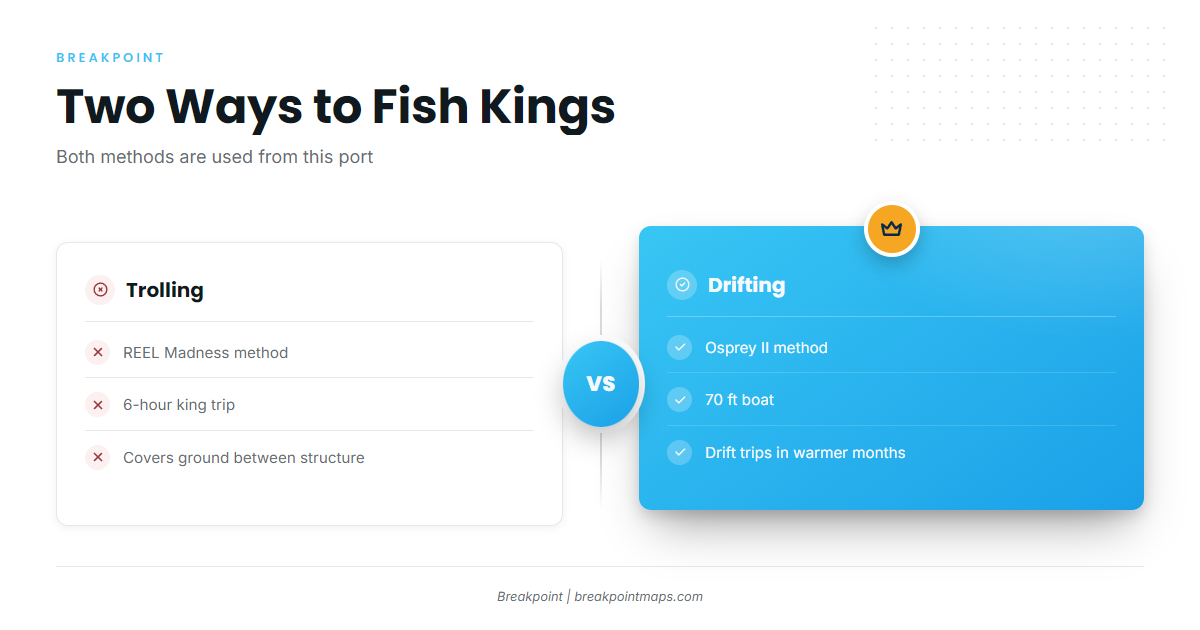
Two methods are used locally, trolling and drifting. Both work around the other gamefish that share the spread.
Trolling
REEL Madness trolls on its 6-hour king trip, covering ground between named structure.
Drifting
Osprey II, a 70 ft boat, runs drift trips in the warmer months.
Who fishes kings from this port
Both methods are represented among the local operators below.
| Operator | Boat | Captain | Trip |
|---|---|---|---|
| South Padre Island Sportfishing (REEL Madness) | REEL Madness, 38 ft sportfisher, up to 6 passengers | Captain Todd Lohry | 6-hour king trolling trip |
| Osprey Cruises | Osprey II, 70 ft | Drift trips in the warmer months | |
| Texas Sportfish (Miss Directed / Miss Guided) | |||
| SaltWalker Sport Fishing Charters | Based at Sea Ranch Marina | Captain Michael Walker | |
| Epic Charters Unlimited | Captain Roy Songy |
FAQ: king mackerel out of South Padre Island
When are king mackerel around South Padre Island?
Osprey II runs drift trips in the warmer months. REEL Madness runs a 6-hour king trolling trip and states no season.
How far is the Texas Clipper?
About 17 nm off South Padre Island, in 134 ft.
How deep is Port Isabel Reef?
75 ft. It is one of the named grounds boats run to for kings.
What station should I check before running?
BZST2 (8779749), SPI Brazos Santiago, TX, at 26.067N 97.155W. It gives a reading at one point, so pair it with the official forecast.
How do locals fish for kings, and where does the shelf drop?
They troll and drift. The shelf edge starts to drop around 30 miles offshore, toward the FAD buoys in about 1300 ft and the rigs.