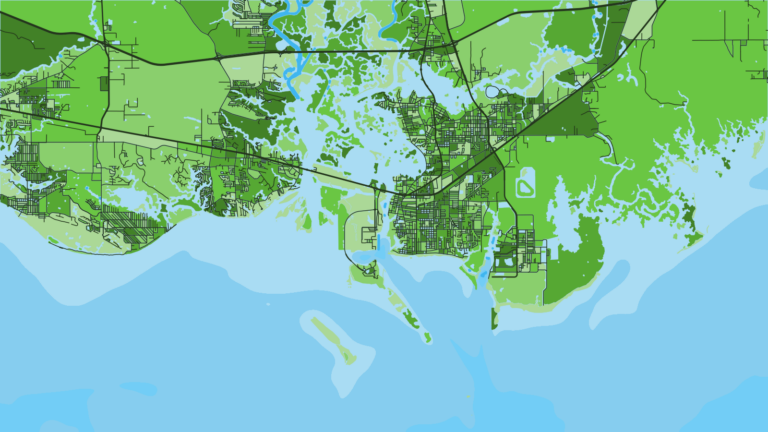
Mahi-mahi fishing out of Pascagoula starts with a run across the Mississippi Sound and past Horn Island to the reef sites and blue water offshore. The grounds are built on structure: Fish Haven 13, two former Liberty Ship hulls, and a network of permitted reef sites. Surface cues around that structure tell you where to slow down. This guide covers the water to read, the stops to plan, and how the fish are worked, so you can decide where to look.
When Mahi-Mahi Show Up off Pascagoula
Mahi follow water, bait and floating cover rather than the calendar. Before committing to the run, read where the clean water and the cover sit. For the Gulf-wide timing picture, see mahi-mahi in the Gulf (see also the Gulf of Mexico region guide). Off Pascagoula, the call comes down to the water on the day.
Reading the water
Two layers do most of the planning work:
- Chlorophyll shows where green, bait-rich coastal water meets cleaner blue water. That is the blue-green edge.
- OBS SST shows temperature breaks, which often line up with the same edge.
Bait stacks along that seam, and mahi work the bait. Weedlines, sargassum and floating debris often collect along the same line, so the edge also points to cover.
Cloud can block satellite passes. A cloudy pass shows a gap in the data, not an absence of water, so a hole in the image doesn’t mean a hole in the edge.
Conditions without a nearby buoy
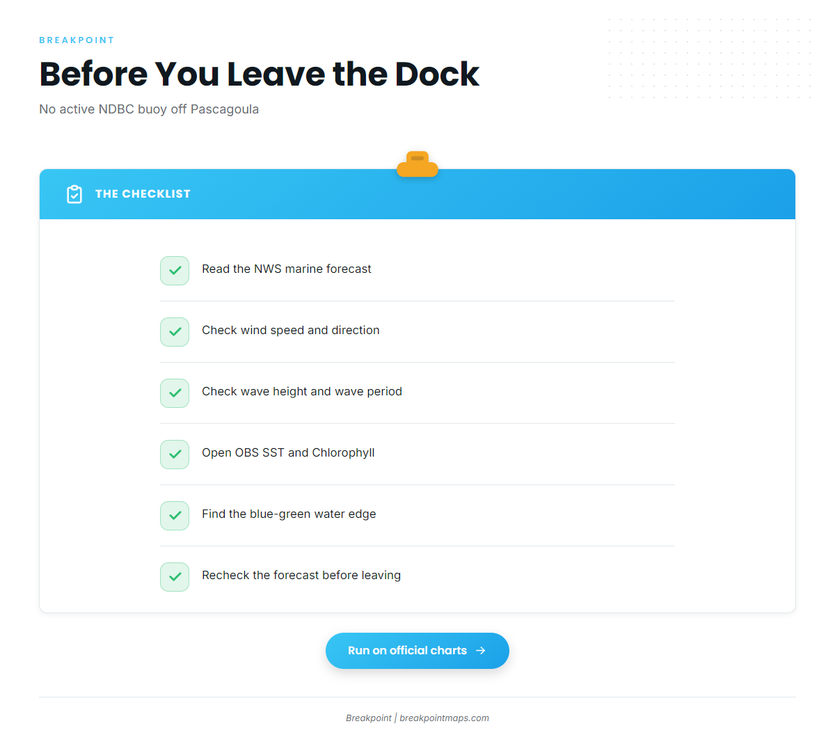
No active NDBC buoy reports conditions off Pascagoula, so read the official marine forecast and the satellite layers before the run. Start with the National Weather Service marine forecast. Look at wind speed and direction, wave height and wave period, and recheck the forecast before you leave the dock.
The Run South Past Horn Island
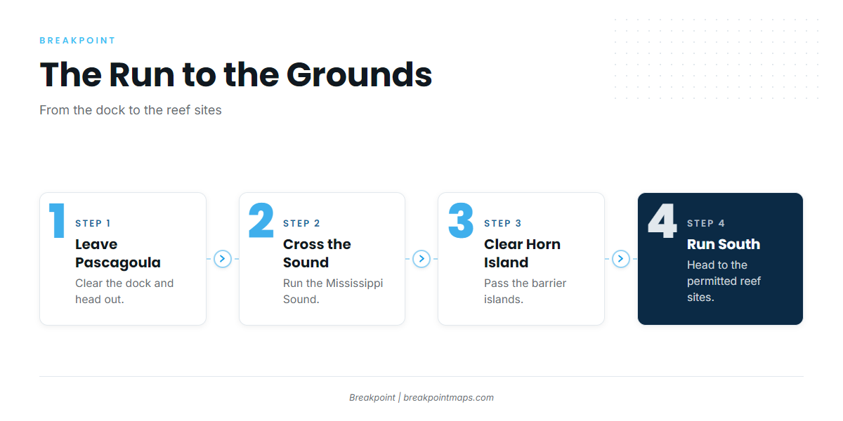
The grounds sit south of Horn Island, and every trip crosses the Mississippi Sound first.
Crossing the sound
The sequence is simple:
- Leave Pascagoula and cross the Mississippi Sound.
- Clear the barrier islands at Horn Island.
- Run south to the reef sites.
The pass, channels and local notes are on the Pascagoula port page.
Planning the route on Chart Contours
The permitted reef sites show on Chart Contours. Overlay OBS SST to see which ones sit near cleaner water before you pick a first stop, then order your stops so the run passes the structure closest to the edge you read that morning.
Chart layers are not for navigation. Run on your official charts and electronics. The plan works the same for a visiting trailer-boater as for a local.
Grounds and Structure That Hold Mahi
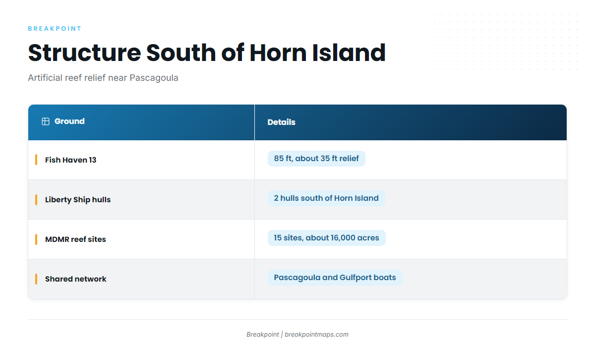
Mahi are a surface fish, but around Pascagoula the structure matters. Relief and hulls hold bait, and bait pulls mahi up and in.
| Ground | Depth | Relief | Location |
|---|---|---|---|
| Fish Haven 13 | 85 ft | about 35 ft | |
| Liberty Ship hulls (2) | Permitted reef sites south of Horn Island | ||
| MDMR permitted reef sites | 15 sites, about 16,000 acres, shared with Gulfport |
Fish Haven 13
Fish Haven 13 sits in 85 ft of water, with relief about 35 ft off the bottom. That puts structure well up into the water column, where it breaks current, collects bait over and around it, and gives pelagics a reason to swing through.
Check it and idle past while you read the surface. It is not a guaranteed hold.
The Liberty Ship hulls
Two former Liberty Ship hulls sit on permitted reef sites south of Horn Island. Hull structure creates the same current break and bait-holding effect. Watch the surface over and downcurrent of the hulls for fish coming up.
The MDMR permitted reef sites
The Mississippi Department of Marine Resources manages 15 permitted offshore reef sites covering about 16,000 acres. Coordinates and maps are on the MDMR artificial reef program page.
The network is shared with Gulfport, and boats from both ports work the same sites, so expect company on the better-known structure. With this much permitted acreage, pick the sites that line up with the edge from the morning read rather than the most popular name.
How Mahi Are Fished Here
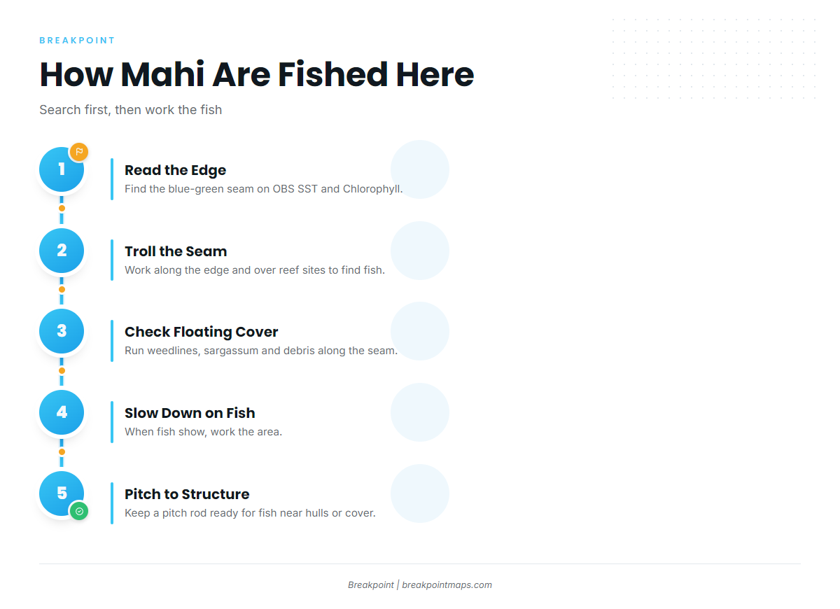
Rigs, baits and line choices are in the mahi-mahi fishing guide. The method here is to troll the edges to find fish, then pitch to fish that come up around structure or cover.
Trolling the edges
Trolling covers water along the blue-green edge and over the permitted reef sites. Its job is to locate fish, so the goal is search rather than a set spread. Work along the seam, not across it. When fish show, slow down and work the area.
Weedlines and floating cover
Weedlines, sargassum and floating debris hold mahi. Current seams collect floating material, which is why cover lines up with the edge. Run the length of a weedline and check larger mats and isolated debris.
Pitching to fish on structure
When fish come up around Fish Haven 13, the hulls or floating cover, keep a pitch bait or cast rod rigged. That lets you work the fish without breaking off the troll pattern.
Who Fishes for Mahi out of Pascagoula
Mahi-mahi fishing out of Pascagoula is mostly private boats, with a small charter presence.
Private boats sharing the Gulfport network
Owner-operators from Pascagoula and Gulfport fish the same MDMR permitted sites. Give other boats room on structure, and read the water to find less-pressured spots.
The local charter
Pier Pressure Charters LLC, run by Captain David Burlison, lists mahi-mahi among its offshore targets.
FAQ: Mahi-Mahi Fishing out of Pascagoula
How far offshore do you run for mahi out of Pascagoula?
The grounds sit south of Horn Island, across the Mississippi Sound, on and around the MDMR permitted reef sites. The distance on a given day depends on where the blue-green edge and floating cover sit, so read OBS SST and Chlorophyll first.
What structure holds mahi off Pascagoula?
Fish Haven 13 (85 ft, about 35 ft of relief), the two Liberty Ship hulls south of Horn Island, and the 15 MDMR permitted sites all hold bait. Weedlines and floating debris add surface cover that mahi use.
When are mahi around Pascagoula?
Mahi follow clean water, bait and cover, so check the satellite layers for the edge before you commit to the run. The Gulf-wide timing picture is on the Gulf page linked above.
Should I fish a charter first to learn the grounds?
A guided trip is one way to see how the structure and surface cues are worked before you run solo. It shortens the learning curve on the sound crossing and the reef sites.
What else bites offshore besides mahi?
The same offshore water holds other gamefish, and the broader picture is in the coastal and offshore gamefish pages. Plan the day around the water first, then the species.
Where do I check conditions before the run?
No active NDBC buoy reports conditions off Pascagoula. Use the NWS marine forecast numbers (wind, wave height and wave period) plus the satellite layers, and decide from the numbers.