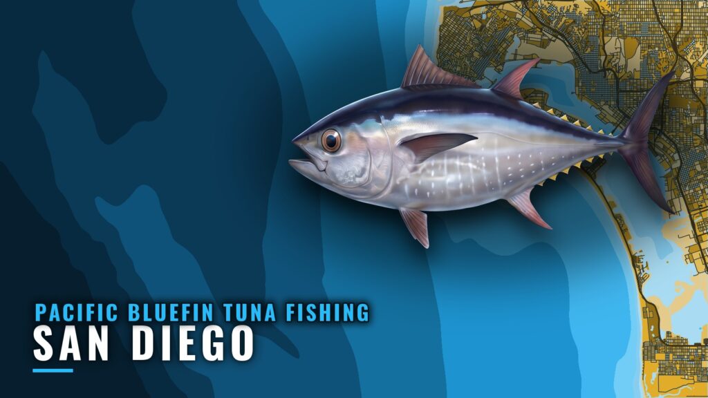
Pacific bluefin tuna fishing out of San Diego starts at one bay entrance, between Point Loma and North Island, with the Coronado Islands as the nearest named structure. This page covers where the fleet works and which operations to watch. For biology and migration, read the Pacific bluefin tuna guide. The goal here is a better decision about where to look, and nothing on the page promises fish.
When Pacific bluefin are off San Diego
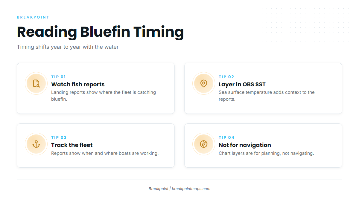
Timing shifts from year to year with the water. Sea surface temperature is one reason the bite moves, and no single month holds across every year.
The live signal is the landing fish reports, which show when and where the fleet is catching bluefin. For the wider picture, see the Southern California bluefin season (see also the Pacific Southwest region guide) guide.
Reading the timing
Pair the bluefin counts in the landing reports with OBS SST in the app to see where the water sits. The chart layers are for context and should not be used for navigation.
- Check the landing reports for bluefin counts.
- Compare against OBS SST for the same area.
- Treat both as context for a decision, not a forecast of fish.
Where San Diego boats run for bluefin
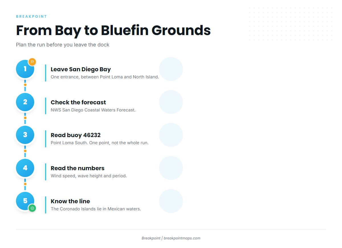
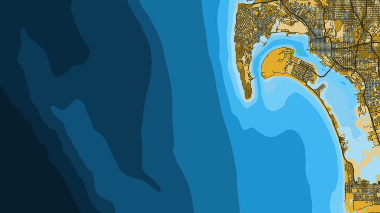
Boats leave San Diego Bay through the single entrance between Point Loma and North Island. Entrance details are on the San Diego port page. The wider Southern California grounds sit beyond the Coronado Islands.
| Reference | What it is |
|---|---|
| Bay entrance | Single dredged entrance between Point Loma and North Island |
| Coronado Islands | Nearest named structure, in Mexican waters |
| Wider Southern California grounds | Beyond the islands, covered in the regional guide |
The Coronado Islands
The Coronado Islands are the named structure closest to the bay, and they sit in Mexican waters, so a run there means crossing the border. The rules for that crossing are covered under Regulations below.
Conditions before the run
Read the NWS San Diego coastal waters forecast for San Mateo Point to the Mexican border, then check NDBC Station 46232, the Point Loma South buoy. The forecast covers a broad area and the buoy reads a single point, so neither describes the whole run.
Read wind speed, wave height and period as numbers, and judge them against your own boat.
How bluefin are fished out of San Diego
Point Loma Sportfishing’s Mission Belle page lists Pacific bluefin tuna among its target species. For methods and tackle, see our tuna fishing guides.
Who fishes for bluefin out of San Diego
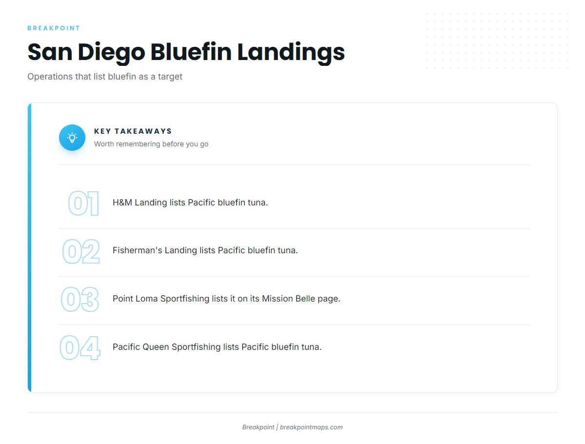
These San Diego operations list Pacific bluefin tuna among the species they target. Their fish reports show where the fleet is working.
- H&M Landing
- Fisherman’s Landing
- Point Loma Sportfishing, whose Mission Belle page lists Pacific bluefin tuna among its target species
- Pacific Queen Sportfishing
A private boat can use the fleet’s reports to narrow where to look.
FAQ: Pacific bluefin out of San Diego
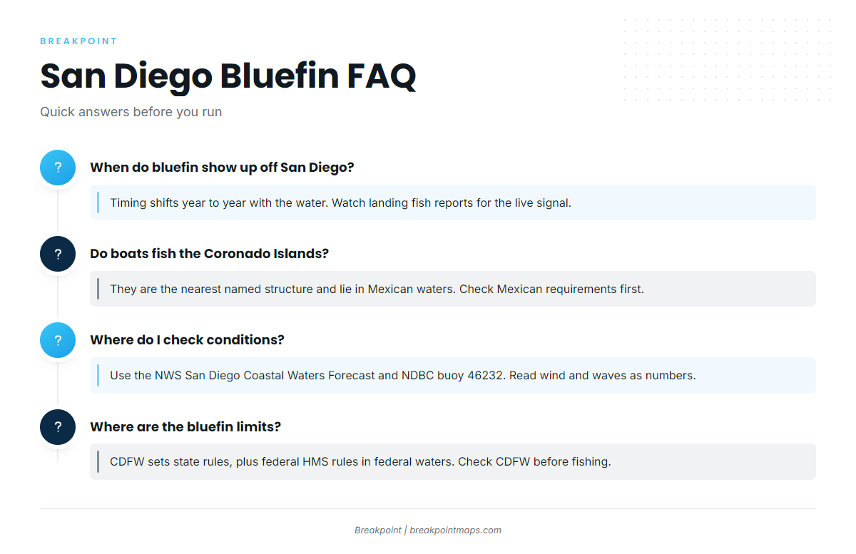
When do bluefin show up off San Diego?
Timing shifts from year to year with the water. The landings’ fish reports are the live signal for when the fleet is catching them.
Do boats fish the Coronado Islands for bluefin?
The Coronado Islands are the named structure closest to San Diego Bay, and they lie in Mexican waters. Check Mexican requirements before you cross.
Which San Diego landings target bluefin?
H&M Landing, Fisherman’s Landing, Point Loma Sportfishing and Pacific Queen Sportfishing list Pacific bluefin tuna among their target species. Point Loma Sportfishing’s Mission Belle page lists it too.
Where do I check conditions before running offshore from San Diego?
Use the NWS San Diego Coastal Waters Forecast and NDBC Station 46232, the Point Loma South buoy. Read wind speed, wave height and period as numbers.
Where are the bluefin limits for San Diego?
CDFW sets state rules, and federal HMS rules apply in federal waters. Check CDFW before you fish.