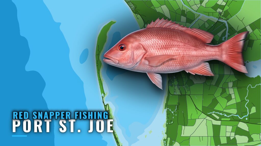
When red snapper are around Port St. Joe
Red snapper fishing out of Port St. Joe peaks in summer, and the grounds start a few miles off the beach. Visit Florida Beaches calls summer the peak for red snapper. The same fishery along the rest of the coast is in the Gulf of Mexico offshore fishing guide.
The Port St. Joe port guide covers ramps, the St. Joseph Bay entrance and where to read conditions. Cape San Blas is the landmark for the long run south. This guide covers how far boats run, which Gulf County structure holds fish, how it is fished, and who runs charters for it.
How far boats run
Trips from Port St. Joe fall into two kinds: the near grounds and one long run. Pull wind and wave numbers from the NWS marine forecast for GMZ752 and decide from there. NOAA tide station 8728912, Port Saint Joe, is the station named for this port.
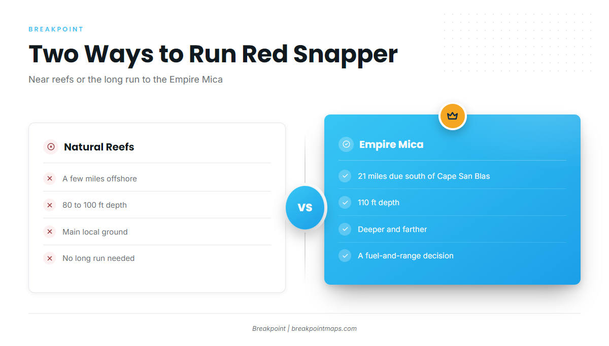
Natural reefs a few miles out
Natural reefs sit a few miles offshore in 80 to 100 ft. They are the main local ground for boats that don’t want the long run.
The run to the Empire Mica
The Empire Mica lies in 110 ft, 21 miles due south of Cape San Blas. That is deeper and farther than the near reefs, so whether to go depends on your boat’s fuel and range.
Grounds and structure that hold red snapper
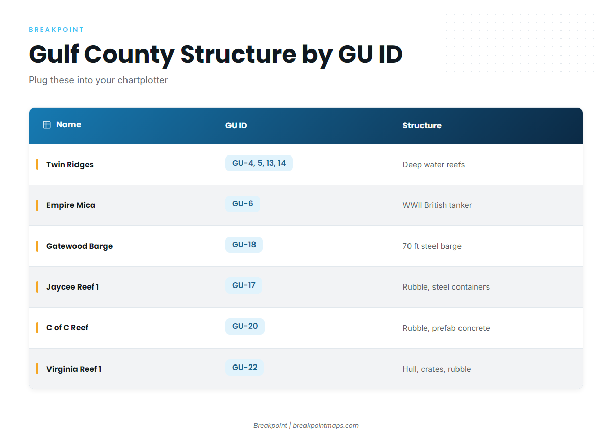
Gulf County reefs carry GU IDs you can enter in a chartplotter. For the wider picture, see our reef fish guides. Chart layers such as Chart Contours help you find structure but are not for navigation.
| Name | GU ID | Structure | Depth |
|---|---|---|---|
| Twin Ridges NE, SE, NW, SW | GU-4, GU-5, GU-13, GU-14 | Northeast Gulf deep water reefs | |
| Empire Mica | GU-6 | WWII British tanker | 110 ft |
| Pompano Point | GU-15 | ||
| Jaycee Reef 1 | GU-17 | Concrete rubble and steel containers | |
| Gatewood Barge | GU-18 | 70 ft steel barge | |
| C of C Reef | GU-20 | Concrete rubble and prefabricated concrete | |
| LST Port St Joe | GU-21 | ||
| Virginia Reef 1 | GU-22 | Boat hull, metal crates and concrete rubble |
Twin Ridges
Four northeast Gulf deep water reef sites: NE, SE, NW and SW (GU-4, GU-5, GU-13 and GU-14).
Empire Mica
A WWII British tanker, GU-6, in 110 ft, 21 miles due south of Cape San Blas.
Gatewood Barge
GU-18, a 70 ft steel barge.
Jaycee Reef 1
GU-17, concrete rubble and steel containers.
C of C Reef
GU-20, concrete rubble and prefabricated concrete.
Virginia Reef 1
GU-22, a boat hull, metal crates and concrete rubble.
Pompano Point
GU-15.
LST Port St Joe
GU-21.
How red snapper are fished here
The local method is bottom fishing on structure, meaning the reefs and wrecks above. Lady J lists red snapper as a seasonal offshore target. Rigging and biology are covered in our red snapper species guide.
Who fishes for red snapper out of Port St. Joe
Lady J Charters in Port St. Joe lists red snapper as a seasonal offshore target. The Gulf County TDC listing gives the boat as the Lady J III, 36 ft.
FAQ about red snapper fishing out of Port St. Joe
When is red snapper fishing best out of Port St. Joe?
Summer. Visit Florida Beaches calls summer the peak for red snapper.
How deep are the red snapper grounds off Port St. Joe?
Natural reefs a few miles offshore sit in 80 to 100 ft. The Empire Mica sits in 110 ft.
How far is the Empire Mica?
It is 21 miles due south of Cape San Blas, in 110 ft, listed as GU-6.
Is there a local charter that targets red snapper?
Lady J Charters lists red snapper as a seasonal offshore target. The Gulf County TDC listing gives its boat as the Lady J III, 36 ft.
Which tide station covers Port St. Joe?
NOAA tide station 8728912, Port Saint Joe.