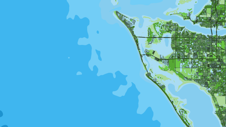
Sailfish fishing out of Cortez starts at Longboat Pass, where boats leave Sarasota Bay for the Gulf. Sailfish are a listed Cortez species, billfish start showing up in spring, and trolling is the most common billfish method here. This guide gives the bearing, distance and depth for 8 named grounds, from 0.6 to 14.7 miles out, so you can decide where to look.
When sailfish show up off Cortez
Billfish start showing up in spring, per Fishingbooker’s Cortez fishing guide, which lists sailfish alongside the other billfish.
Water temperature, migration and biology are covered in our sailfish species guide. For the wider picture beyond this port, see our Gulf sailfish guide (see also the wider Gulf of Mexico guide).
Where boats run from Longboat Pass
Every named ground below is measured from one of two points: the Longboat Pass entrance or the tip of Anna Maria Island. The pass itself, ramps and where to read conditions are in our Cortez port guide.
Reference points
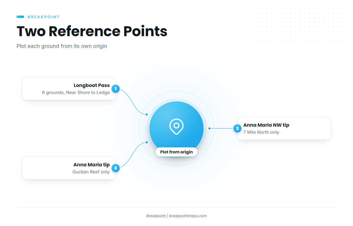
Plot each ground from its own reference point, because bearings from different points are not interchangeable.
- Longboat Pass entrance: the reference for 6 grounds: Near Shore, 1 Mile, 3 Mile North, 3 Mile South, 7 Mile South and Anna Maria Ledge.
- Anna Maria Island: the reference for 7 Mile North (measured from the NW tip) and Gucken Reef (measured from the tip).
Who fishes for them
The Full Send tournament lists sailfish among its Cortez-based species, which makes them a recognized local target.
Grounds and structure near Cortez
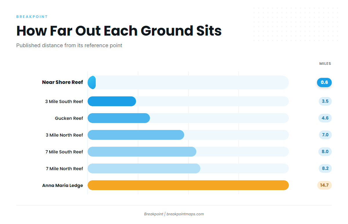
These are named structures near Cortez with their published depth, distance and bearing. Nothing in this data places sailfish on any one of them. They show the water you run across and the bottom you work over, and say nothing about where the fish are.
Chart layers such as Chart Contours are not for navigation. Cross-check every waypoint on an official chart.
| Ground | Depth (ft) | Distance | Bearing | From |
|---|---|---|---|---|
| Near Shore Reef | 16 | 0.6 miles | 321° | Longboat Pass |
| 3 Mile South Reef | 30 | 3.5 miles | 270° | Longboat Pass |
| 1 Mile Reef | 25 | 4.3 nm | 320° | Longboat Pass entrance |
| Gucken Reef | 33 | 4.6 miles | 250° | Tip of Anna Maria Island |
| 3 Mile North Reef | 28 | 7.0 miles | 305° | Longboat Pass |
| 7 Mile South Reef | 40 | 8.0 miles | 270° | Longboat Pass |
| 7 Mile North Reef | 40 | 8.2 miles | 270° | NW tip of Anna Maria Island |
| Anna Maria Ledge | 46 | 14.7 miles | 290° | Longboat Pass |
Swipe the table sideways to see every column.
Shallow: 16 to 25 ft
Near Shore Reef sits in 16 ft, 0.6 miles out at 321° from Longboat Pass. 1 Mile Reef sits in 25 ft, 4.3 nm out at 320° from the Longboat Pass entrance. Both lie close to the same line from the pass.
Mid: 28 to 33 ft
3 Mile South Reef is 30 ft at 270° from Longboat Pass. 3 Mile North Reef is 28 ft at 305°. Gucken Reef is 33 ft at 250° from the tip of Anna Maria Island. These span 3.5 to 7.0 miles.
Outer: 40 to 46 ft
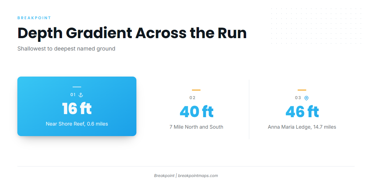
7 Mile South Reef is 40 ft, 8.0 miles out at 270° from Longboat Pass. 7 Mile North Reef is also 40 ft, 8.2 miles at 270°, but measured from the NW tip of Anna Maria Island. Anna Maria Ledge is 46 ft, 14.7 miles at 290° from Longboat Pass.
Anna Maria Ledge is the deepest and farthest named ground, and the next structure out if you plan to stage beyond the 7 Mile reefs. Across the whole run, depth steps from 16 ft to 46 ft.
How sailfish are fished out of Cortez
Trolling is the main method here. Conditions data near the port has gaps worth knowing about before you run.
Trolling
Trolling is the most common billfish method in the Cortez guide. Spreads, baits and speeds are covered in our billfish guides.
Reading conditions
The nearest NOAA buoy is NDBC station ANMF1 (Anna Maria, FL, 27.538N 82.739W). It is listed, but its page showed no recent data, so check the station page before relying on it.
Read the official NWS Tampa Bay coastal forecast before the run, and judge the day by forecast wind, wave height and period numbers.
FAQ: sailfish fishing out of Cortez
When do billfish show up off Cortez?
Billfish start showing up in spring, per Fishingbooker’s Cortez guide.
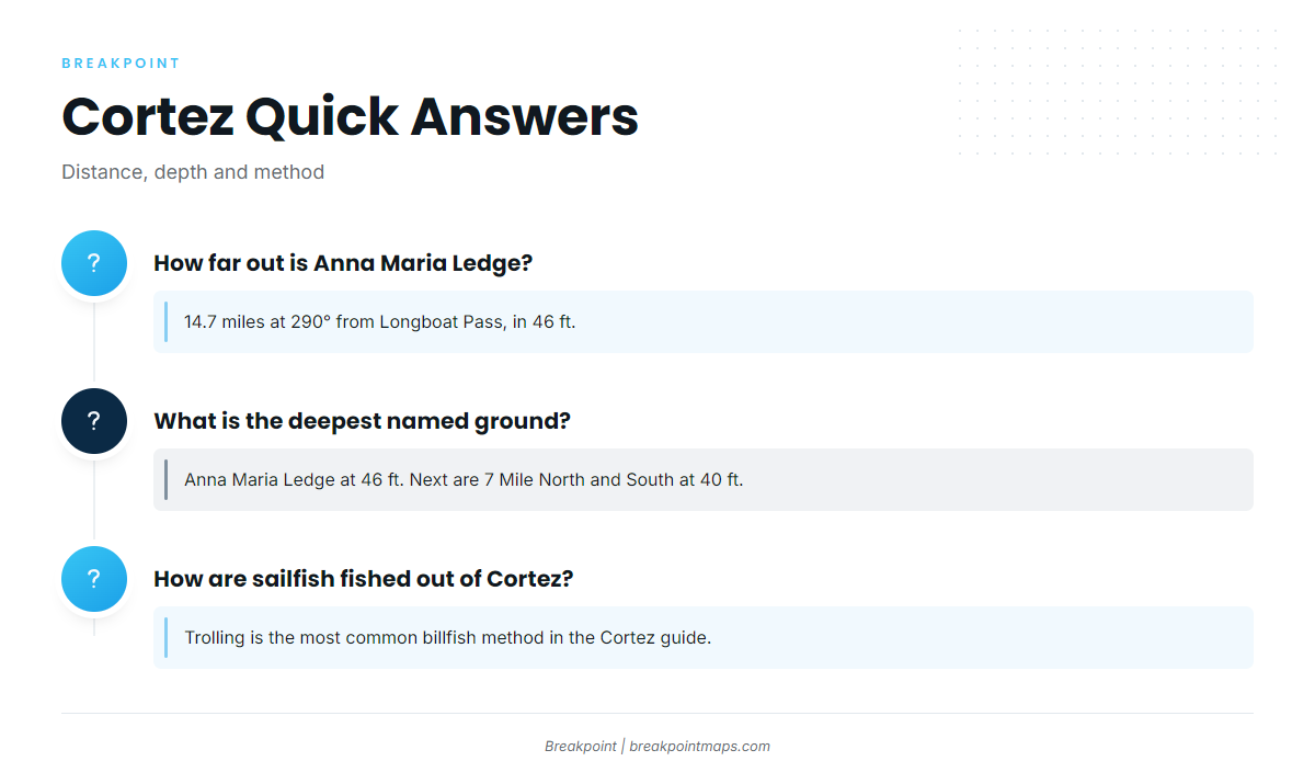
How far out is Anna Maria Ledge?
Anna Maria Ledge is 14.7 miles out at 290° from Longboat Pass, in 46 ft.
What is the deepest named ground near Cortez?
Anna Maria Ledge is the deepest at 46 ft. 7 Mile North Reef and 7 Mile South Reef are next at 40 ft.
How are sailfish fished out of Cortez?
Trolling is the most common billfish method in the Cortez guide.
Is there a NOAA buoy near Cortez?
Yes. NDBC station ANMF1 (Anna Maria, FL, 27.538N 82.739W) is listed, but its page showed no recent data. Check its station page and the official marine forecast, and read wind, wave height and period.