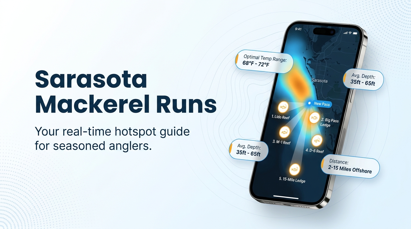
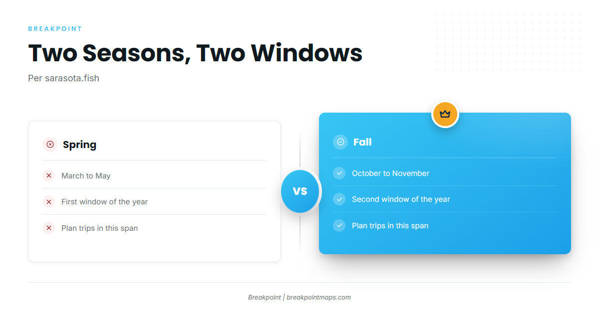
Spanish mackerel fishing out of Sarasota runs in two windows, March to May and October to November, per sarasota.fish. Boats work the beaches and passes first, then move to reefs and ledges measured by bearing and distance from New Pass.
When Spanish mackerel are off Sarasota
Biology and general behavior are in our guide to Spanish mackerel biology and behavior, and the coastwide Gulf migration picture (see also the wider Gulf of Mexico guide) has its own page. This page covers the fish only as they show up at this port.
| Window | Months | Source |
|---|---|---|
| Spring | March to May | sarasota.fish |
| Fall | October to November | sarasota.fish |
Spring
The spring window is March to May, per sarasota.fish.
Fall
The fall window is October to November, per sarasota.fish.
Where boats run from New Pass
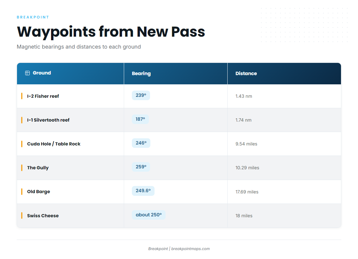
Every bearing and distance on this page is measured from New Pass unless noted, and all bearings are magnetic. Boats leave through the passes at Sarasota: New Pass, Big Sarasota Pass and Longboat Pass.
Beaches and passes
Boats work Sarasota’s beaches and passes first. Point of Rocks sits off Siesta Key beach. Kokomo Charters’ 4-hour nearshore trip is the local benchmark for a half-day run.
Nearshore reefs
- I-2 Fisher reef: 30 ft, 1.43 nm at 239° magnetic from New Pass. It is the closest listed reef.
- I-1 Silvertooth reef: 25 ft, 1.74 nm at 187° magnetic from New Pass.
Ledges and deeper ground
Listed from closest to farthest:
- Cuda Hole / Table Rock ledge: 49 ft, 246° magnetic, 9.54 miles from the New Pass Gulf marker.
- The Gully: 259° magnetic, 10.29 miles from New Pass.
- Casey Key Beach / Grassy Key ledges: 25 ft, with 5 to 8 ft ledges, 11 nm at 152° magnetic.
- Old Barge: 80 ft, 249.6° magnetic, 17.69 miles from New Pass.
- Swiss Cheese: 70 to 85+ ft, about 250° magnetic, 18 miles from New Pass.
| Ground | Depth | Bearing (magnetic) | Distance | Reference |
|---|---|---|---|---|
| Point of Rocks (Siesta Key) | n/a | n/a | Off Siesta Key beach | Siesta Key |
| I-2 Fisher reef | 30 ft | 239° | 1.43 nm | New Pass |
| I-1 Silvertooth reef | 25 ft | 187° | 1.74 nm | New Pass |
| Cuda Hole / Table Rock ledge | 49 ft | 246° | 9.54 miles | New Pass Gulf marker |
| The Gully | n/a | 259° | 10.29 miles | New Pass |
| Casey Key / Grassy Key ledges | 25 ft (5 to 8 ft ledges) | 152° | 11 nm | n/a |
| Old Barge | 80 ft | 249.6° | 17.69 miles | New Pass |
| Swiss Cheese | 70 to 85+ ft | about 250° | 18 miles | New Pass |
Swipe the table sideways to see every column.
Bearings are magnetic. Chart layers are not for navigation.
How it’s fished here
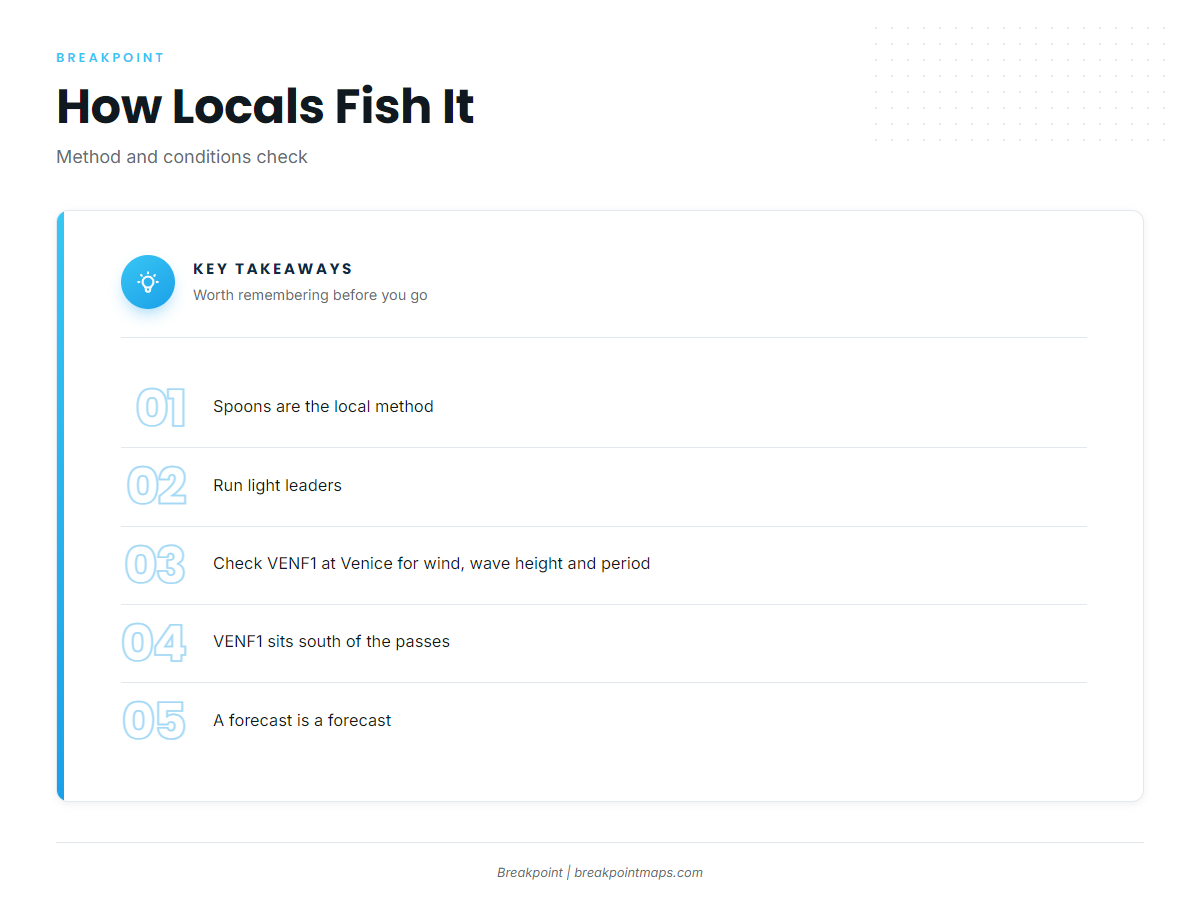
Locals fish spoons on light leaders, per sarasota.fish. For king mackerel and cobia on the same grounds, see our coastal and offshore gamefish guides.
Spoons
Run spoons where the fish are working: the beaches, the passes and the reef edges listed above.
Light leaders
Light leaders are the local setup, per sarasota.fish.
Reading conditions at VENF1
The nearest buoy data comes from NDBC C-MAN station VENF1 at Venice, 27.072 N 82.453 W. It sits south of the passes, so treat it as a regional reading rather than a New Pass reading.
- Read wind speed and direction as numbers.
- Read wave height and period as numbers.
- Compare them with the National Weather Service marine forecast before you leave the dock, and check the forecast again at the pass.
Who fishes them from this port
Kokomo Charters is the local charter that lists Spanish mackerel.
Kokomo Charters, Kai Fin
Kokomo Charters lists Spanish mackerel on its offshore fishing aboard Kai Fin page. Kai Fin is a 45 ft, federally permitted six-pack with Captain Rob. Kokomo also runs a 4-hour nearshore trip.
FAQ
When is the Spanish mackerel season off Sarasota?
Spanish mackerel fishing out of Sarasota runs March to May and October to November, per sarasota.fish.
How far do boats run for Spanish mackerel?
Boats work the beaches and passes first. The reefs sit 1.43 to 1.74 nm from New Pass, and the ledges start at 9.54 miles and run farther out.
What is the closest reef to New Pass?
I-2 Fisher is the closest listed reef: 30 ft, 1.43 nm at 239° magnetic.
What lures do locals use?
Locals use spoons and light leaders, per sarasota.fish.
Where do I check wind and waves?
Use NDBC station VENF1 at Venice (27.072 N 82.453 W), plus the official National Weather Service marine forecast.