Spanish mackerel fishing out of Tarpon Springs
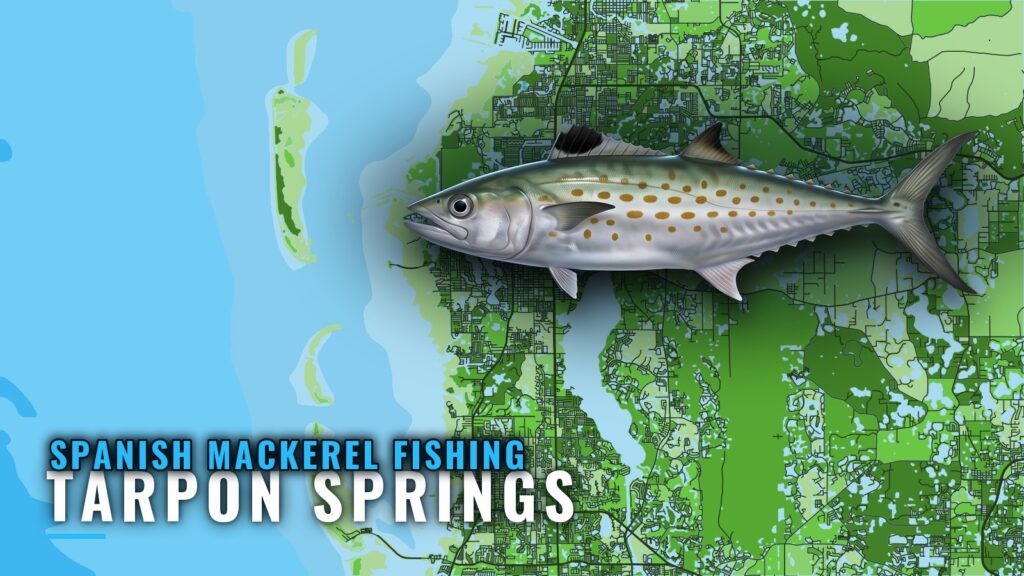
Spanish mackerel fishing out of Tarpon Springs centers on the artificial reefs that start about 7 miles offshore. Boats leave from Tarpon Springs and troll that structure. This page covers the reef shortlist, the run, and how the fish are worked locally.
Local charter operators publish no months for Spanish mackerel. The species guide covers Spanish mackerel in general, from biology to range. For timing along the Gulf coast (see also the Gulf of Mexico fishing guide), the regional guide explains how the fish move across the Gulf.
How far boats run
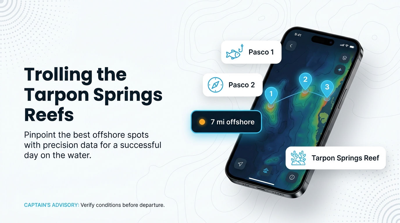
The artificial reefs start about 7 miles offshore. The closest three are Pasco 1, Pasco 2 and Tarpon Springs Reef. Capt. Dustin and Miss Virginia both list mackerel on their offshore trips. Before the run, check wind, wave height and period on the official NWS marine forecast.
| Reef | Run from port |
|---|---|
| Pasco 1 | about 7 miles and out |
| Pasco 2 | about 7 miles and out |
| Tarpon Springs Reef | about 7 miles and out |
Reefs and structure off Tarpon Springs
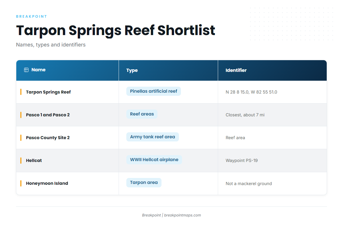
Tarpon Springs Reef is the only site here with a published coordinate; the others are identified by name and structure. Treat any published reef position as a starting point and confirm the structure on your own sonar. Chart layers are not for navigation.
| Name | Type | Identifier |
|---|---|---|
| Tarpon Springs Reef | Pinellas County artificial reef | N 28 8 15.0, W 82 55 51.0 |
| Pasco 1 and Pasco 2 | reef areas | |
| Pasco County Site 1 | reef area | |
| Pasco County Site 2 | army tank reef area | |
| Hellcat | WWII Hellcat airplane | Pasco County reef waypoint PS-19 |
| Anclote Keys and North Keys | named grounds | |
| Devils Rock Yard | named ground | |
| Honeymoon Island | tarpon area |
Tarpon Springs Reef
Tarpon Springs Reef is a Pinellas County artificial reef at N 28 8 15.0, W 82 55 51.0.
Pasco 1 and Pasco 2
Pasco 1 and Pasco 2 are reef areas. Together with Tarpon Springs Reef, they are the closest artificial reefs, starting about 7 miles out.
Pasco County Site 1
Pasco County Site 1 is a reef area.
Pasco County Site 2 (army tank reef)
Pasco County Site 2 is the reef area known as the army tank reef.
Hellcat (PS-19)
The Hellcat is a WWII Hellcat airplane at Pasco County reef waypoint PS-19.
Anclote Keys, North Keys and Devils Rock Yard
Anclote Keys, North Keys and Devils Rock Yard are named grounds near the port.
Honeymoon Island (tarpon area)
Honeymoon Island is a tarpon area and is not listed as a mackerel ground.
How Spanish mackerel are fished here
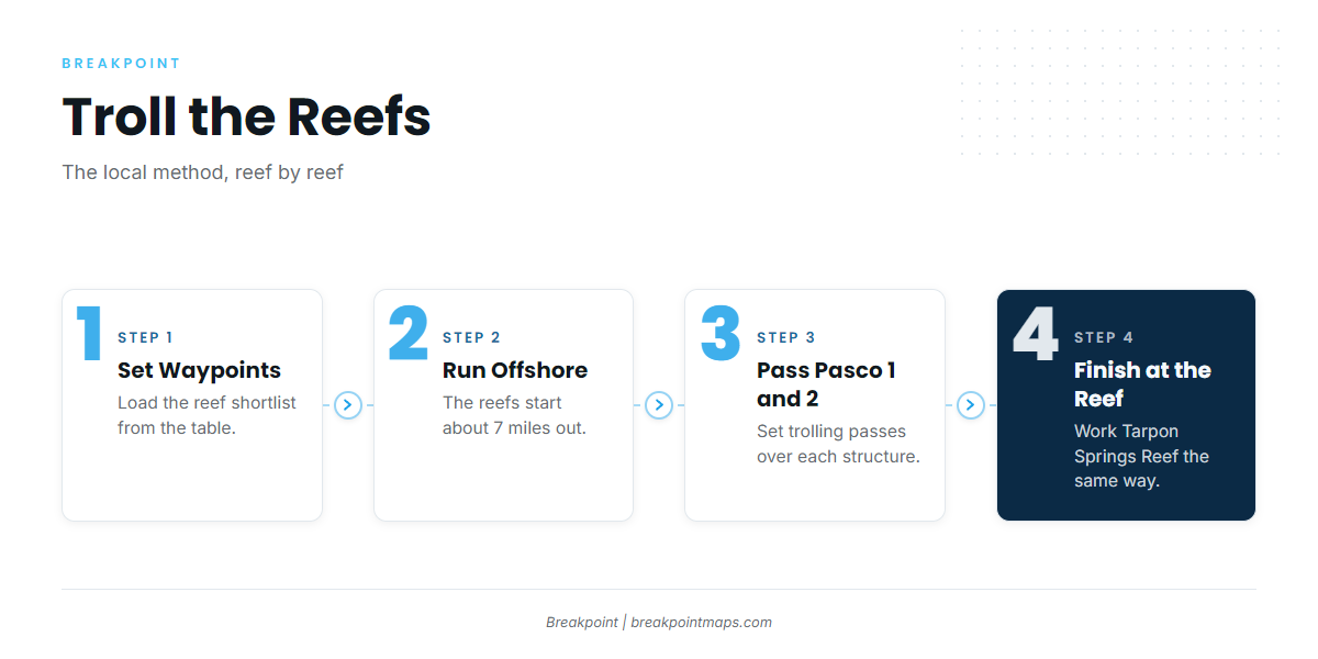
The local method is trolling the reefs. Owner-operators running their own boats and the offshore charters both work these grounds, and Capt. Dustin and Miss Virginia list mackerel on offshore trips. For other species from the same port, see the guides to coastal and offshore gamefish.
A workable plan starts from the shortlist:
- Start with Pasco 1, Pasco 2 and Tarpon Springs Reef.
- Use the waypoints in the table to set passes over each structure.
- Move to the next reef when a pass shows nothing on sonar.
The waypoints don’t guarantee fish, but they help you decide where to look.
FAQ: Spanish mackerel fishing out of Tarpon Springs
Is there a season for Spanish mackerel at Tarpon Springs?
Local charter operators publish no months for Spanish mackerel.
How far are the reefs from Tarpon Springs?
The artificial reefs start about 7 miles offshore. Pasco 1, Pasco 2 and Tarpon Springs Reef are the closest.
What are the coordinates of Tarpon Springs Reef?
N 28 8 15.0, W 82 55 51.0. It is a Pinellas County artificial reef, so confirm the structure on sonar.
What is the Hellcat?
The Hellcat is a WWII Hellcat airplane at Pasco County reef waypoint PS-19.
Do Tarpon Springs charters fish for mackerel?
Yes. Capt. Dustin and Miss Virginia both list mackerel on offshore trips.