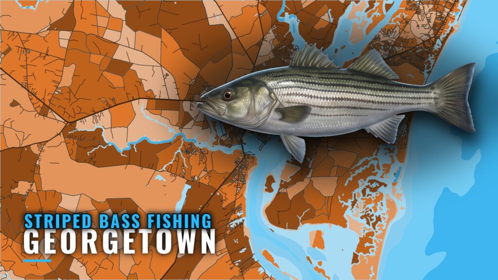
Striped bass fishing out of Georgetown comes down to moving water: the Waccamaw, the Pee Dee and the brackish water around town, where current pinches bait at creek mouths, ditch mouths and riprap. This page is for anglers who run their own boats. It covers where to look, what to throw, and how the mapped reefs fit in.
Where boats run out of Georgetown
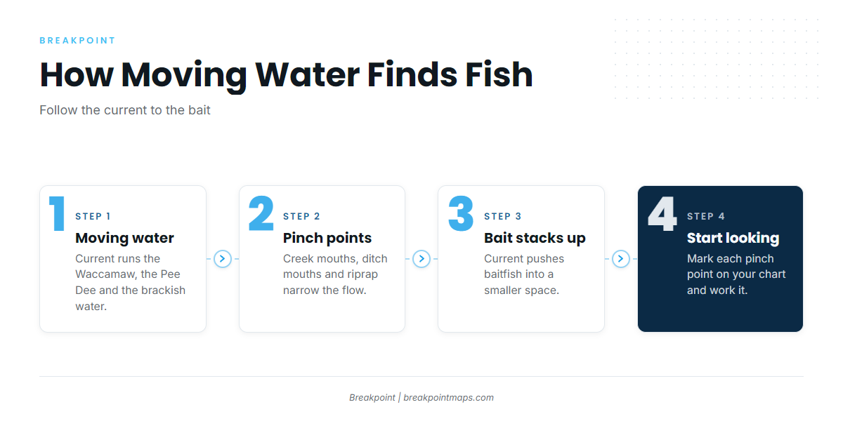
Boats work two river systems, the Waccamaw River and the Pee Dee River, plus the brackish water around Georgetown and Winyah Bay. Launch details and the run up the rivers start from the Georgetown port page.
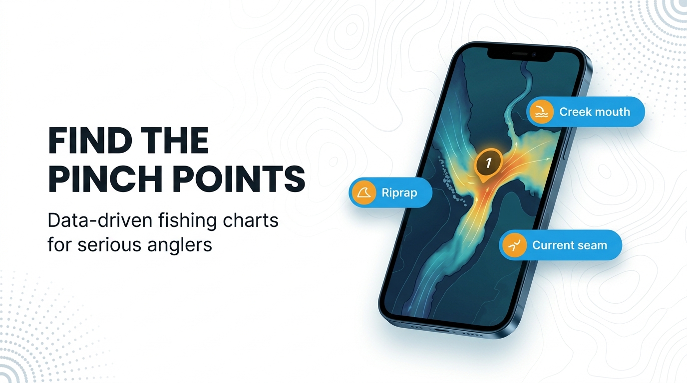
Where current narrows or bends past an edge, it pushes bait into a smaller space. That is where you start looking. Mark these water types on your chart:
- Creek mouths and ditch mouths feeding the Waccamaw and Pee Dee
- Riprap where current runs along rock
- Brackish water around Georgetown and Winyah Bay
Most anglers fishing these places run their own boats and already carry redfish tackle. The same rod and lure box covers both fish.
Creek and ditch mouths
Where a creek or ditch empties into the river, moving water funnels bait through the mouth. Fish the mouth while water is flowing through it, and work the edge where creek water meets river current.
Riprap
Riprap is hard structure where current runs along or around rock, which pinches bait the same way a creek mouth does. Work the current side and the edge where moving water meets slack.
When stripers are around
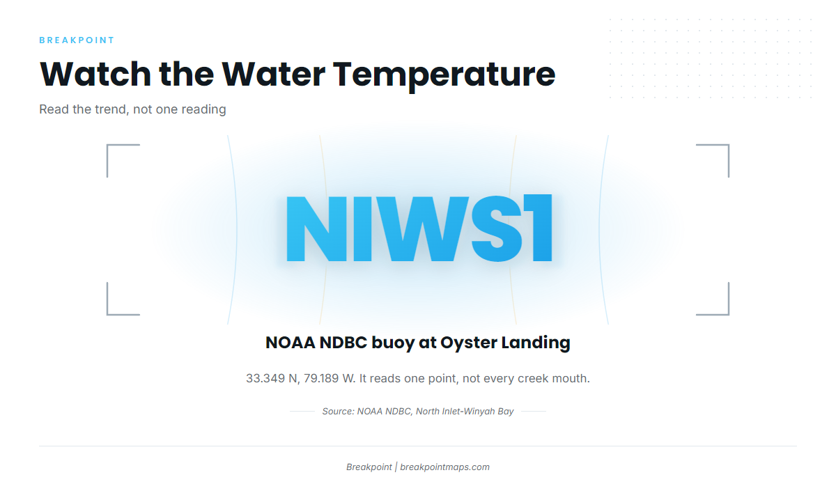
Water temperature is the number to watch. NOAA NDBC station NIWS1 at Oyster Landing, North Inlet-Winyah Bay Reserve (33.349 N, 79.189 W), reports it. Follow the trend over several days rather than a single reading. The buoy reads one point at Oyster Landing and does not describe every creek mouth up the Waccamaw or the Pee Dee.
The striped bass species guide covers the spawning run and seasonal movement. For how fish move along this coast, see the Atlantic Southeast run (see also the Atlantic Southeast region guide).
In Breakpoint, you can check NIWS1 water temperature and mark pinch points against the Chart Contours layer. Chart layers are not for navigation.
How stripers are fished here
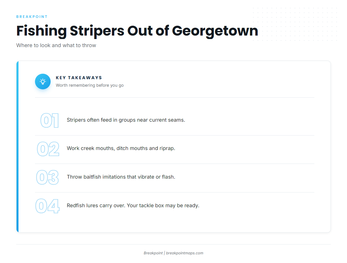
Stripers often feed in groups near current seams, the line where faster water meets slower water. Most striped bass fishing out of Georgetown is casting to those seams, so you want a lure that reads as baitfish in moving water. We can point you to where to look and what to throw. We cannot promise fish.
Current seams and fish in groups
At a creek mouth, ditch mouth or riprap, a seam shows as a visible line where fast water meets slow. Stripers feed in groups, so one fish is a signal to keep working that seam.
Baitfish imitations that vibrate or flash
Any baitfish imitation that vibrates or flashes works locally. Choose by function, not brand, and work it across or along the seam so it moves through the bait zone.
Redfish lures
Redfish lures also catch stripers here. If you fish inshore for reds, your existing box carries over, and you may not need new tackle to start.
Named reefs and structure near Georgetown
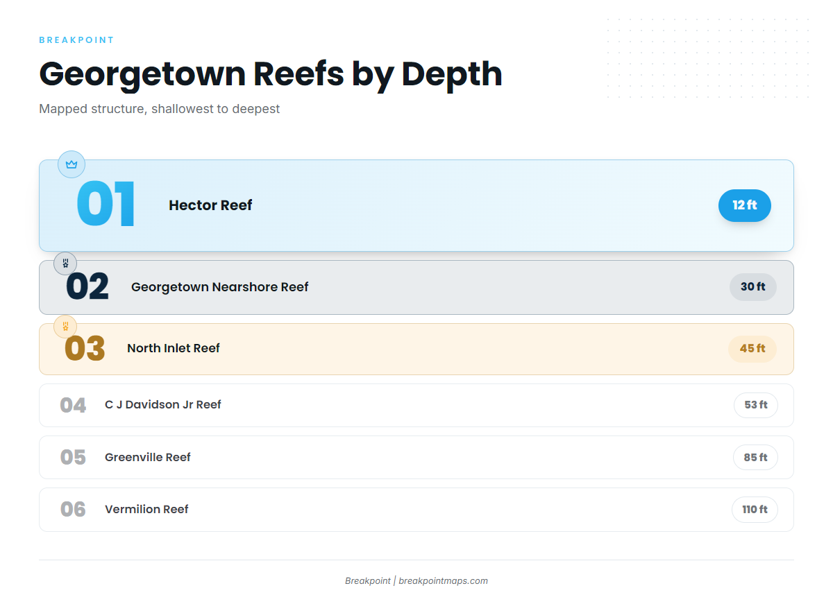
The SCDNR artificial reef locations list the mapped structure near Georgetown. Depths run from Hector Reef at 12 ft to Vermilion Reef at 110 ft.
A reef’s depth says nothing about whether stripers are on it. The striper water described above is inshore, and these reefs draw most of their effort from anglers after coastal and offshore gamefish.
| Reef | Depth (ft) | Notes |
|---|---|---|
| Hector Reef | 12 | |
| Georgetown Nearshore Reef | 30 | |
| Georgetown Reef | 35 | |
| North Inlet Reef | 45 | |
| C J Davidson Jr Reef | 53 | 147 degrees, 6.5 nm from channel buoy 2WB, one buoy marked |
| Cape Romain Reef | 55 | |
| Greenville Reef | 85 | |
| Vermilion Reef | 110 |
C J Davidson Jr Reef
C J Davidson Jr Reef sits in 53 ft of water, on a bearing of 147 degrees and 6.5 nm from channel buoy 2WB. It is marked with one buoy.
FAQ about striped bass fishing out of Georgetown
Where do stripers hold near Georgetown?
In the Waccamaw, the Pee Dee and the brackish water around town. Look for pinch points where moving water meets creek mouths, ditch mouths and riprap, since current pushes bait into tight space there.
What lures work for stripers here?
Any baitfish imitation that vibrates or flashes. Work it through current seams, where stripers often feed in groups. Choose by function, not brand.
Do redfish lures catch stripers?
Yes. Redfish lures are part of the local approach, so your existing inshore tackle carries over. You can fish the same seams and pinch points with the box you already own.
Which buoy shows conditions?
NOAA NDBC station NIWS1 at Oyster Landing, North Inlet-Winyah Bay Reserve (33.349 N, 79.189 W). It reads one point, not every creek mouth on the rivers.
How do I find C J Davidson Jr Reef?
Run 147 degrees and 6.5 nm from channel buoy 2WB. The reef sits in 53 ft and is marked with one buoy. Its depth says nothing about whether stripers are there.