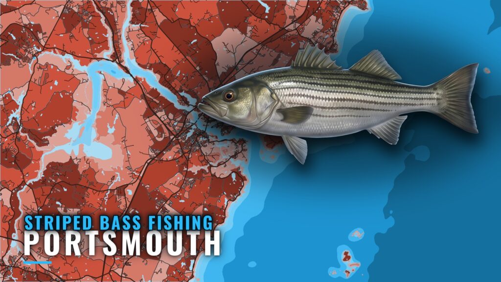
Striped bass fishing out of Portsmouth covers two kinds of water from one port: inside water on the Piscataqua River and Great Bay estuary, and outside water at the Isles of Shoals and the ledges beyond. This guide covers when the fish are around, where boats run, the grounds that hold them, how the fishery works locally, and who fishes it. Ramps, marinas and harbor navigation are on the Portsmouth port page.
When striped bass are around Portsmouth
Shoals Fly Fishing puts its striper season at late May to mid-October. Fish Taco describes a fishery that lasts through the summer and into fall. The Easterseals NH Striped Bass Tournament usually falls in July.
For migration and biology, see the striped bass species guide. For the wider Gulf of Maine and Northeast picture, see the Northeast striped bass guide (see also the Atlantic Northeast region guide).
Where Portsmouth boats run
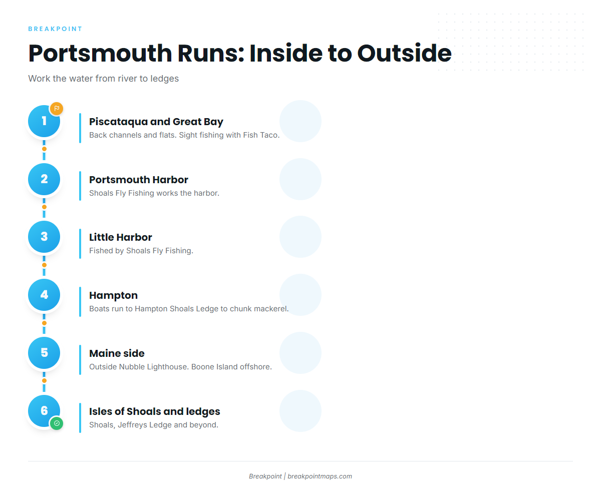
Boats run from inside water to outside: the river, estuary and harbors first, then Hampton, the Maine side, the Shoals and the ledges.
| Water | Where it sits | Local note |
|---|---|---|
| Piscataqua River and Great Bay | Inside | Fish Taco fishes both, plus the Merrimack River |
| Portsmouth Harbor and Little Harbor | Inside | Shoals Fly Fishing works both |
| Hampton and Hampton Shoals Ledge | South | Chunking mackerel |
| Outside Nubble Lighthouse | Maine coast near Cape Neddick | Maine waters |
| Isles of Shoals and the ledges | Offshore | Covered under grounds below |
Piscataqua River and Great Bay
Fish Taco lists the Piscataqua River, the Great Bay estuary, the Merrimack River and nearby Atlantic waters as water it fishes. It sight fishes the shallow back channels and flats; that method is covered below.
Portsmouth Harbor and Little Harbor
Shoals Fly Fishing works Portsmouth Harbor and Little Harbor, the closest runs from the river mouth.
Hampton
Boats run south to Hampton and Hampton Shoals Ledge to chunk mackerel.
Maine side
Boats also fish the water outside Nubble Lighthouse, on the Maine coast near Cape Neddick. Boone Island lies offshore in Maine. Both runs put you in Maine waters, so see the regulations section below.
Reading conditions at IOSN3
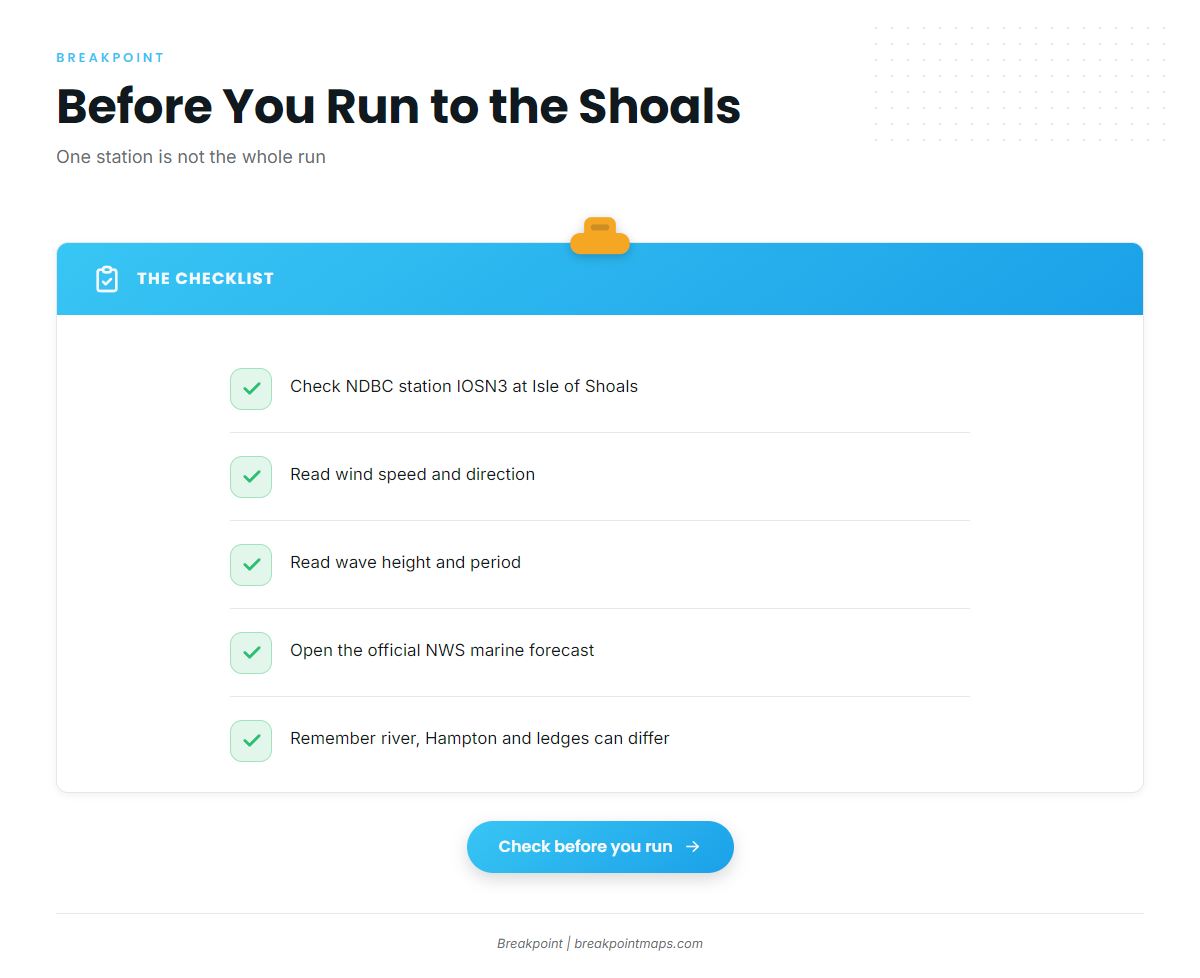
The nearest NOAA buoy is NDBC station IOSN3, a C-MAN station at Isle of Shoals, NH, at 42.967 N 70.623 W. It reports wind, wave height and wave period.
IOSN3 is a single point at the Shoals, and conditions at the river mouth, Hampton and the ledges can differ. Check it along with the official NWS marine forecast before running to the Shoals or the ledges.
Grounds and structure
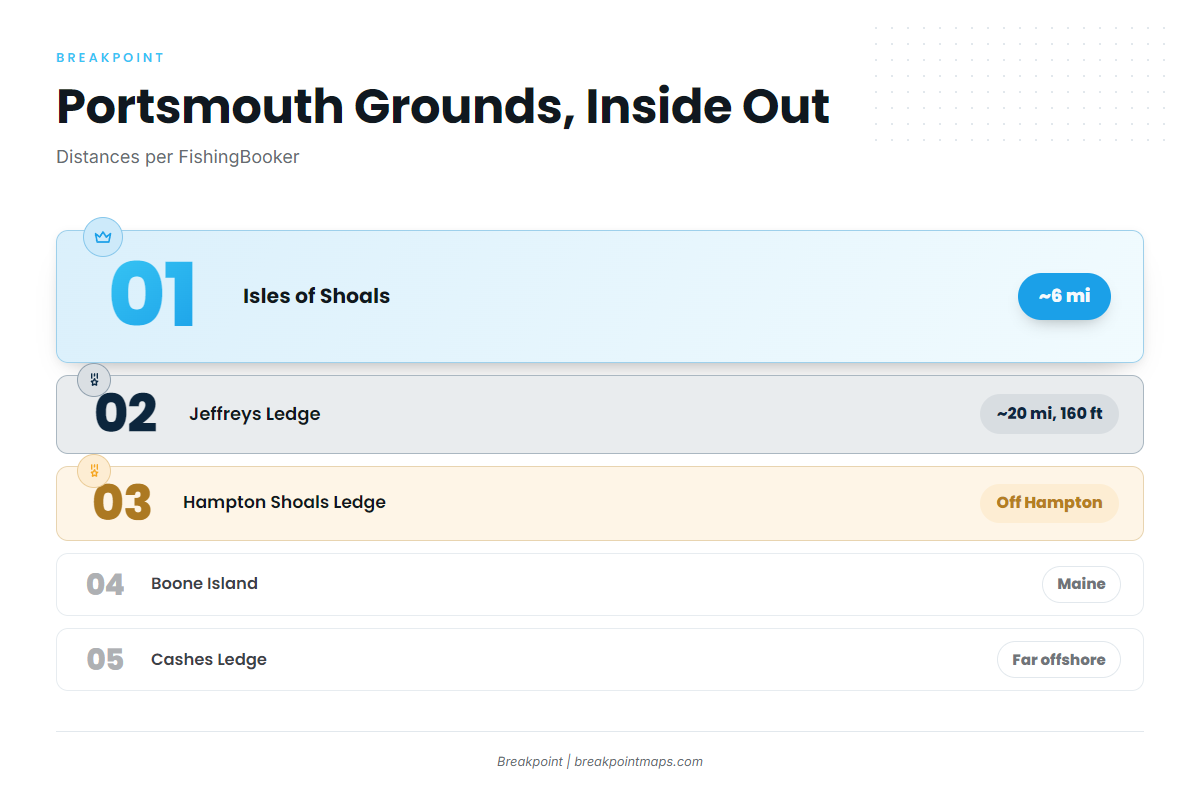
The Isles of Shoals and Jeffreys Ledge set the outer range. FishingBooker puts the Shoals about 6 miles off the coast and Jeffreys Ledge about 20 miles offshore in 160 ft.
| Ground | Distance | Depth | Note |
|---|---|---|---|
| Isles of Shoals | about 6 mi | IOSN3 sits here | |
| Hampton Shoals Ledge | Off Hampton, chunking mackerel | ||
| Jeffreys Ledge | about 20 mi | 160 ft | Farthest regular run |
| Boone Island | Offshore Maine | ||
| Outside Nubble Lighthouse | Maine, near Cape Neddick |
Isles of Shoals
The Shoals are about 6 miles off the coast. IOSN3 sits here, so you can check the water before you fish it.
Hampton Shoals Ledge
This is the local ground for chunking mackerel, off Hampton.
Platts Ledge and Scantum
Both are offshore structure fished from this coast. They make sense as step-out grounds once you know the Shoals.
Boone Island and Nubble Lighthouse
Boone Island is offshore Maine. The water outside Nubble Lighthouse is on the Maine coast near Cape Neddick. Both are Maine waters.
Jeffreys Ledge
Jeffreys Ledge is about 20 miles offshore in 160 ft, the farthest regular run covered here.
Cashes Ledge
Cashes Ledge is far offshore and better kept for a dedicated trip. For fish other than stripers, the coastal and offshore gamefish guides cover the rest of the water.
How stripers are fished from Portsmouth
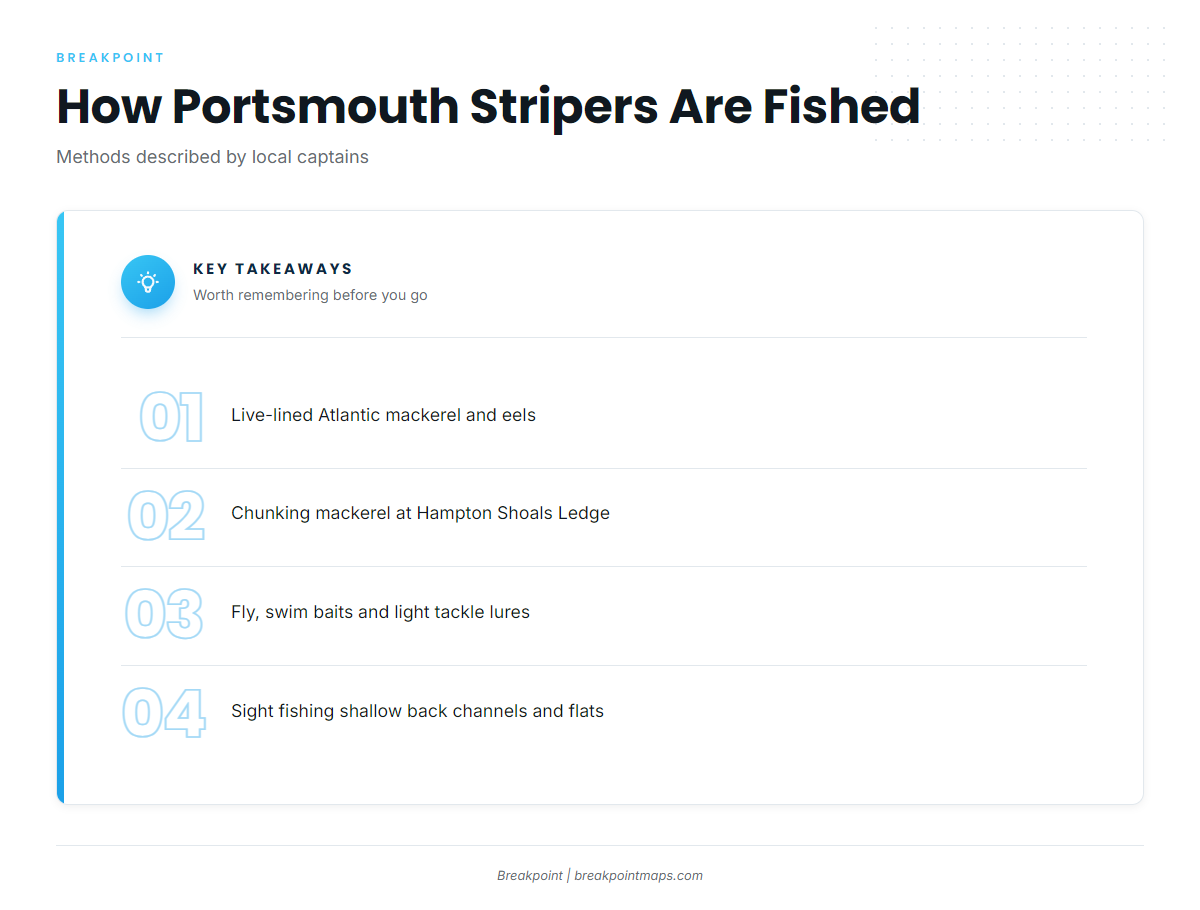
Local captains describe a short list of methods, each attributed below to the operator that describes it.
Live bait
Fish Taco and Shoals Fly Fishing describe live-lined Atlantic mackerel and eels as local methods. Chunking mackerel is the method at Hampton and Hampton Shoals Ledge.
Fly and light tackle
Fish Taco and Shoals Fly Fishing both report fly, swim baits and light tackle lures in local use. Shoals Fly Fishing works Portsmouth Harbor and Little Harbor.
Sight fishing
Fish Taco sight fishes the shallow back channels and flats. It is a visual method that suits the inside water.
Who fishes for stripers out of Portsmouth
Six local charters list striped bass.
Charters
- FirstFlight Charters
- Shoals Fly Fishing and Light Tackle
- Adventure and Catch Charters: Captain Andy, sails from Great Bay Marina, Newington
- Ledge Runner Charters: Capt. Elias Alexandropoulos on the 32 foot BHM Kiska B II
- Fish Taco with Captain Sean Tracey: meets guests at Portsmouth Marina
- F/V Lost: Captain DJ Daniels
Easterseals NH Striped Bass Tournament
The port’s striped bass tournament is the Easterseals NH Striped Bass Tournament, usually held in July.
FAQ: striped bass fishing out of Portsmouth
When is striper season in Portsmouth?
Shoals Fly Fishing puts it at late May to mid-October. Fish Taco describes the fishery lasting through summer into fall.
How far is the Isles of Shoals?
About 6 miles off the coast, per FishingBooker.
How deep is Jeffreys Ledge and how far out?
About 20 miles offshore in 160 ft, per FishingBooker.
Where do boats chunk mackerel?
Hampton and Hampton Shoals Ledge.
Which buoy should I check?
NDBC IOSN3, the C-MAN station at Isle of Shoals, NH (42.967 N 70.623 W). It reports wind, wave height and wave period. Pair it with the official marine forecast, since one station does not represent the whole run.
When is the Easterseals tournament?
Usually July.