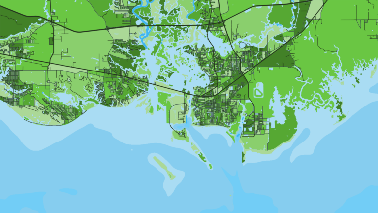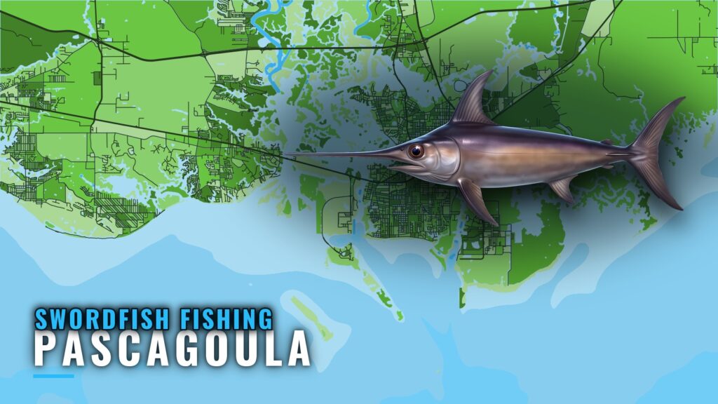
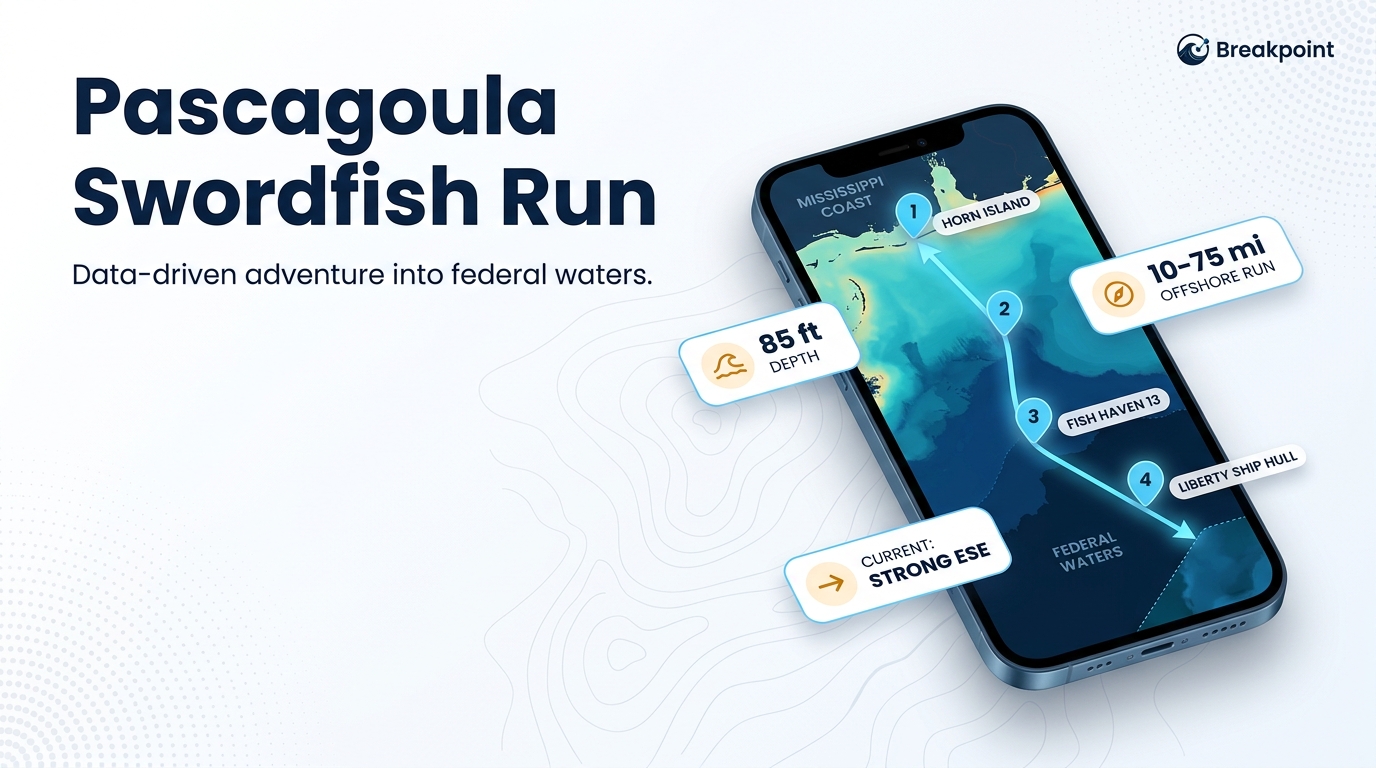
Swordfish fishing out of Pascagoula is a federal-waters trip, with boats running 10 to 75 miles offshore. Horn Island is the reference point you run past on the way out. This page covers the run, the named structure along it, who fishes it, and where the rules live. For the port’s wider fishing picture, see the Pascagoula port page.
When swordfish are around Pascagoula
The named reef structure near this port sits in 85 ft of water, which is too shallow for swordfish. Fish Haven 13 (85 ft) is a reference mark on the run, not a place to expect the fish.
Timing and depth are a Gulf-wide question. The Gulf of Mexico swordfish guide (see also the Gulf of Mexico offshore fishing guide) covers when the fish are around and where they sit.
How far boats run from Pascagoula
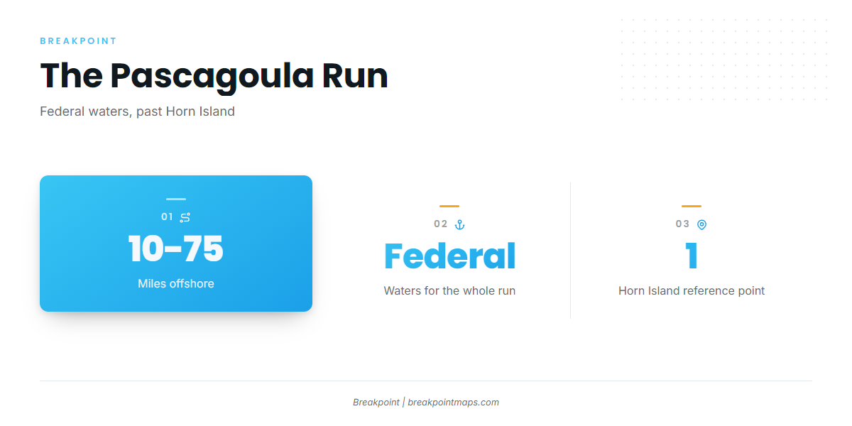
Boats run 10 to 75 miles offshore, into federal waters. The whole run is in federal water, so federal rules apply to the trip, and the Regulations section below points there for that reason.
Horn Island anchors the offshore leg and is the landmark the run is measured past.
Grounds and structure off Pascagoula
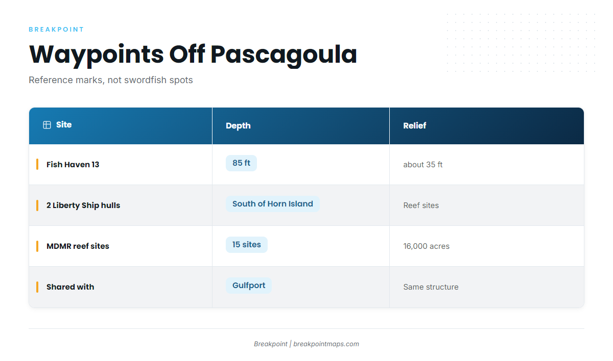
The named structure off Pascagoula is reef on or near the run. Use it for waypoints and reference marks; swordfish don’t hold on it.
| Site | Depth | Relief | Location note |
|---|---|---|---|
| Fish Haven 13 | 85 ft | about 35 ft | |
| 2 former Liberty Ship hulls | permitted reef sites south of Horn Island | ||
| MDMR permitted offshore reef sites | 15 sites, about 16,000 acres, shared with Gulfport |
Fish Haven 13
Fish Haven 13 sits in 85 ft of water and rises about 35 ft off the bottom. Treat it as a named mark on the way out.
The Liberty Ship hulls south of Horn Island
Two former Liberty Ship hulls sit on permitted reef sites south of Horn Island. They serve as landmark structure on the way offshore.
MDMR permitted offshore reef sites
Mississippi’s Department of Marine Resources runs the MDMR artificial reef program, which covers 15 permitted offshore sites, about 16,000 acres in all. Gulfport boats share them, so the same structure is in play from either port.
Chart layers are not for navigation.
How swordfish are fished from Pascagoula
Swordfish fishing out of Pascagoula starts with a long offshore leg into federal waters, with Horn Island as the reference point on the way out. For tackle, bait and drop technique, use the swordfish species guide.
Reading conditions on the run
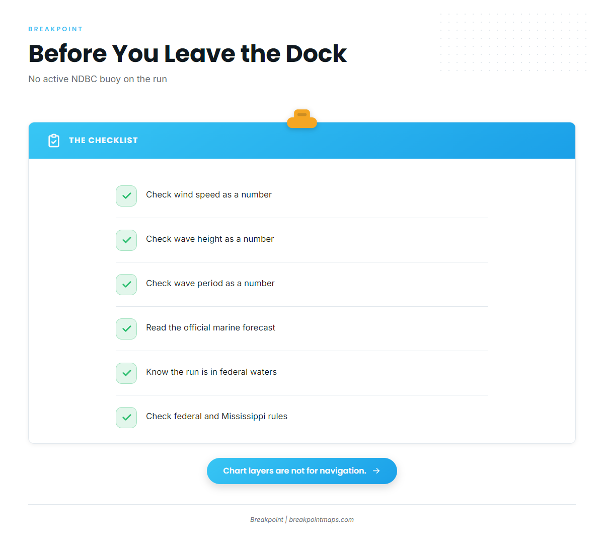
No active NDBC buoy reports from the water you cross on this run. Read wind, wave height and period as numbers, and check the NWS Mobile marine forecast before you leave the dock.
Who fishes them
Private boats run it. So does Pier Pressure Charters LLC, with Captain David Burlison, which lists swordfish. The charter is the local option for a guided first trip before running it alone. For more on booking one, see these billfish fishing guides.
FAQ: swordfish fishing out of Pascagoula
How far offshore do you run from Pascagoula?
Boats run 10 to 75 miles offshore, in federal waters, past Horn Island.
Do swordfish hold on Fish Haven 13?
No. Fish Haven 13 is reef structure at 85 ft, with about 35 ft of relief, and works as a waypoint. The swordfish species guide covers where the fish hold.
Is there a buoy near Pascagoula?
No active NDBC buoy reports from the water on this run. Check wind, wave height and period in the official marine forecast.
Who runs swordfish charters out of Pascagoula?
Pier Pressure Charters LLC, with Captain David Burlison, lists swordfish.
Which rules apply?
Federal HMS rules from NOAA Fisheries apply, along with Mississippi regulations. Check both before fishing.