When vermilion snapper are around Sarasota
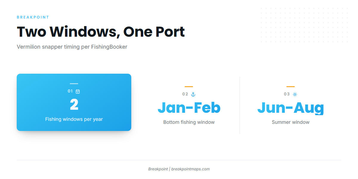
Vermilion snapper fishing out of Sarasota runs on two windows: January-February bottom fishing and June-August, both listed in FishingBooker’s Sarasota season notes. Every heading and distance on this page is measured from the New Pass Gulf marker off Sarasota. For the wider coast, see the vermilion snapper fishing in the Gulf of Mexico and the Gulf of Mexico offshore fishing guide.
This page works as a waypoint sheet. It covers how far boats run, which named reefs and ledges to put on the plotter, and how the fishing is done, so you can pick the ground that fits the day and your boat. It makes no promise of fish. Biology, depth range and identification are in our vermilion snapper guide.
Two seasons to plan around:
- January-February: bottom fishing on the reef and ledge grounds below
- June-August: the second window, same style of fishing
- Between windows: not listed here, so the grounds below carry no seasonal claim outside these months
How far boats run from New Pass
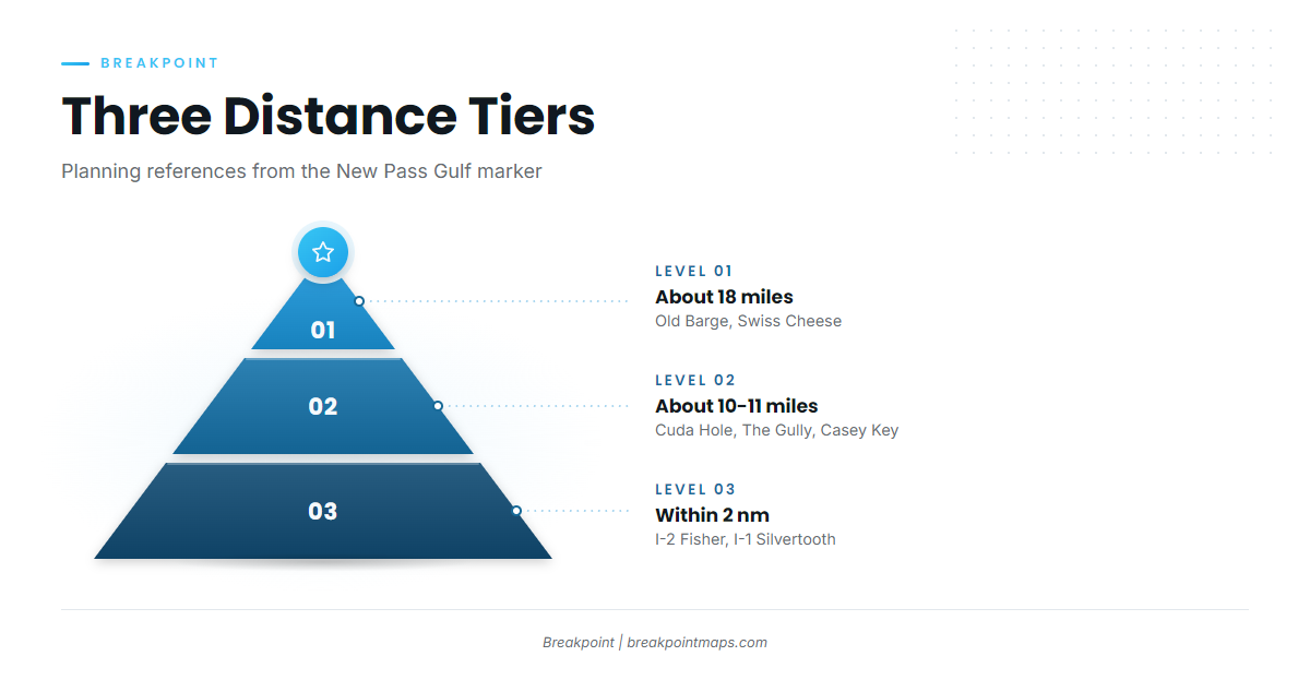
All headings on this page are magnetic, and all distances are measured from the New Pass Gulf marker. Use every number as a planning reference only, and confirm it against your chart and your own electronics before you run.
The named grounds fall into three tiers:
- Within 2 nm of the marker: I-1 Silvertooth and I-2 Fisher, plus Point of Rocks off Siesta Key beach
- About 10-11 miles: Cuda Hole / Table Rock, The Gully and the Casey Key ledges
- About 18 miles: Old Barge and Swiss Cheese
The tiers help match a ground to a short trip or a full day. The fishing at every tier is offshore reef and ledge bottom fishing.
Reading conditions before the run
The nearest NDBC station is C-MAN VENF1 at Venice, FL (27.072 N 82.453 W). Read it for wind, gusts and pressure, and check the official NWS marine forecast alongside it. Base the go/no-go call on those numbers rather than a general impression of the day.
Grounds and structure that hold vermilion
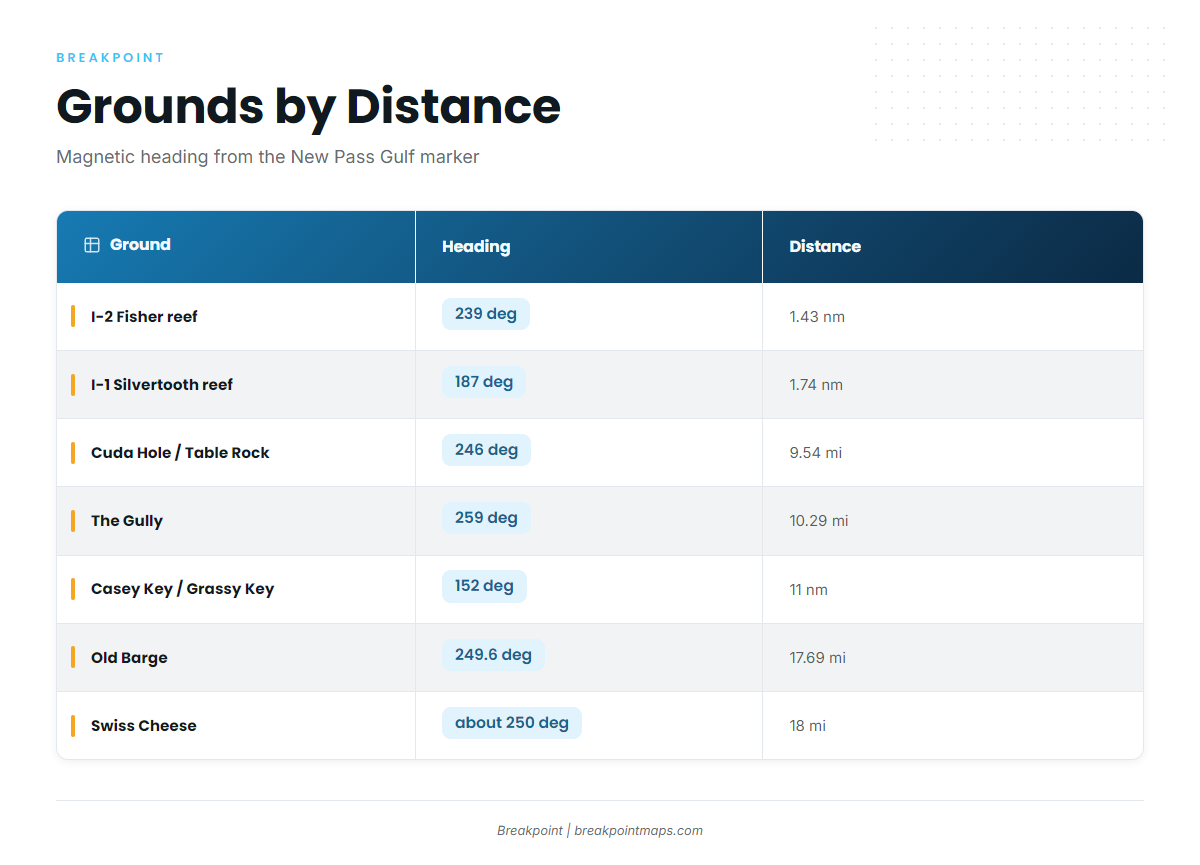
The table lists each named ground in order of distance from the New Pass Gulf marker. A cell reads "not listed" where we have no number. For the wider Gulf picture, see our Gulf reef fish guides.
| Ground | Depth | Heading (magnetic) | Distance from New Pass Gulf marker | Notes |
|---|---|---|---|---|
| I-2 Fisher reef | 30 ft | 239 degrees | 1.43 nm | |
| I-1 Silvertooth reef | 25 ft | 187 degrees | 1.74 nm | |
| Point of Rocks (Siesta Key) | not listed | not listed | not listed | Off Siesta Key beach |
| Cuda Hole / Table Rock ledge | 49 ft | 246 degrees | 9.54 miles | |
| The Gully | not listed | 259 degrees | 10.29 miles | |
| Casey Key Beach / Grassy Key ledges | 25 ft | 152 degrees | 11 nm | 5-8 ft ledges |
| Old Barge | 80 ft | 249.6 degrees | 17.69 miles | |
| Swiss Cheese | 70-85+ ft | about 250 degrees | 18 miles |
Swipe the table sideways to see every column.
Within 2 nm: I-2 Fisher, I-1 Silvertooth and Point of Rocks
I-2 Fisher reef sits in 30 ft, 1.43 nm at 239 degrees magnetic from the New Pass Gulf marker. I-1 Silvertooth reef sits in 25 ft, 1.74 nm at 187 degrees magnetic. Point of Rocks lies off Siesta Key beach.
About 10-11 miles: Cuda Hole / Table Rock, The Gully and Casey Key ledges
Cuda Hole / Table Rock ledge sits in 49 ft, 9.54 miles at 246 degrees magnetic from the New Pass Gulf marker. The Gully lies 10.29 miles out at 259 degrees magnetic. The Casey Key Beach / Grassy Key ledges are 5-8 ft ledges in 25 ft of water, 11 nm at 152 degrees magnetic. That heading runs south, unlike the westerly grounds in the table.
About 18 miles: Old Barge and Swiss Cheese
Old Barge sits in 80 ft, 17.69 miles at 249.6 degrees magnetic from the New Pass Gulf marker. Swiss Cheese sits in 70-85+ ft, about 18 miles at about 250 degrees magnetic.
How vermilion are fished out of Sarasota
Vermilion are caught by bottom fishing over offshore reef and ledge, the local method at every ground in the table. General technique belongs on the species guide linked above. The method stays the same from the near reefs to the 18 mile ground; the run, the depth and the share of your day the trip takes are what change.
Who fishes them from this port
Private boaters and charter customers both fish this bottom. Sarasota Offshore Fishing lists vermilion on its 8-10 hour trips. That length fits the 10-18 mile grounds in the table and gives a sense of how much of a day the farther runs take.
FAQ about vermilion snapper fishing out of Sarasota
What months are best for vermilion snapper out of Sarasota?
FishingBooker lists January-February bottom fishing and June-August as the vermilion windows out of Sarasota. Plan around those two stretches for the reef and ledge grounds in the table.
How far is Swiss Cheese from New Pass?
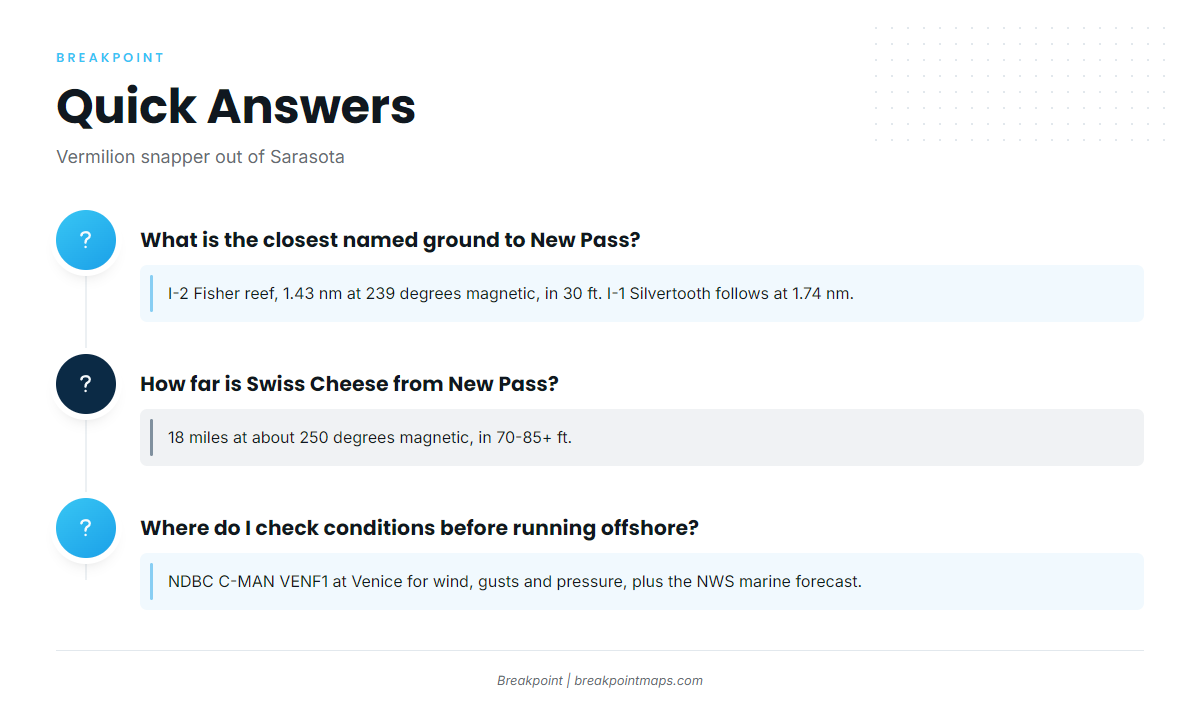
Swiss Cheese is 18 miles from the New Pass Gulf marker, at about 250 degrees magnetic, in 70-85+ ft. Old Barge sits just inside it at 17.69 miles and 249.6 degrees.
What is the closest named ground to New Pass?
I-2 Fisher reef is the closest, 1.43 nm at 239 degrees magnetic in 30 ft. I-1 Silvertooth follows at 1.74 nm and 187 degrees magnetic in 25 ft.
Where do I check conditions before running offshore?
Read NDBC C-MAN VENF1 at Venice (27.072 N 82.453 W) for wind, gusts and pressure, and check the official NWS marine forecast alongside it. Both give numbers, so you can judge the day against your own boat.
Where are the rules for vermilion snapper?
Florida Fish and Wildlife Conservation Commission sets the rules for state waters, and federal Gulf rules can apply farther out. The Regulations section above points to both pages. Limits are not restated here.