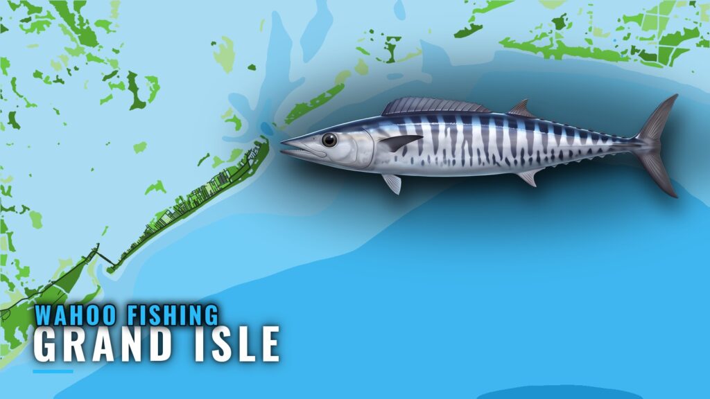
When wahoo fishing out of Grand Isle lines up
Wahoo fishing out of Grand Isle happens offshore, south of the passes. This page is a reference for running your own boat. It covers the named structure, the numbers that exist, and the points where the data stops.
For how wahoo move and feed, see the species page. For the Gulf-wide wahoo pattern (see also the Gulf of Mexico region guide), see the regional page. For this port, timing follows the local tournament calendar.
Tournament months
| Month | Event |
|---|---|
| May | Hurricane Hole Invitational |
| June | Creole Classic Fishing Tournament |
| July | International Grand Isle Tarpon Rodeo |
These are the usual months. Confirm dates with each event before you plan around them.
Where boats run
The fishing is offshore, south of the passes. No single run distance applies to the open offshore grounds. The distances that exist are tied to specific structure, listed below.
Barataria Pass and the No. 1 ATON
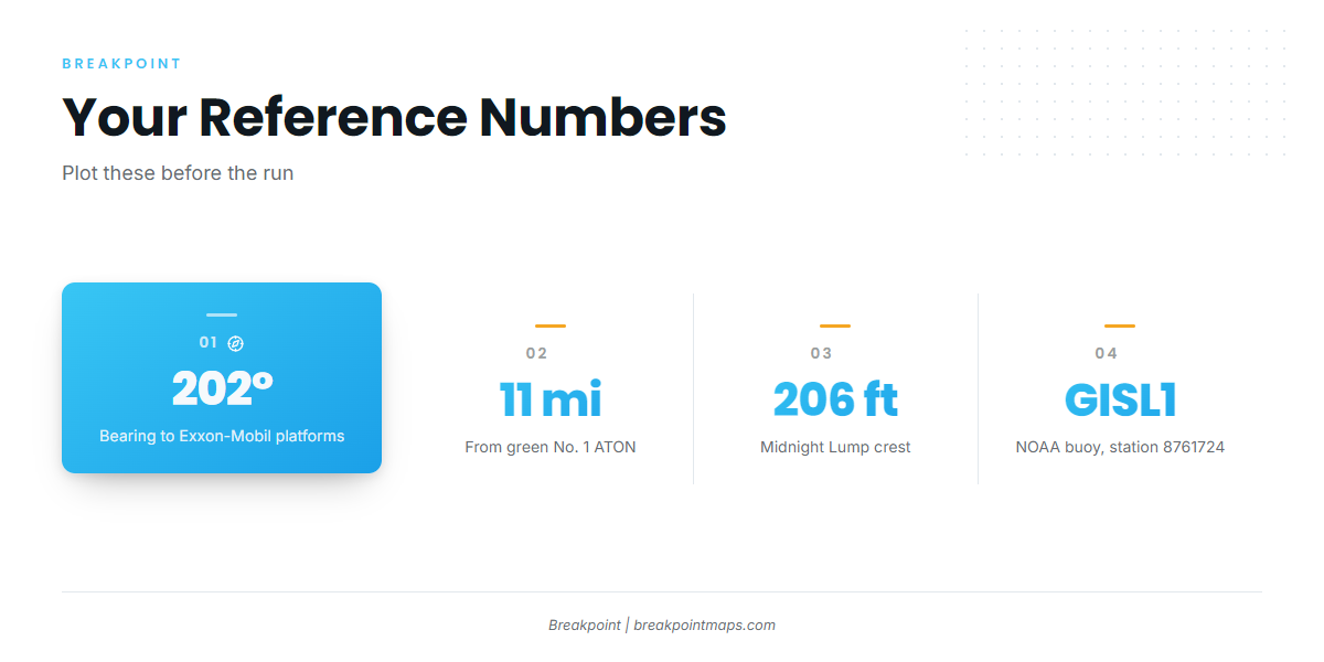
Barataria Pass is the departure pass, and the green No. 1 ATON is the reference point for the bearings on this page. For pass and channel detail, use the port page and the NOAA Coast Pilot Chapter 9.
Plot the reference and the platform group with Chart Contours on. Chart layers are not for navigation.
Reading conditions: GISL1
NOAA buoy GISL1 (station 8761724) sits at 29.265 N, 89.958 W. Pull the NOAA station GISL1 readings before the run.
GISL1 reads conditions at the island, not at the grounds. Check the wind, wave height and period numbers, then the official forecast, before you leave the dock.
Grounds and structure
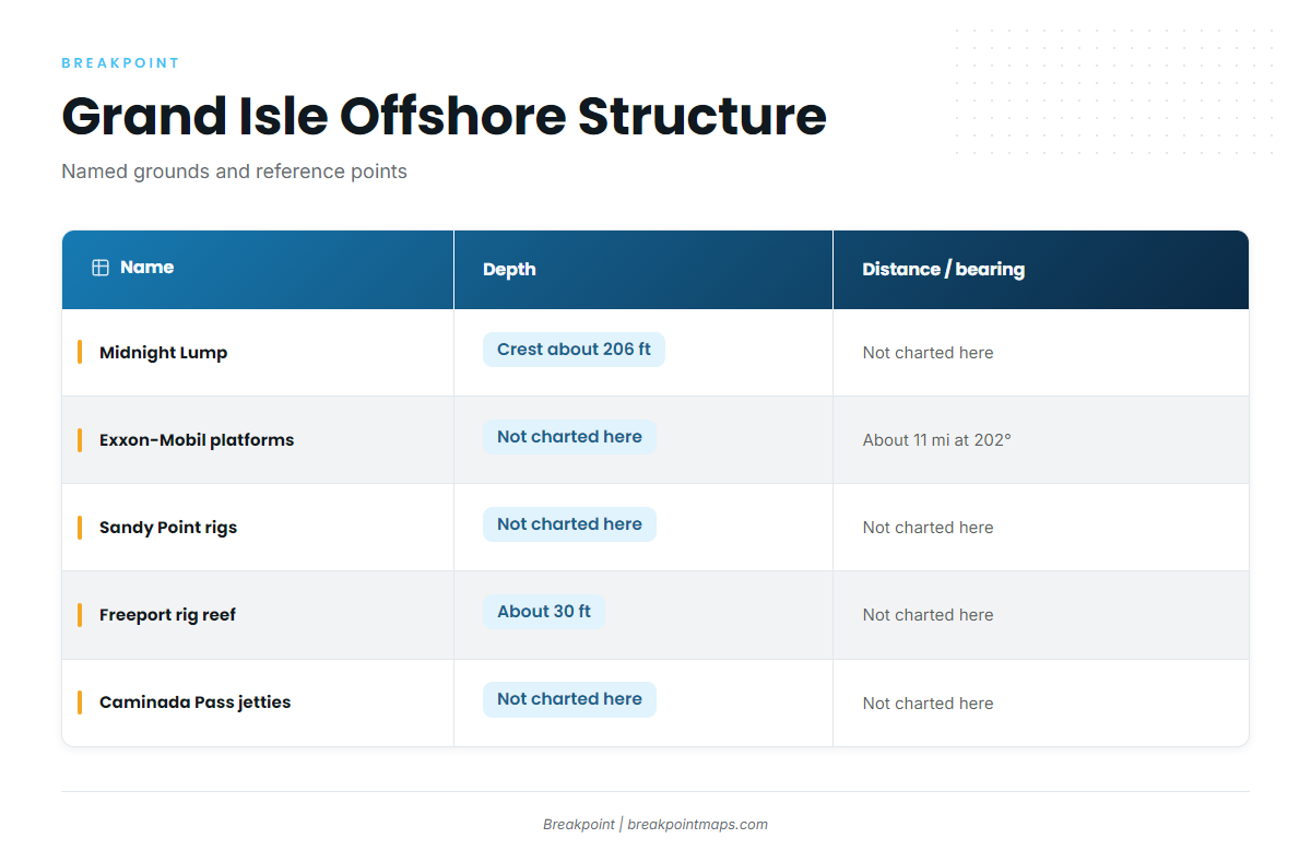
Midnight Lump is the named wahoo draw. The rigs, the reef and the jetties are named structure and reference points near the port.
| Name | Type | Depth | Distance / bearing |
|---|---|---|---|
| Midnight Lump (Sackett Bank) | Bank | Crest about 206 ft | Not charted here |
| Exxon-Mobil platforms | Platforms | Not charted here | About 11 miles at 202 degrees from green No. 1 ATON |
| Sandy Point rigs (West Delta platforms) | Platforms | Not charted here | Not charted here |
| Freeport sulphur rig reef (FLRA-27) | Artificial reef | About 30 ft | About 3.9 miles from the green No. 1 ATON |
| Caminada Pass jetties | Jetties | Not charted here | Not charted here |
Midnight Lump (Sackett Bank)
The crest sits at about 206 ft, so watch for that number on the sounder.
A Midnight Lump column from 2008 calls it "a draw for tuna and wahoo." That makes it a stop for both, which suits tournament teams working more than one species.
Exxon-Mobil platforms
These platforms lie southwest of Barataria Pass, about 11 miles at 202 degrees from the green No. 1 ATON. The group runs:
- L, BB, CC and 9M
- 019
- J, P, Q and R
- S, T, U and W
Sandy Point rigs (West Delta)
The West Delta platforms are Green Monster, MX-WD 23-3, MX-WD 24-4 and MX-WD 23-FLARE No. 3. No depth or distance is charted for these rigs here, so plot them and read your sounder.
Freeport sulphur rig reef (FLRA-27)
This reef sits in about 30 ft of water, about 3.9 miles from the green No. 1 ATON. The seed brief carries it as Grand Isle 9. Treat it as reference structure rather than a wahoo ground.
Caminada Pass jetties
The jetties are named structure at the west pass. No distance or bearing is given here.
How it’s fished here
Wahoo are on the port’s offshore species list, and the lump is the named draw. For methods, use the species guide. This page does not list spreads or speeds for the port.
Who fishes them out of Grand Isle
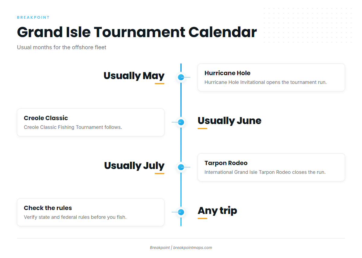
Wahoo share the boat with the other offshore gamefish the Grand Isle fleet chases. The port’s three tournaments set the calendar.
Hurricane Hole Invitational
Usually held in May, it opens the tournament calendar.
Creole Classic
The Creole Classic Fishing Tournament is usually held in June.
Tarpon Rodeo
The International Grand Isle Tarpon Rodeo is usually held in July.
FAQ: wahoo near Grand Isle
When are wahoo around Grand Isle?
Wahoo fishing out of Grand Isle centers on the local tournament months, usually May, June and July. The Gulf-wide pattern is on the regional page.
How deep is Midnight Lump?
The crest of Midnight Lump (Sackett Bank) is about 206 ft.
Where are the Exxon-Mobil platforms?
They lie southwest of Barataria Pass, about 11 miles at 202 degrees from the green No. 1 ATON.
What buoy do I check?
Check NOAA GISL1, station 8761724, at 29.265 N, 89.958 W. It reads conditions at the island, so pair it with the official forecast.
Which tournaments include wahoo?
The Hurricane Hole Invitational (usually May), the Creole Classic (usually June) and the International Grand Isle Tarpon Rodeo (usually July).
Where are the rules?
Offshore grounds can fall under state or federal rules. Check the Louisiana regulations and the federal dolphin-wahoo rules before fishing.