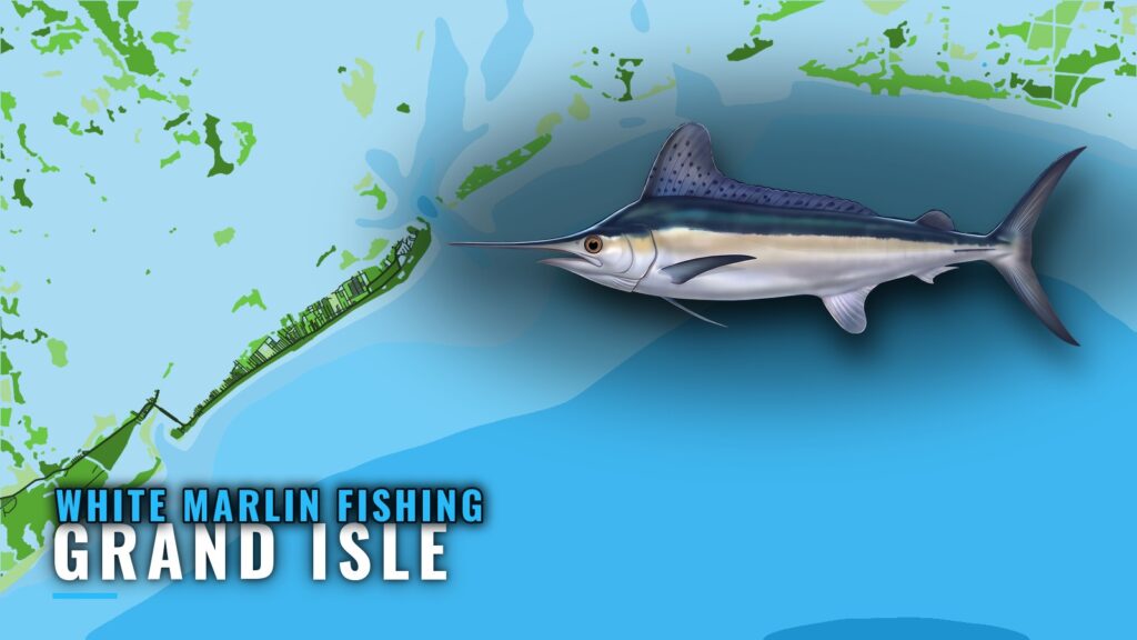
When white marlin fishing out of Grand Isle happens
The Grand Isle guide lists blue and white marlin together, and that is the season picture we have for this port. Species-by-season detail is on that page. Biology and general tactics are in our white marlin fishing guide.
Where boats run
Boats run offshore from Grand Isle, and no single ground is the destination, so you choose your structure from the list below. For the wider picture, see white marlin across the Gulf of Mexico (see also the Gulf of Mexico region guide).
You leave the island through Barataria Pass to the east or Caminada Pass to the west. The one bearing we have is measured from the green No. 1 ATON at Barataria Pass. Pass depths and current details are in NOAA Coast Pilot 5, Chapter 9.
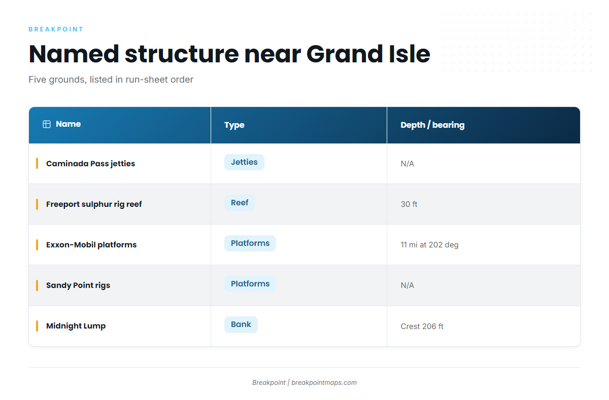
Grand Isle’s named offshore structure is listed below:
| Name | Type | Depth | Distance/bearing |
|---|---|---|---|
| Caminada Pass jetties | jetties | ||
| Freeport sulphur rig reef (FLRA-27, Grand Isle 9) | reef | 30 ft | About 3.9 miles from the green No. 1 ATON |
| Exxon-Mobil platforms southwest of Barataria Pass | platforms | About 11 miles at 202 degrees from the green No. 1 ATON | |
| Sandy Point rigs (West Delta platforms) | platforms | ||
| Midnight Lump (Sackett Bank) | bank | Crest about 206 ft |
Caminada Pass jetties
These are the jetties at Caminada Pass, on the west end of the island.
Freeport sulphur rig reef (FLRA-27)
The reef, also called Grand Isle 9, sits in 30 ft of water about 3.9 miles from the green No. 1 ATON.
Exxon-Mobil platforms southwest of Barataria Pass
The group lies about 11 miles at 202 degrees from the green No. 1 ATON. The platforms are:
- L, BB, CC, 9M and 019
- J, P, Q, R and S
- T, U and W
Sandy Point rigs (West Delta)
The West Delta platforms here are:
- Green Monster
- MX-WD 23-3
- MX-WD 24-4
- MX-WD 23-FLARE No. 3
Midnight Lump (Sackett Bank)
The crest is at about 206 ft. Chart Contours shows its shape. Chart layers are not for navigation.
How it’s fished and who fishes it
Methods
The methods named for this port are on the Grand Isle guide, so read them there before you rig.
Hurricane Hole Invitational
The Hurricane Hole Invitational fishes for white marlin out of Grand Isle and is usually held in May.
The wider billfish picture
For the rest of the billfish, see our billfish fishing guides.
Reading conditions before the run
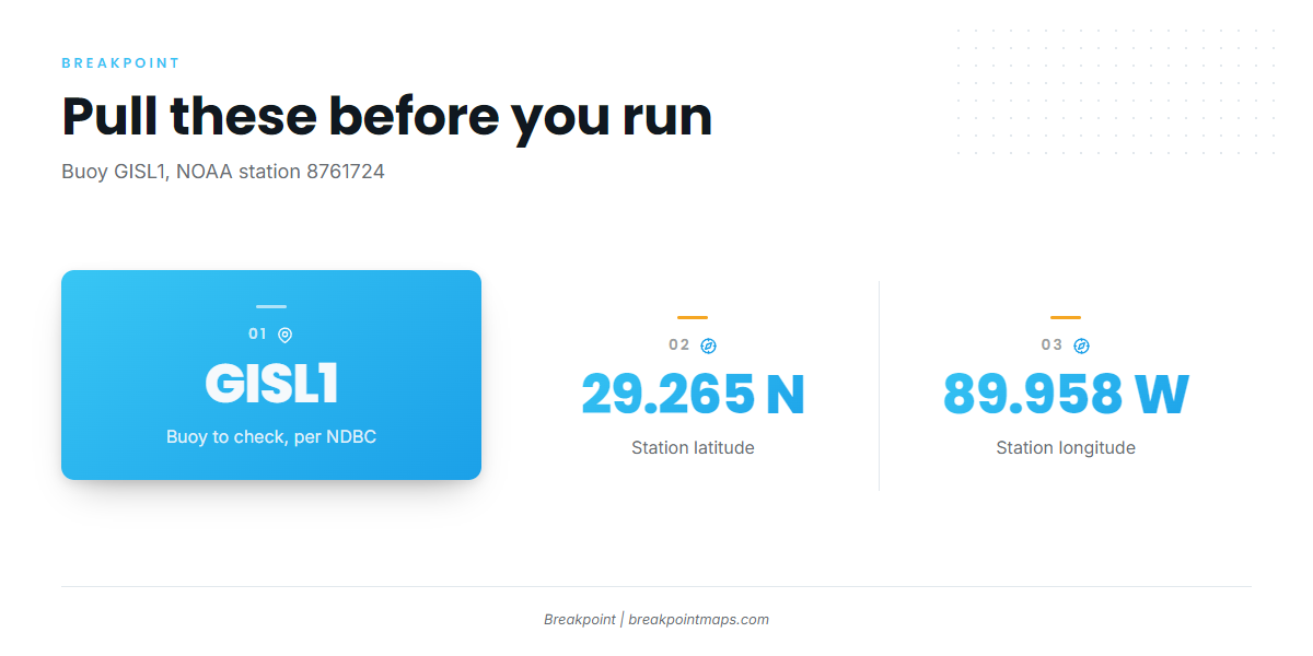
The nearest NOAA buoy is GISL1 (NOAA station 8761724), Grand Isle, LA, at 29.265 N, 89.958 W. Its GISL1 NDBC station page carries the live readings.
Pull wind, wave height and period before the run, then check the official NOAA marine forecast. The station reports conditions at the island, not at the offshore grounds.
FAQ
When is white marlin fishing out of Grand Isle?
The Grand Isle guide lists blue and white marlin together. Check that port page for the season, since we don’t give months here.
What is the depth at Midnight Lump?
The crest is at about 206 ft. The bank is also known as Sackett Bank. Chart Contours shows the crest. Chart layers are not for navigation.
Which buoy should I check before running offshore?
Check GISL1, NOAA station 8761724, at 29.265 N, 89.958 W. Pull wind, wave height and period, then check the official forecast. The buoy reads conditions at the island, not offshore.
What tournament fishes for white marlin out of Grand Isle?
The Hurricane Hole Invitational fishes for white marlin out of Grand Isle. It is usually held in May.
Where are the rules for billfish from Grand Isle?
State rules are on the Louisiana regulations page and federal rules are on the billfish and swordfish rules page, both linked above. Check both before fishing.