Yellowfin fishing out of Georgetown, South Carolina, is a spring and summer offshore run. It starts at the Winyah Bay channel and works out past a string of named reefs. This guide is written for anglers running their own boat from this port and covers only this port.
It gives the season window, the one published heading and distance from channel buoy 2WB, 8 named reefs from 12 to 110 ft, the local methods, and the nearest NOAA station along with what it can and cannot read. None of it promises fish. It should help you decide where to look and what to check before you run.
When yellowfin are off Georgetown
According to FishingBooker’s Georgetown fishing listing, yellowfin are a spring and summer offshore target out of Georgetown, alongside mahi and wahoo. The listing gives seasons rather than months, so plan around spring and summer and read conditions trip by trip.
Mahi and wahoo share the same offshore water on the same trips. Biology, temperature range and behavior are covered in our yellowfin tuna fishing guide. For the wider picture beyond this port, see yellowfin off the Atlantic Southeast (see also the Atlantic Southeast fishing guide).
Season at a glance:
- Spring and summer: yellowfin, mahi and wahoo are the listed offshore targets.
- Months: not given in the listing, so none are stated here.
- Same-trip species: mahi and wahoo.
Where boats run and the grounds that hold structure
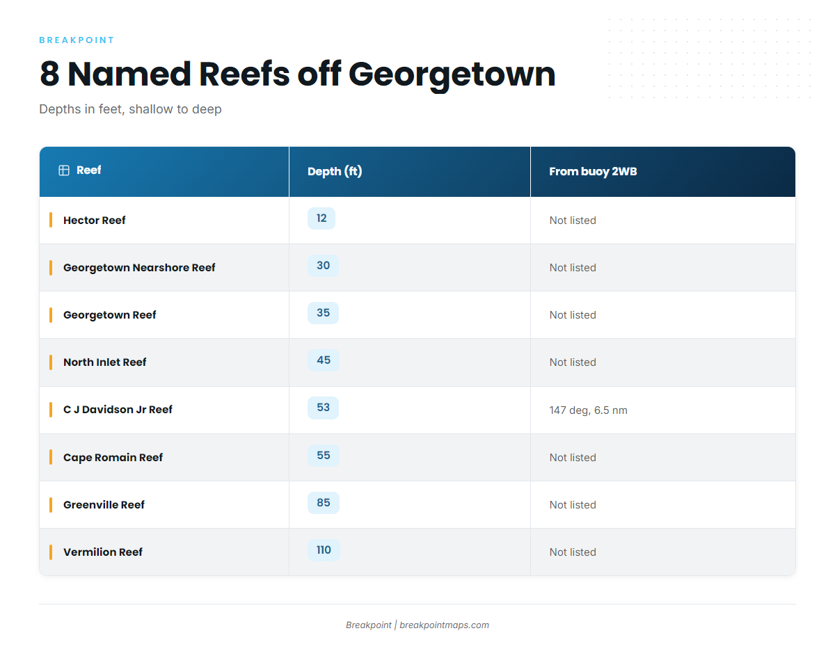
Boats leave Winyah Bay past channel buoy 2WB. The one published heading from that buoy is 147 degrees, 6.5 nm, to C J Davidson Jr Reef. The South Carolina artificial reef locations list the named reefs below, and each one works as a waypoint along the run.
Leaving buoy 2WB
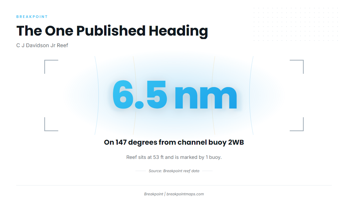
The 147-degree bearing and 6.5 nm distance are measured from channel buoy 2WB, not from the jetties or the town. If you build waypoints, set 2WB as the origin.
C J Davidson Jr Reef sits at 53 ft and is marked by 1 buoy, the only mark in this set with a marking buoy listed. The other 7 marks are given by name and depth only, with no run distance.
Nearshore marks
From shallow to deep, the named structure runs in this order:
- Hector Reef, 12 ft
- Georgetown Nearshore Reef, 30 ft
- Georgetown Reef, 35 ft
- North Inlet Reef, 45 ft
- C J Davidson Jr Reef, 53 ft
- Cape Romain Reef, 55 ft
These are named structure and waypoints on the way out. We are not saying yellowfin hold on them.
Deeper marks
Greenville Reef at 85 ft and Vermilion Reef at 110 ft are the deepest named marks in the set. That describes depth only and says nothing about what holds there.
| Reef | Depth (ft) | Bearing and distance from buoy 2WB | Marking |
|---|---|---|---|
| Hector Reef | 12 | not listed | not listed |
| Georgetown Nearshore Reef | 30 | not listed | not listed |
| Georgetown Reef | 35 | not listed | not listed |
| North Inlet Reef | 45 | not listed | not listed |
| C J Davidson Jr Reef | 53 | 147 degrees, 6.5 nm | 1 buoy |
| Cape Romain Reef | 55 | not listed | not listed |
| Greenville Reef | 85 | not listed | not listed |
| Vermilion Reef | 110 | not listed | not listed |
These 8 marks are layered in the Breakpoint app, so you can build waypoints from them. Chart layers are not for navigation. Check every mark against the NOAA Coast Pilot for Winyah Bay and the official chart before you run.
How yellowfin are fished out of Georgetown
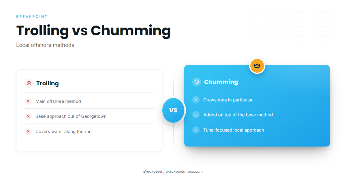
According to FishingBooker, trolling is the main offshore method out of Georgetown, and chumming is the local way to draw in tuna specifically.
Trolling
Trolling is the base method offshore here. You cover water with lines in the spread while moving between marks.
Chumming
Chumming targets tuna specifically. It works as an addition to a trolling day, used once you are on a mark you want to hold.
Rigging and technique are covered in our tuna fishing methods pages.
Who fishes for yellowfin out of Georgetown
Offshore anglers out of Georgetown target yellowfin in spring and summer alongside mahi and wahoo, using the trolling and chumming that FishingBooker describes for the port. This guide is written for owner-operators running their own boats out of Winyah Bay, where planning the run before leaving the dock matters.
Checking conditions at NIWS1
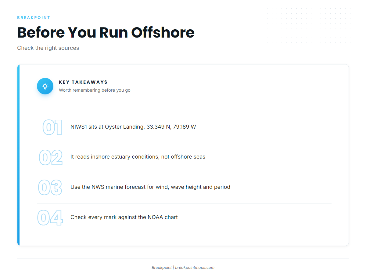
The nearest NOAA station is NOAA NDBC station NIWS1 at Oyster Landing, in the North Inlet-Winyah Bay Reserve (33.349 N, 79.189 W). NIWS1 reads inshore estuary conditions, not offshore seas.
Before you run offshore, check the official NWS marine forecast for wind, wave height and period.
What each source tells you:
- NIWS1: inshore estuary conditions at Oyster Landing.
- NWS marine forecast: wind, wave height and period offshore.
- Your own read at buoy 2WB: what the water looks like before you commit to the run.
FAQ: yellowfin tuna fishing out of Georgetown
When is yellowfin season out of Georgetown?
Spring and summer, per FishingBooker, alongside mahi and wahoo. The listing gives seasons, not months.
How far is C J Davidson Jr Reef from buoy 2WB?
It is 6.5 nm on 147 degrees from channel buoy 2WB. The reef sits at 53 ft and is marked by 1 buoy. It is the only mark in the set with a published heading and distance.
What is the deepest named reef near Georgetown?
Vermilion Reef at 110 ft, followed by Greenville Reef at 85 ft. We make no claim about fish holding on either one.
What methods are used for yellowfin locally?
Trolling is the main offshore method. Chumming draws in tuna specifically, per FishingBooker.
Which buoy should I check, and what does it measure?
NOAA NDBC NIWS1 at Oyster Landing (33.349 N, 79.189 W). It reads inshore estuary conditions, not offshore seas. Use the NWS marine forecast for wind, wave height and period.