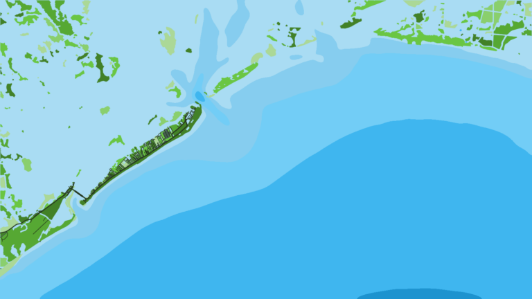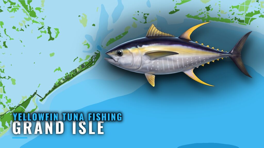
Yellowfin tuna fishing out of Grand Isle happens in about 200 ft of water, at Midnight Lump and the rigs south of the passes. Runs start at Barataria Pass or Caminada Pass, and the bearings below come from the green No. 1 ATON at Barataria Pass.
Passes, ramps and marinas are covered in the Grand Isle port guide, so this page does not repeat them. For biology and general seasonality, see the yellowfin tuna species guide.
The sections below cover season, where boats run, the structure that holds fish, how the trip is fished locally, and who fishes for yellowfin from this port.
When Yellowfin Are Around Grand Isle
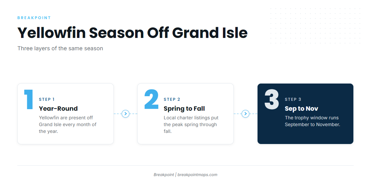
Yellowfin are here year-round, with a peak window and a trophy window layered on top. Three layers are worth planning dates against:
| Layer | Window | What it means for your trip |
|---|---|---|
| Presence | Year-round | Fish are around in every month |
| Peak | Spring through fall | More boats make the run |
| Trophy | September to November | Larger fish are the target |
Year-Round Fish
Yellowfin are present off Grand Isle in every month, and there is no closed stretch when the grounds go empty.
Spring Through Fall Peak
Local charter listings put the peak at spring through fall, when more boats make the run.
September to November for Trophy Fish
If size is the goal, plan around the trophy window of September to November. The species guide linked above covers why fish behave this way across the Gulf.
Where Boats Run
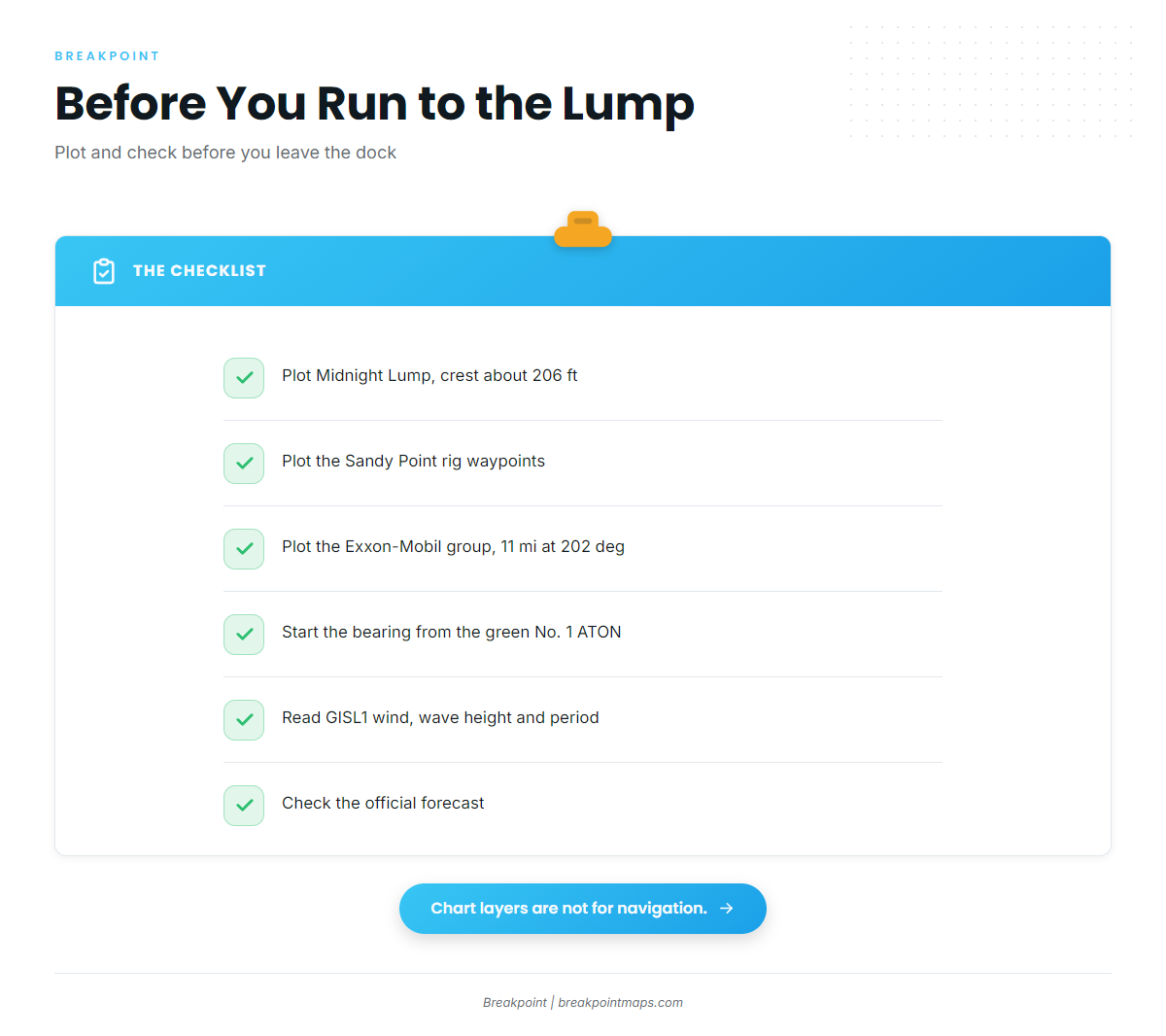
Boats run to Midnight Lump and to the rigs. The Gulf of Mexico yellowfin guide (see also the Gulf of Mexico fishing guide) covers the regional rig and lump picture; this section covers what is specific to this port.
Navigation here depends on bearings from a fixed aid, so plot them before you leave the dock.
Midnight Lump
Midnight Lump, also charted as Sackett Bank, has a crest at about 206 ft, which sits right at the 200 ft working depth for yellowfin here.
The Chart Contours layer shows the crest and the edges that fall away from it. Chart layers are not for navigation.
The Rigs
Two rig groups carry most of the local effort:
- Sandy Point rigs. These are the West Delta platforms, listed in the next section.
- Exxon-Mobil platforms southwest of Barataria Pass. They sit about 11 miles at 202 degrees from the green No. 1 ATON.
Reading Conditions Before the Run (GISL1)
NOAA NDBC station GISL1 (station 8761724) is at Grand Isle, 29.265 N, 89.958 W. The NOAA station GISL1 readings give wind, wave height and period as numbers. Check the official NWS marine forecast before you commit to the run.
Grounds and Structure That Hold Fish
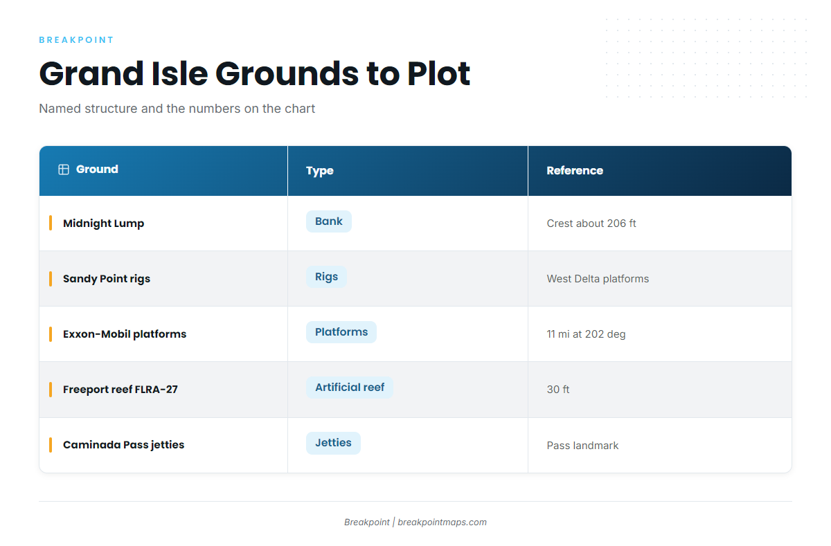
Plot these before you leave the dock. The table lists each named ground and what is known about it.
| Name | Type | Depth | Reference |
|---|---|---|---|
| Midnight Lump (Sackett Bank) | bank | crest about 206 ft | |
| Sandy Point rigs (West Delta platforms) | rigs | ||
| Exxon-Mobil platforms SW of Barataria Pass | platforms | about 11 miles at 202 degrees from green No. 1 ATON | |
| Freeport sulphur rig reef (FLRA-27, Grand Isle 9) | artificial reef | 30 ft | |
| Caminada Pass jetties | jetties |
Sandy Point Rigs
The West Delta platforms to plot:
- Green Monster
- MX-WD 23-3
- MX-WD 24-4
- MX-WD 23-FLARE No. 3
Exxon-Mobil Platforms
These platforms lie southwest of Barataria Pass, at the bearing given in the table. The structures are:
- L
- BB
- CC
- 9M
- 019
- J
- P
- Q
- R
- S
- T
- U
- W
Nearshore Landmarks
These are waypoints on the way out and are not tuna grounds. The Freeport sulphur rig reef, FLRA-27 and known as Grand Isle 9, sits in 30 ft. The Caminada Pass jetties serve as a landmark for boats leaving by Caminada Pass.
How Yellowfin Are Fished Out of Grand Isle
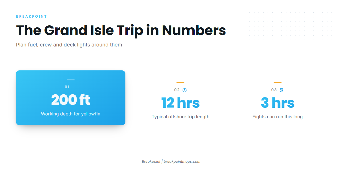
The local trip is long, often overnight, and fished in deep water. For tackle and technique beyond port facts, see the tuna fishing guides.
12-Hour and Overnight Trips
Offshore trips run about 12 hours. Overnight trips are common because yellowfin are active at night.
Plan fuel to cover the full window, a crew rotation, and deck lights for fishing after dark.
Fishing 200 Feet and Deeper
Local charter listings show yellowfin fished at 200+ ft. The 206 ft crest at Midnight Lump falls inside that range.
Planning for a 3-Hour Fight
Fights can run about 3 hours. Decide in advance who takes the rod and who runs the boat, and expect the boat to drift off the structure you were fishing.
Who Fishes for Yellowfin Here
Both charter boats and private boats work these grounds. The local charter that lists yellowfin and the port’s tournament are covered below.
Bentrod Fishing Charters
Bentrod Fishing Charters (The Bent Rod) lists yellowfin tuna. The boat is a 32 ft Twin Vee offshore catamaran with twin 300 HP Suzuki engines, carrying 6 passengers. It is a useful reference for sizing your own boat against the twin-engine catamarans that run this water.
International Grand Isle Tarpon Rodeo
The International Grand Isle Tarpon Rodeo is the port’s tournament, usually held in July.
FAQ: Yellowfin Tuna Fishing Out of Grand Isle
When is the best time for yellowfin out of Grand Isle?
Fish are present year-round. Local listings put the peak at spring through fall, and trophy fish run September to November.
How deep is Midnight Lump?
The crest of Midnight Lump (Sackett Bank) sits at about 206 ft.
Why do Grand Isle boats fish overnight for yellowfin?
Yellowfin are active at night, so overnight trips are common.
How long do yellowfin trips out of Grand Isle run?
About 12 hours, often extending overnight. Fights alone can take about 3 hours.
Where do I check conditions before the run?
Use NOAA NDBC station GISL1 (8761724) at Grand Isle, 29.265 N, 89.958 W. Read wind, wave height and period there, and check the official forecast.