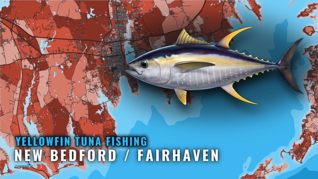
Yellowfin fishing out of New Bedford and Fairhaven is a summer canyon program. Local boats run 100+ miles each way to the Gulf Stream canyons and leave overnight so lines are in at first light. The harbor itself is covered in our New Bedford / Fairhaven port guide. Below: when the fish are around, how far boats go, what you pass on the way out, and who runs trips.
When Yellowfin Are Here
B3 and Worth The Weight list their offshore tuna trips as summer-season trips, and the local offshore program is built around that window. It is a listing window, though, and says nothing about fish on any given day.
The species picture is in our yellowfin tuna fishing guide. What follows stays with this port.
- Season shown by local listings: summer
- Trip type listed: offshore tuna trips
- Departure ports: New Bedford and Fairhaven
Where Boats Run
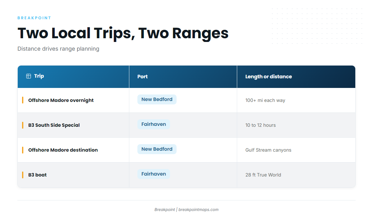
The Offshore Madore overnight canyon trip runs 100+ miles each way to the Gulf Stream canyons. B3 Charters runs a different trip, the South Side Special from Fairhaven, at 10 to 12 hours.
If you’re taking your own boat, the 100+ miles each way is the figure that sets range and fuel planning, so work that out first. For the wider canyon picture, see our guide to the Northeast canyon yellowfin picture (see also the Atlantic Northeast region guide). You can plot the route on a chart before the trip, but chart layers are not for navigation.
| Trip | Port | Length or distance | Boat |
|---|---|---|---|
| Offshore Madore overnight canyon trip | New Bedford | 100+ miles each way, Gulf Stream canyons | Not listed |
| B3 Charters South Side Special | Fairhaven | 10 to 12 hours | 28 foot True World by Master Marine |
Grounds and Structure on the Way Out
These are inshore features you cross or pass on the way out of Buzzards Bay. The yellowfin trips run to the canyons, and none of these is listed as a yellowfin ground.
Great Ledge
Great Ledge lies just offshore of New Bedford Harbor.
Dumpling Rocks, Sandspit and Mishaum Ledge
Dumpling Rocks and Sandspit sit off Round Hill, Dartmouth, along with Great Ledge. Mishaum Ledge is described as nearby the Dumpling Rocks trio.
West Island ledges
These are rocky ledges at West Island, Fairhaven.
Sow and Pigs Reef
Sow and Pigs Reef lies off the western end of Cuttyhunk, in the Elizabeth Islands. The reef’s charted extent is in Coast Pilot chapter 5.
Quicks Hole
Quicks Hole is a passage through the Elizabeth Islands.
Cleveland Ledge
Cleveland Ledge is a named Buzzards Bay feature.
How It’s Fished Locally
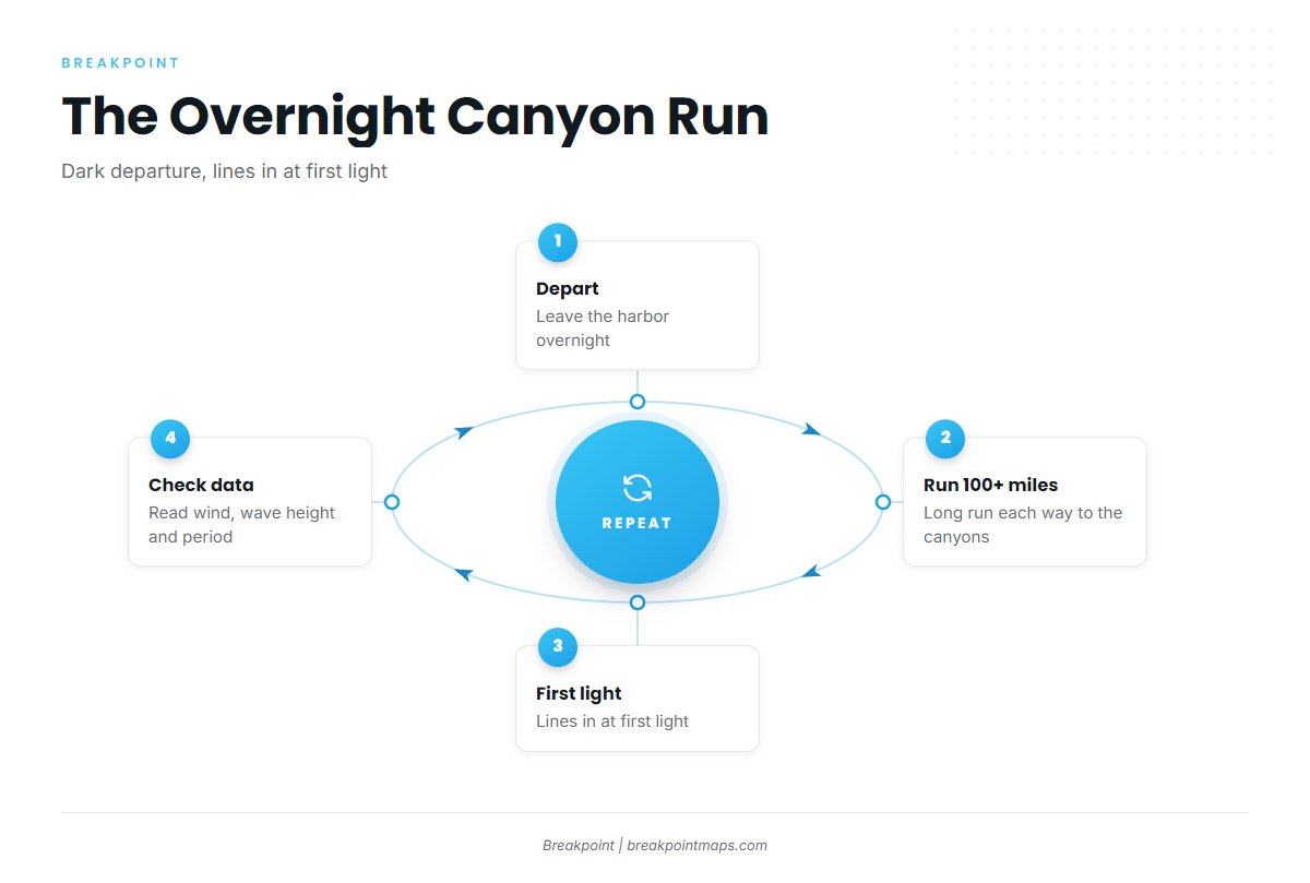
Boats run overnight so lines are in at first light. With a 100+ mile run, the departure has to happen in the dark.
The nearest NOAA station is NDBC C-MAN station BUZM3, Buzzards Bay, at 41.397N 71.033W. See the NDBC station BUZM3 readings. It shows what the bay is doing on your way out but cannot see the canyons.
Read wind, wave height and period from the station, then check the official Buzzards Bay coastal waters forecast before you commit. Those numbers should decide the trip. Nothing here promises fish.
Who Fishes Them Out of This Port
Three local charters list yellowfin tuna. For a broader comparison, see our tuna fishing guides.
Offshore Madore
Captain Alex Madore runs the overnight canyon trip, 100+ miles each way. See the Offshore Madore charter site.
B3 Charters
B3 Charters, also known as Buzzards Bay Bear Charters, runs a 28 foot True World by Master Marine. The South Side Special leaves from Fairhaven and runs 10 to 12 hours. See the B3 Charters trip listings.
Strike 2 Fishing Charters
Captain Bruce Calvin runs a 30 ft Black Watch (1990). See the Strike 2 Fishing Charters listing.
FAQ
When are yellowfin caught out of New Bedford?
For yellowfin tuna fishing out of New Bedford / Fairhaven, local charters list their offshore tuna trips as summer-season trips. The listings show a window, not a guarantee of fish.
How far do boats run for yellowfin?
Boats run 100+ miles each way to the Gulf Stream canyons on an overnight canyon trip.
How long is the B3 South Side Special?
It runs 10 to 12 hours, from Fairhaven.
Do the Buzzards Bay ledges hold yellowfin?
They are inshore landmarks you pass on the way out. The yellowfin trips run to the canyons.
What buoy should I check?
NDBC BUZM3, at 41.397N 71.033W. It reads Buzzards Bay, not the canyons, so pair it with the official marine forecast.
Which local charters list yellowfin?
Offshore Madore, B3 Charters and Strike 2 Fishing Charters.