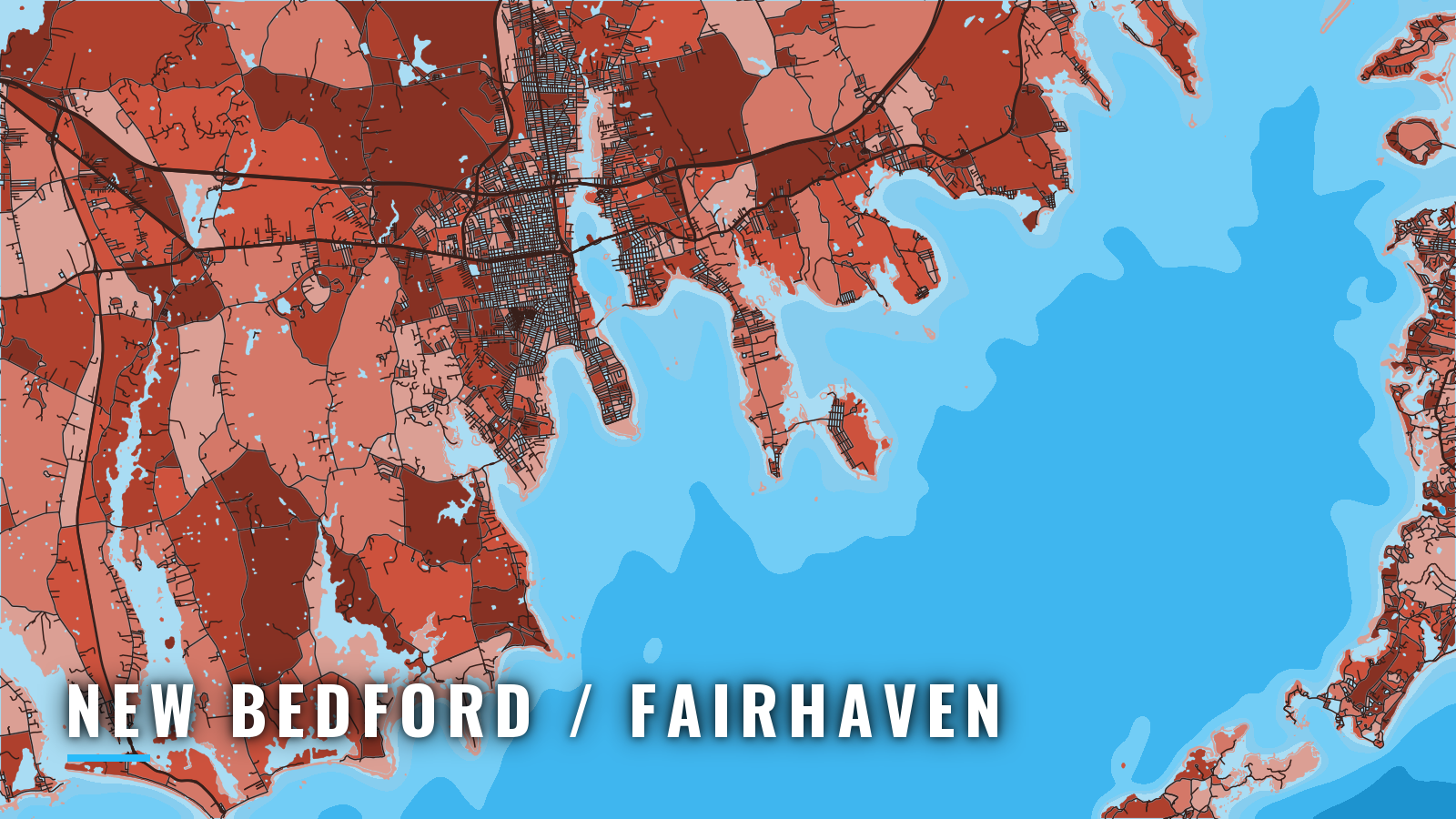

About New Bedford / Fairhaven
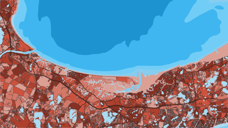
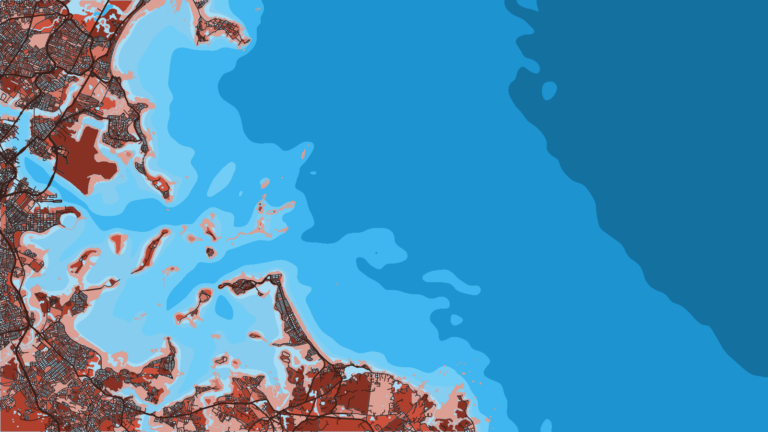
New Bedford and Fairhaven share one harbor on the northwest side of Buzzards Bay, entered through a 150-foot gated opening in the hurricane barrier. Boats run from here into Buzzards Bay and out to the Elizabeth Islands, including Cuttyhunk. The bay fishes from spring through autumn for striped bass, tautog, scup, black sea bass, bluefish, fluke and, in autumn, false albacore. For the wider picture, see what runs across the Atlantic Northeast.
Every angler 16 and older needs a Massachusetts saltwater fishing permit. It costs $10 for ages 16 to 59, and anglers 60 and over still need the free permit. Check Massachusetts sizes, bags and seasons before you fish. This page covers where to launch, which way out, what to do when the southwest breeze fills in, and where to look by season.
Access and navigation
Four public ramps and four fuel or transient stops sit on the New Bedford and Fairhaven sides of the harbor.
- Pease Park (Jim Holmes Memorial Boat Ramp) – Fairhaven, northernmost ramp inside the barrier, 2 lanes, dinghy storage.
- Gifford Street Boat Ramp – New Bedford, city ramp.
- East Rodney French Boulevard Boat Ramp – New Bedford.
- Hoppy’s Landing – Fairhaven, opens directly on the bay, sand shoal and rock piles until south of West Island.
- Fairhaven Shipyard – transient dockage, diesel and gas.
- Pope’s Island Marina – transient slips and moorings, fuel.
- Sea Fuels – fuel dock on the west side of the harbor, 13 feet at low tide.
- Breakwater Marinas – gas and diesel.
Fishing inside the inner harbor is restricted because of PCB cleanup, so the fishing starts outside the barrier.
Barrier and gate
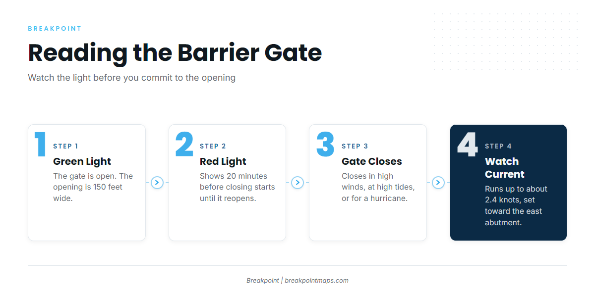
Every number in this section comes from U.S. Coast Pilot 2, Chapter 5. The opening is 150 feet wide. The gate tends to stay open in fair weather and can close in high winds, at high tides, or when a hurricane is expected. Green lights show when it is open. Red lights show from 20 minutes before closing starts until it reopens.
Current in the opening can run up to about 2.4 knots, with a slight set toward the east abutment on both flood and ebb. Check the light before committing to the opening, and treat red as the gate closing or closed.
Main channel and alternate approach
The main channel runs from Buzzards Bay Midchannel Lighted Bell Buoy BB through the buoyed channel east of Wampanoag Ledge. The entrance area is rocks and ledges over a boulder bottom, some covered 3 feet or less.
Other passages from the west carry least depths of about 21 feet but are not as well marked, and unmarked shoals of 9 to 18 feet lie near the course lines. The alternate approach starts about 0.3 mile southeast of Lighted Buoy 7 on a course of 004 degrees and joins the main channel near Butler Flats. Thick fog can close in quickly with little warning.
Southwest wind
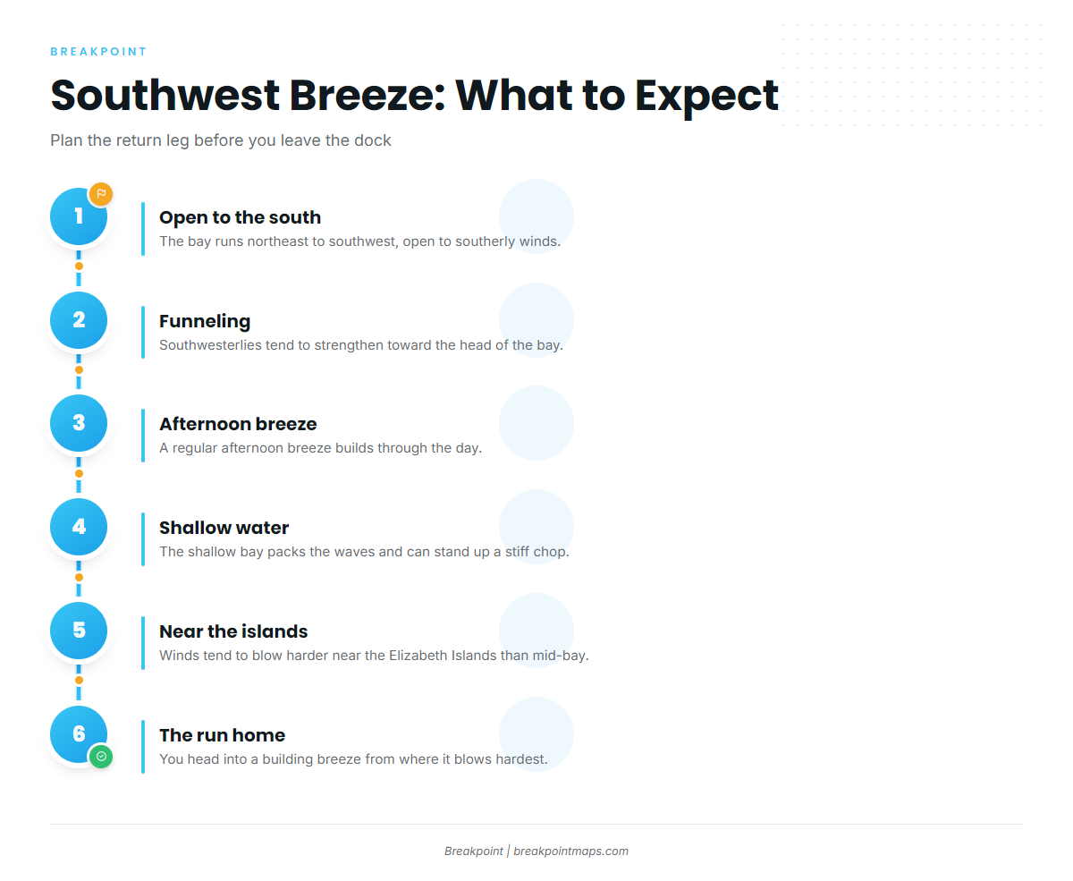
Buzzards Bay runs northeast to southwest and is open to south and southwest winds, which are common from spring through fall. Southwesterlies tend to strengthen as they funnel toward the head of the bay, and a regular afternoon breeze is common.
The shallow bay can steepen waves and pack them closely, which might stand up a stiff chop. Southwesterlies tend to blow harder close to the Elizabeth Islands than in mid-bay, so the run home can be the harder leg: you head into a building breeze from where it blows hardest. Bay wind speeds often run double the readings at nearby land stations, so a shore anemometer can understate the bay.
Alternatives and island hazards
The western entrance north of Cuttyhunk is the route outside. Shoals extend 0.6 mile northeast of Cuttyhunk. Sow and Pigs Reef runs about 1.5 miles west-southwest of the island, and obstructions and rocks are reported as much as 3 miles south of the reef. Cuttyhunk Harbor is exposed to northeast winds.
Canapitsit Channel buoys are often dragged off station, and heavy seas can break across its entrance in southerly winds. Quicks Hole is the only passage east of Cuttyhunk between Vineyard Sound and Buzzards Bay for vessels over 10-foot draft, with current of about 2 to 2.5 knots. Current in Woods Hole Passage at times exceeds 4.5 knots, so read up on Woods Hole Passage before you plan it.
Before you go
Look at the water at the barrier when you arrive. Read the NWS Buzzards Bay forecast ANZ234 and the live wind at the BUZM3 Buzzards Bay station, noting wind speed, wave height and period. If conditions look bigger than you want, switch approaches or shorten the run, whatever the forecast said.
Fishing conditions
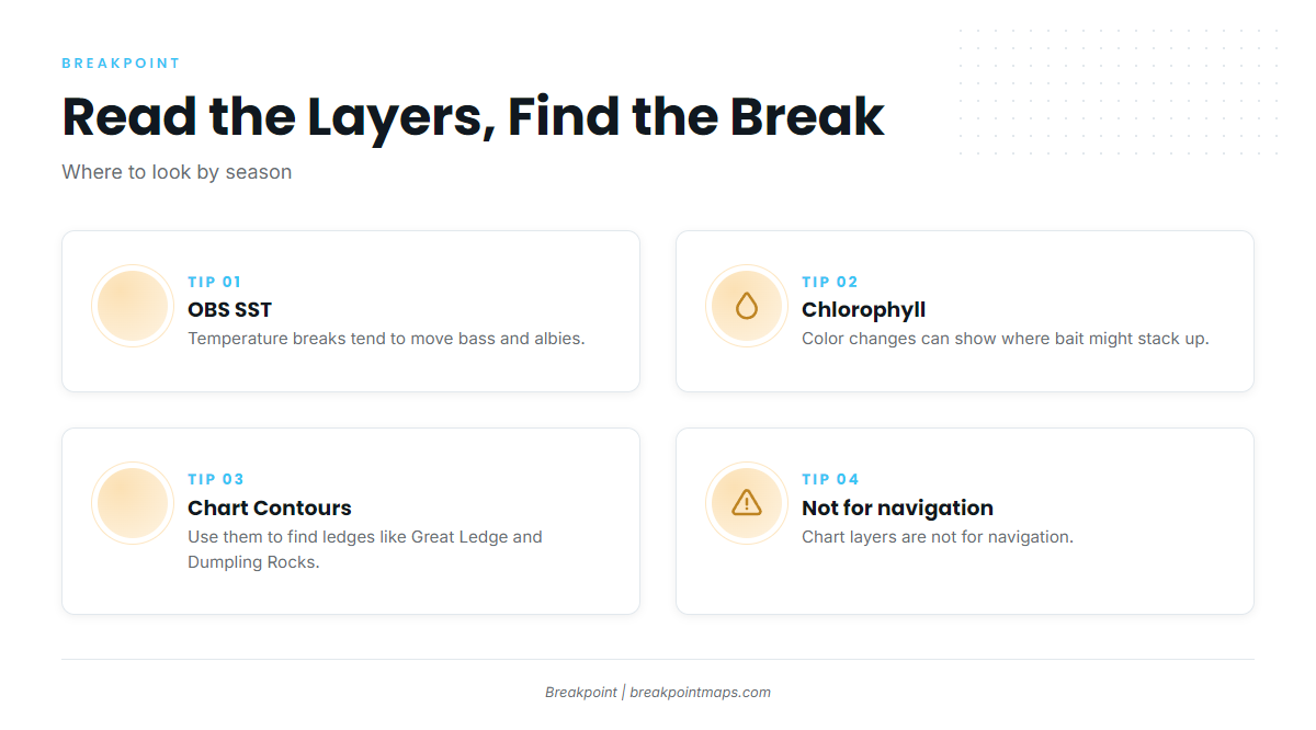
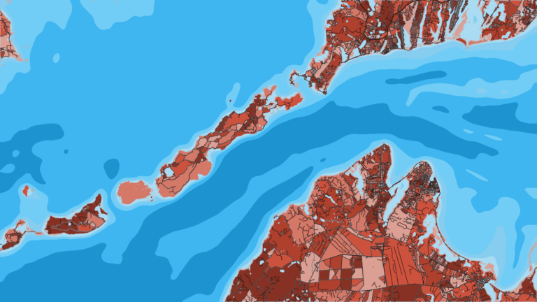
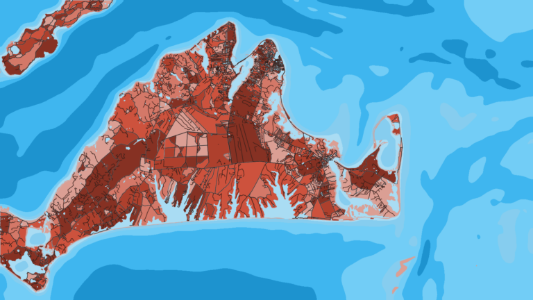
Four named grounds sit close to the harbor: Dumpling Rocks, Great Ledge, West Island off Fairhaven, and Sow and Pigs Reef off Cuttyhunk, where the hazard described above applies. The Elizabeth Islands and Cuttyhunk are the main reach, and the grounds open across Vineyard Sound toward Martha’s Vineyard. Bigger boats can run beyond the bay for offshore pelagics, including yellowfin in Northeast waters.
To plan the day, read OBS SST and Chlorophyll in Breakpoint for the temperature breaks and color changes that move bass and albies. Use Chart Contours for the ledges. Chart layers are not for navigation.
Winter
We list no winter species for this port. The barrier gate can close in high winds and high tides, so watch the lights and the forecast. Check MassDMF for open seasons before you go.
Spring
Striped bass, tautog, scup, black sea bass, bluefish and fluke all show up in spring. They tend to hold around the rock and ledge ground, such as Great Ledge and Dumpling Rocks. As sea bass arrive on the ledges, see black sea bass tactics.
Summer
Bluefish, scup, black sea bass and fluke carry the summer. The afternoon southwest breeze tends to build, so plan the return before you leave the dock. Bigger boats can run south of the islands for bluefin tuna and yellowfin tuna.
Autumn
Tautog, striped bass and false albacore lead the autumn fishing. Falling water temperature tends to move fish along the bay and out of it. For the regional pattern, see the Northeast bluefin pattern. Tuna needs a federal HMS permit from NOAA, which the Massachusetts permit does not replace.