When blackfin are around Venice
Blackfin tuna fishing out of Venice, Florida means running west from Venice Inlet into the Southwest Florida Gulf. For timing, temperature and biology, read the blackfin tuna species guide. For the wider picture, read the Gulf-wide blackfin pattern (see also the wider Gulf of Mexico guide). This page covers the port: distances, structure, method, charter and rules.
How far boats run from Venice
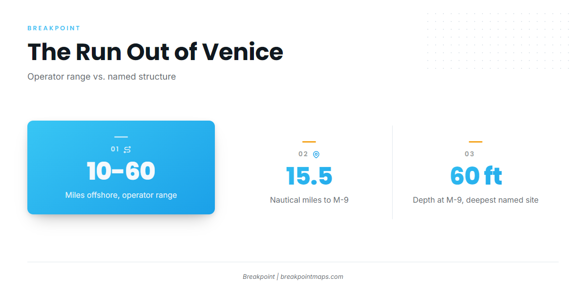
The operator gives a 10 to 60 mile range offshore. The named structure on this page tops out at M-9, 15.5 nm out in 60 ft, so the stated range runs well past it.
Plot every run from a fixed reference point. Reef 14 is measured from Venice Inlet. M-9 is measured from the New Pass Gulf marker. The next section gives each bearing.
Reading VENF1 before the run
The nearest buoy is NOAA C-MAN station VENF1 (Venice, FL), at 27.072 N, 82.453 W.
- Read the numbers. Take the wind and sea readings as reported.
- Set them against the forecast. Compare them with the official NWS marine forecast.
- Mind the limit. VENF1 reports from one point near the coast, while the forecast covers the water you plan to cross.
Grounds and structure off Venice
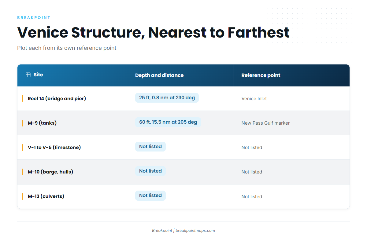
The table lists named, charted reference points along the run, nearest to farthest. They are not tuna spots, and a published position says nothing about what is holding on it.
| Site | Material | Depth (ft) | Distance and bearing | Reference point |
|---|---|---|---|---|
| Venice Reef Site I4 / Reef 14 | Venice Bridge and Pier | 25 | 0.8 nm at 230 deg | Venice Inlet |
| Venice Reef Sites 1 and 2 | old bridge materials and concrete rubble | |||
| Venice Reef V-1 to V-5 | limestone boulders | |||
| M-9 | tanks | 60 | 15.5 nm at 205 deg | New Pass Gulf marker |
| M-10 | upside-down barge and sailboat hulls | |||
| M-11 | reef balls | |||
| M-13 | concrete culverts, sites 1 to 5 | |||
| M-15a and M-15b | culverts, rubble |
Swipe the table sideways to see every column.
The structure shows in Chart Contours. Chart layers and published numbers are not for navigation.
Nearshore reefs
Reef 14 is the closest named structure: the Venice Bridge and Pier in 25 ft, 0.8 nm at 230 deg from Venice Inlet. Beyond it are Venice Reef Sites 1 and 2, made of old bridge materials and concrete rubble, and Venice Reef V-1 to V-5, made of limestone boulders.
The M-series artificial reefs
M-9 anchors the offshore group: tanks in 60 ft, 15.5 nm at 205 deg from the New Pass Gulf marker. That is much deeper than Reef 14’s 25 ft.
The rest of the series:
- M-10: upside-down barge and sailboat hulls
- M-11: reef balls
- M-13: concrete culverts, sites 1 to 5
- M-15a and M-15b: culverts and rubble
How blackfin are fished from Venice
Trolling is the method used locally. Boats cover water and let the spread find fish. For spreads and speeds, see our tuna trolling breakdown.
Who fishes for blackfin out of Venice
Top Priority Fishing Charters lists blackfin tuna. It runs a 34 ft Yellowfin center console, and Capt. David is named on the site.
FAQ: blackfin tuna fishing out of Venice
How far do boats run from Venice for blackfin?
The operator gives a 10 to 60 mile range. The named structure on this page runs out to M-9 at 15.5 nm.
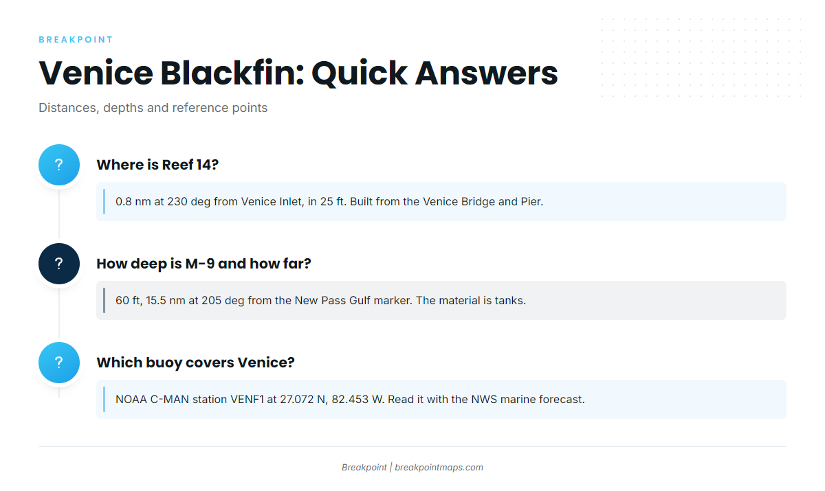
Where is Reef 14?
Reef 14 sits 0.8 nm at 230 deg from Venice Inlet, in 25 ft. It is built from the Venice Bridge and Pier. Published numbers are not for navigation.
How deep is M-9 and how far is it?
M-9 is in 60 ft, 15.5 nm at 205 deg from the New Pass Gulf marker, not from Venice Inlet. The material is tanks.
Which buoy covers Venice?
NOAA C-MAN station VENF1 sits at 27.072 N, 82.453 W. Read its wind and sea numbers alongside the NWS marine forecast.
Is there a charter that lists blackfin?
Top Priority Fishing Charters lists blackfin tuna. It runs a 34 ft Yellowfin center console, and Capt. David is named on the site.