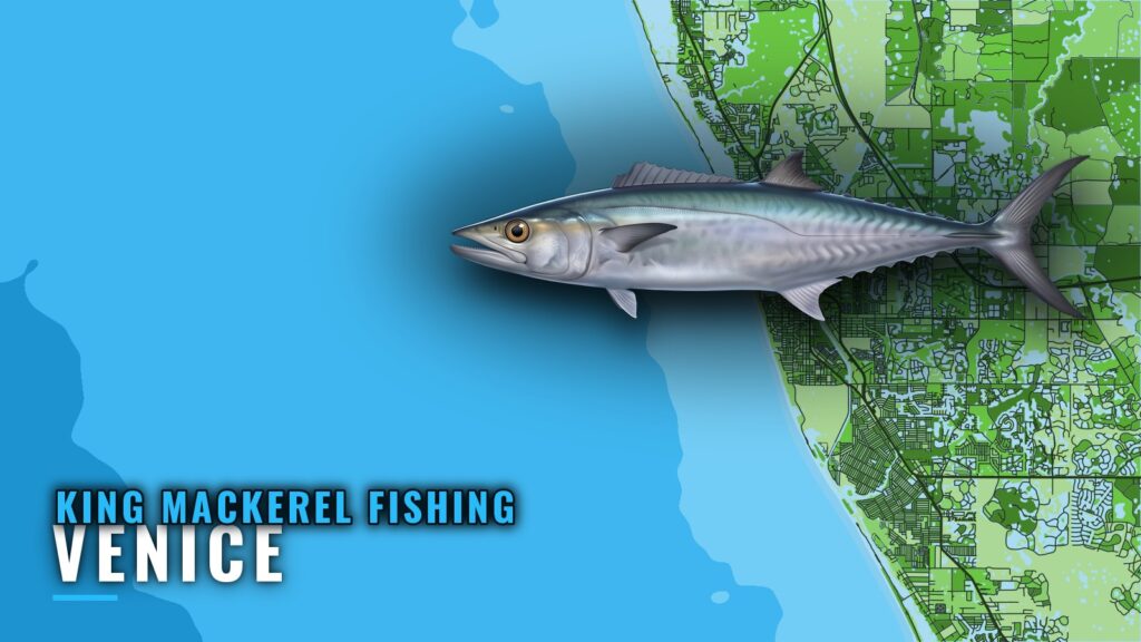
King mackerel fishing out of Venice splits into two bands: nearshore runs of 4 to 7 miles, and long runs of 30 to 40 miles out. This guide gives the named reefs with depth, distance and bearing, the local method, and where to read the numbers before you leave the inlet.
Where Venice Boats Run for King Mackerel
Boats leave through Venice Inlet, covered on the Venice port page. Check official charts and the Coast Pilot chapter for Venice Inlet before you run it. Chart layers are not for navigation.
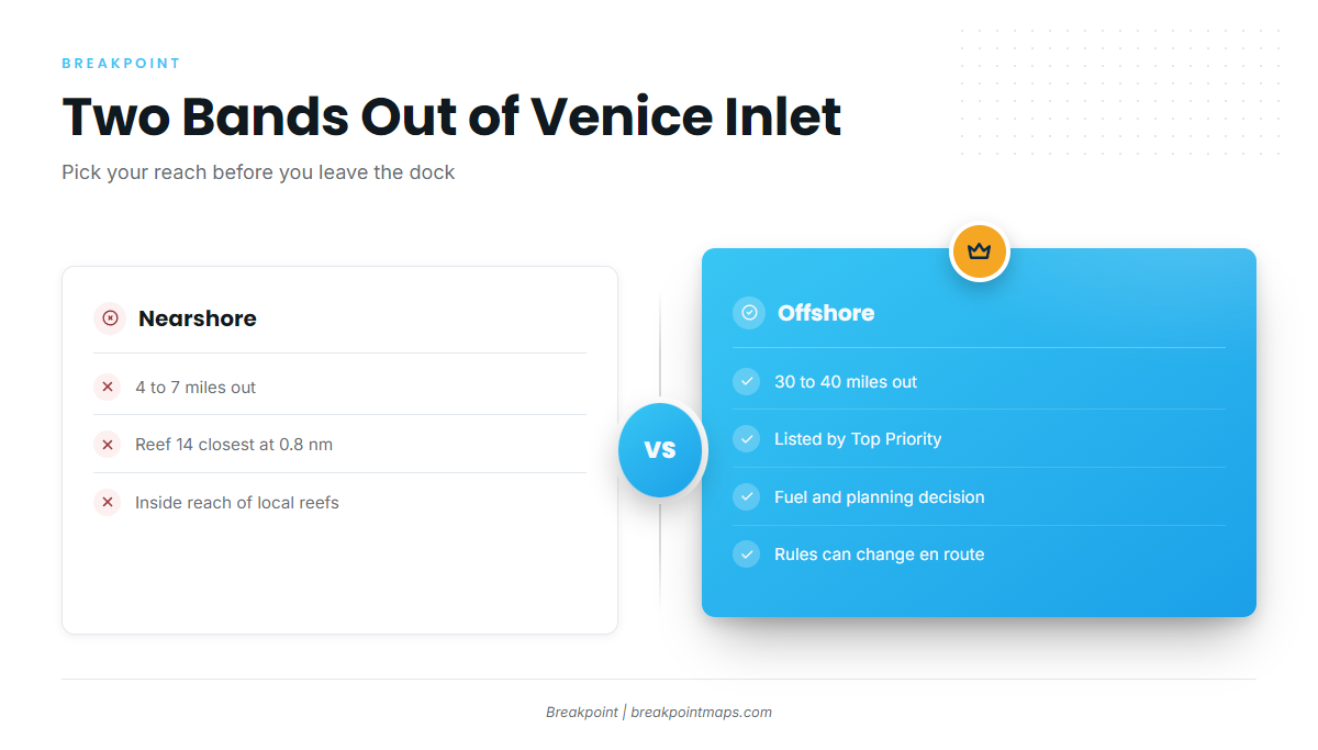
The two bands call for different planning:
- Nearshore: 4 to 7 miles, inside reach of the closest reefs.
- Offshore: 30 to 40 miles, a fuel and timing decision.
Nearshore: 4 to 7 Miles
The structure in the reef table below sits inside this reach. Reef 14 is the closest at 0.8 nm.
Offshore: 30 to 40 Miles
Top Priority Fishing Charters lists runs of 30 to 40 miles out. On a personal boat, fuel and daylight have to be settled before fishing is. Rules jurisdiction can change on the longer run, so read the Regulations section below.
When Kings Are Off Venice
King mackerel move through Venice waters on a seasonal migration. Timing detail for the wider coast is in the Gulf migration (see also the Gulf of Mexico region guide). Timing shifts from year to year, so check current conditions at VENF1 (covered below) rather than relying on a calendar.
Reefs and Structure That Hold Kings
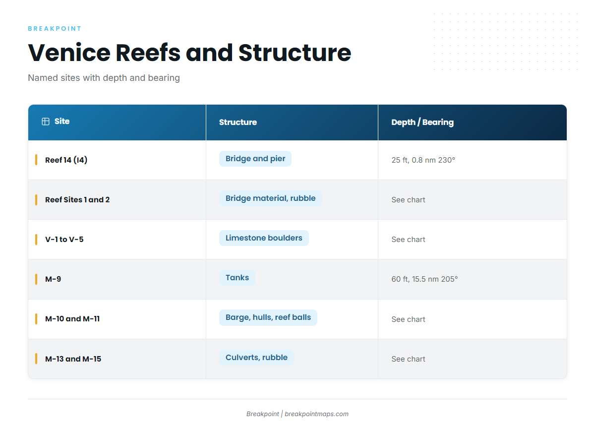
Reef 14 is measured from Venice Inlet. M-9 is measured from the New Pass Gulf marker, not Venice Inlet. The remaining sites are listed by structure type.
| Site | Structure | Depth (ft) | Distance and Bearing | Reference |
|---|---|---|---|---|
| Venice Reef Site I4 / Reef 14 | Venice Bridge and Pier | 25 | 0.8 nm at 230° | Venice Inlet |
| Venice Reef Sites 1 and 2 | Old bridge materials, concrete rubble | |||
| Venice Reef V-1 to V-5 | Limestone boulders | |||
| M-9 | Tanks | 60 | 15.5 nm at 205° | New Pass Gulf marker |
| M-10 | Upside-down barge, sailboat hulls | |||
| M-11 | Reef balls | |||
| M-13 | Concrete culverts, sites 1 to 5 | |||
| M-15a and M-15b | Culverts, rubble |
Swipe the table sideways to see every column.
We map these sites. Chart layers such as Chart Contours help you find them but are not for navigation. The same structure that holds kings also draws other coastal and offshore gamefish.
Venice Reefs Near the Inlet
Reef 14 is the closest: 25 ft, 0.8 nm at 230° from Venice Inlet, built from the Venice Bridge and Pier. Venice Reef Sites 1 and 2 are old bridge materials and concrete rubble. Venice Reef V-1 to V-5 are limestone boulders.
The M-Series Reefs
M-9 is tanks in 60 ft, 15.5 nm at 205° from the New Pass Gulf marker. M-10 is an upside-down barge and sailboat hulls. M-11 is reef balls. M-13 is concrete culverts, sites 1 to 5. M-15a and M-15b are culverts and rubble.
How Kings Are Fished Out of Venice
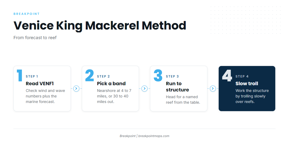
King mackerel fishing out of Venice is a trolling fishery, and kings are most often taken by trolling. For rigging, leaders and bait, use the king mackerel guide.
Trolling
Trolling is the local method. You cover water until a school or a bait concentration shows itself.
Slow Trolling Over Reefs
Slow trolling is the local approach over reefs. Work it over the structure in the table above.
Read VENF1 Before the Run
NOAA C-MAN station VENF1 (Venice, FL) sits at 27.072 N, 82.453 W. Read its wind and wave numbers and the official marine forecast before you leave the inlet. This matters most before the 30 to 40 mile run.
Who Fishes Kings Here
Two local operators list king mackerel:
- Top Priority Fishing Charters: 34 ft Yellowfin center console, Capt. David named on the site, runs of 30 to 40 miles.
- The Miss Venice Deep Sea Fishing: Captain Joe mentioned in site text.
An operator’s long run and your own nearshore reach are different trips, so pick the one your boat and fuel support.
FAQ: King Mackerel Fishing Out of Venice
How far do boats run from Venice for king mackerel?
Nearshore runs are 4 to 7 miles. Top Priority Fishing Charters lists runs of 30 to 40 miles out.
What is the closest named reef to Venice Inlet?
Reef 14 (Venice Reef Site I4): 25 ft, 0.8 nm at 230° from Venice Inlet, built from the Venice Bridge and Pier.
Why is the M-9 bearing different?
M-9 sits at 60 ft, 15.5 nm at 205°, measured from the New Pass Gulf marker, not Venice Inlet.
Where do I check conditions before running out?
NOAA C-MAN station VENF1 at 27.072 N, 82.453 W. Read its wind and wave numbers together with the official marine forecast.
Which Venice charters list king mackerel?
Top Priority Fishing Charters (34 ft Yellowfin center console, Capt. David) and The Miss Venice Deep Sea Fishing (Captain Joe).
How are kings fished out of Venice?
Trolling, including slow trolling over the reefs.