Cobia fishing out of Port Mansfield means running from the jetties to nearshore and offshore structure. Boats work the rock piles east and north of the jetties, North Rocks, and the public reef. This page gives depths and distances so you can decide where to look.
Where boats run from Port Mansfield
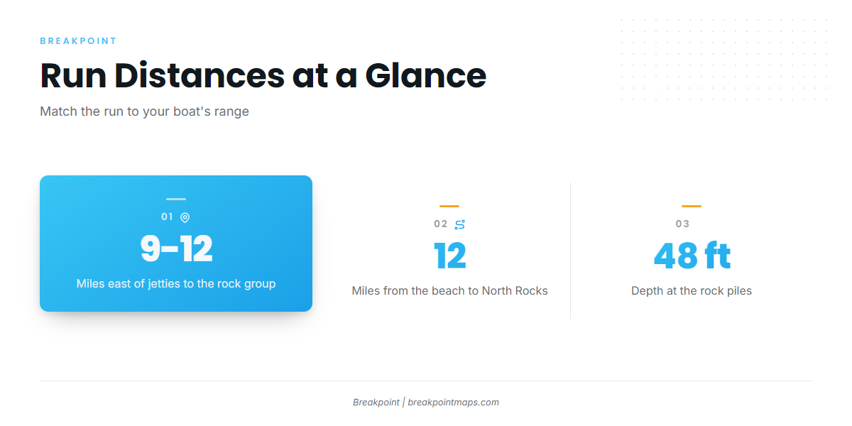
Every run starts at the Mansfield jetties, the channel entrance. Distances are measured from the jetties, except North Rocks, which is measured from the beach.
| Reference | Distance |
|---|---|
| Productive rock pile group | 9 to 12 miles east of the jetties |
| North Rocks | About 12 miles from the beach |
Through the jetties
The jetties mark the channel entrance and the start of the run. The Port Mansfield port page covers local water and ramps.
Nearshore and offshore
The productive group of rock piles sits 9 to 12 miles east of the jetties, and North Rocks extend about 12 miles from the beach. All of this is nearshore and offshore structure, so check the distance against your boat’s range before you commit.
Timing and conditions
Seasonal movement and water temperature determine when cobia show up on this coast, and the Gulf of Mexico cobia guide (see also the Gulf of Mexico offshore fishing guide) covers both. Before the run, check wind speed, wave height and wave period on the official marine forecast, and set your own limits against those numbers.
Grounds and structure that hold cobia
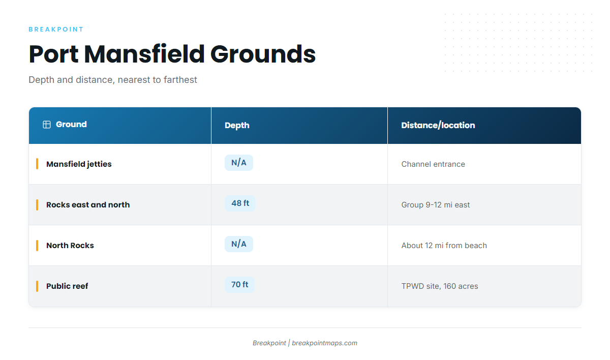
Four named pieces of structure sit on this run, listed from nearest to farthest from the jetties.
| Ground | Depth | Distance/location |
|---|---|---|
| Mansfield jetties | Channel entrance; reference point | |
| Rocks east and north of the jetties | 48 ft | Productive group 9 to 12 miles east of the jetties |
| North Rocks | Extend about 12 miles from the beach | |
| Port Mansfield public reef | 70 ft | TPWD Public Reefing Program site, 160 acres |
You can view the rock piles and the reef on Chart Contours before the run. Chart layers are not for navigation.
Mansfield jetties
The jetties are the channel entrance and the starting point for every run listed here.
Rocks east and north of the jetties
These are the snapper rock piles east and north of the Mansfield jetties, in 48 ft. A productive group sits 9 to 12 miles east of the jetties. The piles have no individual names. They hold snapper, and cobia are fished here too. The nearshore and offshore gamefish guides cover the wider mix of species on this kind of structure.
North Rocks
North Rocks extend about 12 miles from the beach. Unlike the other distances here, this one is measured from the beach rather than the jetties.
Port Mansfield public reef
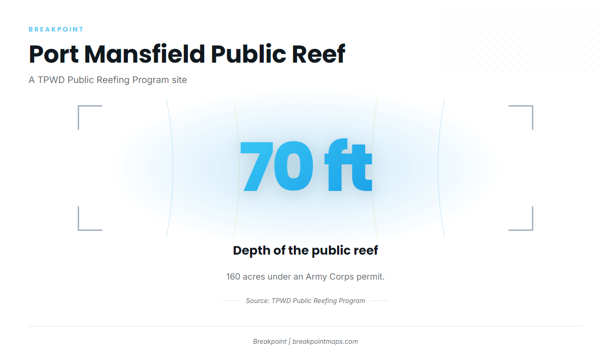
The Port Mansfield public reef sits in 70 ft. It is a Texas Parks and Wildlife Department (TPWD) Public Reefing Program site covering 160 acres under an Army Corps permit.
How cobia are fished here
Cobia are fished on the structure listed above.
On the structure
Cobia appear on the Captain Experiences nearshore species list for Port Mansfield. They also appear on Bamm Bamm’s list and on Capt Josh’s list. For baits, tackle and technique, see our cobia species guide.
Who fishes for them
Two charters list cobia out of Port Mansfield:
- Bamm Bamm Charters. Also listed as Bamm Bamm Fishing Charters. Capt Chad Kinney runs a 70 ft Huckins sportfisher (1998) that carries 6 passengers.
- Port Mansfield Sport Fishing. Also listed as Capt Josh Offshore Charters, with Capt Josh Zachman. Its listing links to FishingBooker.
A charter is one way to see the grounds before you run them yourself.
FAQ: cobia fishing out of Port Mansfield
How far do boats run for cobia out of Port Mansfield?
The productive rock pile group is 9 to 12 miles east of the Mansfield jetties. North Rocks extend about 12 miles from the beach.
How deep is the Port Mansfield public reef?
The reef sits in 70 ft. It is a 160-acre TPWD Public Reefing Program site under an Army Corps permit.
Where are the rocks east of the Mansfield jetties?
The snapper rock piles lie east and north of the jetties in 48 ft. A productive group sits 9 to 12 miles east. The piles have no individual names.
Which Port Mansfield charters list cobia?
Bamm Bamm Charters lists cobia, with Capt Chad Kinney on a 70 ft Huckins that carries 6 passengers. Port Mansfield Sport Fishing, also Capt Josh Offshore Charters, lists cobia with Capt Josh Zachman.
Where are the cobia rules for Port Mansfield?
Check the Texas regulations page and TPWD before fishing. For structure 9 to 12 miles out, also check the federal rules page for mackerel and cobia.