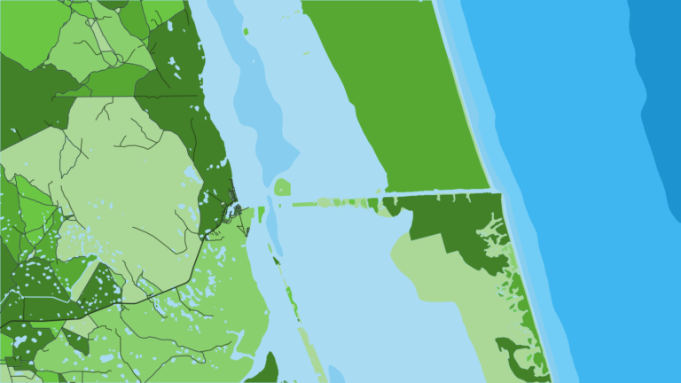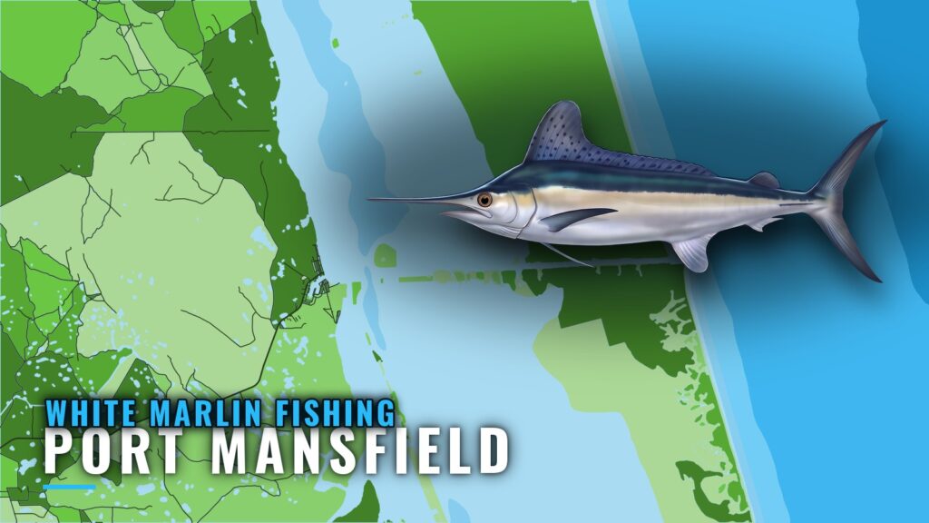
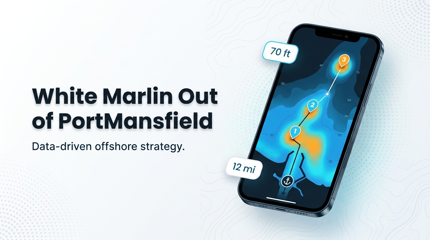
White marlin fishing out of Port Mansfield starts at the Mansfield jetties. The charted structure sits inside about 12 miles and 70 ft, and white marlin water lies farther offshore. This guide covers what is charted near the jetties and how far out it sits, how the fish are fished locally, and who runs trips from this port.
Running offshore from the Mansfield jetties
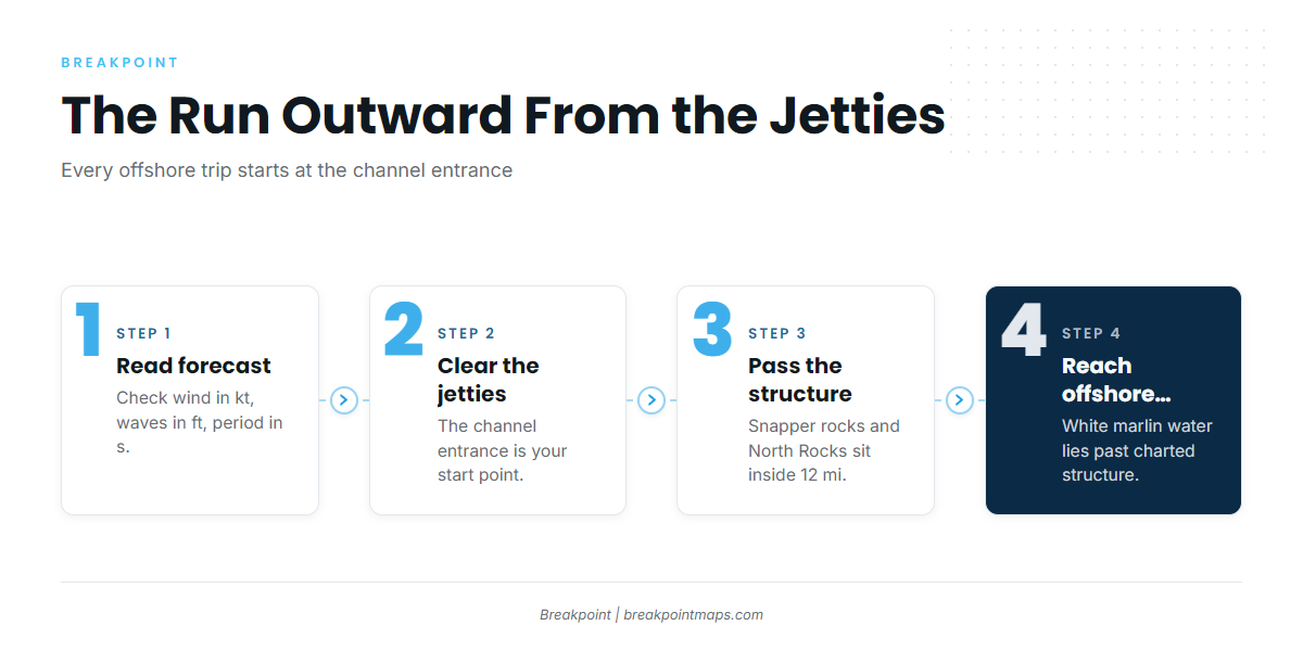
Every offshore run from Port Mansfield starts at the Mansfield jetties, the channel entrance. The first marks are close: the snapper rock piles sit 9 to 12 miles east of the jetties, and North Rocks extends about 12 miles from the beach. The Port Mansfield port guide has the channel, marina and forecast detail, so this page leaves it out.
Offshore billfish water lies beyond those marks. The planning here covers the run out and the run back through the same cut.
The jetty channel entrance
The Mansfield jetties are the one fixed reference you cross twice a day. Plan fuel, timing and your return around that single entrance.
Reading conditions before the run
Read the official NWS marine forecast before you leave the jetties and pull three numbers:
- Wind in knots
- Wave height in feet
- Wave period in seconds
The Port of Port Mansfield harbor office posts weather advisories and warning flags, so its Port Mansfield harbor office notices page is worth checking the night before.
To read offshore water ahead of the run, use OBS SST for temperature breaks, Chlorophyll for the blue-to-green color change, and Chart Contours for depth. Chart layers are not for navigation.
Grounds and structure off Port Mansfield
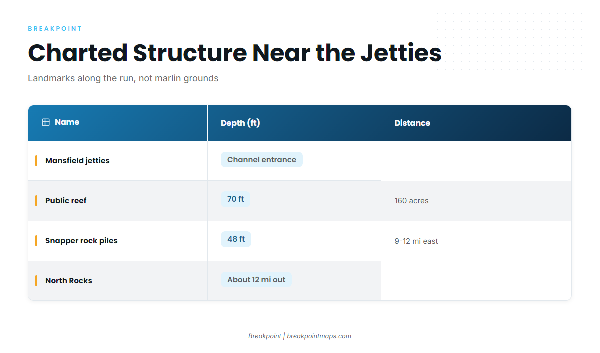
The named structure near Port Mansfield is nearshore water, from 48 to 70 ft and inside about 12 miles. These are landmarks and bait-holding structure along the run, not white marlin grounds. White marlin trips run past them to offshore water, and no single named offshore ground carries the marlin effort from this port.
Port Mansfield public reef
The Port Mansfield public reef is a Texas Parks and Wildlife Department site in the Public Reefing Program. It covers 160 acres under an Army Corps permit and sits in 70 ft.
Rocks east and north of the jetties
These are the snapper rock piles, in 48 ft. A productive group sits 9 to 12 miles east of the jetties. The piles carry no individual names on the chart.
North Rocks
North Rocks extends about 12 miles from the beach.
The table below lists the structure side by side.
| Name | Depth (ft) | Distance |
|---|---|---|
| Mansfield jetties (channel entrance) | ||
| Port Mansfield public reef | 70 | |
| Rocks east and north of the jetties | 48 | Productive group 9 to 12 miles east of the jetties |
| North Rocks | Extends about 12 miles from the beach |
How white marlin are fished out of Port Mansfield
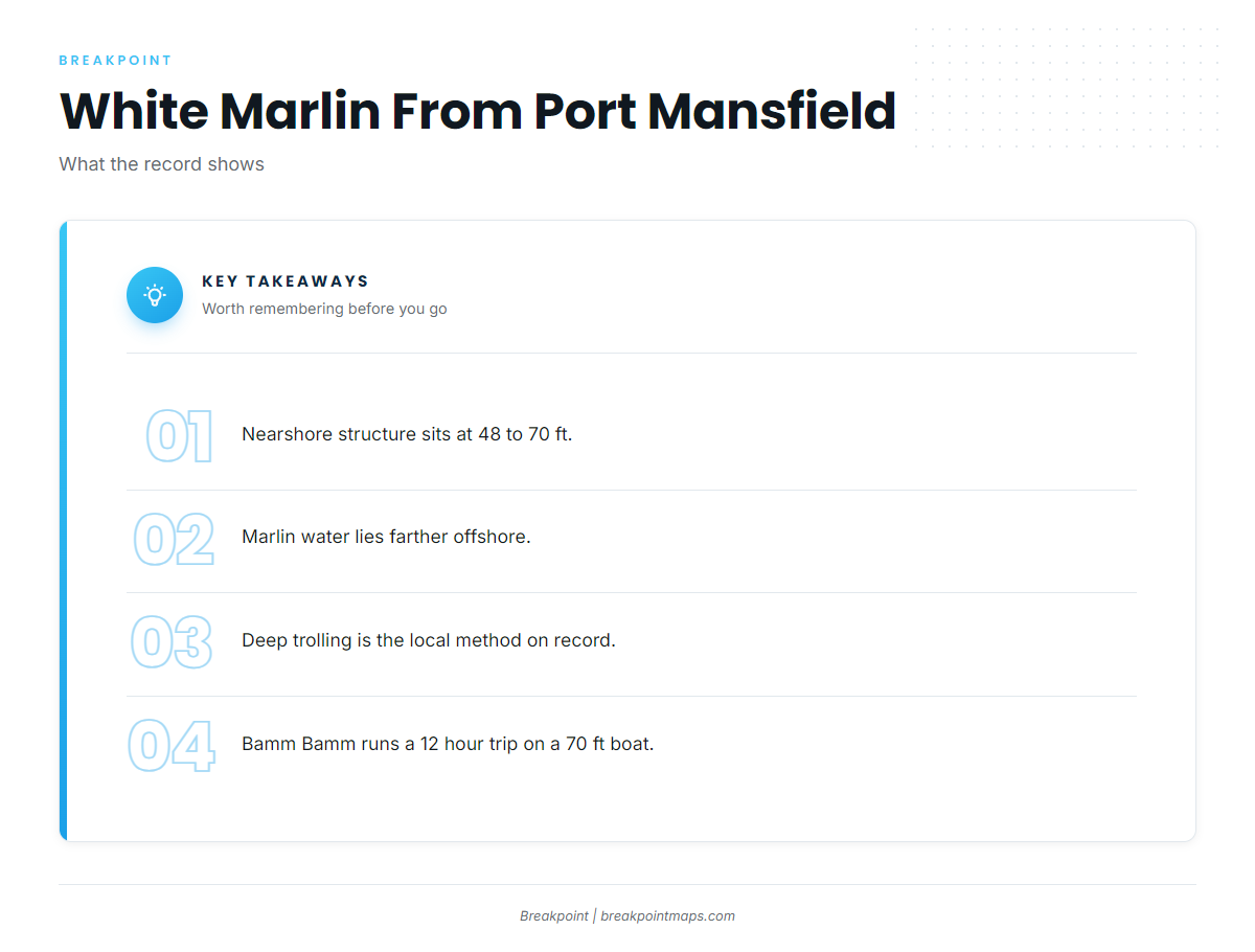
The 48 to 70 ft structure is nearshore, while white marlin are fished in offshore water, and the method changes with the water.
Deep trolling offshore
Deep trolling is the method on record locally. It is named on Bamm Bamm’s species list for its 12 hour trip on a 70 ft boat. For biology, tackle and spreads, see the white marlin species guide.
When the fish are around
The seasonal picture is covered in white marlin in the Gulf of Mexico (see also the Gulf of Mexico fishing guide). Check offshore water before you commit to the run, and let what you see decide the day.
Who fishes white marlin from Port Mansfield
Bamm Bamm Charters
Bamm Bamm Charters, also listed on the Port of Port Mansfield guide list as Bamm Bamm Fishing Charters, runs a 70 ft Huckins sportfisher built in 1998, with room for 6 passengers, under Capt Chad Kinney. White marlin appear on its species list, and its 12 hour deep trolling trip is the method on record for this port. Operator details are on the Bamm Bamm Charters official site.
For other ports and operators, see our billfish fishing guides.
FAQ: white marlin out of Port Mansfield
How far offshore do boats run for white marlin from Port Mansfield?
Boats run offshore, past the charted structure that sits inside about 12 miles. No single named ground carries the effort.
Do white marlin hold on the Port Mansfield public reef or the rocks?
The reef (160 acres, 70 ft) and the rocks (48 ft, with a productive group 9 to 12 miles east of the jetties) are nearshore landmarks along the run. Marlin trips go farther offshore.
What method is used for white marlin out of Port Mansfield?
Deep trolling is the method on record, on a 12 hour trip aboard a 70 ft boat.
Which charter targets white marlin from Port Mansfield?
Bamm Bamm Charters lists white marlin. Capt Chad Kinney runs a 70 ft Huckins sportfisher built in 1998, with room for 6 passengers.
Where are the rules for white marlin caught off Port Mansfield?
The Texas Parks and Wildlife Department and NOAA Fisheries set them. Texas adds its own billfish length rules. Check both before you fish.