Where the Lower Keys Run Starts
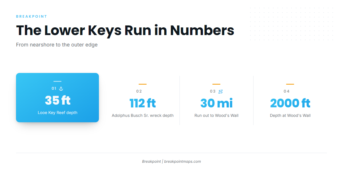
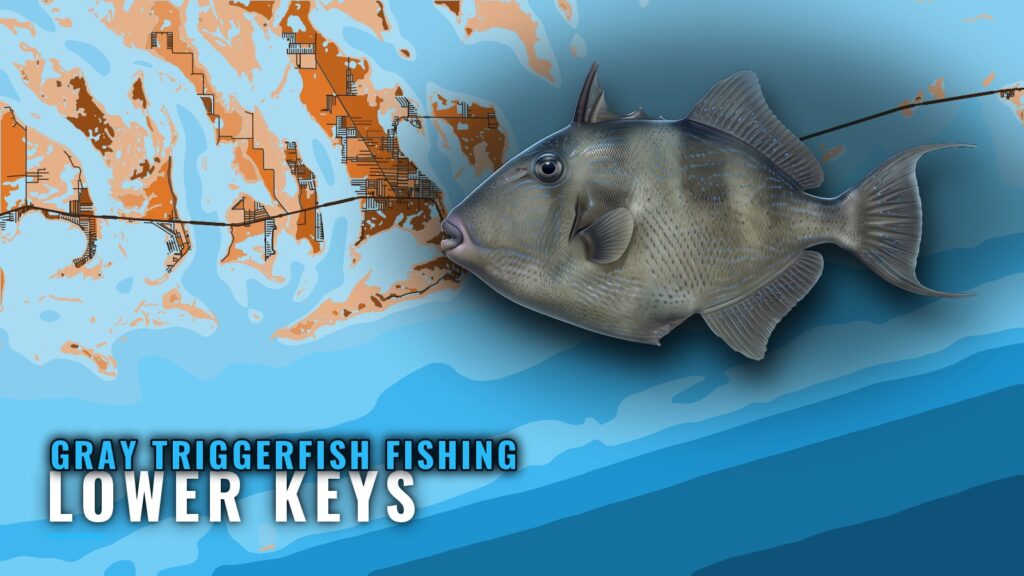
Gray triggerfish fishing out of the Lower Keys runs from nearshore water off Ramrod Key out to Wood’s Wall, about 30 miles off the Atlantic coast of Big Pine Key. Depths along that run go from 35 ft on Looe Key Reef to 2000 ft at the wall. The wider picture is in the gray triggerfish fishing in the Atlantic Southeast and the Atlantic Southeast fishing guide.
This page is a map briefing for anglers running their own boat from the Lower Keys port page area: Big Pine, Ramrod and Cudjoe Keys. For biology, habitat and timing, see our gray triggerfish guide.
The sections below cover the channels out, the named grounds with depths and distances, the two local operators that list triggerfish, and the rules specific to this port.
Where Boats Run From the Lower Keys
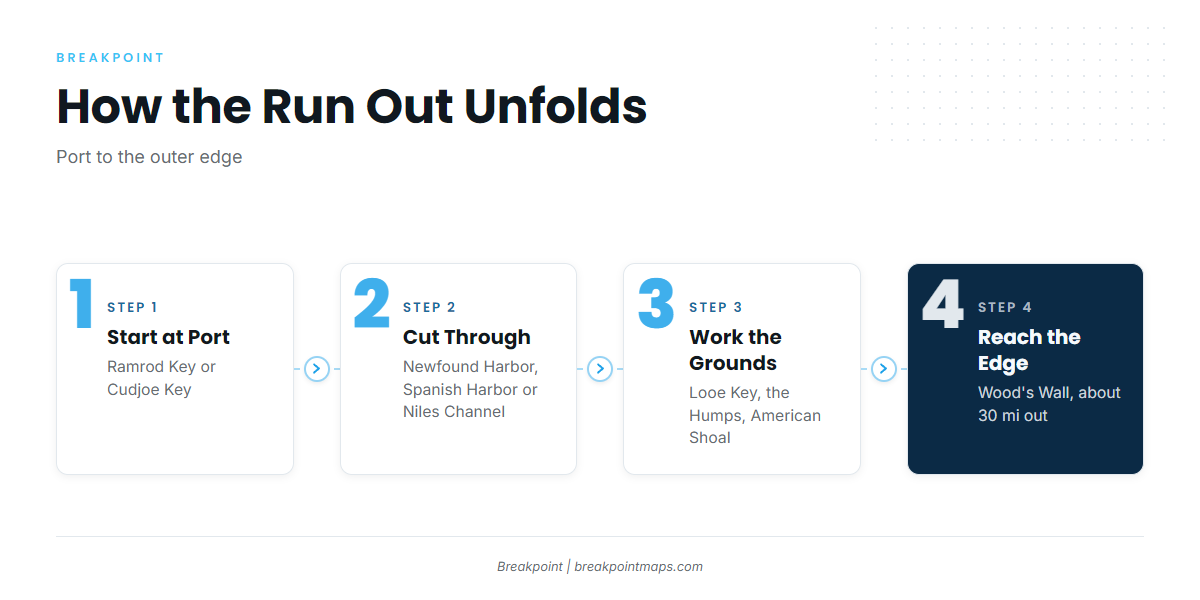
Triggerfish trips out of this stretch of the Keys start from two places:
- Ramrod Key: Mile Marker 27 Fishing Charters fishes nearshore waters out of Ramrod Key.
- Cudjoe Key: Southern Water Charters, based at Cudjoe Key, lists trigger fishing.
The Channels Out
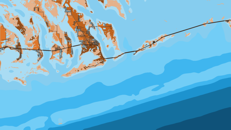
Boats reach the ocean side through Newfound Harbor, Spanish Harbor and Niles Channels. Check them against NOAA’s interactive chart catalog before you run. Chart layers are not for navigation.
Grounds and Structure Near the Lower Keys
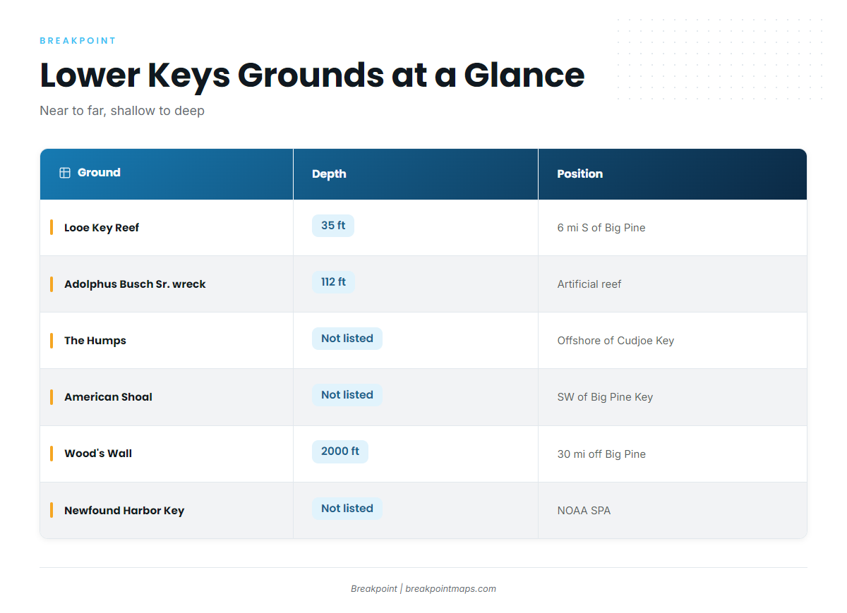
The table lists the named grounds and structure this port fishes. A name on the list doesn’t mean triggerfish are on it, only that the ground is plottable and worth a look on the map.
| Ground | Depth | Position |
|---|---|---|
| Looe Key Reef | 35 ft | About 6 mi south of Big Pine Key |
| Adolphus Busch Sr. artificial reef wreck | 112 ft | Not listed |
| The Humps | Not listed | Offshore of Cudjoe Key |
| American Shoal | Not listed | Southwest of Big Pine Key |
| Wood’s Wall | 2000 ft | About 30 mi off the Atlantic coast of Big Pine Key |
| Newfound Harbor Key SPA | Not listed | NOAA Sanctuary Preservation Area |
The Chart Contours layer in Breakpoint shows the depth breaks around these grounds. Chart layers are not for navigation.
Looe Key Reef
Looe Key Reef sits in 35 ft, about 6 miles south of Big Pine Key. It is the shallowest named ground on this list.
Adolphus Busch Sr. Wreck
The Adolphus Busch Sr. is an artificial reef wreck in 112 ft, the deepest wreck on the list.
The Humps
The Humps lie offshore of Cudjoe Key. Plot them against the contours before you commit fuel.
American Shoal
American Shoal lies southwest of Big Pine Key.
Wood’s Wall
Wood’s Wall drops to 2000 ft, about 30 miles off the Atlantic coast of Big Pine Key. It marks the outer limit of how far boats run from this port.
Newfound Harbor Key SPA
NOAA lists Newfound Harbor Key as a Sanctuary Preservation Area. See the Regulations section below.
Who Fishes for Triggerfish From This Port
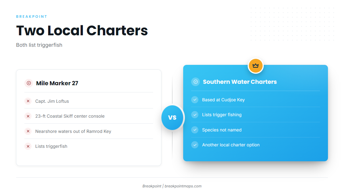
Two local charters list triggerfish. Both use the word "triggerfish" or "trigger fishing" without naming the species, so we can’t say either one targets gray triggerfish specifically.
Mile Marker 27 Fishing Charters, Ramrod Key
Capt. Jim Loftus runs Mile Marker 27 Fishing Charters out of Ramrod Key in a 23-foot Coastal Skiff center console. The trips work nearshore waters, and the listing includes triggerfish.
Southern Water Charters, Cudjoe Key
Southern Water Charters is based at Cudjoe Key and lists trigger fishing.
How It Is Fished Here
Fishing here is small-boat, nearshore work out of a center console. For bottom-fishing technique, see our reef fish pages.
FAQ: Gray Triggerfish in the Lower Keys
How far do boats run for gray triggerfish fishing out of the Lower Keys?
Boats run from nearshore water off Ramrod Key out to Wood’s Wall, about 30 miles off the Atlantic coast of Big Pine Key. Looe Key Reef sits about 6 miles south of Big Pine Key, so most named grounds fall between those two distances.
How deep is Looe Key Reef?
Looe Key Reef is 35 ft deep, about 6 miles south of Big Pine Key. It is the shallowest named ground on this page. The Adolphus Busch Sr. wreck sits in 112 ft.
Which local charters list triggerfish?
Mile Marker 27 Fishing Charters lists triggerfish; Capt. Jim Loftus runs a 23-foot Coastal Skiff out of Ramrod Key. Southern Water Charters at Cudjoe Key lists trigger fishing. Neither listing names the species.
Can you fish the Newfound Harbor Key SPA?
Newfound Harbor Key is a NOAA Sanctuary Preservation Area, and NOAA sets what you can do there. Read the Regulations section above and confirm on the NOAA zones page before you anchor or fish.
Where are the rules for this port?
FWC is the state agency, and the Florida regulations page points to its rules. Bay-side and ocean-side rules off the Lower Keys can differ, so confirm which side you are fishing before you drop a line.