When blackfin are around the Lower Keys
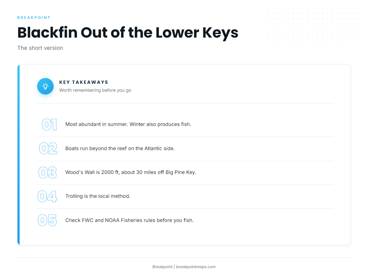
Blackfin tuna fishing out of the Lower Keys peaks in summer, though winter also produces fish. The fish are taken beyond the reef on the Atlantic side, and every ground below sits on that run. The Atlantic Southeast blackfin guide (see also the wider Atlantic Southeast guide) covers the wider seasonal pattern.
Where boats run for blackfin
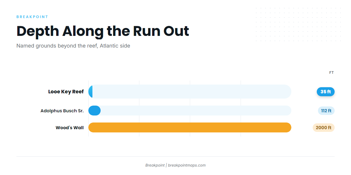
Boats run beyond the reef on the Atlantic side. Wood’s Wall, the deepest named ground, sits in 2000 ft about 30 miles off Big Pine Key. Ramps, channels and conditions are on the Lower Keys port page.
A run of about 30 miles each way means planning for fuel and range. Check the official marine forecast for wind, wave height and period before you commit. Chart layers are not for navigation.
| Ground | Type | Depth (ft) | Position |
|---|---|---|---|
| Looe Key Reef | Reef | 35 | About 6 miles south of Big Pine Key |
| American Shoal | Reef | Southwest of Big Pine Key | |
| Adolphus Busch Sr. | Artificial reef wreck | 112 | |
| The Humps | Offshore structure | Offshore of Cudjoe Key | |
| Wood’s Wall | Offshore structure | 2000 | About 30 miles off the Atlantic coast of Big Pine Key |
Channels to the Atlantic side
Boats reach the Atlantic side through Newfound Harbor, Spanish Harbor and Niles Channels. Channel detail is on the port page above.
Looe Key Reef
Looe Key Reef sits in 35 ft, about 6 miles south of Big Pine Key. It is the first reference mark on the run out to blue water.
American Shoal
American Shoal lies southwest of Big Pine Key and serves as a reef landmark for runs heading out to the southwest.
Adolphus Busch Sr. wreck
The Adolphus Busch Sr. is an artificial reef wreck in 112 ft, the next step in depth past the reef line.
The Humps
The Humps are offshore structure off Cudjoe Key, in deep water well past the reef line.
Wood’s Wall
Wood’s Wall sits in 2000 ft, about 30 miles off the Atlantic coast of Big Pine Key. It is the deepest named ground on this list, and the distance drives fuel and range planning.
How blackfin are fished here
Trolling is the local approach to blackfin tuna fishing out of the Lower Keys. Spreads, tackle and biology are in the blackfin tuna species guide.
Trolling
Lower Keys Offshore Adventures lists trolling for large tuna on its full-day trip. A full day suits the run to deep structure such as Wood’s Wall.
- Trolling is the method named for this port.
- A full-day trip fits the 30-mile run out to the deepest ground.
- Reef and wreck marks serve as reference points on the way.
Who fishes for blackfin out of the Lower Keys
Keys Boat Tours on Big Pine runs offshore trips beyond the reef for mahi and blackfin. Lower Keys Offshore Adventures lists trolling for large tuna on its full-day trip.
For other tuna species and ports, see our tuna fishing guides.
FAQ: blackfin tuna fishing out of the Lower Keys
When is the best time for blackfin out of the Lower Keys?
Blackfin are most abundant in summer, and winter also produces fish.
How far do boats run for blackfin?
Boats run beyond the reef on the Atlantic side. Wood’s Wall is about 30 miles off Big Pine Key in 2000 ft. Check the official NOAA marine forecast for wind, wave height and period before the run.
Where are The Humps?
They are offshore of Cudjoe Key.
How do locals fish for blackfin?
They troll. Lower Keys Offshore Adventures lists trolling for large tuna on its full-day trip.
Do charters out of the Lower Keys target blackfin, and where do I find the limits?
Keys Boat Tours on Big Pine runs offshore trips beyond the reef for mahi and blackfin. For limits, see the regulations section above and check FWC and NOAA Fisheries before you fish.