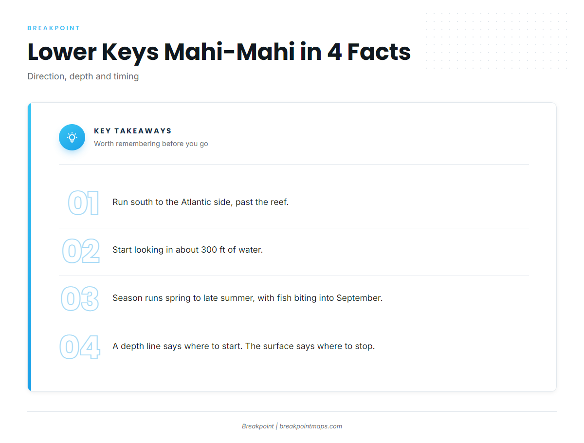
Mahi-mahi fishing out of the Lower Keys means running south to the Atlantic side, past the reef, and starting to look in about 300 feet of water. Whether you launch from Big Pine Key or Cudjoe Key, the route is the same: get out through the channels, cross the reef line, then work the surface.
This page covers when the fish are here, which way to point the bow, where to start looking, and what to troll over. Captain Hook’s lists the fish as "dolphin," which is mahi-mahi. For the fish itself and general tackle, see the mahi-mahi guide. The 300-foot line tells you where to start looking; what you see on the surface tells you where to stop.
When mahi-mahi are around the Lower Keys
Season here runs spring to late summer, and the bite carries into September.
| Window | What it rests on |
|---|---|
| Spring to late summer | FishingBooker’s Big Pine Key guide |
| Early and mid September | A Lower Keys forecast from a Key West captain |
Spring to late summer
FishingBooker’s Big Pine Key guide puts the season at spring to late summer, so that is the window to plan around. For how the run moves up the coast, see the Atlantic Southeast page (see also the Atlantic Southeast offshore fishing guide).
The September bite
A Lower Keys forecast from a Key West captain had fish still biting in early and mid September. A forecast describes one stretch of water and doesn’t guarantee the next, so keep the run on your calendar past summer and read the surface when you get there.
Where boats run for mahi-mahi fishing out of the Lower Keys
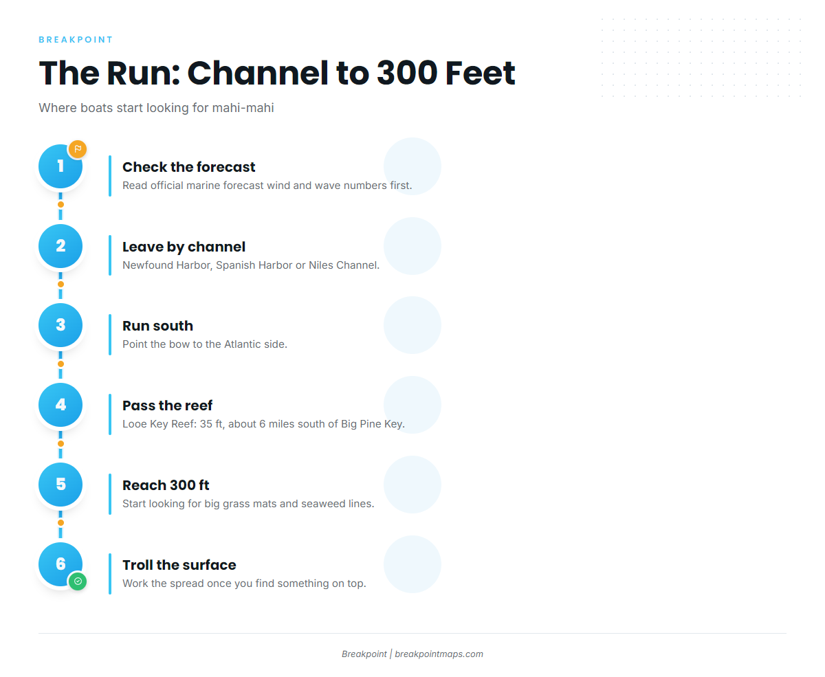
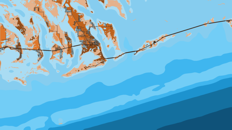
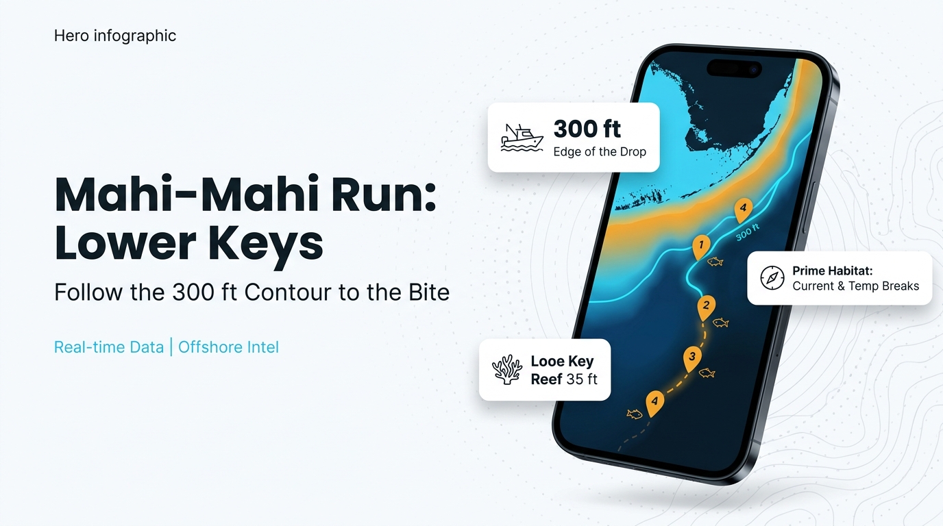
Out of the Lower Keys, boats run south to the Atlantic side, past the reef, and start looking for mahi-mahi in about 300 feet of water. The run breaks into three steps:
- Clear the channels.
- Cross the reef line.
- Reach 300 ft and look at the water.
Getting out: Newfound Harbor, Spanish Harbor and Niles Channels
Newfound Harbor, Spanish Harbor and Niles Channels are the named ways out toward the Atlantic side. Check the official Key West marine forecast for wind and wave numbers before you run out.
South of the reef to 300 feet
Looe Key Reef sits in 35 ft about 6 miles south of Big Pine Key, and it works as a reference for the reef line.
Past it, a Lower Keys forecast says to start looking for big grass mats and seaweed lines from about 300 feet of water, and to troll once you find something on the surface. Keys Boat Tours runs trolling trips beyond the reef.
Weed lines drift, so the 300 ft mark marks only where to start looking. Set that line and the named grounds below as waypoints before you leave the dock.
Named grounds on the way
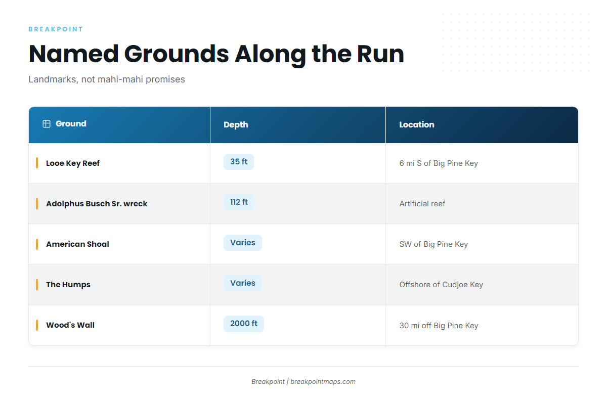
These are landmarks and grounds along the run:
| Ground | Depth | Location |
|---|---|---|
| Looe Key Reef | 35 ft | About 6 miles south of Big Pine Key |
| Adolphus Busch Sr. artificial reef wreck | 112 ft | |
| American Shoal | Southwest of Big Pine Key | |
| The Humps | Offshore of Cudjoe Key | |
| Wood’s Wall | 2000 ft | About 30 miles off the Atlantic coast of Big Pine Key |
Chart layers are not for navigation. Run on official charts.
How mahi-mahi are fished here
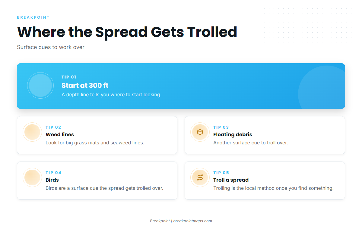
Locally, mahi-mahi are trolled with a spread over weed lines, floating debris and birds.
Weed lines and grass mats
Once you are in about 300 ft, look for big grass mats and seaweed lines. When you find one, troll it.
Floating debris and birds
Floating debris and birds are the other surface cues. If you see either, put the spread across it and slow down for a closer look.
Trolling the spread
Trolling a spread is the local method. Lower Keys Offshore Adventures lists trolling on its full-day trip, and Captain Hook’s lists offshore trips for dolphin. For tackle detail, go back to the mahi-mahi guide.
Who fishes mahi-mahi out of the Lower Keys
These operators list mahi-mahi:
- Southern Water Charters
- Lower Keys Offshore Adventures: Big Pine Key, a 30-foot Scarab with twin 300 Yamahas, and trolling on the full-day trip
- Keys Boat Tours: trolling trips beyond the reef
- Captain Hook’s Big Pine charters: Captain Hook’s Marina and Dive Center, Big Pine Key, offshore for dolphin
- Salty Paradise Charters Cudjoe Key: Captain Alison Hinton, Cudjoe Key
- Above & Below Fishing Adventures: Captain Jose Rodriguez, a 32-foot SeaVee per the Greetwell listing
FAQ: mahi-mahi fishing out of the Lower Keys
How far out do I run for mahi-mahi?
Run south to the Atlantic side and past the reef. Looe Key Reef, in 35 ft about 6 miles south of Big Pine Key, is your reference point. Start looking in about 300 ft.
What depth do I start looking?
About 300 ft, per a Lower Keys forecast. Look for big grass mats and seaweed lines, and troll once you find something on the surface.
Is the bite still on in September?
A Lower Keys forecast from a Key West captain had fish still biting in early and mid September. FishingBooker’s Big Pine Key guide puts the season at spring to late summer. A forecast is not a guarantee.
What does "dolphin" mean on charter listings?
It means mahi-mahi. Captain Hook’s lists offshore trips for dolphin.
What else gets trolled offshore here?
For other species, see the coastal and offshore gamefish guides.