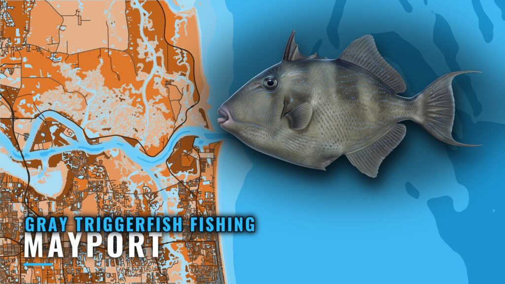
Gray triggerfish fishing out of Mayport: where boats run
Boats targeting gray triggerfish out of Mayport clear the jetties at the St. Johns River entrance and run east to reef and wreck structure offshore. The Mayport port guide covers ramps, marinas and the inlet itself. The wider picture is in the gray triggerfish fishing in the Atlantic Southeast and the Atlantic Southeast fishing guide.
The longest named run is to Dry Dock (AFDM-9), about 45 miles southeast of the entrance. The other named grounds sit in 75 to 120 ft of water. The Jacksonville Offshore Sport Fishing Club bottom division includes triggerfish, and the JOSFC bottom tournament rules list the eligible species.
The Coast Pilot St. Johns chapter covers the entrance. Before the run, pull the NWS Jacksonville marine forecast and check the numbers yourself.
| Ground | Depth | Run from the St. Johns River entrance |
|---|---|---|
| FWC artificial reef sites | 75 to 80 ft | See coordinates below |
| Spike Reef | about 110 ft | Not stated |
| Blackmar’s Reef | 105 to 110 ft | Not stated |
| Dry Dock (AFDM-9) | 120 ft | About 45 miles southeast |
When triggerfish are around off Mayport
The gray triggerfish species guide covers seasonal patterns and biology. Whether you can keep a fish on a given day depends on the rules, which are covered in the Regulations section below.
Grounds and structure that hold triggerfish
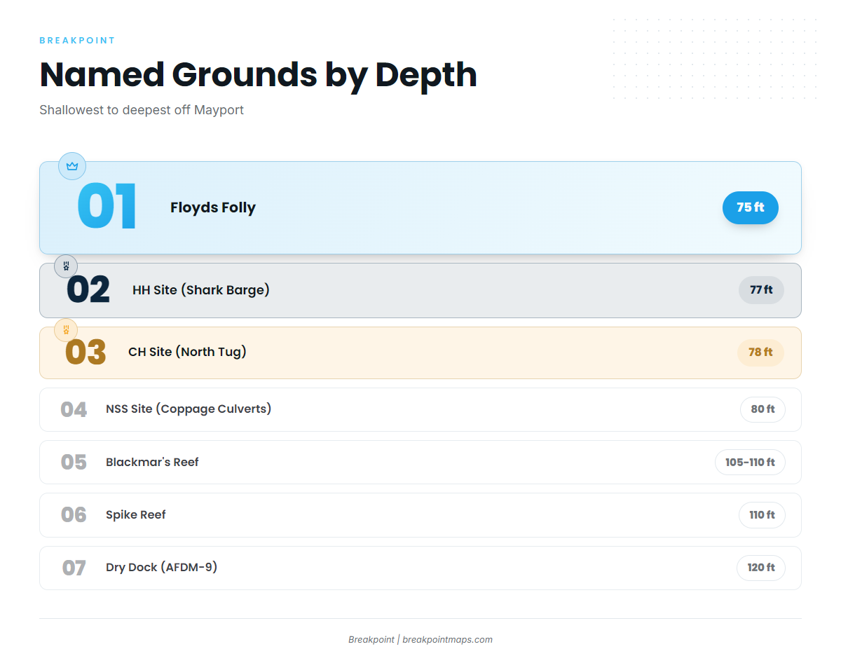
The named grounds run from FWC sites in 75 to 80 ft out to wreck structure in 105 to 120 ft. Coordinates are for planning only, and the chart layers should not be used for navigation.
FWC artificial reef sites for triggerfish in 75 to 80 ft
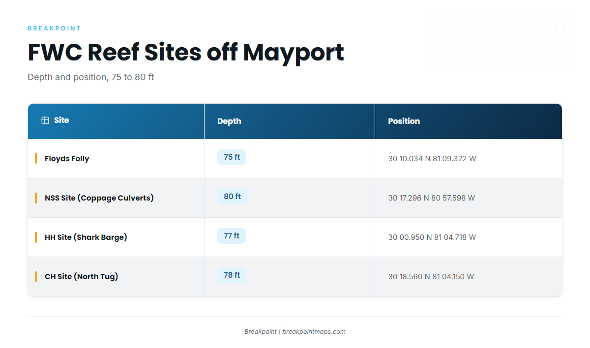
FWC lists these sites in its artificial reef table.
| Site | Depth | Latitude | Longitude |
|---|---|---|---|
| Floyds Folly | 75 ft | 30 10.034 N | 81 09.322 W |
| NSS Site (Coppage Culverts) | 80 ft | 30 17.296 N | 80 57.598 W |
| HH Site (Shark Barge) | 77 ft | 30 00.950 N | 81 04.718 W |
| CH Site (North Tug) | 78 ft | 30 18.560 N | 81 04.150 W |
The NSS Site (Coppage Culverts) is a different site from the Coppedge Tug, which Visit Jacksonville lists in shallow water.
Nine Mile Reef
Nine Mile Reef is a named ground near Mayport.
Spike Reef
Spike Reef has about 110 ft of bottom, with the wreck top at about 75 ft, which gives about 35 ft of relief.
Blackmar’s Reef
Blackmar’s Reef sits in 105 to 110 ft of water.
Dry Dock (AFDM-9)
Dry Dock is a former Navy dry dock in 120 ft of water, about 45 miles southeast of the St. Johns River entrance. It is the deepest and farthest of the named grounds.
How triggerfish are fished locally
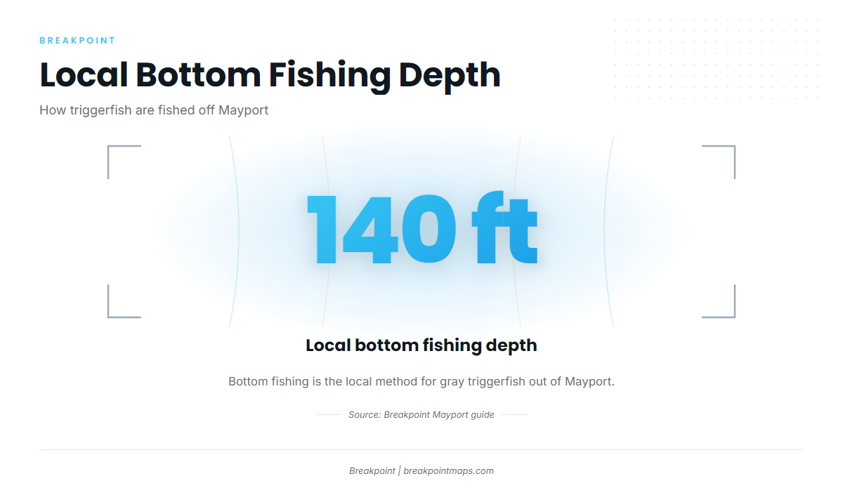
Anglers here bottom fish for triggerfish at about 140 ft.
- Method: bottom fishing
- Depth: about 140 ft
- Named grounds: 75 to 120 ft
Strate Fishing Charters, run by Capt. Matt Strate, lists gray triggerfish and is an option if you would rather not run your own boat.
Rigging, baits and general bottom-fishing technique are covered in the reef fish guides.
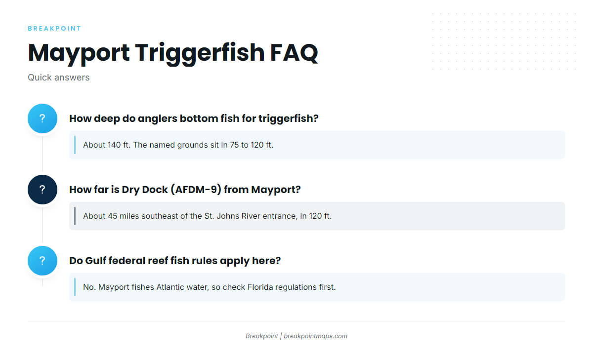
FAQ about gray triggerfish fishing out of Mayport
How deep do anglers bottom fish for triggerfish off Mayport?
About 140 ft. The named grounds sit in 75 to 120 ft.
How far is Dry Dock (AFDM-9) from Mayport?
About 45 miles southeast of the St. Johns River entrance, in 120 ft.
Which reefs off Mayport have FWC coordinates?
Floyds Folly, the NSS Site (Coppage Culverts), the HH Site (Shark Barge) and the CH Site (North Tug), all in 75 to 80 ft. They are listed in the table above.
Does a Mayport charter target gray triggerfish?
Yes. Strate Fishing Charters lists gray triggerfish.
Do Gulf federal reef fish rules apply out of Mayport?
No. Mayport fishes Atlantic water, so check the Florida regulations before fishing.