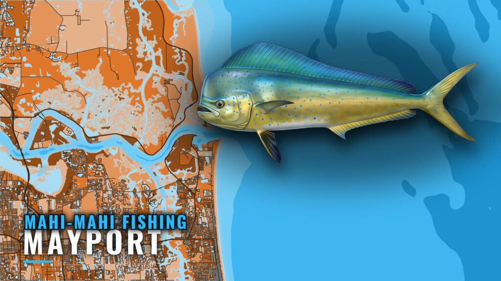
Mahi-mahi fishing out of Mayport starts at the St. Johns River entrance
Mahi-mahi fishing out of Mayport starts at the St. Johns River entrance and runs east to structure in 75 to 120 ft of water. The named grounds range from the 75 to 80 ft FWC sites out to the Dry Dock (AFDM-9), about 45 miles southeast of the entrance.
Mahi follow surface water rather than waypoints, so the structure is where you begin looking. Inlet notes, ramps and the official marine forecast are in the Mayport port guide.
When mahi are around Mayport
Mahi show up off Mayport when warm blue water reaches the offshore grounds. That water rides the Gulf Stream, and where its edge sits on a given day determines how far you run.
Two layers in the app help you read it:
- OBS SST shows where warm water sits relative to the plotted structure.
- Chlorophyll shows the color change between green and blue water.
Cloud blocks satellite passes, so a missing pass is a gap in the data and says nothing about the fishing. Chart layers are not for navigation. For the wider seasonal and Gulf Stream picture, see mahi-mahi along the Southeast Atlantic coast (see also the Atlantic Southeast fishing guide).
Grounds and structure that hold mahi
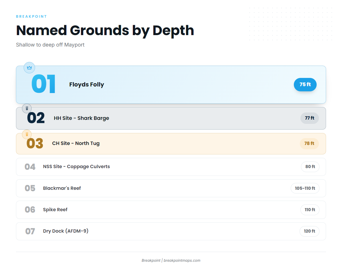
The FWC publishes coordinates for the shallower sites below, so you can plot them as listed. The grounds run from shallow to deep. None guarantees fish; each is a reference point for searching the surface water around it.
75 to 80 ft FWC sites
These four sites are the shallowest named structure off Mayport, listed by depth:
| Site | Depth (ft) | Latitude / Longitude (FWC table) |
|---|---|---|
| Floyds Folly | 75 | Lat 30 10.034 N, long 81 09.322 W |
| HH Site – Shark Barge | 77 | Lat 30 00.950 N, long 81 04.718 W |
| CH Site – North Tug | 78 | Lat 30 18.560 N, long 81 04.150 W |
| NSS Site – Coppage Culverts | 80 | Lat 30 17.296 N, long 80 57.598 W |
105 to 120 ft grounds
Three named grounds sit deeper:
- Blackmar’s Reef: water depth 105 to 110 ft.
- Spike Reef: bottom about 110 ft, wreck top about 75 ft, so the wreck rises about 35 ft off the bottom.
- Dry Dock (AFDM-9): a former Navy dry dock in about 120 ft. It is the deepest named structure here and the long run noted at the start of this guide.
Nine Mile Reef
Nine Mile Reef is another named reef off Mayport.
How mahi are fished from this port
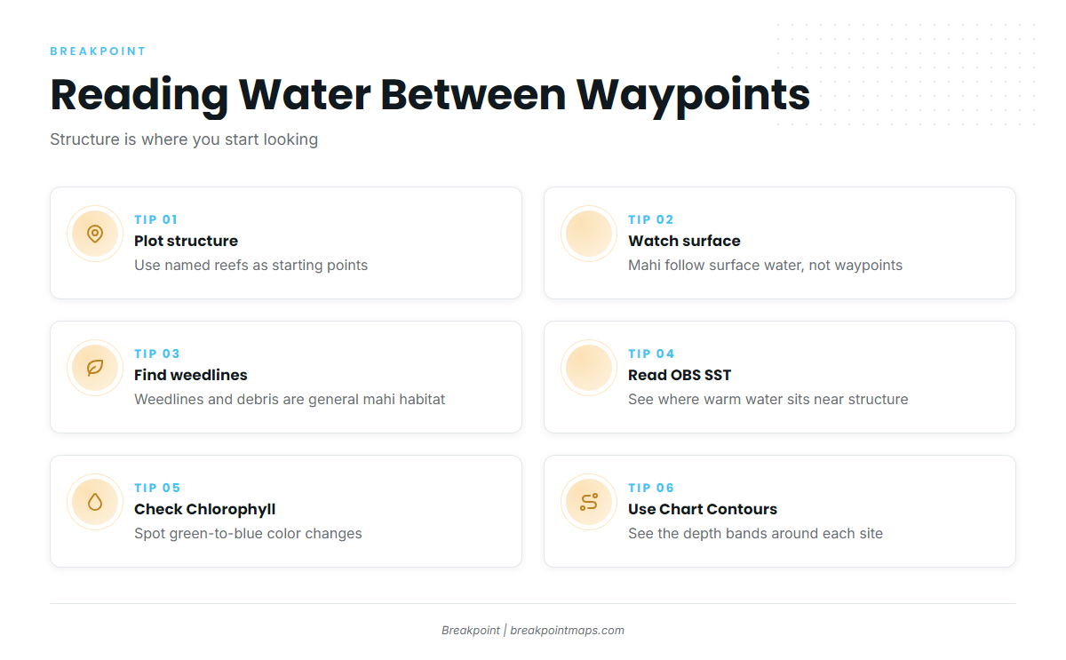
Use the plotted structure as starting points, then watch the surface between and around them. Weedlines and floating debris are general mahi habitat, and color changes on Chlorophyll and OBS SST point you toward them. Chart Contours shows the depth bands under you.
Rigging, trolling spreads and working a weedline are covered in the mahi-mahi species guide. Chart layers are not for navigation.
Who fishes for mahi-mahi out of Mayport
Two local charters list mahi-mahi among their target species:
- Strate Fishing Charters: Capt. Matt Strate and Capt.
- Always Hookin Fishing Charters: Capt. Big Greg, Captain Gregory and 1st Mate Jadyn.
Boats that run this far offshore often target other offshore gamefish on the same trips.
FAQ about mahi-mahi fishing out of Mayport
How far do boats run from Mayport for mahi-mahi?
The named structure runs from the 75 to 80 ft FWC sites out to the Dry Dock, about 45 miles southeast of the St. Johns River entrance. Mahi follow warm surface water, so the run depends on where that water sits on the day.
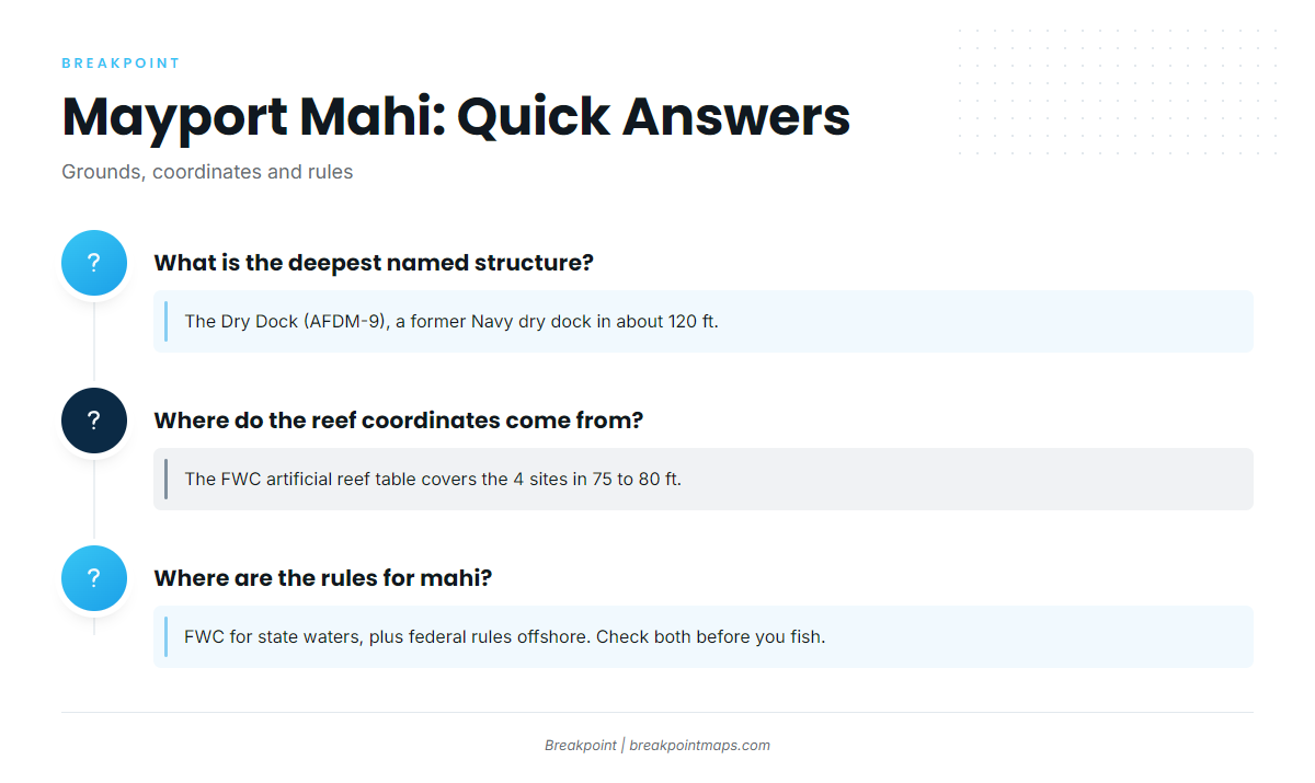
What is the deepest named structure off Mayport?
The Dry Dock (AFDM-9), a former Navy dry dock in about 120 ft. Spike Reef and Blackmar’s Reef sit shallower, in about 110 ft and 105 to 110 ft.
Where do the reef coordinates come from?
The four sites in 75 to 80 ft use coordinates from the FWC artificial reef table, listed in the grounds section above. Chart layers are not for navigation.
Which Mayport charters list mahi-mahi?
Strate Fishing Charters and Always Hookin Fishing Charters both list mahi-mahi among their target species.
Where are the rules for mahi caught off Mayport?
The FWC sets the state rules, and federal rules may apply on the offshore grounds. See the regulations section above, and check both before you fish.