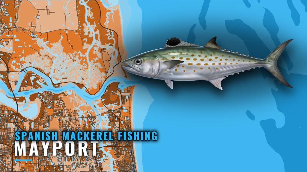
Spanish mackerel fishing out of Mayport is a summer fishery centered on Nine Mile Reef, with a set of named reefs and wrecks farther out. This guide covers the season, the run, and a depth-ordered table of named sites with the coordinates FWC publishes, so you can plan the day from numbers.
Spanish mackerel season at Mayport
Spanish mackerel are a summer fish at Nine Mile Reef, so that is the window to plan around. For how the fish move along the coast, see the Atlantic Southeast picture (see also the Atlantic Southeast region guide).
| Item | Detail |
|---|---|
| Season at Mayport | Summer |
| Anchor ground | Nine Mile Reef |
| Departure | St. Johns River entrance |
Where Mayport boats run
Mayport boats run to Nine Mile Reef for Spanish mackerel. They leave through the St. Johns River entrance and turn toward the reef grounds off the coast. Ramps, inlet notes, and where to read conditions are in the Mayport port guide.
How it’s fished
Tackle and technique are covered in the Spanish mackerel species guide.
Named reefs and wrecks off Mayport
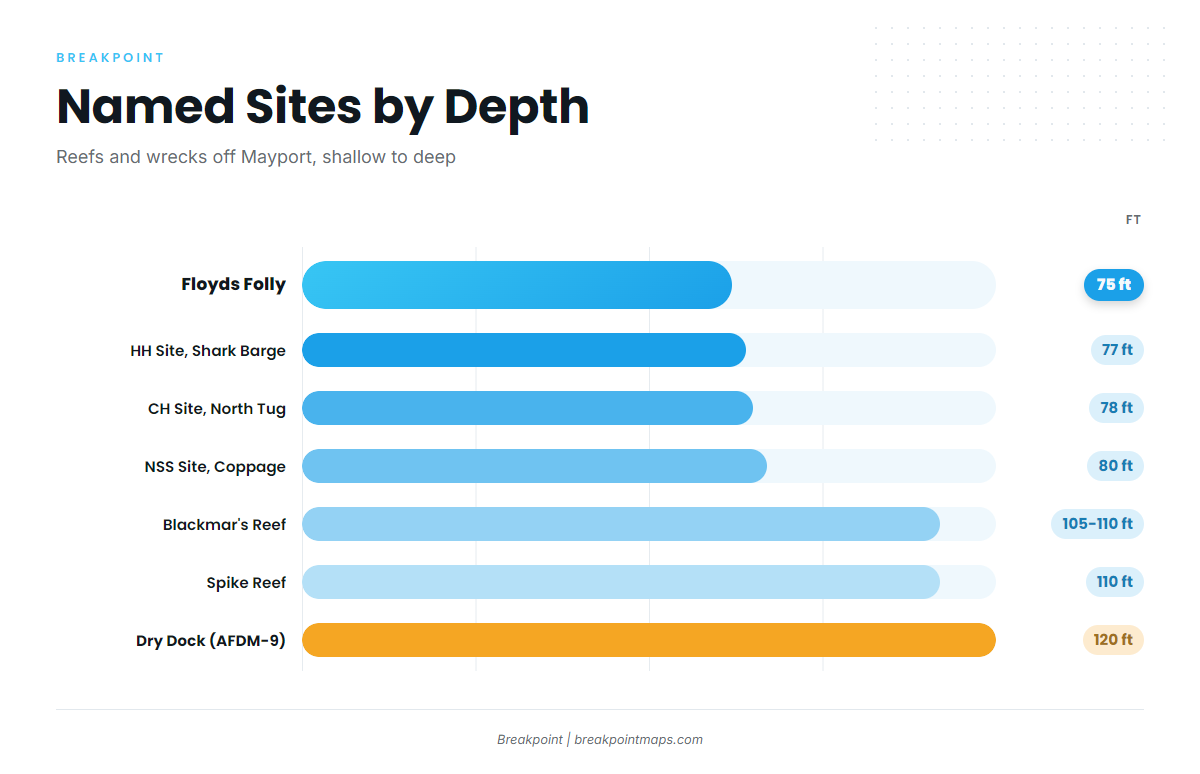
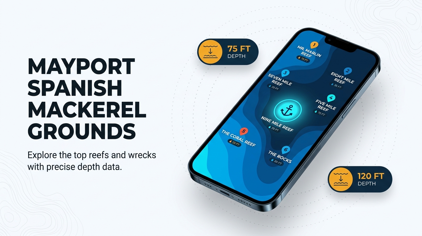
The reefs and wrecks below are ordered by depth. Boats reach Nine Mile Reef first, and these sites are the structure you can work outward from there. Coordinates for the FWC-listed sites are given as FWC publishes them. Chart layers are not for navigation.
| Site | Depth (ft) | Detail | Coordinates |
|---|---|---|---|
| Floyds Folly | 75 | FWC-listed site | 30 10.034 N, 81 09.322 W |
| HH Site, Shark Barge | 77 | FWC-listed site | 30 00.950 N, 81 04.718 W |
| CH Site, North Tug | 78 | FWC-listed site | 30 18.560 N, 81 04.150 W |
| NSS Site, Coppage Culverts | 80 | FWC-listed site | 30 17.296 N, 80 57.598 W |
| Blackmar’s Reef | 105 to 110 | Water depth 105 to 110 ft | – |
| Spike Reef | 110 | Bottom about 110 ft, wreck top about 75 ft | – |
| Dry Dock (AFDM-9) | 120 | Former Navy dry dock, about 45 miles southeast | – |
Spike Reef
The bottom is about 110 ft and the wreck top is about 75 ft, so read your sounder against both numbers when you mark it.
Coppage Culverts vs. Coppedge Tug
The NSS Site at 80 ft is the Coppage Culverts. The Coppedge Tug is a separate listing in shallow water, and it is easy to plot the wrong one if you don’t keep the two apart.
Dry Dock
The Dry Dock is the deepest and farthest site on the list: AFDM-9, a former Navy dry dock, at 120 ft and about 45 miles southeast.
Who fishes Spanish mackerel out of Mayport
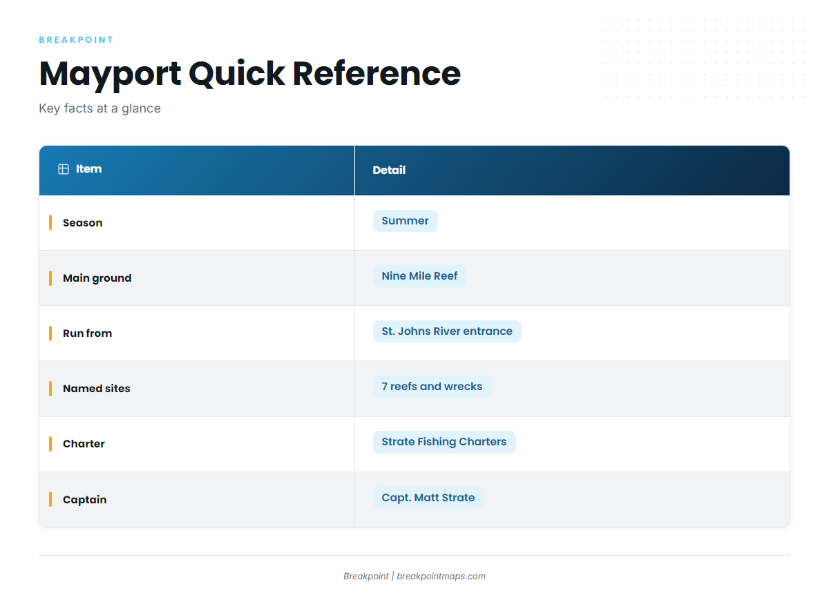
Strate Fishing Charters out of Mayport, run by Capt. Matt Strate, lists Spanish mackerel among its target species. A Mayport charter is one way to see the grounds before you run your own boat.
FAQ: Spanish mackerel fishing out of Mayport
When are Spanish mackerel at Mayport?
They are a summer fish at Nine Mile Reef, so plan trips for those months.
Where do Mayport boats run for them?
Boats run to Nine Mile Reef, leaving through the St. Johns River entrance. The named reefs and wrecks for working beyond it are in the table above.
What depths are the named reefs?
The FWC-listed sites sit at 75 to 80 ft. Blackmar’s Reef and Spike Reef are around 105 to 110 ft, and Spike’s wreck top is about 75 ft. The Dry Dock is 120 ft.
Is there a local charter that targets them?
Strate Fishing Charters, with Capt. Matt Strate, lists Spanish mackerel. For wider trip planning, see the coastal and offshore gamefish guides.
Where do I check wind and seas?
Forecast and buoy references for Mayport are in the Mayport port guide. Read the official NWS marine forecast before you run.