When the fish are around
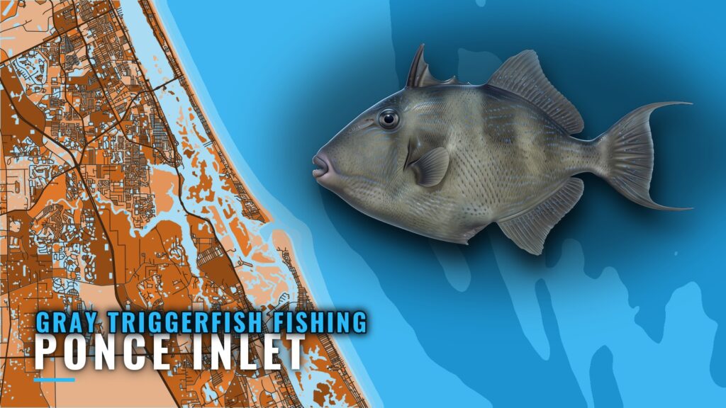
Gray triggerfish fishing out of Ponce Inlet is reef and wreck fishing, done in nearshore and offshore water. Boats leave from Ponce Inlet and work structure from the jetty at the inlet to ledges 40 miles or more out. Fish aren’t guaranteed. This page is meant to help you decide where to run. For the wider coast, see the gray triggerfish fishing in the Atlantic Southeast and the wider Atlantic Southeast guide.
FishAnywhere’s Ponce Inlet calendar lists September as the season. Triggerfish also appear on the reef trips Hull’s lists, so they are part of the general reef bottom mix and not a single-month target. For the wider picture around New Smyrna and Daytona, start with the reef fish guides.
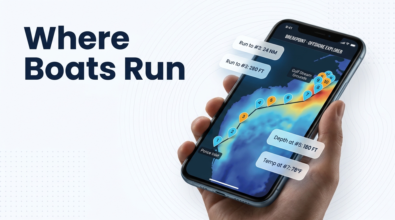
How far boats run
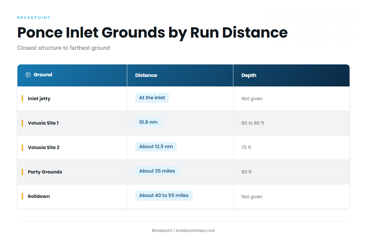
Run distances fall into two bands. The nearshore band covers the jetty at the inlet and the two Volusia artificial reef sites, at 10.8 and about 12.5 nm, in 60 to 80 ft. The offshore band starts with the Party Grounds at about 35 miles in 80 ft and extends to the Rolldown at about 40 to 55 miles.
Reef site distances are measured from the inlet or from the Bell Buoy. Offshore ground distances are approximate.
| Ground | Distance | Depth | Structure |
|---|---|---|---|
| Ponce Inlet jetty (Lighthouse Point Park) | At the inlet | Not given | 1,000 ft jetty |
| Volusia Site 1 | 10.8 nm from the inlet | 60 to 80 ft | Argoil barge, culverts |
| Volusia Site 2 | About 12.5 nm from the Bell Buoy at 067 degrees | 75 ft | Semarca, culverts |
| Cracker Ridge | A few miles west of the Party Grounds | Not given | Ridge |
| Mango Hole | On the way to the Party Grounds | Not given | Not given |
| Party Grounds | About 35 miles | 80 ft | Offshore ground |
| East Ridge | Alongside the Party Grounds | Not given | Trolling ground |
| Rolldown | About 40 to 55 miles | Not given | Offshore ground |
Which band to fish depends on how long a run you want. Sites 1 and 2 are roughly 11 to 13 nm out, while the Party Grounds and Rolldown are 35 miles or more each way.
Grounds and structure off Ponce Inlet
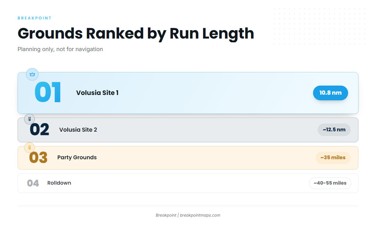
The grounds below are listed in order of run from the inlet. Positions and headings are for planning, not for navigation.
Ponce Inlet jetty (Lighthouse Point Park)
The jetty is 1,000 ft long and sits inside Lighthouse Point Park at the inlet. It is the closest structure to the dock.
Volusia Artificial Reef Site 1: Argoil barge and culverts
Site 1 is 10.8 nm from the inlet, in 60 to 80 ft. The structure is the Argoil barge and a set of culverts. The Volusia County Reef Report summary documents the site.
Volusia Artificial Reef Site 2: Semarca and culverts
Site 2 sits in 75 ft, about 12.5 nm from the Bell Buoy at 067 degrees. The structure is the Semarca and culverts. Cracker Ridge lies near it.
Cracker Ridge
Cracker Ridge is a few miles west of the Party Grounds, near Volusia Site 2, and connects the nearshore reefs to the offshore band.
Mango Hole
Mango Hole, according to FishingBooker, sits on the way out to the Party Grounds, which makes it a natural stop on the outbound leg.
Party Grounds
The Party Grounds sit in 80 ft, about 35 miles offshore, according to FishingBooker’s Ponce Inlet overview. Mango Hole, Cracker Ridge and East Ridge are all located relative to it.
East Ridge
East Ridge is named as a trolling ground alongside the Party Grounds, so a single run can combine trolling with bottom stops.
Rolldown
The Rolldown is the farthest ground on this list, about 40 to 55 miles offshore.
How it is fished here
Triggerfish here are fished on reef and wreck structure, both nearshore and offshore. That means the barge and culverts at Sites 1 and 2, and the offshore grounds past 35 miles. For tackle, bait and biology, see the gray triggerfish guide.
Who fishes for them out of Ponce Inlet
Hull’s Sea Lover is docked in Ponce Inlet and lists gray triggerfish on its reef trips. It is a good charter to try if you want to see the local reef bottom before running your own boat.
FAQ: gray triggerfish out of Ponce Inlet
When is triggerfish season at Ponce Inlet?
September, according to FishAnywhere’s calendar. Triggerfish also appear on the reef trips Hull’s lists, so they are part of the reef bottom mix.
How far is the Party Grounds from Ponce Inlet?
About 35 miles offshore, in 80 ft, according to FishingBooker. Mango Hole sits on the way out, so it makes a natural stop on the run.
How do you find Volusia Reef Site 2?
Site 2 sits in 75 ft, about 12.5 nm from the Bell Buoy at 067 degrees. The structure is the Semarca and culverts. Treat the position as a planning figure, not a navigation fix.
Is the Ponce Inlet jetty an option?
The jetty is 1,000 ft long, inside Lighthouse Point Park, and is the closest structure to the dock. The structure listed for triggerfish here is reef and wreck, nearshore and offshore.
Which Ponce Inlet charter lists gray triggerfish?
Hull’s Sea Lover, docked in Ponce Inlet, lists gray triggerfish on its reef trips.