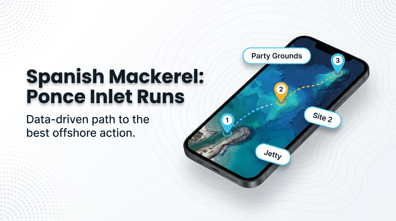
Spanish mackerel fishing out of Ponce Inlet covers a wide range of runs, from a jetty at the inlet mouth to a ledge 40 to 55 miles offshore. This reference covers the months the calendar shows fish, how far boats run, and every named mark from the jetty to the Rolldown, nearest first.
When Spanish mackerel are off Ponce Inlet
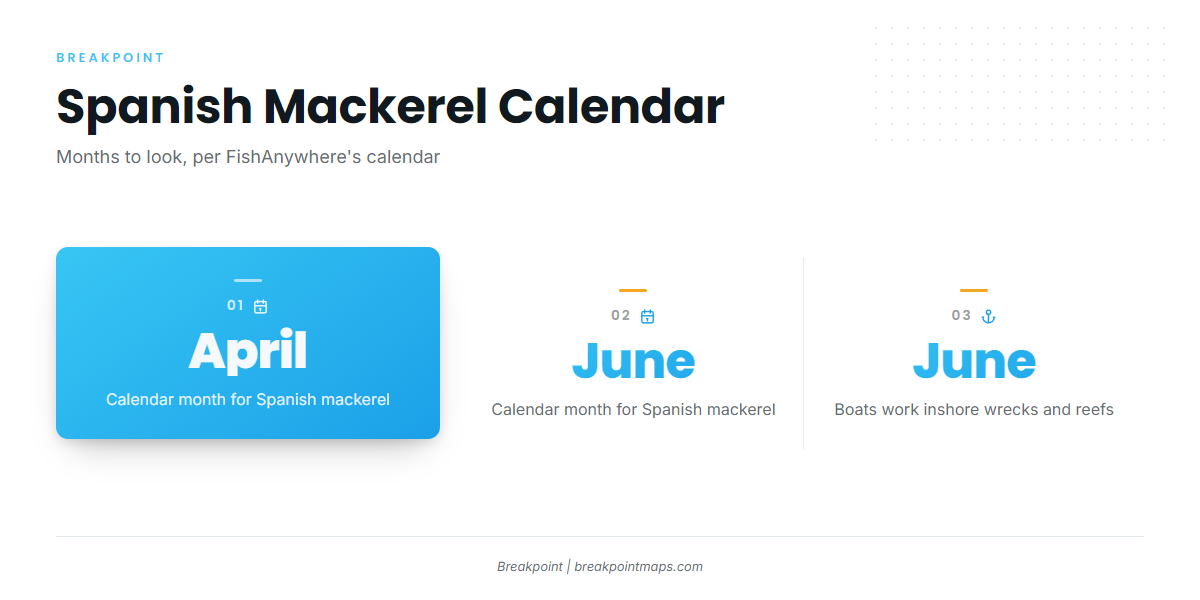
FishAnywhere’s Ponce Inlet calendar shows Spanish mackerel in April and June. Those months tell you when to look, and they don’t guarantee fish. In June, boats work inshore wrecks and reefs, which is where to start planning.
The coastwide migration behind those months is covered in the Atlantic Southeast spanish mackerel guide (see also the Atlantic Southeast offshore fishing guide).
| Month | What the calendar shows |
|---|---|
| April | Spanish mackerel listed |
| June | Spanish mackerel listed, with boats working inshore wrecks and reefs |
How far boats run
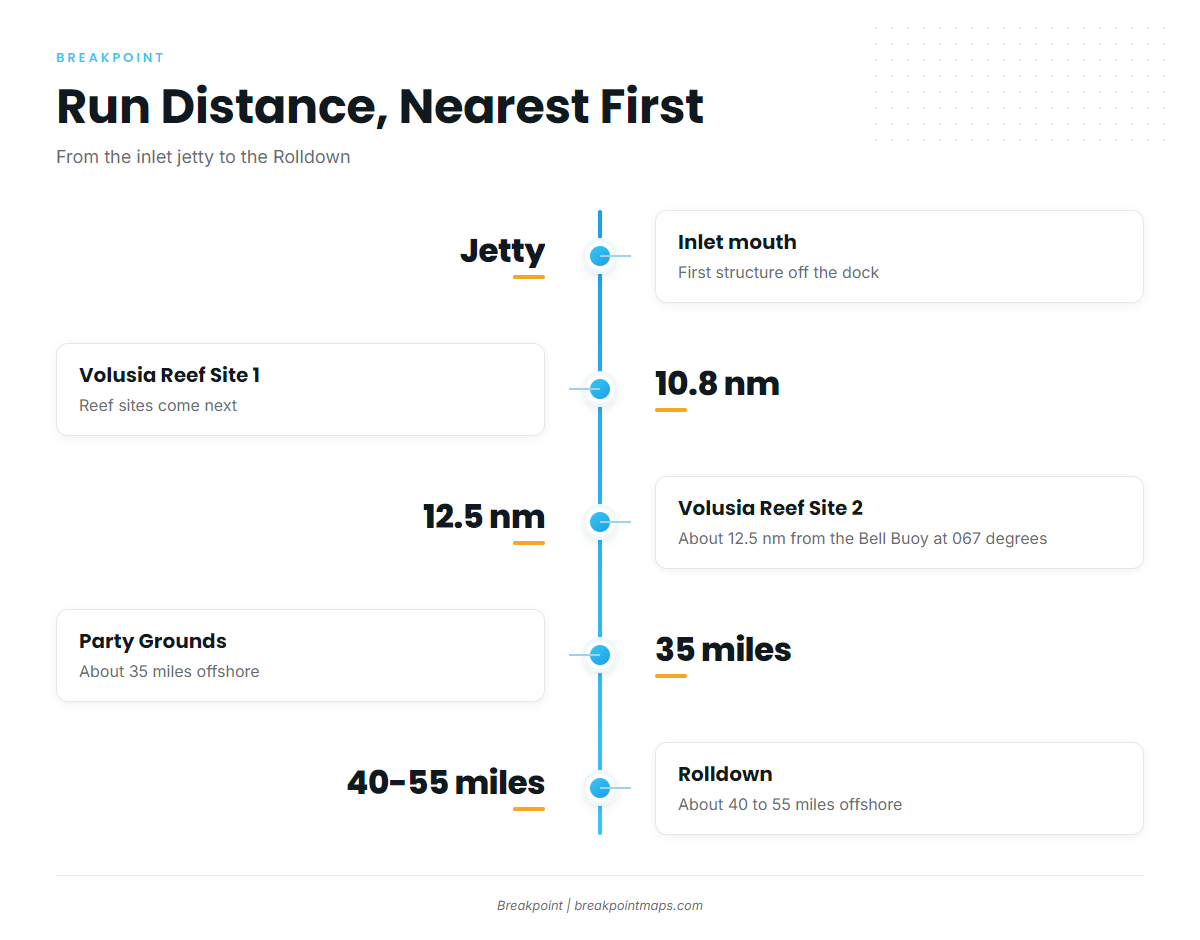
The jetty sits at the inlet mouth. The Volusia reef sites are 10.8 nm out and about 12.5 nm from the Bell Buoy at 067 degrees. The Party Grounds are about 35 miles offshore, and the Rolldown is about 40 to 55 miles.
Boats work inshore wrecks and reefs in June. On a small boat, the jetty is the nearest structure and the reef sites are next. Boats running offshore pass the mid-route marks on the way out.
For longer runs that combine mackerel with bigger targets, see the offshore gamefish guides.
Grounds and structure
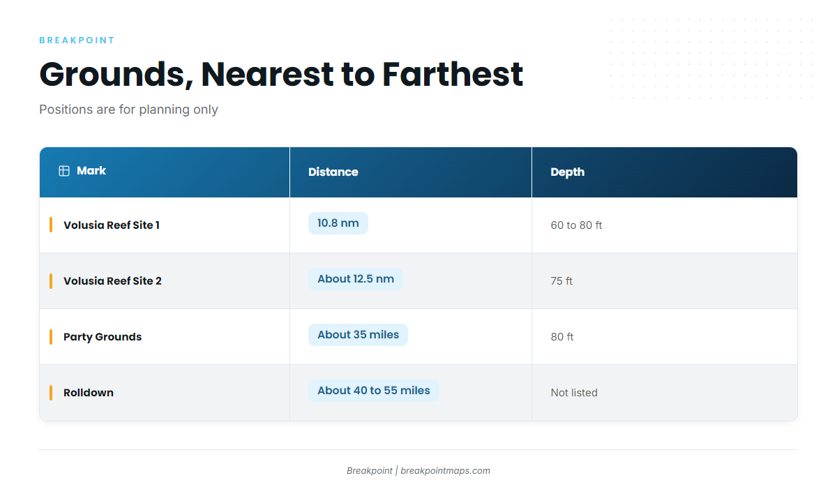
The marks below run from nearest to farthest. Positions are for planning only, and chart layers should not be used for navigation.
| Name | Distance (as given) | Depth (as given) | Notes |
|---|---|---|---|
| Ponce Inlet jetty (Lighthouse Point Park) | 1,000 ft jetty at the inlet | ||
| Volusia Artificial Reef Site 1 (Argoil barge and culverts) | 10.8 nm from the inlet | 60 to 80 ft | |
| Volusia Artificial Reef Site 2 (Semarca and culverts) | About 12.5 nm from the Bell Buoy at 067 degrees | 75 ft | |
| Mango Hole | On the way out to the Party Grounds | ||
| Cracker Ridge | A few miles west of the Party Grounds, near Site 2 | ||
| Party Grounds | About 35 miles offshore | 80 ft | |
| East Ridge | Trolling ground named alongside the Party Grounds | ||
| Rolldown | About 40 to 55 miles offshore |
Ponce Inlet jetty
The jetty is 1,000 ft long and sits inside Lighthouse Point Park at the inlet. It is the first structure off the dock.
Volusia Reef Site 1
Volusia Artificial Reef Site 1, the Argoil barge and culverts, is 10.8 nm from the inlet in 60 to 80 ft. The Volusia County reef summary lists the county’s reef sites.
Volusia Reef Site 2
Site 2, the Semarca and culverts, is in 75 ft, about 12.5 nm from the Bell Buoy at 067 degrees.
Mango Hole
Mango Hole is on the way out to the Party Grounds, per FishingBooker’s Ponce Inlet fishing notes.
Cracker Ridge
Cracker Ridge is a few miles west of the Party Grounds, near Volusia Site 2.
Party Grounds
The Party Grounds are in 80 ft, about 35 miles offshore per FishingBooker. They serve as the reference point for the mid-route marks.
East Ridge
East Ridge is named as a trolling ground alongside the Party Grounds.
Rolldown
The Rolldown is about 40 to 55 miles offshore, the far end of the run range.
How it’s fished and who fishes here
Boats work inshore wrecks and reefs in June, per FishAnywhere. East Ridge is named as a trolling ground alongside the Party Grounds.
For tackle, lures and general technique, use the spanish mackerel fishing guide.
Private boats run out of the inlet, and the Ponce Inlet charter fleet works the same water.
FAQ about Spanish mackerel at Ponce Inlet
Which months do Spanish mackerel show off Ponce Inlet?
April and June on FishAnywhere’s calendar. In June, boats work inshore wrecks and reefs.
How far is Volusia Reef Site 2?
About 12.5 nm from the Bell Buoy at 067 degrees, in 75 ft. It is the Semarca and culverts.
Where are the Party Grounds?
About 35 miles offshore in 80 ft, per FishingBooker. Mango Hole is on the way out.
What is Cracker Ridge near?
It is a few miles west of the Party Grounds, near Volusia Site 2.
Where are the rules for fishing from Ponce Inlet?
Florida’s regulations page covers state rules, and the federal mackerel and cobia rules page covers federal waters. Check the agency page before fishing.
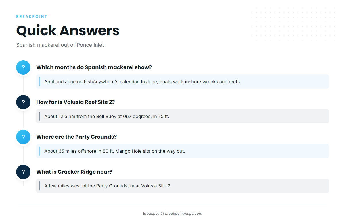
Quick answers on Spanish mackerel fishing out of Ponce Inlet.