When greater amberjack are around Fort Pierce
Greater amberjack fishing out of Fort Pierce runs all year. Colossal Catch’s species chart lists amberjack as "All Year," and FishingBooker’s Fort Pierce guide places them on nearshore and offshore reefs year-round. The wider picture is in the greater amberjack fishing in the Atlantic Southeast and the Atlantic Southeast region guide.
Biology, size and general seasonality are covered in our greater amberjack species guide. This page covers the local picture: the directions boats run from the inlet, the named shoals and wrecks, and the charters that work them.
Where boats run from Fort Pierce Inlet
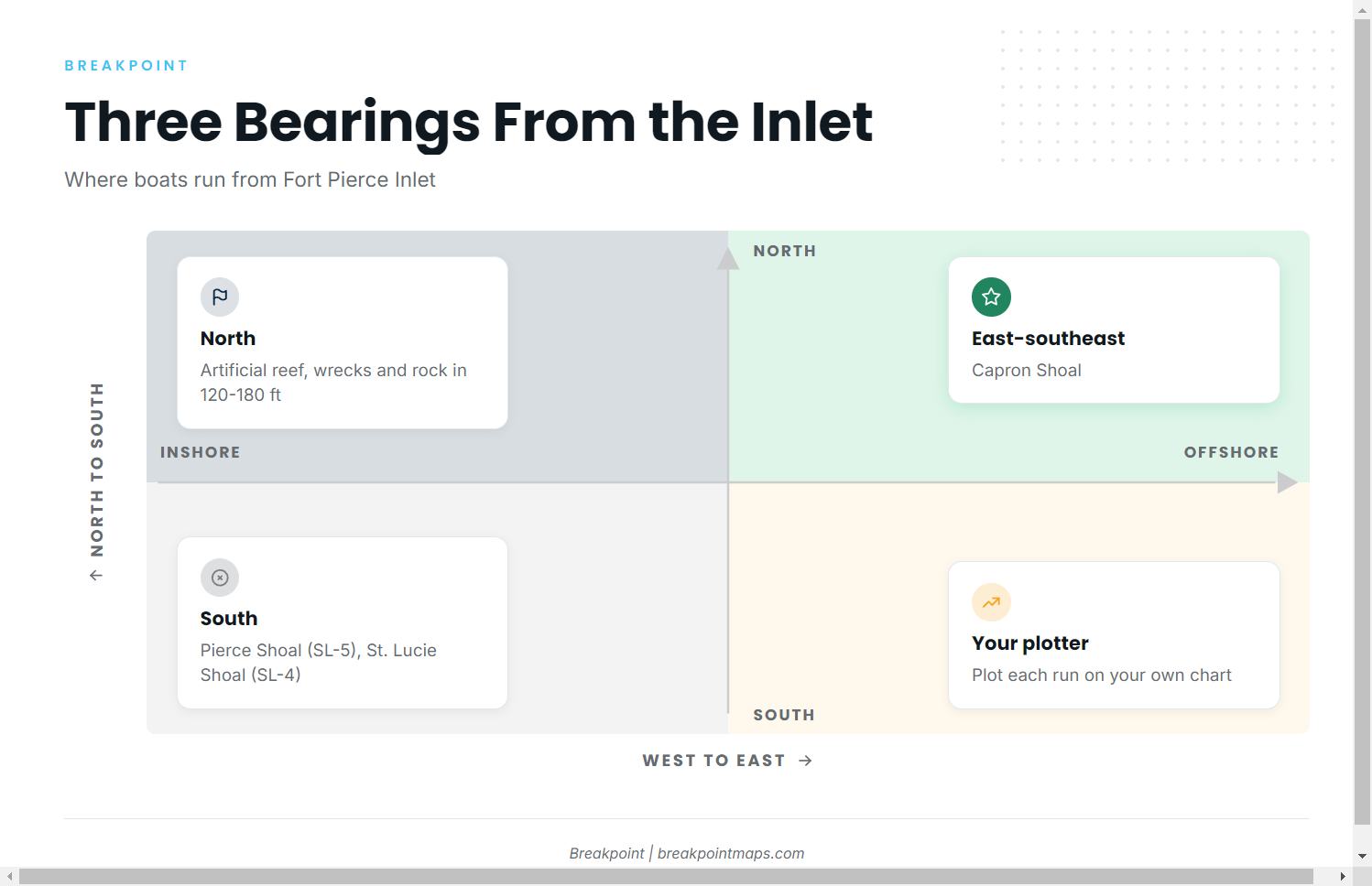
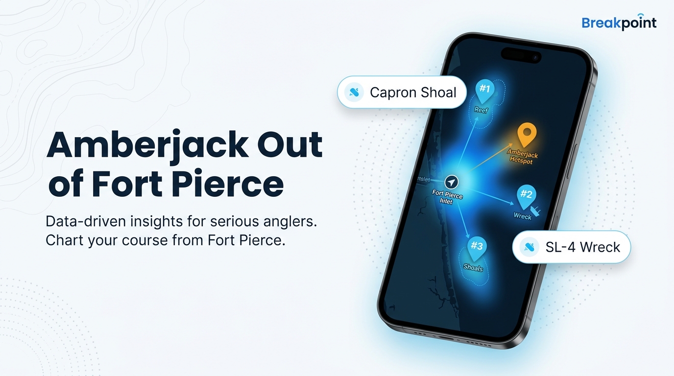
Every run starts at Fort Pierce Inlet. From the jetties, the named grounds fall along three bearings:
- North: an artificial reef about a mile long, just north of the inlet, plus artificial wrecks and rock areas in 120-180 ft of water.
- East-southeast: Capron Shoal.
- South: Pierce Shoal (SL-5), due south of Capron Shoal, and St. Lucie Shoal (SL-4), about halfway between Fort Pierce and St. Lucie inlets.
The wreck and rock ground north of the inlet is the deepest named band. The shoals are shallower, natural ground. Plot each run on your own chart and plotter before leaving the dock.
Grounds and structure off Fort Pierce
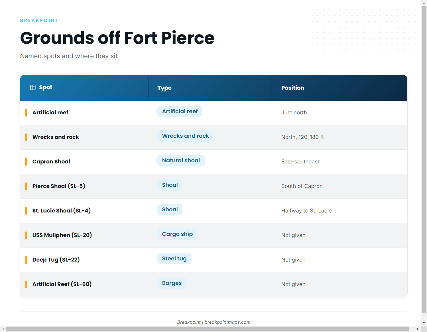
The area divides into natural shoal ground and built structure: sunk vessels, barge loads and artificial reef. Structure positions on our chart layers are not for navigation, so confirm them on official charts and your own sonar.
| Spot | SL number | Type | Position from inlet | Size/depth |
|---|---|---|---|---|
| Artificial reef (unnamed) | none given | artificial reef | just north | about 1 mile long |
| Artificial wrecks and rock areas | none given | wrecks and rock | north | 120-180 ft |
| Capron Shoal | none given | natural shoal | east-southeast | not given |
| Pierce Shoal | SL-5 | shoal | due south of Capron Shoal | not given |
| St. Lucie Shoal | SL-4 | shoal | about halfway to St. Lucie Inlet | not given |
| USS Muliphen | SL-20 | C-2 attack cargo ship | not given | 459 x 63 ft |
| Deep Tug (Ft Pierce Artificial) | SL-22 | steel tug | not given | 155 ft |
| Ft Pierce Artificial Reef | SL-60 | barges | not given | five 25 x 60 ft barge loads |
Swipe the table sideways to see every column.
North artificial reef
The reef is about a mile long and sits just north of Fort Pierce Inlet. No name is listed for it.
Wrecks and rock areas in 120-180 ft
These artificial wrecks and rock areas lie north of the inlet in 120-180 ft of water, the deepest band named here. Use that range as the planning depth.
Capron Shoal
Capron Shoal is natural ground east-southeast of Fort Pierce Inlet. It also serves as the reference point for locating Pierce Shoal.
Pierce Shoal (SL-5)
Pierce Shoal sits due south of Capron Shoal and is listed as SL-5.
St. Lucie Shoal (SL-4)
St. Lucie Shoal lies about halfway between Fort Pierce and St. Lucie inlets and is listed as SL-4.
USS Muliphen (SL-20)
The USS Muliphen is a C-2 attack cargo ship, 459 x 63 ft, listed as SL-20.
Deep Tug (SL-22)
Listed as Ft Pierce Artificial, Deep Tug, this is a 155-foot steel tug numbered SL-22.
Ft Pierce Artificial Reef (SL-60)
SL-60 consists of five barge loads, each 25 x 60 ft.
How amberjack are fished here
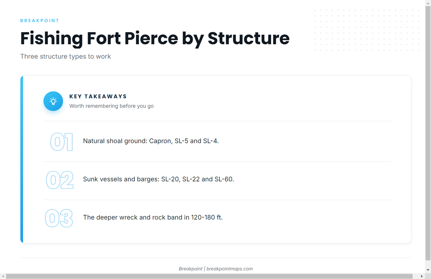
Greater amberjack are worked over structure, and the structure around Fort Pierce falls into three types:
- Natural shoal ground: Capron Shoal, Pierce Shoal (SL-5) and St. Lucie Shoal (SL-4).
- Sunk vessels and barges: the USS Muliphen (SL-20), the Deep Tug (SL-22) and the barge reef (SL-60).
- The deeper wreck and rock band: the artificial wrecks and rock areas in 120-180 ft north of the inlet.
Choose the structure type first, then match your approach to the depth. For the wider reef-fish picture along this coast, see our reef fish fishing guides.
Who fishes for amberjack out of Fort Pierce
Two local charters list greater amberjack among their species:
- Hot Reels Offshore Adventures: Captain Philipe Chibas runs a 31-foot Bluewater center console built in Fort Pierce.
- Colossal Catch Charter Fishing: Capt. Jonathon takes up to 6 guests.
FAQ: greater amberjack fishing out of Fort Pierce
Are greater amberjack around Fort Pierce year-round?
Yes. They hold on nearshore and offshore reefs in every month.
Which direction do boats run from Fort Pierce Inlet for amberjack?
Boats run three ways:
- North: the artificial reef and the wrecks and rock areas in 120-180 ft.
- East-southeast: Capron Shoal.
- South: Pierce Shoal (SL-5) and St. Lucie Shoal (SL-4).
What is the deepest named structure off Fort Pierce?
The artificial wrecks and rock areas north of the inlet, in 120-180 ft of water.
What do the SL numbers mean?
They are the listing numbers for the named sites: SL-4, SL-5, SL-20, SL-22 and SL-60. Use them to find each spot in a chart or site list.
Which charters list amberjack out of Fort Pierce?
Hot Reels Offshore Adventures, with Captain Philipe Chibas, and Colossal Catch Charter Fishing, with Capt. Jonathon.
Where are the amberjack rules for Fort Pierce?
Florida’s Atlantic regulations apply, not the Gulf rules. Check the state agency’s page before fishing.