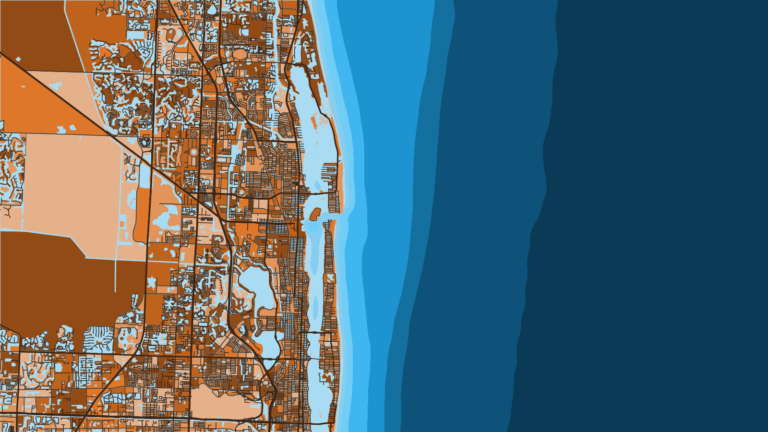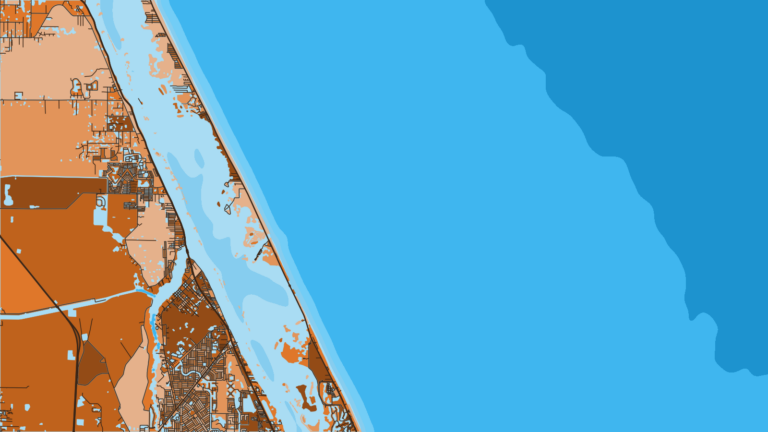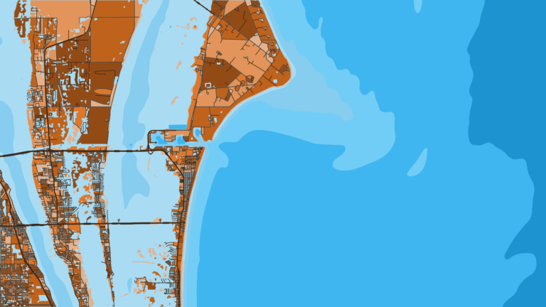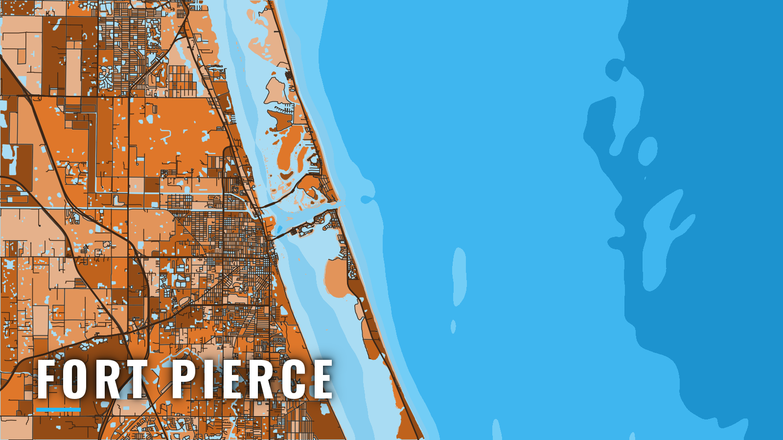

About Fort Pierce
Fort Pierce Inlet is a jettied cut through the barrier island on Florida’s Atlantic coast. It connects the Indian River Lagoon and the Intracoastal Waterway to the Atlantic. Offshore fishing out of Fort Pierce runs year-round, with anglers targeting sailfish, mahi-mahi, cobia, blackfin tuna and kingfish, plus snapper and grouper on the reefs and shoals. Below: launch options, inlet behavior, the shoals worth watching, and what each season brings.
Access and navigation
Public ramps and marinas near Fort Pierce Inlet:
- Stan Blum Memorial Boat Ramp – public boat ramp near Fort Pierce Inlet
- Fisherman’s Wharf & Public Boat Ramp – public boat ramp
- Fort Pierce North Beach Causeway Wayside Park and Boat Ramp – public boat ramp on the North Beach Causeway
- Jaycee Park Public Boat Ramp – public boat ramp
- Causeway Cove Marina – marina
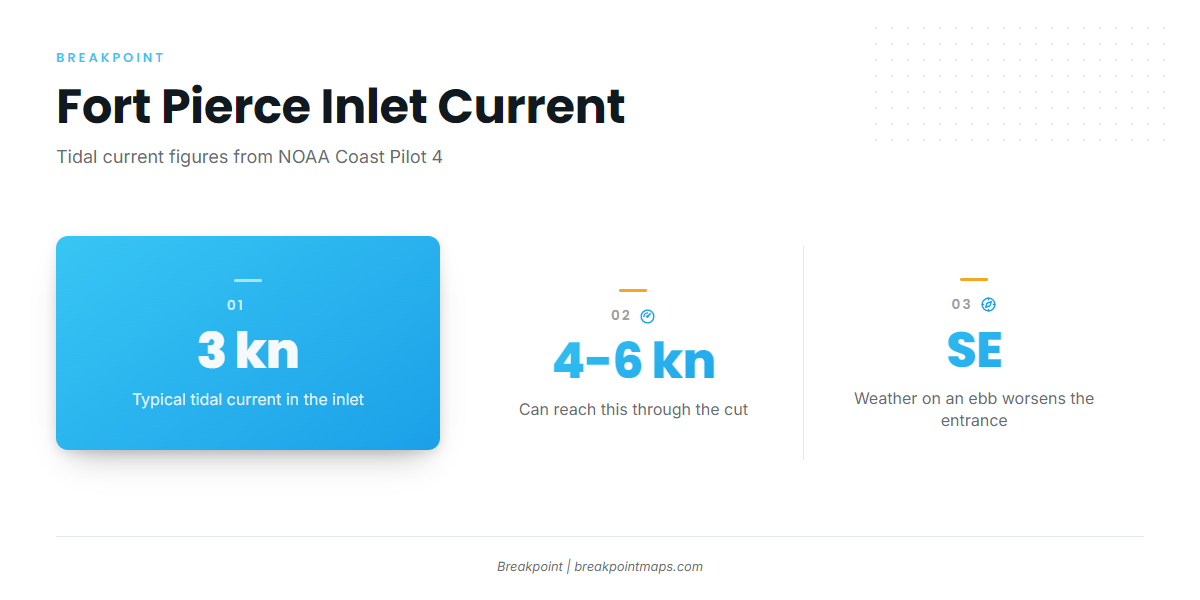
The entrance needs attention. According to the NOAA Coast Pilot 4 chapter, tidal current in the inlet runs about 3 knots and can reach 4 to 6 knots through the cut. Conditions tend to worsen in southeasterly weather on an ebb current, when current running against incoming seas steepens them. On the flood, a strong set runs north at the seaward end of the south jetty.
Inside the entrance, the current can set across the channel. Along the inner range, for about 0.8 mile, it pushes boats west on the flood and east on the ebb. Where the channel crosses the Intracoastal Waterway at the west end of Causeway Island, cross currents set south on the flood and north on the ebb. Shoaling tends to build from the north side of the channel just inside the jetties, abeam Coon Island, and in the turning basin. Channel depths vary between dredgings.
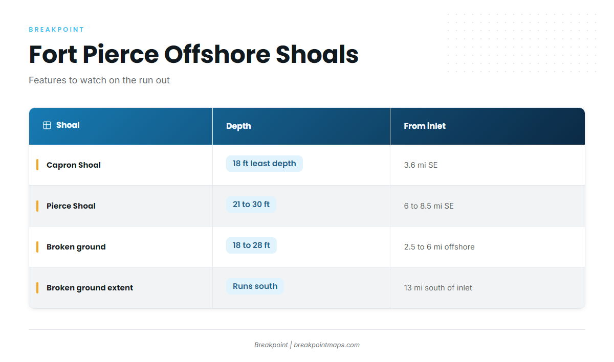
Watch these offshore shoals on the run out:
- Capron Shoal has a least depth of 18 ft about 3.6 miles southeast of the inlet.
- Pierce Shoal has 21 to 30 ft over it about 6 to 8.5 miles southeast.
- Broken ground with 18 to 28 ft over it runs 2.5 to 6 miles offshore for 13 miles south of the inlet.
St. Lucie Inlet, 20 miles south, is an alternative departure but not an easier one. Its entrance buoys are uncharted and are moved to mark the best water. Currents are reported to reach 7 knots, and breakers can occur, particularly on the ebb. Entry is reported easiest just on the flood side of slack. To the north, Sebastian Inlet is the only other inlet between Cape Canaveral and Fort Pierce Inlet.
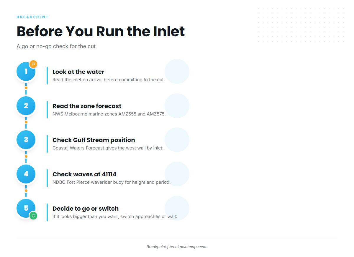
Before committing to the inlet, look at the water. Read the NWS Melbourne marine zone forecast for zones AMZ555 and AMZ575. The Coastal Waters Forecast for East Central Florida gives the Gulf Stream west wall position by inlet. Check wave height and period at NDBC station 41114, the Fort Pierce waverider buoy. Forecasts can miss, so what you see at the inlet takes priority. If it looks bigger than you want, switch approaches or wait.
Fishing conditions
The named offshore grounds out of Fort Pierce are Capron Shoal, Pierce Shoal and St. Lucie Shoal, where snapper and grouper work the reefs and shoals. The wider offshore pattern follows the Atlantic Southeast. Kingfish are a reef-line and nearshore staple, and slow-trolling and live-bait methods cover most of the water.
The OBS SST and Chlorophyll layers in Breakpoint show the Gulf Stream west wall and temperature breaks. Chart layers are not for navigation.
Check the Florida Fish and Wildlife Conservation Commission (FWC) saltwater regulations before you fish. Atlantic red snapper runs on a seasonal quota, so its dates come from FWC.
Winter
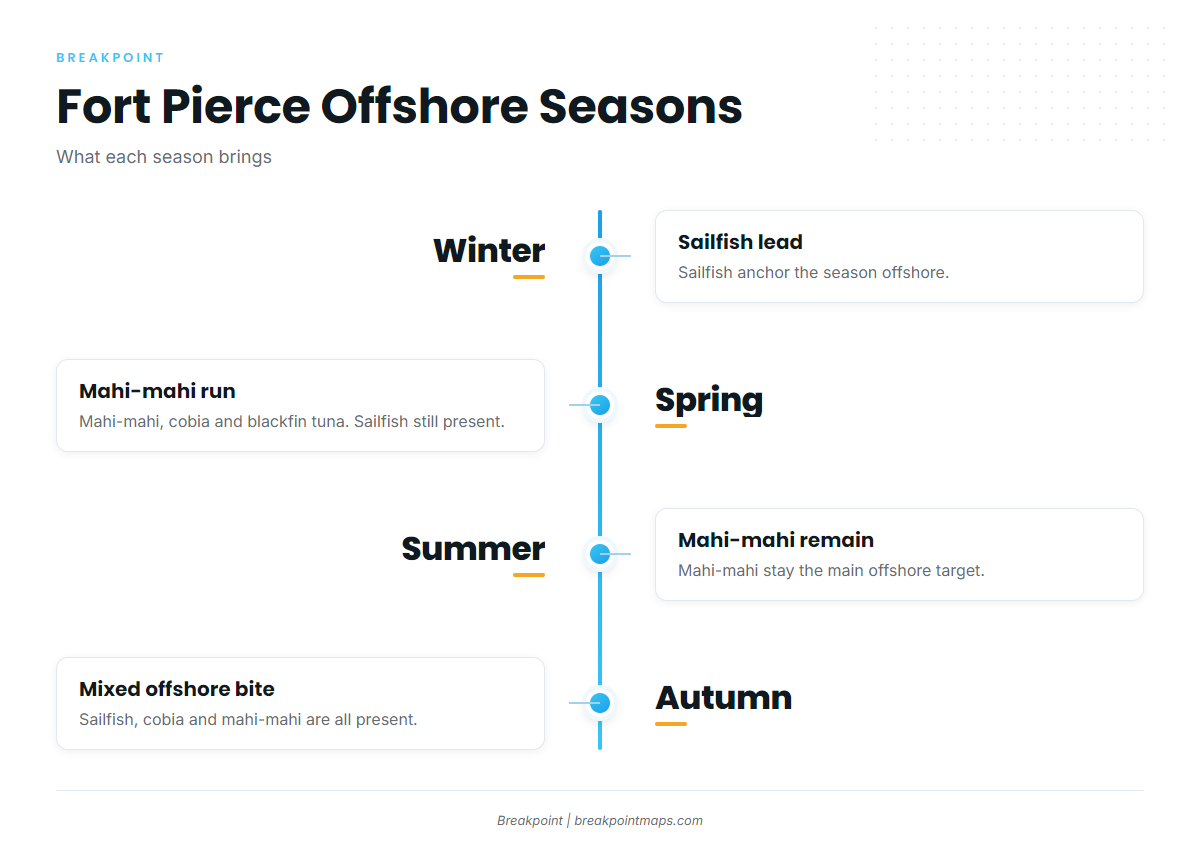
Sailfish anchor the season. The sailfish run along the Atlantic Southeast shows up off Fort Pierce, and kite and live-bait methods are the standard approach.
Spring
Mahi-mahi anchor the season. The spring mahi-mahi run is the main event offshore, and weedline and trolling methods find them. Cobia and blackfin tuna are also on the board, and sailfish are still present.
Summer
Mahi-mahi remain the main offshore target.
Autumn
Sailfish, cobia and mahi-mahi are all present.