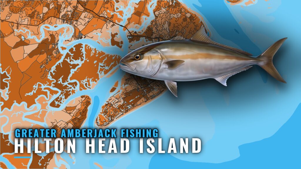
Greater amberjack fishing out of Hilton Head Island centers on summer, a short list of SC DNR artificial reefs and wrecks, and bait dropped to structure in about 50 ft. This page covers when the fish are around, which named structure to start on, how local boats fish it, and who fishes it from this port. The wider picture is in the greater amberjack fishing in the Atlantic Southeast and the Atlantic Southeast region guide.
When greater amberjack are off Hilton Head Island
Greater amberjack are a summer fish here. The Hilton Head Island guide lists them as a summer species, so plan the trip around that and then pick your structure.
Where boats run: reefs and wrecks
For offshore reef and wreck bottom trips, boats run to the permitted SC DNR artificial reefs and wrecks off the island. The PA numbers below match the SC DNR reef designations, so each one can be cross-referenced against the state’s own listings. For the wider reef-fish picture, see the reef fish guides.
Hilton Head Reef (PA-49)
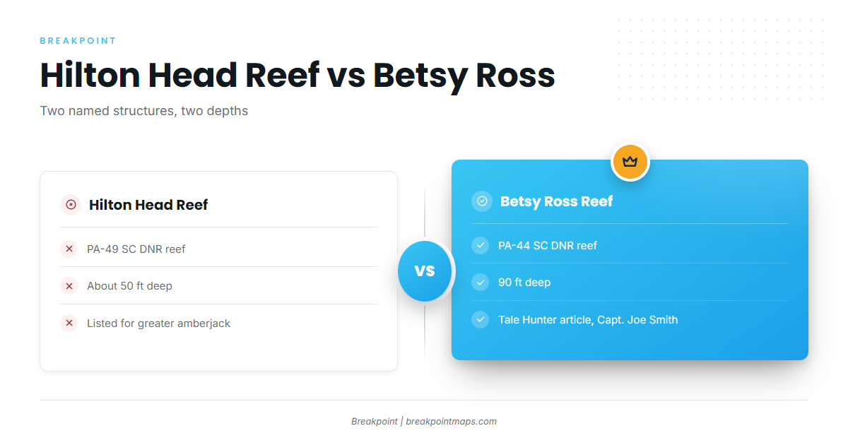
Hilton Head Reef sits in about 50 ft. According to the SC DNR-based reef guide, it is the only named ground listed for greater amberjack, which makes it the logical first stop.
Betsy Ross Reef (PA-44)
Betsy Ross Reef sits in 90 ft, 40 ft deeper than Hilton Head Reef. Tale Hunter Hilton Head Fishing Charters features it in an article that names Capt. Joe Smith.
Other named structure
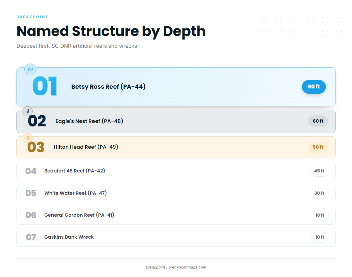
Nearby named structure runs from 60 ft down to 9 ft. The table lists it deepest first.
| Name | PA number | Type | Depth (ft) |
|---|---|---|---|
| Eagle’s Nest Reef | PA-48 | reef | 60 |
| Beaufort 45 Reef | PA-42 | reef | 45 |
| White Water Reef | PA-47 | reef | 30 |
| General Gordon Reef | PA-41 | wreck | 18 |
| Gaskins Bank Wreck | wreck | 10 | |
| Fish America Reef | PA-45 | reef | 9 |
Reading the water
NOAA tide station 8669167 (Port Royal Plantation, Hilton Head) is the local water-level reference for timing the run and the drop. Before leaving the dock, read the official marine forecast numbers for wind, wave height and period. Chart layers are not for navigation.
- Station: NOAA tide station 8669167
- Location: Port Royal Plantation, Hilton Head
- Use: water-level reference for timing the run and the drop
How it is fished locally
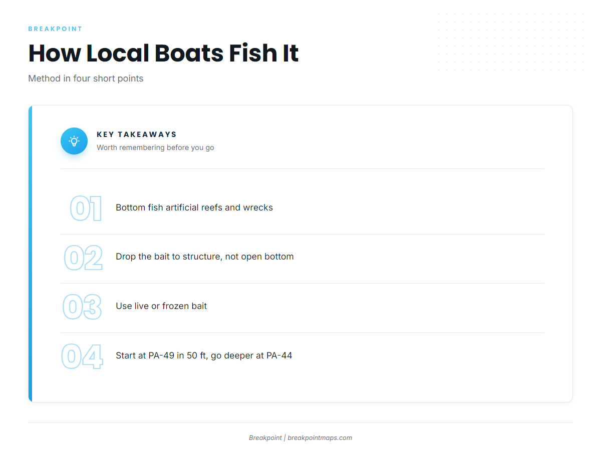
Tale Hunter’s offshore trips bottom fish artificial reefs and wrecks with live or frozen bait. Tackle and biology are covered in the greater amberjack species guide.
Bottom fishing structure
The bait goes down to the reef or wreck rather than open bottom. The method is bottom fishing at artificial reefs and wrecks.
Live or frozen bait
Local trips use either live or frozen bait. Carry both if you can.
Working about 50 ft
At about 50 ft, depth determines how much line goes down and where you hold the boat so the bait sits over the structure. Start at Hilton Head Reef (PA-49), where the species is listed. Betsy Ross Reef (PA-44) at 90 ft is the deeper option.
Who fishes for them out of this port
Tale Hunter Hilton Head Fishing Charters lists greater amberjack among its species, and Capt. Joe Smith is named on its Betsy Ross Reef article. Private boats run the same structure.
FAQ about greater amberjack fishing out of Hilton Head Island
When are greater amberjack around Hilton Head Island?
Summer, according to the Hilton Head Island guide. Hilton Head Reef (PA-49) is the ground listed for the species.
Which reef do boats run to for greater amberjack?
Hilton Head Reef (PA-49) is listed for greater amberjack in the SC DNR-based reef guide. Betsy Ross Reef (PA-44) is the subject of a Tale Hunter article. The other named structure is worth reading on the chart but is not a listed amberjack ground.
How deep is Hilton Head Reef?
About 50 ft. Betsy Ross Reef (PA-44) is deeper at 90 ft. Named structure near the island runs from 9 to 90 ft across the full list.
What bait do local boats use?
Live or frozen bait, bottom fished at artificial reefs and wrecks. That is how Tale Hunter’s offshore trips run. Bring both and match them to what the day gives you.
Where do I check tides before running out?
NOAA tide station 8669167 (Port Royal Plantation, Hilton Head) is the local water-level reference. Check the official marine forecast numbers for wind, wave height and period as well. Chart layers are not for navigation.