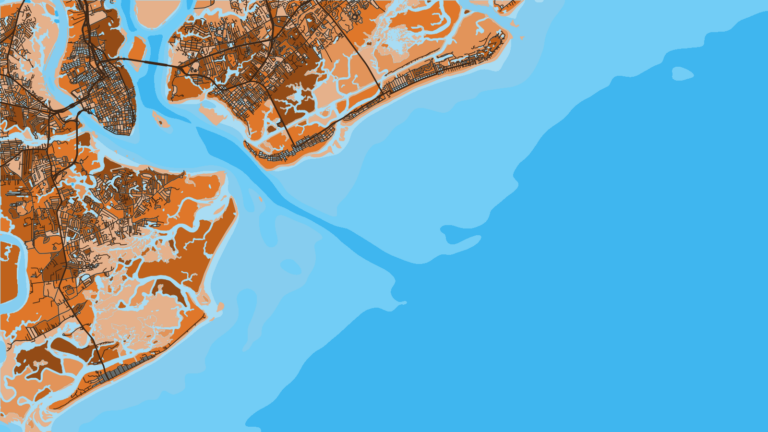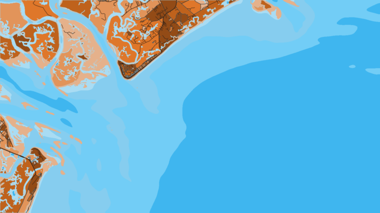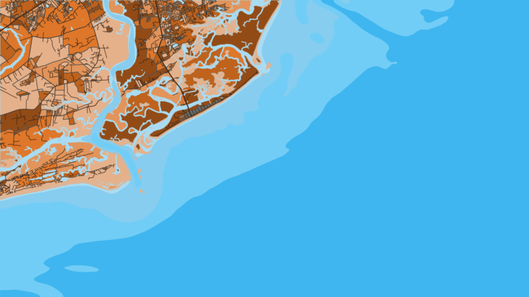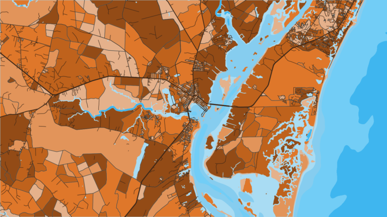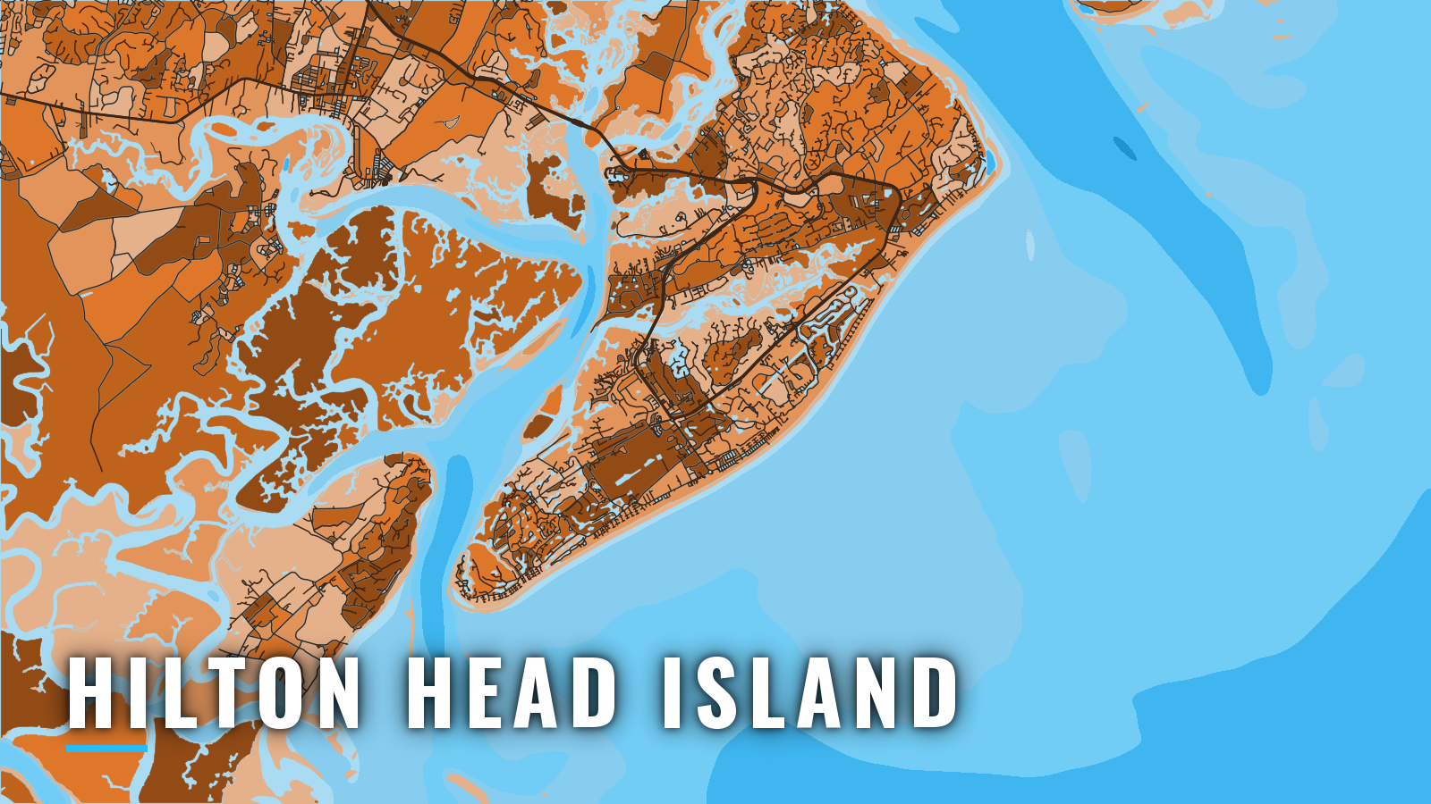

About Hilton Head Island
Hilton Head Island sits between Port Royal Sound to the north and Calibogue Sound to the south and west, with the open Atlantic and its reef grounds off the beach. Boats get out through either sound. Cobia, king mackerel, Spanish mackerel, black sea bass and reef bottom fish work the nearshore grounds, with mahi and wahoo farther out. The Atlantic Southeast species patterns show how those fish move up and down the coast.
The year splits into a cool-water reef and bottom season and a warm-water pelagic season. SC license, reef fish gear and red snapper rules are on our South Carolina page. Check SCDNR fishing regulations before you fish.
Access and navigation
Public ramps and the main marina on Hilton Head Island:
- Cross Island Boat Landing – Broad Creek ramp with access to Calibogue Sound.
- C.C. Haigh Jr. Boat Landing – Mackay and Skull Creek ramp at the north end, toward Port Royal Sound.
- Buckingham Boat Landing – mainland-side ramp near the bridges.
- Harbour Town Yacht Basin – Calibogue-side marina with slips.
Many of these ramps are tidal, so check the tide before you launch.
Port Royal Sound
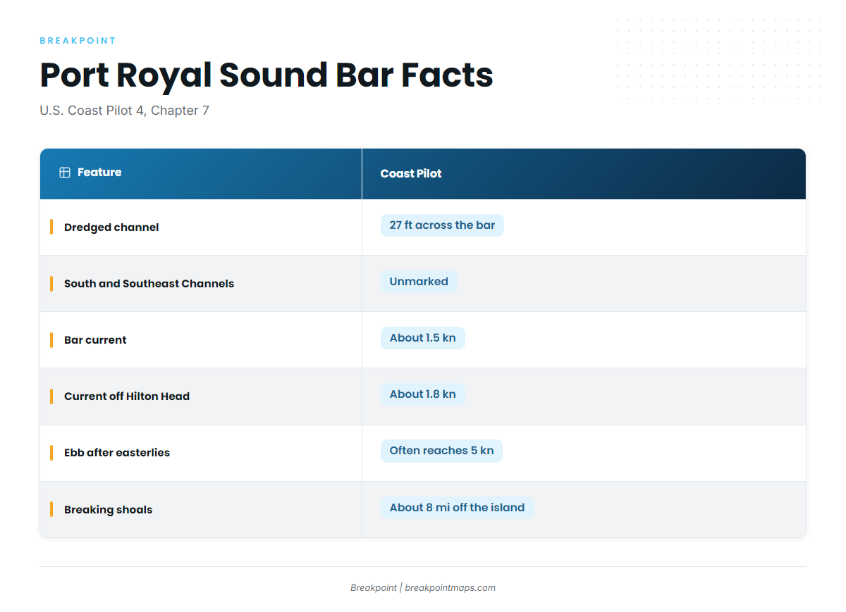
Port Royal Sound is the deep-water way out. According to the U.S. Coast Pilot 4, Chapter 7 (Charleston Harbor to Savannah River), the dredged channel is 27 ft deep across the bar and is marked by lights, lighted ranges and buoys. The entrance is at Lighted Buoy P. South Channel and Southeast Channel through the breakers are unmarked.
Tidal current on the bar runs about 1.5 kn, and about 1.8 kn off Hilton Head. After prolonged easterly winds the ebb often reaches 5 kn. Tide rips on Fishing Rip can look like breakers, and breaking shoals extend about 8 miles off the island. A strong ebb running out against an onshore wind tends to stack the water at the bar, and conditions are usually worst after a run of easterlies.
Inside: Skull Creek or Mackay Creek
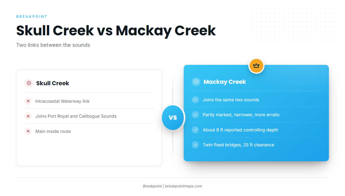
Skull Creek is the Intracoastal Waterway link between Port Royal Sound and Calibogue Sound. Mackay Creek also joins the two sounds, but it is only partly marked, narrower and more erratic. Reported controlling depth is about 8 ft, with twin fixed bridge spans of 25 ft clearance. Measure your T-top, tower and antennas against 25 ft before you choose Mackay.
Calibogue Sound as the alternative
The Calibogue Sound entrance, between Hilton Head and Daufuskie Island, is obstructed by shifting shoals with several crooked channels. The shoals can move faster than the chart updates, so use the chart as a starting point and read the water. It is the south-end option from Broad Creek and Harbour Town.
Fog
Around Port Royal Sound, fog occurs mostly in winter and can appear from October to April. Easterly winds bring it in, westerlies clear it, and it usually burns off in the forenoon.
Before you commit
Look at the water on arrival and read the official forecast. If the entrance looks bigger than you want, switch approaches or wait. The NWS Charleston marine zone forecasts cover the area:
- AMZ362, Edisto Beach SC to Savannah GA out 20 NM.
- AMZ382, 20 to 60 NM, for runs past the reefs.
The forecast gives the general picture, but the bar shows what the ebb is doing at the time you arrive.
Fishing conditions
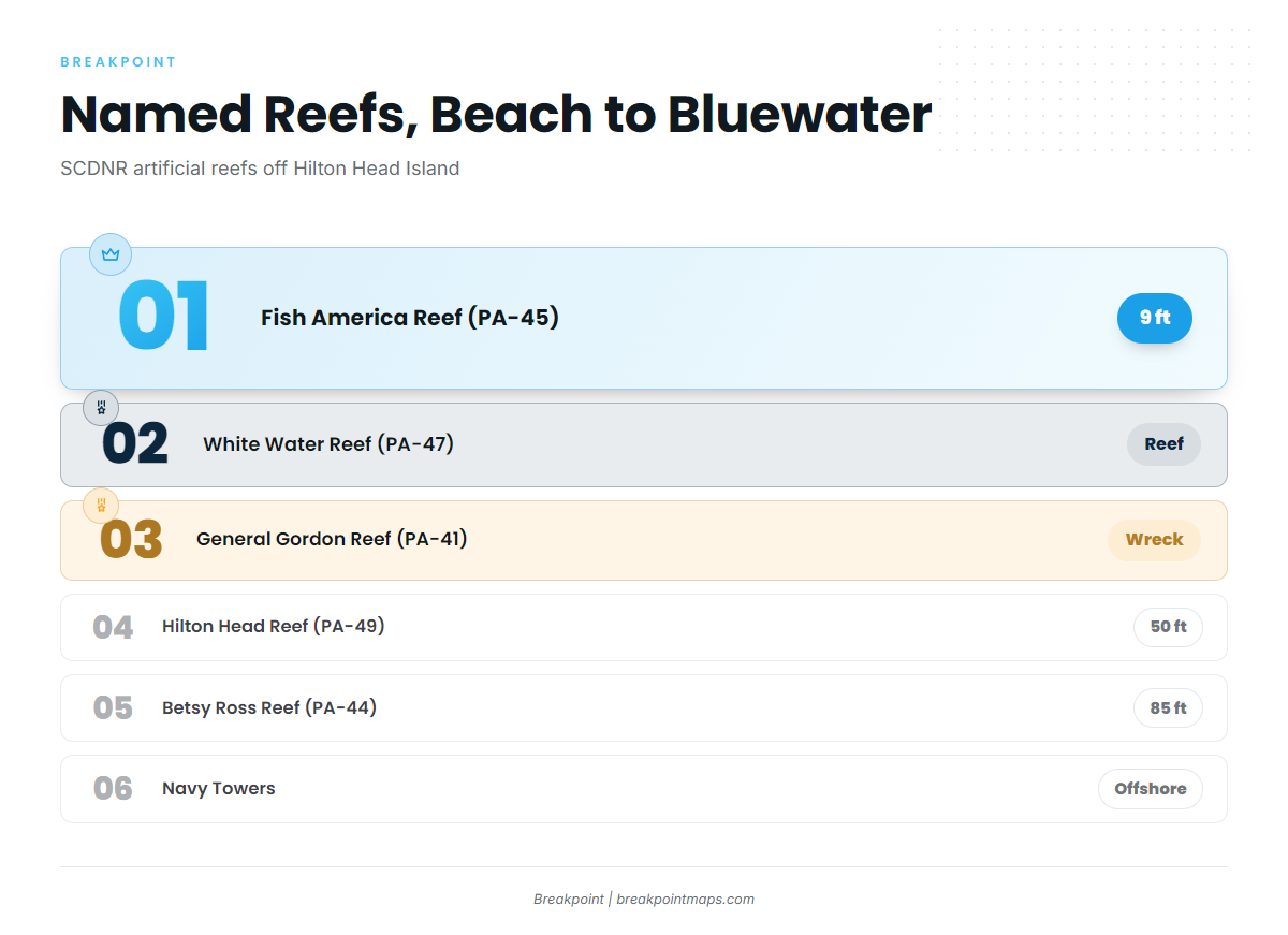
The grounds off Hilton Head Island are mostly SCDNR artificial reefs, carried under SCDNR permit numbers (PA). They run from the beach outward: nearshore reefs, then the 50 to 85 ft reefs, then the Navy Towers, with the Gulf Stream a long run beyond.
In the app, OBS SST and Chlorophyll show where edges set up, and Chart Contours shows the ledges. Chart layers are not for navigation.
Named grounds, roughly from the beach outward:
- Fish America Reef (PA-45) – reef, 9 ft
- White Water Reef (PA-47) – reef
- General Gordon Reef (PA-41) – wreck
- Hilton Head Reef (PA-49) – reef, 50 ft
- Beaufort 45 Reef (PA-42) – reef
- Eagle’s Nest Reef (PA-48) – reef
- Betsy Ross Reef (PA-44) – wreck, 85 ft
- Navy Towers – offshore structure
Red snapper terms are set each year through the SCDNR Red Snapper Project. Check it before any bottom trip.
Winter
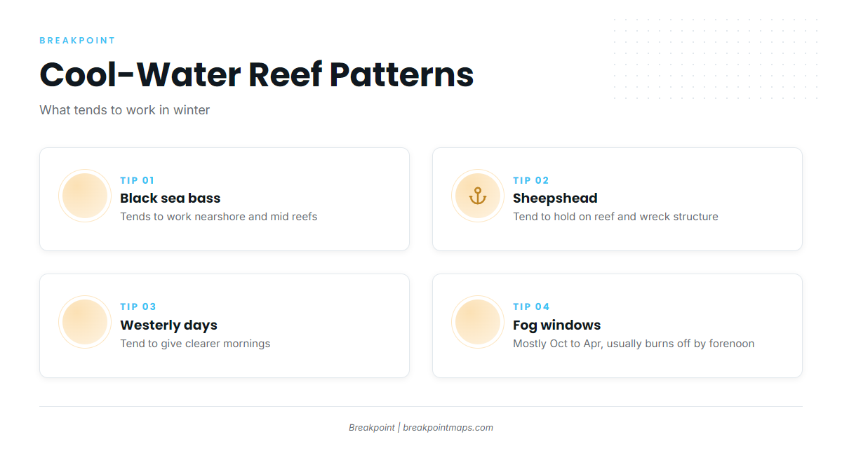
Black sea bass tends to work the nearshore and mid reefs in cool water. Sheepshead tend to hold on reef and wreck structure. Westerly days tend to give clearer mornings when fog is in the forecast.
Spring
Cobia tend to show around the Port Royal Sound shoals and the reefs. Cobia rules in state waters south of Edisto differ from the rest of the coast, so check SCDNR. King and Spanish mackerel follow the warming water, and the Spanish mackerel arrive along the same coast.
Summer
King mackerel tend to work the reefs. Spanish mackerel tend to work the nearshore reefs and the sound mouths. Sharks and tarpon work nearshore. Mahi might be found offshore toward the Gulf Stream for boats making the long run past the Navy Towers.
Autumn
The fall king run tends to move along this coast. Spanish mackerel linger, and bull red drum tend to stack at the sound mouths. Wahoo can be a target offshore.