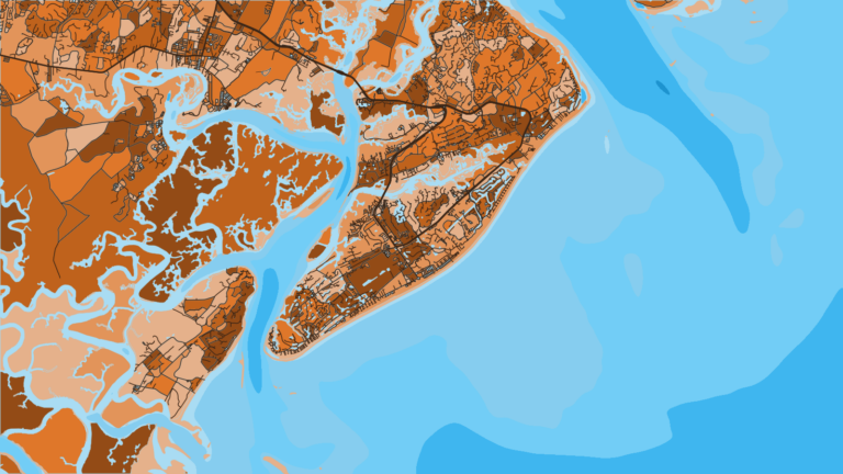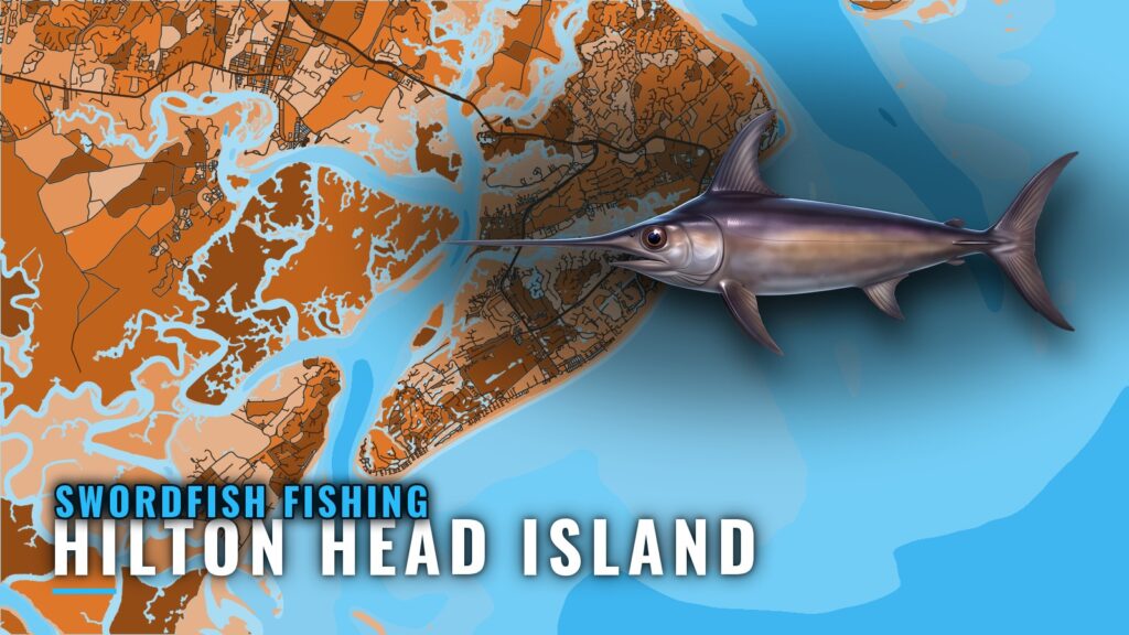
Swordfish fishing out of Hilton Head Island
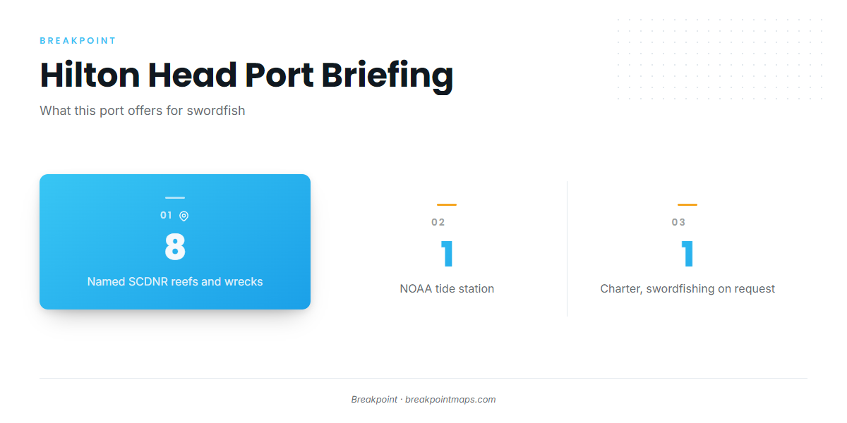
Swordfish fishing out of Hilton Head Island offers eight named SCDNR reefs and wrecks to stage from, one NOAA tide station for timing, and one local charter that takes swordfishing trips on request. The island sits between Port Royal Sound and Calibogue Sound, and boats can start the run out from either. Timing and depth habitat for the species are covered in the swordfish species guide. This page covers the tide reference, the reef depths and the operator.
Getting offshore from Hilton Head
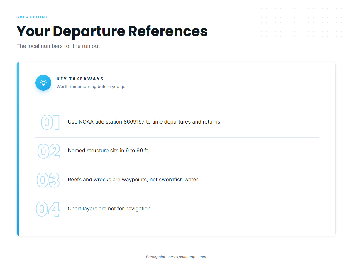
The local numbers for the run out are the tide station and the structure depths. Seasonal patterns and how far boats run are part of the regional picture, which the Atlantic Southeast swordfish guide (see also the Atlantic Southeast offshore fishing guide) covers.
Tides at Port Royal Plantation
NOAA tide station 8669167 (Port Royal Plantation, Hilton Head) is the local tide reference for timing departures and returns. It is a tide station, not a buoy, so use it for water-level numbers and check the official forecast for everything else.
Reefs and wrecks as waypoints
The named structure off the island sits in 9 to 90 ft. These are nearshore waypoints and staging marks on the way out, not swordfish water. Chart layers are not for navigation.
Named reefs and wrecks off Hilton Head
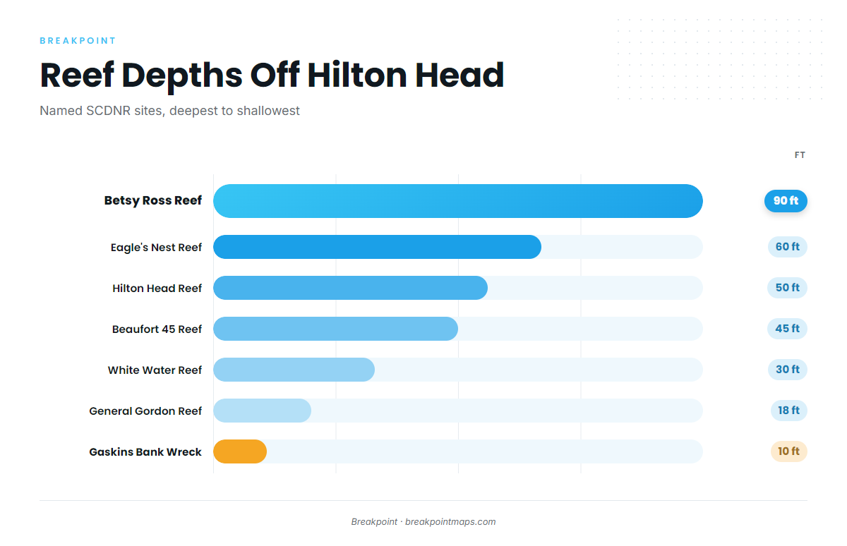
The SCDNR artificial reef program assigns the PA designations. The table runs from deepest to shallowest, which shows the depth gradient on the way out.
| Name | PA number | Depth (ft) | Type |
|---|---|---|---|
| Betsy Ross Reef | PA-44 | 90 | – |
| Eagle’s Nest Reef | PA-48 | 60 | – |
| Hilton Head Reef | PA-49 | 50 | – |
| Beaufort 45 Reef | PA-42 | 45 | – |
| White Water Reef | PA-47 | 30 | – |
| General Gordon Reef | PA-41 | 18 | wreck |
| Gaskins Bank Wreck | – | 10 | wreck |
| Fish America Reef | PA-45 | 9 | – |
SCDNR gives coordinates only for Beaufort 45.
How swordfish are fished from this port
The one local charter that lists swordfish offers swordfishing on request and states no method. For anyone comparing a Hilton Head swordfish charter with running their own boat, that listing is all the local information there is.
Above and Below Charters (Salty Mistress Sport Fishing)
Above and Below Charters operates as Salty Mistress Sport Fishing. It runs a 2002 Rampage 38 Express with twin Caterpillar diesels and offers swordfishing on request. For methods and other ports, see the billfish and swordfish guides.
FAQ: swordfish out of Hilton Head
Is there a swordfish charter on Hilton Head?
Yes. Above and Below Charters (Salty Mistress Sport Fishing) lists swordfish, offered on request. It runs a 2002 Rampage 38 Express with twin Caterpillar diesels.
How deep is Betsy Ross Reef?
Betsy Ross Reef (PA-44) sits in 90 ft, the deepest named SCDNR site off the island. It works as a waypoint on the way out and is not swordfish water.
Which tide station covers Hilton Head?
NOAA tide station 8669167, Port Royal Plantation, Hilton Head. It is a tide station, not a buoy, and it is the local reference for water-level timing.
What method do local boats use for swordfish?
The local charter offers swordfishing on request and lists no method. The swordfish species guide covers methods.
Does SCDNR publish coordinates for these reefs?
Of the named sites, SCDNR gives coordinates only for Beaufort 45 Reef (PA-42, 45 ft). Chart layers are not for navigation.