When mahi-mahi are off Wachapreague
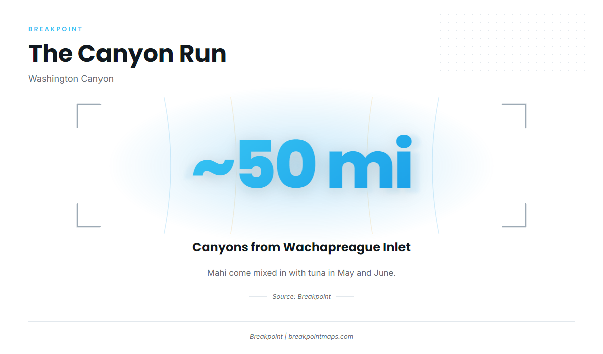
Mahi-mahi fishing out of Wachapreague happens mixed in with tuna in May and June. If you run from Wachapreague through the inlet for tuna, plan the day around the tuna grounds and expect dolphin in the mix. The other fish on that run are covered in our offshore gamefish guides. For the wider Mid-Atlantic picture, see mahi-mahi off the Atlantic Northeast (see also the Atlantic Northeast fishing guide).
Where boats run for mahi off Wachapreague
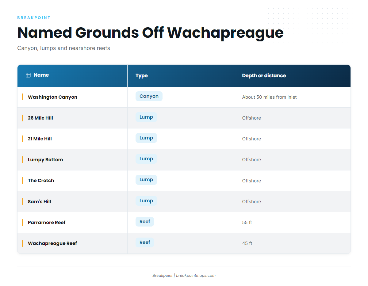
Boats run offshore to the canyons and lumps. The nearshore reefs are named marks on the way out.
26 Mile Hill
26 Mile Hill is off Wachapreague. The 2009 local reports put gaffer dolphin on 26 Mile Hill and southeast of it. Treat that as a place to start looking, since it doesn’t guarantee fish.
Washington Canyon
The canyons are about 50 miles from Wachapreague Inlet. Washington Canyon is the named canyon, and boats run there when conditions point to deep water.
Other lumps
21 Mile Hill is also off Wachapreague. Lumpy Bottom, The Crotch and Sam’s Hill are named grounds on the same offshore side of the chart.
Nearshore reefs
Parramore Reef sits in 55 ft and Wachapreague Reef in 45 ft. Both are named nearshore structure on the way out and aren’t mahi spots.
| Name | Type | Depth or distance |
|---|---|---|
| Washington Canyon | Canyon | About 50 miles from Wachapreague Inlet |
| 26 Mile Hill | Lump | |
| 21 Mile Hill | Lump | |
| Lumpy Bottom | Lump | |
| The Crotch | Lump | |
| Sam’s Hill | Lump | |
| Parramore Reef | Reef | 55 ft |
| Wachapreague Reef | Reef | 45 ft |
The OBS SST and Chart Contours layers in Breakpoint help with planning the run to these lumps and canyons. Chart layers are not for navigation.
Before you run the inlet, check the water level and tide at Wachapreague Channel station WAHV2, NOAA CO-OPS station 8631044 (37.608N 75.686W). Use the official numbers to make your own call.
How mahi-mahi are fished out of Wachapreague
General behavior and tackle are covered in our mahi-mahi fishing guide. The notes below are specific to this port.
Trolling
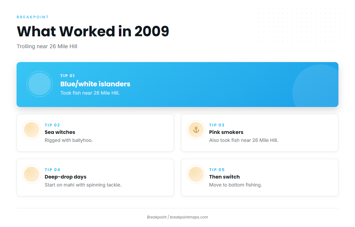
In 2009, these lures took fish near 26 Mile Hill:
- Blue/white islanders
- Sea witches with ballyhoo
- Pink smokers
That list reflects what worked in 2009 and shouldn’t be read as a rule.
Deep-drop days
Teaser’s deep-drop days start on mahi with spinning tackle, then switch to bottom fishing.
Who fishes for mahi out of Wachapreague
These local charters list mahi-mahi:
- Teaser Sportfishing LLC: lists mahi-mahi.
- Marlin Magic Charters: Marlin Magic, a 37-foot Topaz Express Sportfisherman, Capt Bill Tyson.
- Wachapreague Inn DayTrippers: lists mahi-mahi.
FAQ
When are mahi off Wachapreague?
Mixed in with tuna in May and June.
How far are the canyons from Wachapreague Inlet?
About 50 miles. Washington Canyon is the named canyon.
Where were gaffers reported?
The 2009 reports had gaffer dolphin on 26 Mile Hill and southeast of it.
What lures took fish?
In 2009: blue/white islanders, sea witches with ballyhoo, and pink smokers, near 26 Mile Hill.
Which charters list mahi?
Teaser Sportfishing LLC, Marlin Magic Charters (Capt Bill Tyson) and Wachapreague Inn DayTrippers.
Where do I check the inlet water level?
NOAA CO-OPS station 8631044, Wachapreague Channel (NDBC WAHV2).