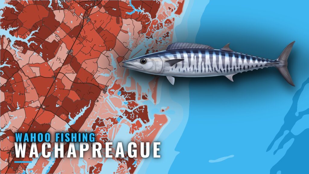
Wahoo fishing out of Wachapreague runs July through October, with fish offshore and at the canyons about 50 miles from Wachapreague Inlet. Wachapreague sits on the Eastern Shore of Virginia, and every run in this guide starts at its inlet. This page covers the season, the run, the named grounds, the local method and the operators who fish them.
When wahoo are off Wachapreague
Wahoo are off Wachapreague July through October, per Teaser Sportfishing. That window determines when the long run is worth planning.
- The season opens in July and closes at the end of October.
- Plan offshore days inside that window.
- For biology and tackle, see our wahoo species guide.
How far boats run from Wachapreague Inlet
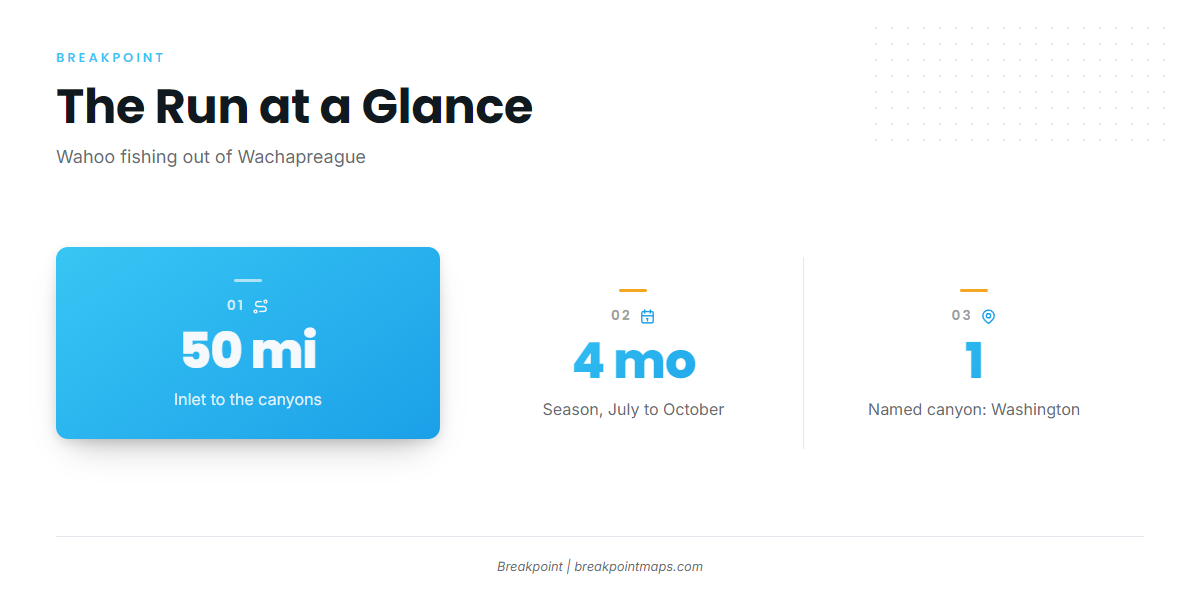
Boats run offshore and to the canyons for wahoo. How far you go determines your fuel use and the length of your day.
The canyons: about 50 miles out
The canyons are about 50 miles from Wachapreague Inlet, and Washington Canyon is the named canyon on this run. For the wider Mid-Atlantic and Northeast picture (see also the Atlantic Northeast fishing guide), see our regional guide.
Reading the water at the inlet
NOAA CO-OPS tide station 8631044, Wachapreague Channel, is where to read water levels before running the channel. It reports under NDBC ID WAHV2 at 37.608N 75.686W. Check the NDBC station WAHV2 page before you leave the dock.
Named grounds and structure off Wachapreague
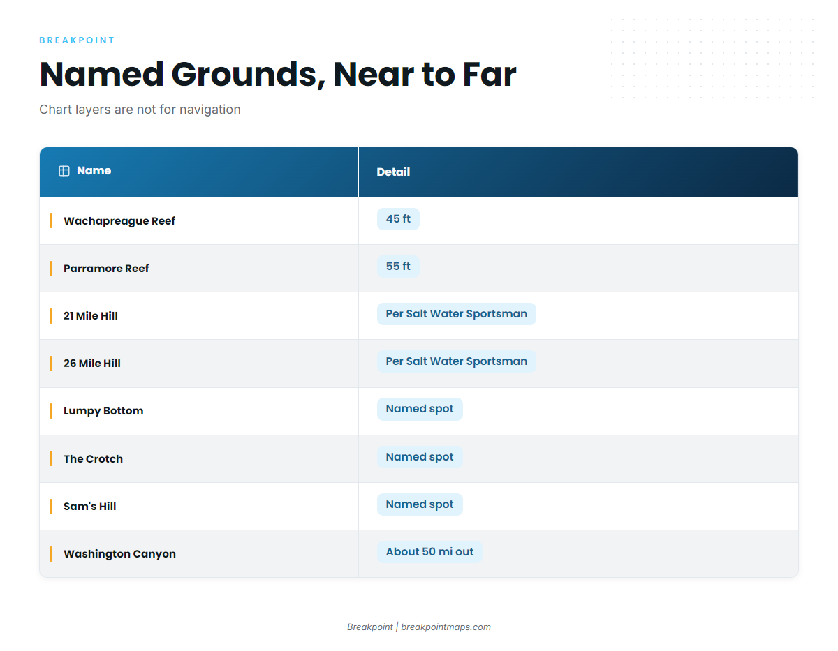
The named grounds and structure below run from the reefs out to the canyon. Chart layers are not for navigation.
Nearshore reefs
Both reefs are named structure on the way out.
| Name | Depth |
|---|---|
| Wachapreague Reef | 45 ft |
| Parramore Reef | 55 ft |
The hills: 21 Mile and 26 Mile
Salt Water Sportsman places 21 Mile Hill and 26 Mile Hill off Wachapreague.
Other named spots
Lumpy Bottom, The Crotch and Sam’s Hill are the other named spots on the chart.
Washington Canyon
Washington Canyon is a named canyon, and the canyons sit about 50 miles from Wachapreague Inlet.
How wahoo are fished here and who fishes them
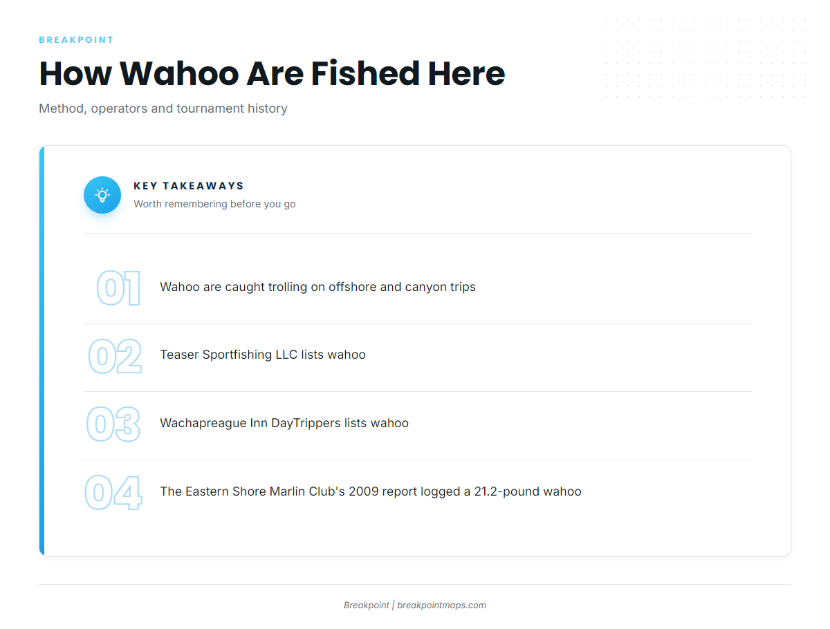
Wahoo here are caught trolling on offshore and canyon trips, which is how the fleet covers that water. The same trips can produce other fish, and our offshore gamefish guides cover them.
Local charters that list wahoo
Two Wachapreague operators list wahoo:
Eastern Shore Marlin Club: the 2009 21.2-pound fish
The Eastern Shore Marlin Club’s 2009 tournament report logged a 21.2-pound wahoo, which fits the fleet’s offshore and canyon pattern.
FAQ: wahoo fishing out of Wachapreague
When is wahoo season out of Wachapreague?
Wahoo season runs July through October, per Teaser Sportfishing. Boats run offshore and to the canyons in that window.
How far are the canyons from Wachapreague Inlet?
The canyons are about 50 miles from Wachapreague Inlet. Washington Canyon is the named canyon on this run.
What grounds are named off Wachapreague?
The named grounds are Wachapreague Reef (45 ft), Parramore Reef (55 ft), 21 Mile Hill and 26 Mile Hill (per Salt Water Sportsman), Lumpy Bottom, The Crotch, Sam’s Hill and Washington Canyon. Chart layers are not for navigation.
How is wahoo fished here?
Wahoo are caught trolling on offshore and canyon trips. The Eastern Shore Marlin Club’s 2009 tournament report logged a 21.2-pound wahoo.
Which local charters list wahoo?
Teaser Sportfishing LLC and Wachapreague Inn DayTrippers list wahoo.