When yellowfin are around Wachapreague
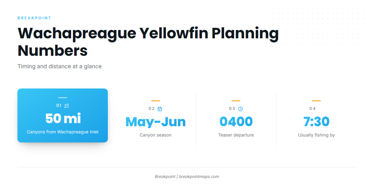
Yellowfin tuna fishing out of Wachapreague centers on May and June, with the canyons about 50 miles from Wachapreague Inlet. The town sits on Virginia’s Eastern Shore, and the Wachapreague port page for the inlet, channel, ramp and marina covers the departure side. This page covers the season, the run, the named grounds, how it is fished locally and who runs charters.
May and June canyon season
May and June is the canyon season out of Wachapreague. Yellowfin tuna biology and behavior are covered in the species page.
The run offshore
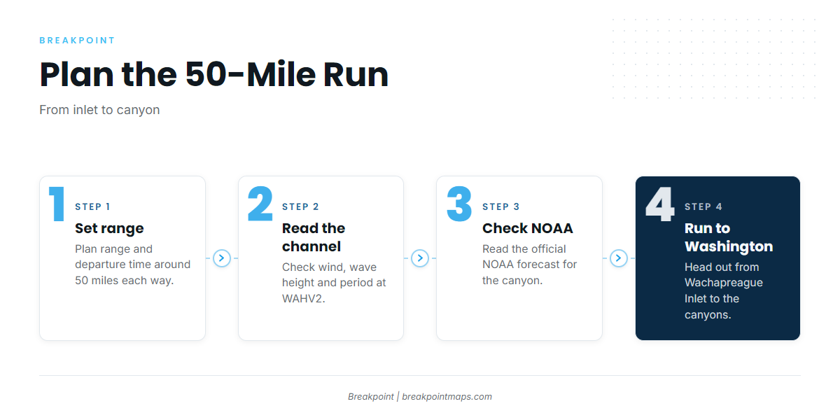
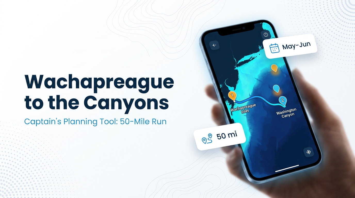
The canyons are about 50 miles from Wachapreague Inlet. For the wider picture beyond this port, see the wider Mid-Atlantic canyon picture (see also the wider Atlantic Northeast guide).
About 50 miles to the canyons
The 50-mile run each way sets your fuel, range and departure time, so plan around it.
Washington Canyon and the weed line
Washington Canyon is one of the canyons boats run to from this port. A report of the 2009 Washington Canyon weed line places the action there during a 2009 tournament.
Reading conditions at WAHV2
The nearest station is a channel tide and observation station rather than an offshore buoy, so it reports conditions in the channel and not at the canyon 50 miles out. Use its wind, wave height and period numbers as a starting point, then check the official forecast. Current readings are posted at NOAA station WAHV2 observations.
- Station: NOAA CO-OPS tide station 8631044, Wachapreague Channel
- NDBC ID: WAHV2
- Position: 37.608N 75.686W
In Breakpoint you can view layers such as OBS SST and Chart Contours along the 50-mile run. Chart layers are not for navigation.
Grounds and structure off Wachapreague
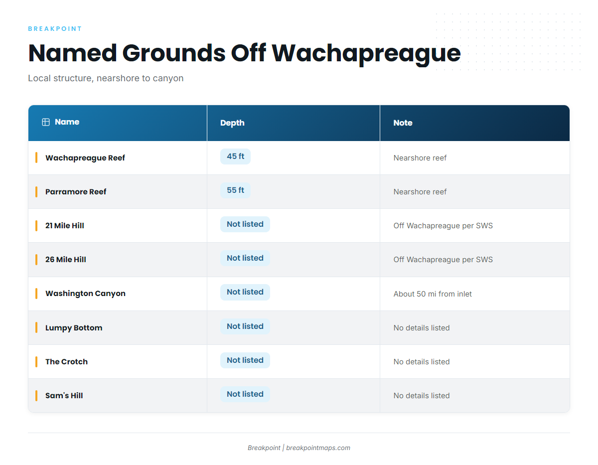
The named local structure runs from 2 nearshore reefs out to the hills and the canyon.
| Name | Depth | Note |
|---|---|---|
| Parramore Reef | 55 ft | |
| Wachapreague Reef | 45 ft | |
| 21 Mile Hill | Off Wachapreague per Salt Water Sportsman | |
| 26 Mile Hill | Off Wachapreague per Salt Water Sportsman | |
| Lumpy Bottom | ||
| The Crotch | ||
| Sam’s Hill | ||
| Washington Canyon | About 50 miles from Wachapreague Inlet |
Nearshore reefs
Parramore Reef sits in 55 ft and Wachapreague Reef in 45 ft. Both are named nearshore structure on the local chart.
The hills
21 Mile Hill and 26 Mile Hill are listed as off Wachapreague by Salt Water Sportsman.
Other named grounds
Lumpy Bottom, The Crotch and Sam’s Hill are named local grounds.
How it is fished and who fishes it
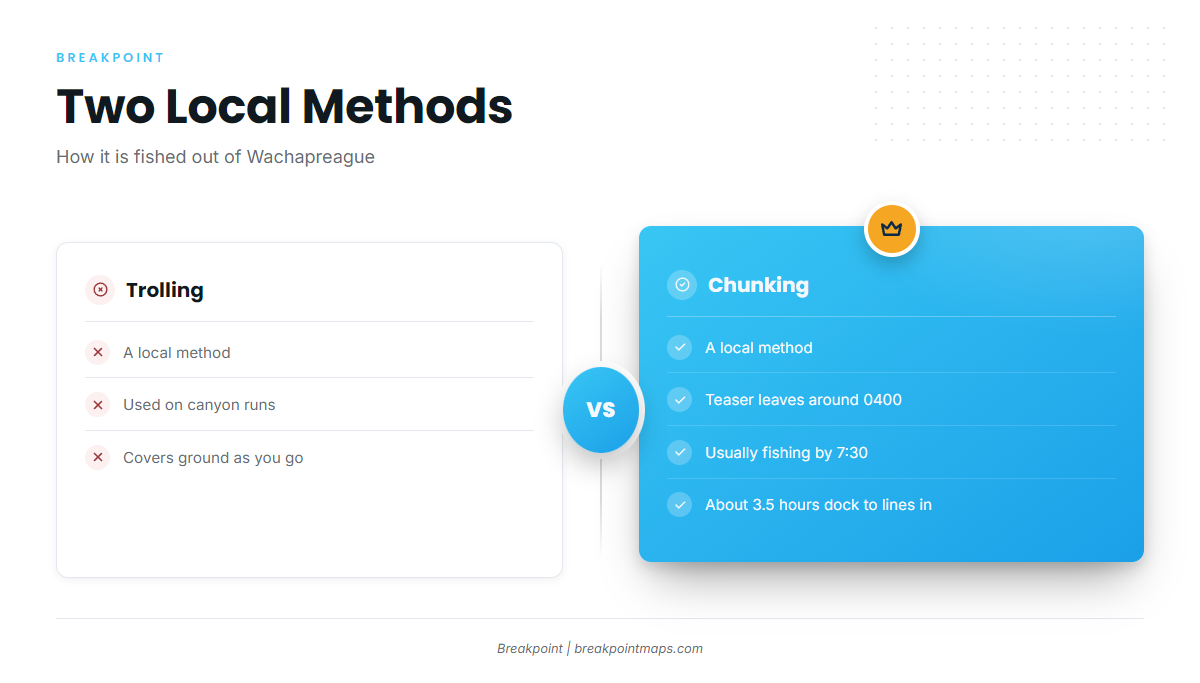
Yellowfin tuna fishing out of Wachapreague runs on 2 methods: trolling and chunking. For more on both, see trolling and chunking technique in depth.
Trolling
Trolling is a local method for yellowfin out of Wachapreague, used alongside chunking.
Chunking on Teaser’s trips
Teaser runs chunking trips. On a canyon run it departs around 0400 and is usually fishing by 7:30, per Teaser’s offshore trip schedule. That is roughly 3.5 hours from dock to lines in.
Local charters
Two local charters list yellowfin tuna:
- Teaser Sportfishing LLC, which lists yellowfin tuna.
- Marlin Magic Charters, fishing Marlin Magic, a 37-foot Topaz Express Sportfisherman, with Capt Bill Tyson.
FAQ about yellowfin tuna fishing out of Wachapreague
When is yellowfin season out of Wachapreague?
May and June canyon season.
How far are the canyons from Wachapreague Inlet?
About 50 miles. Washington Canyon is among them.
What time do charters leave for a canyon run?
Teaser departs around 0400 and is usually fishing by 7:30.
Which station reports conditions at Wachapreague?
NOAA CO-OPS tide station 8631044, Wachapreague Channel (NDBC WAHV2, 37.608N 75.686W). It is a channel station, not an offshore buoy.
Who runs yellowfin charters out of Wachapreague?
Teaser Sportfishing LLC and Marlin Magic Charters. Marlin Magic is a 37-foot Topaz Express fished by Capt Bill Tyson.