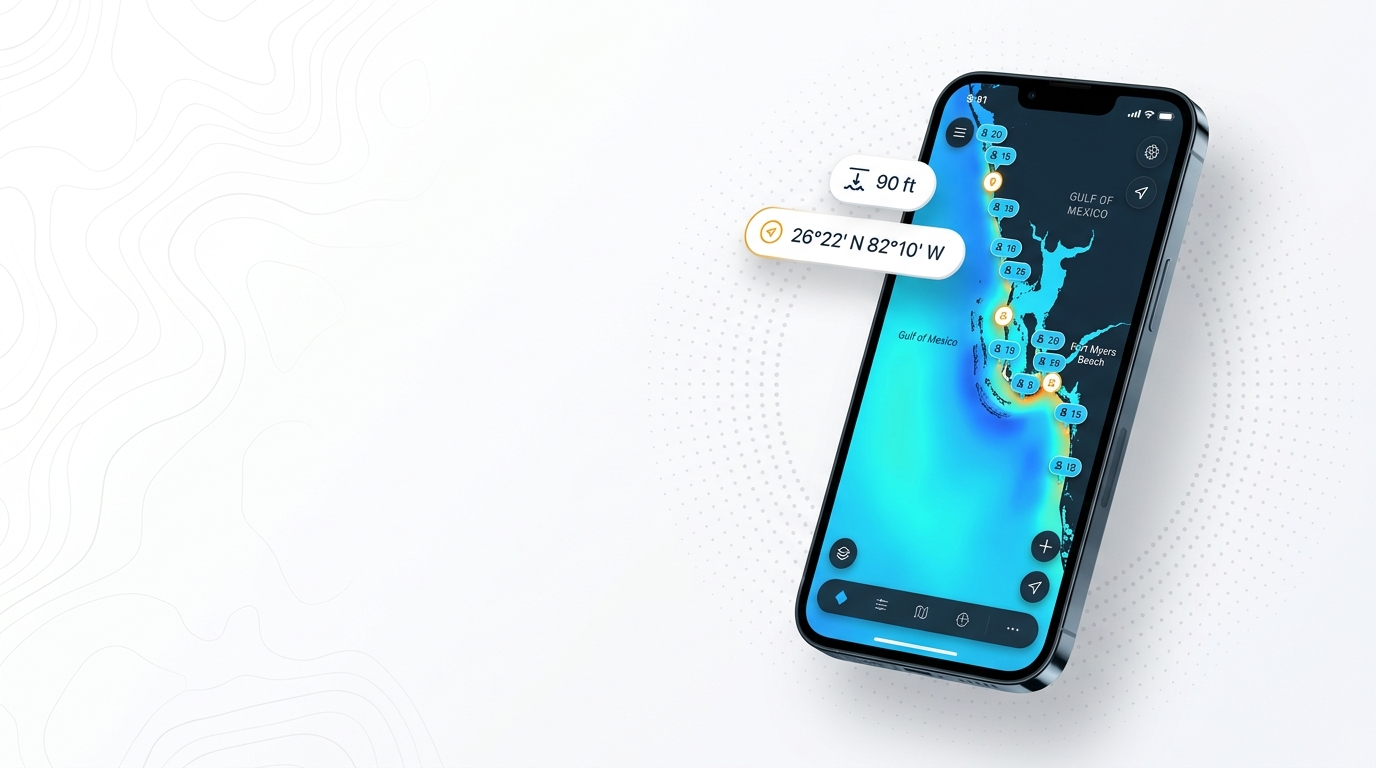
Red grouper fishing out of Fort Myers Beach happens on nearshore and offshore Gulf reefs. This page covers where the local fleet runs, the named grounds with coordinates, and which charters list red grouper from this port. Habitat, timing and tackle for red grouper are in the species guide. Use the details below as places to start looking; they say nothing about what’s biting. The wider picture is in the red grouper fishing in the Gulf of Mexico and the Gulf of Mexico region guide.
Where boats run
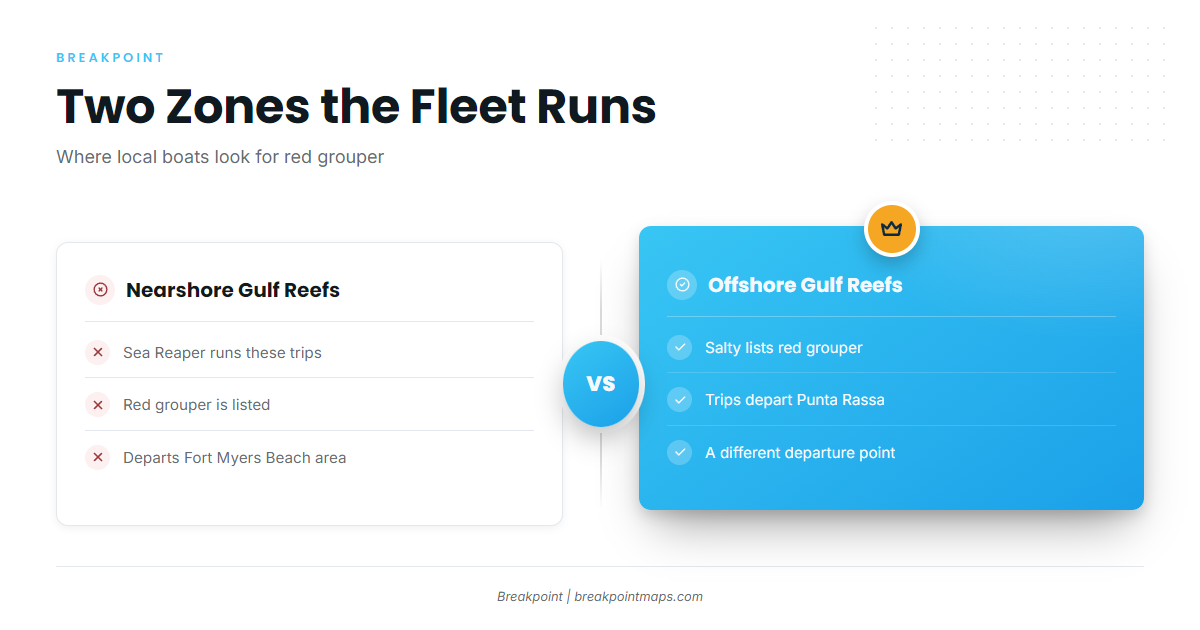
The local fleet works two zones, nearshore and offshore Gulf reefs, and operator listings show red grouper in both. The wider Gulf picture is in our reef fish guides.
Nearshore Gulf reefs
Sea Reaper runs nearshore Gulf trips for red grouper under Captain Chris Argiro.
Offshore Gulf reefs
Salty lists red grouper on offshore trips, but those depart from Punta Rassa rather than Fort Myers Beach.
Named grounds near Fort Myers Beach
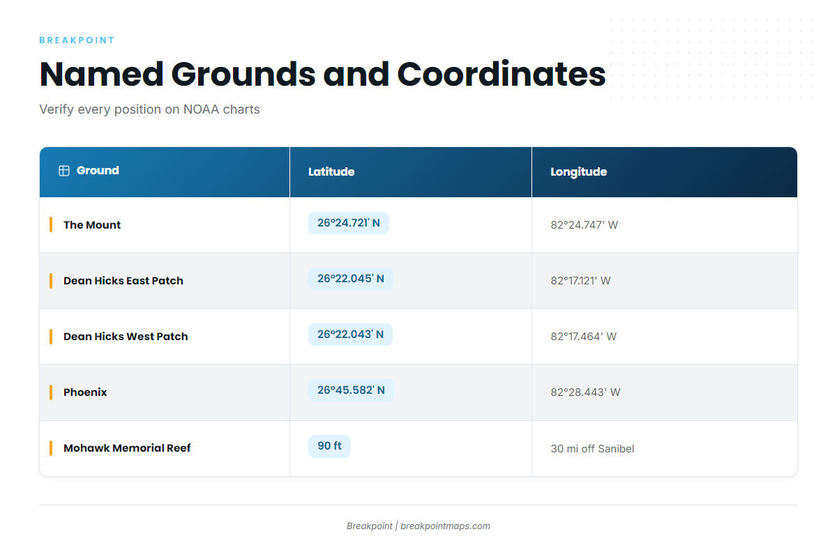
These are the named reefs and structure near the port. Coordinates are in degrees and decimal minutes.
| Ground | Type/owner as given | Latitude | Longitude | Depth/distance |
|---|---|---|---|---|
| Big Carlos Bridge Artificial Reef | – | – | – | – |
| The Mount | Chris Koepfer’s ARC reef site | 26°24.721′ N | 82°24.747′ W | – |
| Dean Hicks East Patch | – | 26°22.045′ N | 82°17.121′ W | – |
| Dean Hicks West Patch | – | 26°22.043′ N | 82°17.464′ W | – |
| Phoenix | Lee County reef site | 26°45.582′ N | 82°28.443′ W | – |
| USCGC Mohawk WPG-78 Veterans Memorial Reef | – | – | – | 90 ft, about 30 miles off Sanibel Island |
Swipe the table sideways to see every column.
Chart layers and published coordinates are not for navigation. Verify every position against official NOAA charts.
Big Carlos Bridge Artificial Reef
Big Carlos Bridge Artificial Reef is a named ground near the port.
The Mount
The Mount is Chris Koepfer’s ARC reef site, and anglers who track ARC reefs will know it by that name.
Dean Hicks East Patch and West Patch
The two patches share a latitude near 26°22.04′ N and sit about 0.3 minutes of longitude apart.
Phoenix
Phoenix is a Lee County reef site. At 26°45.582′ N it lies farther north than the other listed sites, which sit between roughly 26°22′ and 26°24′ N.
USCGC Mohawk WPG-78 Veterans Memorial Reef
The Mohawk sits in 90 ft, about 30 miles off Sanibel Island.
Who fishes red grouper from this port
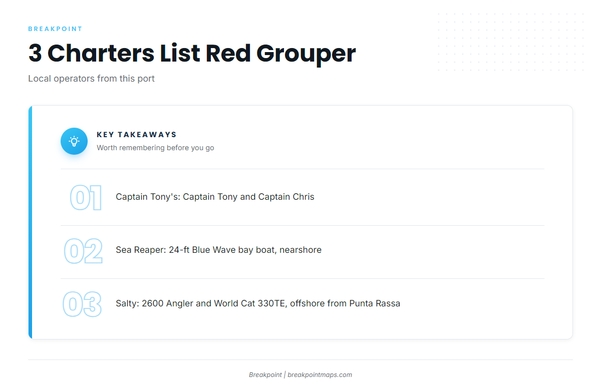
Three local charters list red grouper. The operator details below are as listed.
Captain Tony’s Deep Sea Fishing
Captain Tony’s Deep Sea Fishing is a Fort Myers Beach operator, with Captain Tony and Captain Chris named on its site.
Sea Reaper Fishing Charters
Captain Chris Argiro runs a 24-foot Blue Wave bay boat with a 300-hp Suzuki on nearshore Gulf trips.
Salty Fishing Charters
Captain Daniel Medina runs a 2600 Angler and a World Cat 330TE, with offshore trips departing Punta Rassa.
FAQ: red grouper fishing out of Fort Myers Beach
Where do boats run for red grouper out of Fort Myers Beach?
Nearshore and offshore Gulf reefs. Sea Reaper fishes nearshore, and Salty runs offshore from Punta Rassa.
How deep is the Mohawk reef?
The USCGC Mohawk WPG-78 Veterans Memorial Reef sits in 90 ft, about 30 miles off Sanibel Island.
What are the Dean Hicks reef coordinates?
East Patch is 26°22.045′ N, 82°17.121′ W. West Patch is 26°22.043′ N, 82°17.464′ W. Verify both against NOAA charts.
Which charters list red grouper?
Captain Tony’s Deep Sea Fishing, Sea Reaper Fishing Charters and Salty Fishing Charters.
Where do I find the red grouper rules?
Check FWC’s Florida rules before fishing. Offshore grounds can fall under federal Gulf reef fish rules.
When are red grouper around?
Timing is covered in the red grouper species guide.