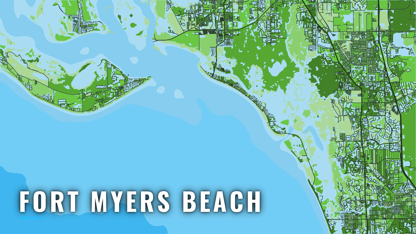

About Fort Myers Beach
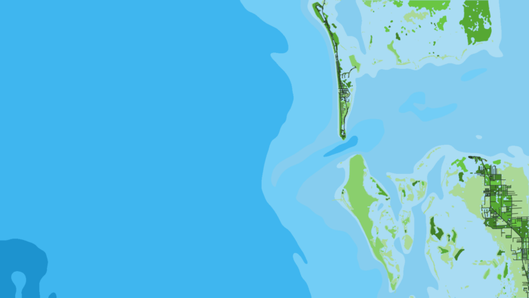
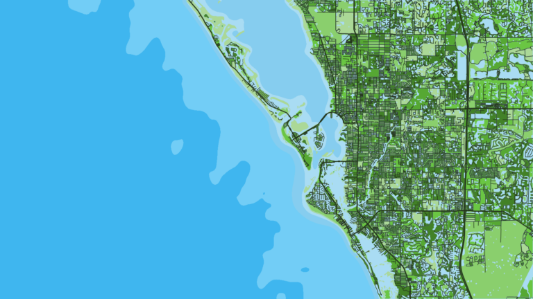
Fort Myers Beach sits on Estero Island, with San Carlos Island and its shrimp terminals on the bay side. Offshore fishing here runs year-round. Boats reach the Gulf of Mexico (Gulf of America) through Matanzas Pass and San Carlos Bay, or through Big Carlos Pass to the south, by way of San Carlos and Estero bays. Anglers target gag and red grouper, red snapper, mangrove snapper, amberjack, king mackerel, cobia, permit and tarpon.
Florida state waters extend 9 nautical miles off the Gulf coast, and reef fish rules can change at that line. Licensing and rules are on our Florida page, and the FWC saltwater fishing rules are the official source, so check them before you fish. The State Reef Fish Angler designation is free, renewed every year, and required for private-vessel anglers 16 and older who keep or target species such as red snapper, gag and red grouper, and amberjack.
Access and navigation
Ramps and marinas
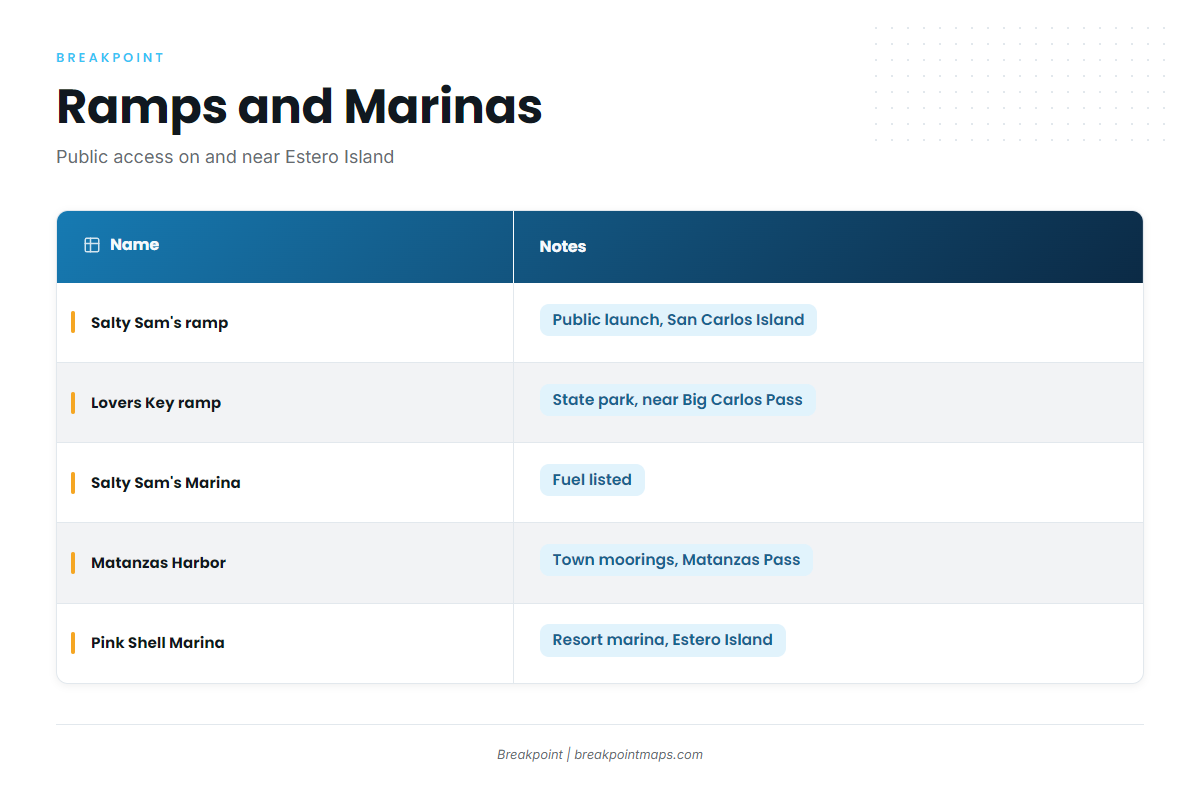
Public ramps and marinas on and near Estero Island:
- Salty Sam’s Marina boat ramp – public launch on San Carlos Island
- Lovers Key State Park boat ramp – state park ramp near Big Carlos Pass
- Salty Sam’s Marina – marina with fuel listed
- Matanzas Harbor Municipal Mooring Field – town moorings in Matanzas Pass
- Pink Shell Beach Resort & Marina – resort marina on Estero Island
How the passes tend to behave
Matanzas Pass is the main way out. It opens into the southeast end of San Carlos Bay, about 2.5 miles from Sanibel Island Light. A dredged, lighted channel runs from the bay through the pass to a turning basin off the San Carlos Island shrimp terminals. San Carlos Bay is mostly shoals, with depths of 1 to 6 ft. Entrance channel aids have been relocated after shoaling, so trust the buoys on the water over an old chart. Shrimp boats and the mooring field share the pass, so expect working traffic and moored boats east of the Sky Bridge, a fixed span with 65 ft of clearance between Estero and San Carlos islands. An outgoing tide against an onshore or west wind can stand the pass up over a shoaled bar. These details come from U.S. Coast Pilot 5, Chapter 4.
Big Carlos Pass is the southern alternative. It lies about 1.5 miles northwest of New Pass and is marked by lighted and unlighted buoys. It has a history of shoaling, including shoaling to bare up to the bridge, which has been part of a Lee County replacement project. Consider it when Matanzas Pass looks bigger than you want. The same rule applies there: trust the buoys on the water.
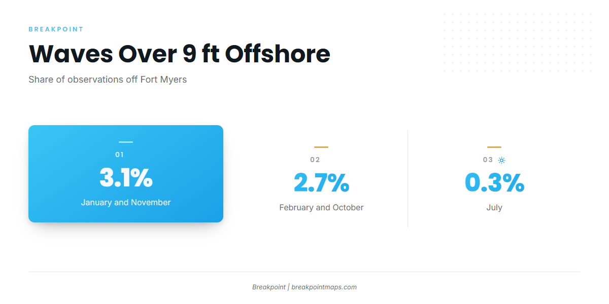
Offshore, the Coast Pilot table for the area off Fort Myers shows waves over 9 ft in about 3.1% of observations in January and November, 2.7% in February and October, and 0.3% in July. Cold fronts from fall through spring bring strong, gusty winds.
| Month | Waves over 9 ft (share of observations) |
|---|---|
| January | About 3.1% |
| February | About 2.7% |
| July | About 0.3% |
| October | About 2.7% |
| November | About 3.1% |
Where to read conditions
The NWS Tampa Bay marine zones cover Bonita Beach to Englewood out 20 NM, the 20 to 60 NM zone for long runs, and Charlotte Harbor and Pine Island Sound. NDBC station FMRF1 reports wind, water level and water temperature. It is a river station rather than an offshore buoy, so it describes the bay and says little about the 20 to 60 NM zone.
When you arrive, look at the water and check the NWS Tampa Bay forecast. If Matanzas Pass looks bigger than you want, switch approaches.
Fishing conditions
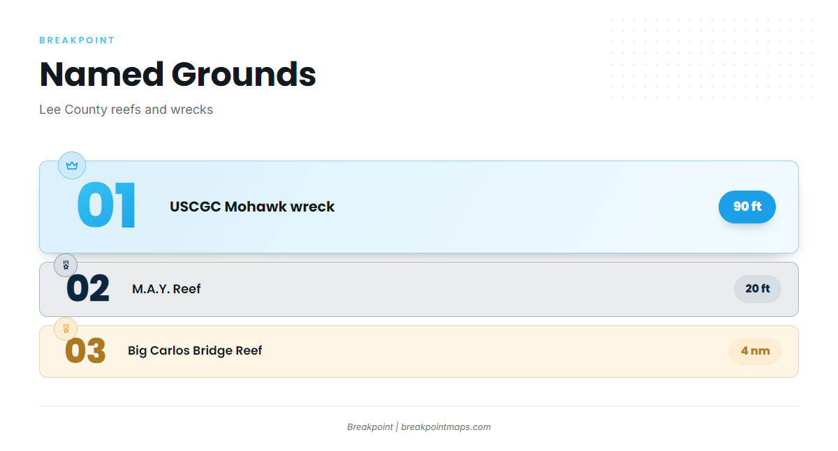
Anglers fish nearshore artificial reefs and deeper bottom offshore. The Lee County artificial reef program is the place to get positions. Named grounds:
- Big Carlos Bridge Artificial Reef – 4 nm from the entrance
- M.A.Y. Reef – 20 ft
- The Mount (Chris Koepfer’s ARC reef site)
- Dean Hicks reef – East Patch and West Patch
- USCGC Mohawk WPG-78 Veterans Memorial Reef – wreck in 90 ft
Chart Contours shows depth around these sites in the app. Chart layers are not for navigation. Boats also troll for pelagics such as mahi-mahi and king mackerel; see mahi-mahi in the Gulf. For bluewater pelagics on a long run west, see our mahi-mahi, wahoo and sailfish guides.
Winter
In winter, offshore boats out of Fort Myers Beach work amberjack and king mackerel. Cold fronts tend to limit weather windows, and the January and February wave figures above reflect that. Inshore, sheepshead, black drum and spotted seatrout fill the box.
Spring
In spring, king mackerel pair with grouper and snapper offshore. Cobia show up around reefs and markers. Spanish mackerel, bonito and permit are also running. Tarpon, snook and redfish work the passes and inshore water.
Summer
Summer is the red snapper and gag grouper window, with mangrove snapper strong on reefs and wrecks. Permit can show on wrecks. Afternoon thunderstorms tend to build, so early starts usually get the better hours, which fits July’s 0.3% wave figure. Red snapper and gag seasons change by year and by state or federal water, so check FWC before you go.
Autumn
In autumn, kingfish run nearshore in October, and Gulf king mackerel are the fish to plan around. Look for cobia in the Gulf as well, along with Spanish mackerel, bonito and permit. Redfish, snook and tarpon fish inshore. Fall fronts return, as the October (2.7%) and November (3.1%) wave figures show. Check the forecast before you commit to a run.