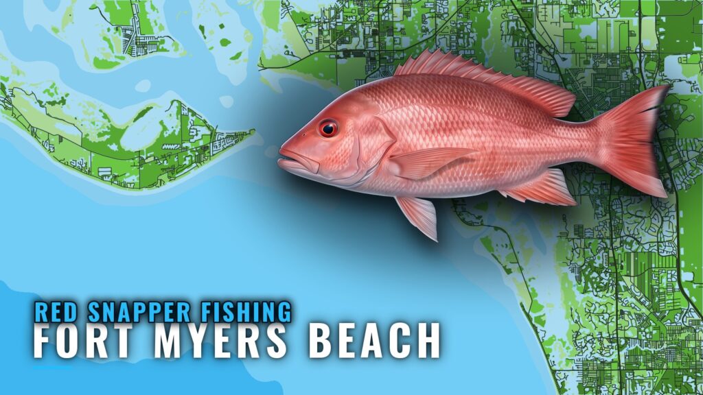
When red snapper are around Fort Myers Beach
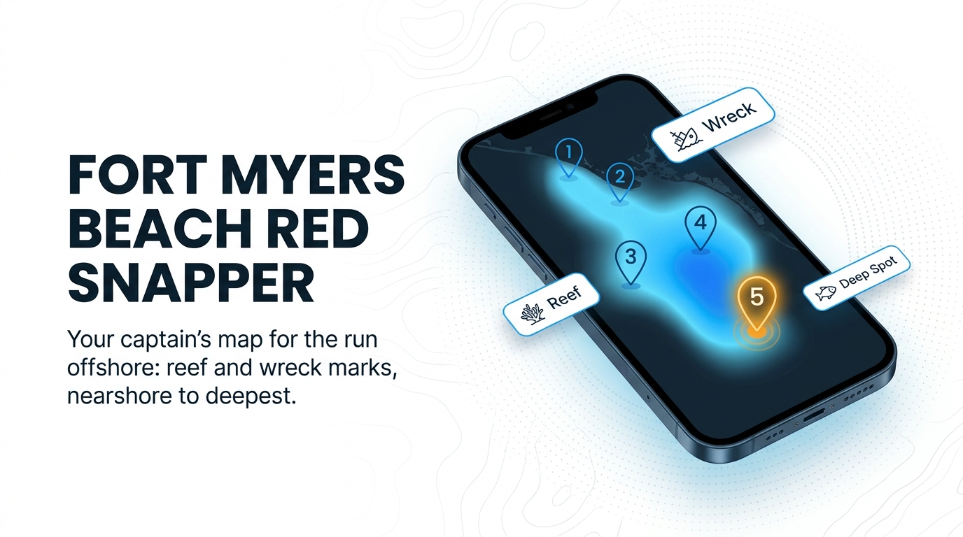
Red snapper fishing out of Fort Myers Beach means running to Gulf reefs and wrecks. This page lists named structure with published coordinates so you can decide where to look. For getting out of port and reading conditions, use the Fort Myers Beach port guide. For the whole coast, see the Gulf of Mexico fishing guide.
Peak window
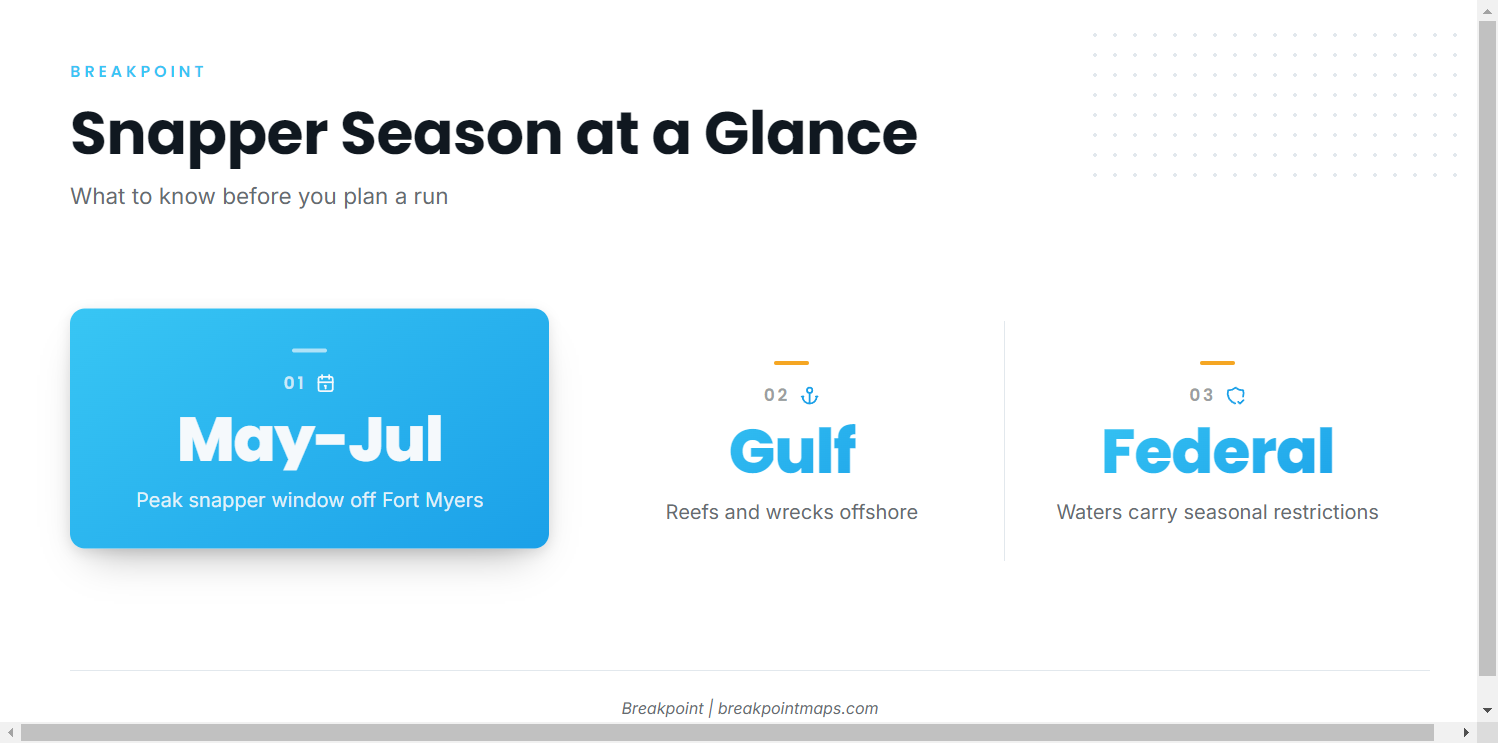
Snapper fishing off Fort Myers peaks from May through July. That window covers the snapper family broadly, not red snapper alone. For biology and depth, see the red snapper species guide.
Federal waters
Federal waters carry seasonal restrictions. Read the regulations section below before planning a run.
Where boats run: Gulf reefs and wrecks
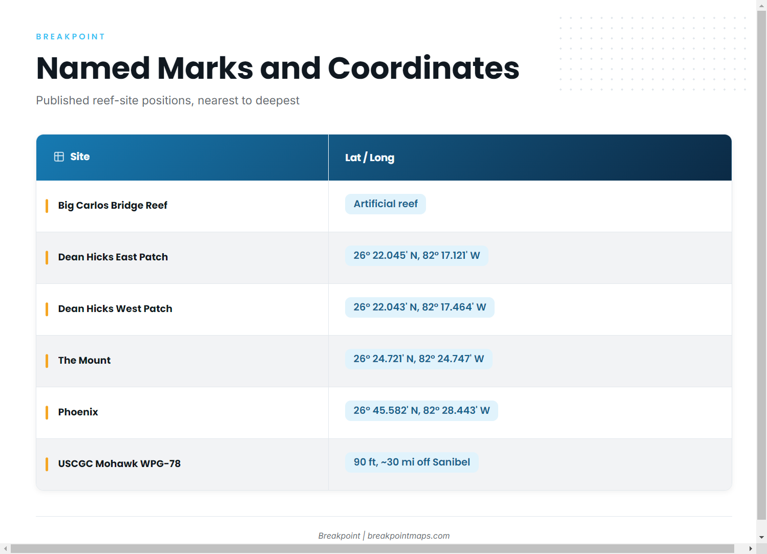
Boats out of Fort Myers Beach run to Gulf reefs and wrecks. The sites below are ordered from the nearest named structure to the deepest and farthest. Several belong to the Lee County artificial reef program.
Nearshore Lee County reefs
Big Carlos Bridge Artificial Reef is the first named structure on the list.
Dean Hicks East Patch and West Patch sit side by side at nearly the same latitude, with East Patch just east of West Patch.
The Mount is Chris Koepfer’s ARC reef site. The Dean Hicks patches lie east and slightly south of it.
Phoenix is a Lee County reef site, well north and west of both The Mount and the Dean Hicks patches.
The coordinates table below gives positions for each.
USCGC Mohawk WPG-78 Veterans Memorial Reef
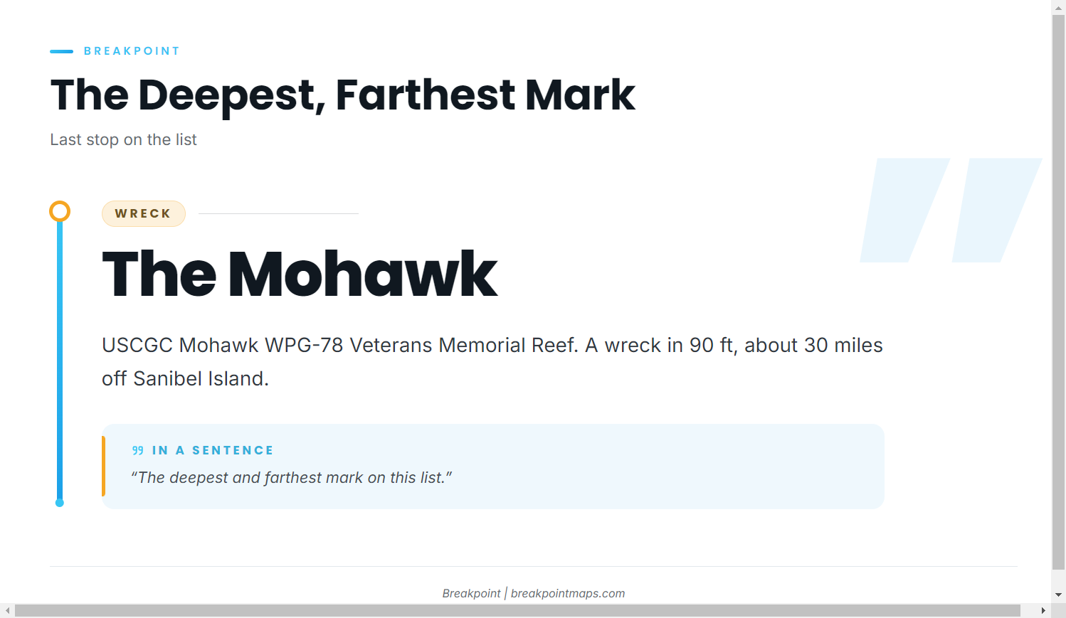
The USCGC Mohawk WPG-78 Veterans Memorial Reef is a wreck in 90 ft of water, about 30 miles off Sanibel Island. It is the deepest and farthest mark on this list.
Coordinates table
| Site | Latitude / longitude | Notes |
|---|---|---|
| Big Carlos Bridge Artificial Reef | – | Artificial reef |
| Dean Hicks East Patch | 26° 22.045′ N, 82° 17.121′ W | East of West Patch |
| Dean Hicks West Patch | 26° 22.043′ N, 82° 17.464′ W | West of East Patch |
| The Mount (Chris Koepfer’s ARC reef site) | 26° 24.721′ N, 82° 24.747′ W | West of the Dean Hicks patches |
| Phoenix (Lee County reef site) | 26° 45.582′ N, 82° 28.443′ W | Northernmost listed site |
| USCGC Mohawk WPG-78 Veterans Memorial Reef | – | 90 ft, about 30 miles off Sanibel Island |
Coordinates are published reef-site positions. Chart layers are not for navigation.
How it is fished and who fishes it
Bottom fishing
The local method is bottom fishing on the reefs and wrecks. For technique beyond that, see the Gulf reef fish guides.
Fort Myers charters that list red snapper
Salty Fishing Charters, run by Capt. Daniel Medina, fishes from a 2600 Angler and a World Cat 330TE. The operator lists red snapper on its offshore trips. A Fort Myers charter is one way to see these grounds fished before you run your own boat out.
FAQ: red snapper fishing out of Fort Myers Beach
When is peak snapper fishing out of Fort Myers Beach?
May through July. That covers the snapper family broadly, not red snapper alone, and federal waters carry seasonal restrictions.
How deep is the Mohawk?
90 ft, about 30 miles off Sanibel Island. The full name is USCGC Mohawk WPG-78 Veterans Memorial Reef.
What are the coordinates for The Mount?
26° 24.721′ N, 82° 24.747′ W. It is Chris Koepfer’s ARC reef site. Published positions are for planning; chart layers are not for navigation.
How do locals fish for red snapper here?
Bottom fishing on Gulf reefs and wrecks.
Who runs red snapper charters out of Fort Myers Beach?
Salty Fishing Charters, Capt. Daniel Medina, on a 2600 Angler and a World Cat 330TE. The operator lists red snapper on offshore trips.